Burnt House Copse
Wood, Forest in Somerset Somerset West and Taunton
England
Burnt House Copse
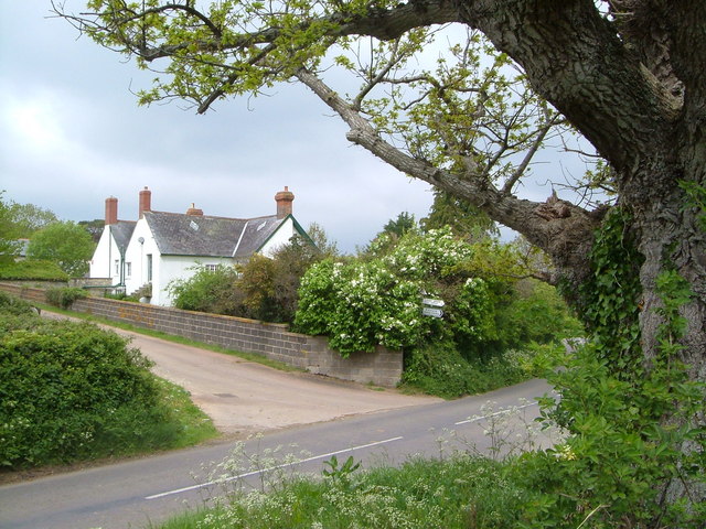
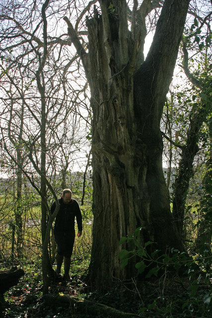
Burnt House Copse is a picturesque woodland located in Somerset, England. Covering an area of approximately 50 acres, this ancient forest is known for its diverse flora and fauna, making it a popular destination for nature enthusiasts and hikers alike.
The copse is characterized by its dense canopy of oak, beech, and ash trees, which provide a natural habitat for a wide range of woodland creatures. Visitors can expect to encounter various bird species, including woodpeckers, owls, and thrushes, as well as small mammals such as badgers, foxes, and squirrels.
The forest floor is carpeted with a rich assortment of wildflowers, ferns, and mosses, creating a vibrant tapestry of colors throughout the seasons. In spring, bluebells and primroses bloom in abundance, painting the woodland with bursts of purple and yellow.
Tranquil streams meander through the copse, adding to its charm and creating a serene atmosphere. These streams provide a water source for the wildlife and contribute to the overall ecosystem of the forest.
Burnt House Copse offers several walking trails that allow visitors to explore its natural beauty at their own pace. These trails vary in difficulty, catering to both casual strollers and more experienced hikers. Along the way, informative signs provide details about the local flora and fauna, enhancing the educational aspect of the visit.
Overall, Burnt House Copse is a hidden gem in Somerset, offering a peaceful retreat from the hustle and bustle of everyday life. Its untouched beauty and abundant wildlife make it a must-visit destination for anyone seeking a genuine connection with nature.
If you have any feedback on the listing, please let us know in the comments section below.
Burnt House Copse Images
Images are sourced within 2km of 50.985912/-3.0366753 or Grid Reference ST2721. Thanks to Geograph Open Source API. All images are credited.


Burnt House Copse is located at Grid Ref: ST2721 (Lat: 50.985912, Lng: -3.0366753)
Administrative County: Somerset
District: Somerset West and Taunton
Police Authority: Avon and Somerset
What 3 Words
///powering.wake.botanists. Near Creech St Michael, Somerset
Nearby Locations
Related Wikis
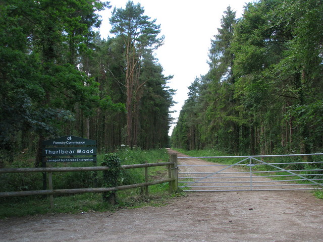
Thurlbear Wood and Quarrylands
Thurlbear Wood and Quarrylands (grid reference ST270210) is a 26.7 hectare (65.8 acre) biological Site of Special Scientific Interest south of Stoke St...
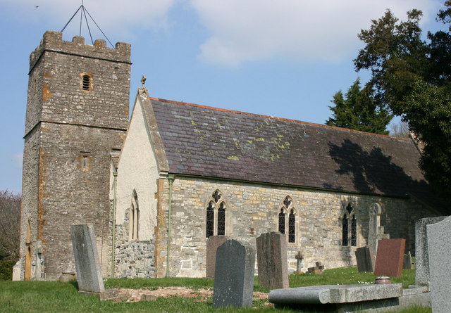
Church of St Mary, Stoke St Mary
The Anglican Church of St Mary in Stoke St Mary, Somerset, England was built in the 13th century. It is a Grade II* listed building. == History == The...

West Hatch
West Hatch is a hamlet and civil parish in Somerset, England, situated 5 miles (8.0 km) south east of Taunton. It has a population of 306. == History... ==
Stoke St Mary
Stoke St Mary is a village and civil parish in Somerset, England, situated 2 miles (3.2 km) south east of Taunton. == History == The earliest recorded...
Nearby Amenities
Located within 500m of 50.985912,-3.0366753Have you been to Burnt House Copse?
Leave your review of Burnt House Copse below (or comments, questions and feedback).