Northern Edge Coppice
Wood, Forest in Devon East Devon
England
Northern Edge Coppice
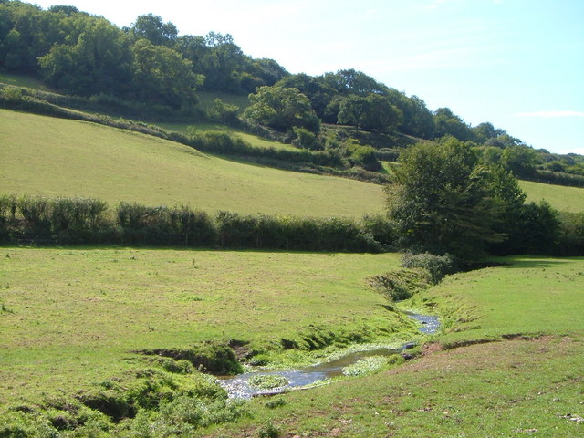
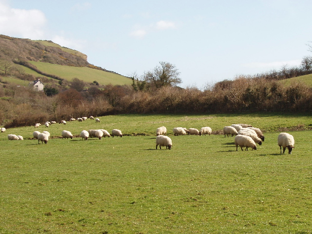
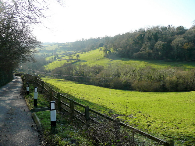
Northern Edge Coppice is a picturesque woodland located in Devon, England. Covering an area of approximately 50 acres, this enchanting forest offers a serene and tranquil escape for nature enthusiasts and outdoor lovers alike.
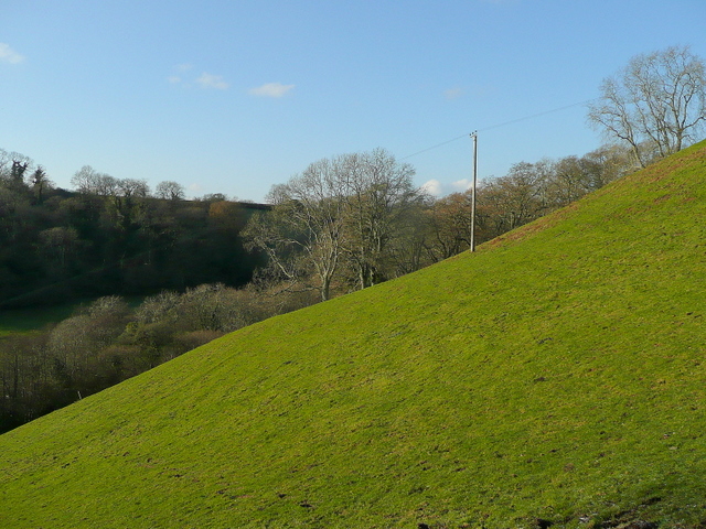
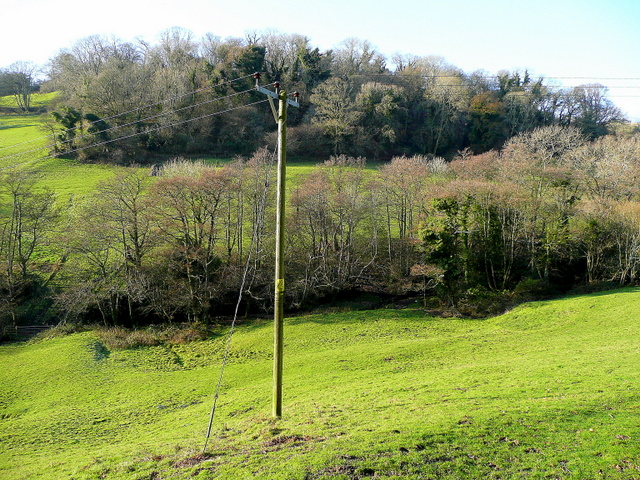
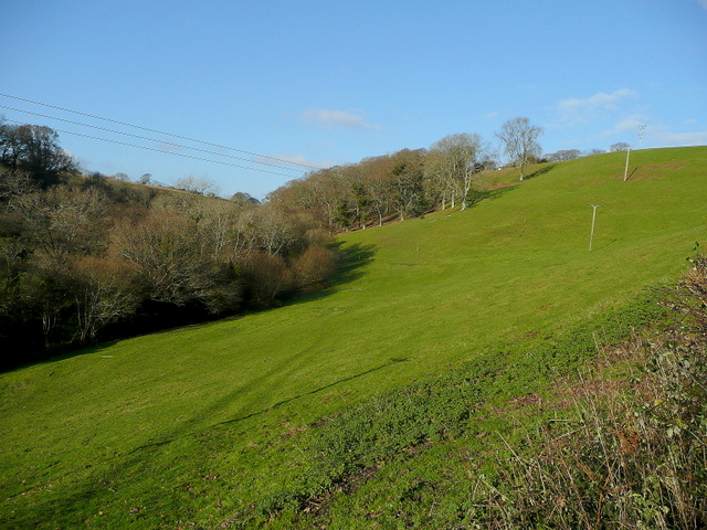
The woodland is predominantly made up of native deciduous trees, including oak, beech, and birch, which create a stunning canopy that bathes the forest floor in dappled sunlight. These trees have been carefully managed through a traditional coppicing technique, which involves cutting the trees to ground level and allowing them to regrow, promoting biodiversity and the growth of new shoots.
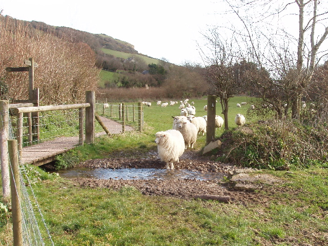
The forest is home to a diverse range of flora and fauna, providing a habitat for various species of birds, insects, and small mammals. Visitors to Northern Edge Coppice may be lucky enough to spot woodland creatures such as deer, foxes, and badgers, as they explore the winding trails that navigate through the forest.
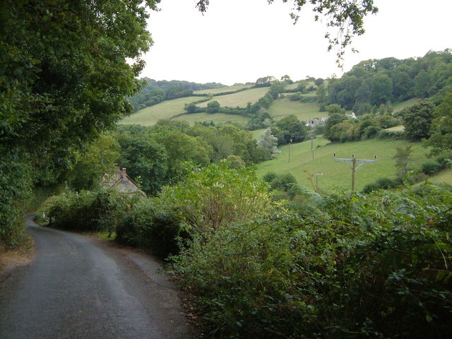
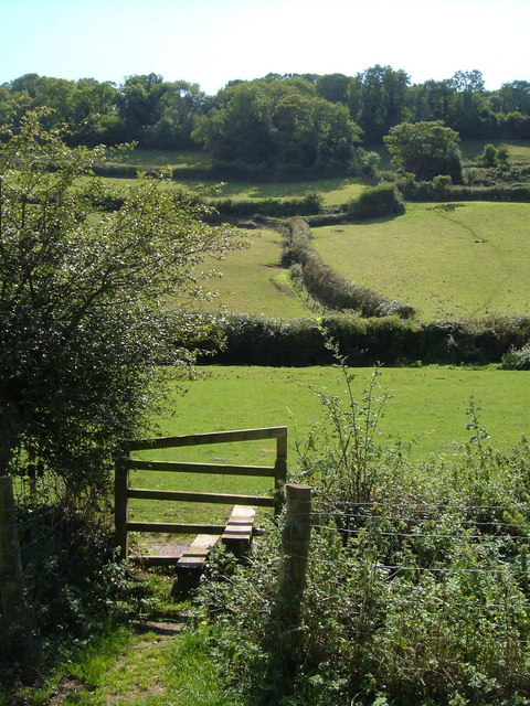
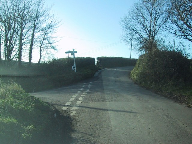
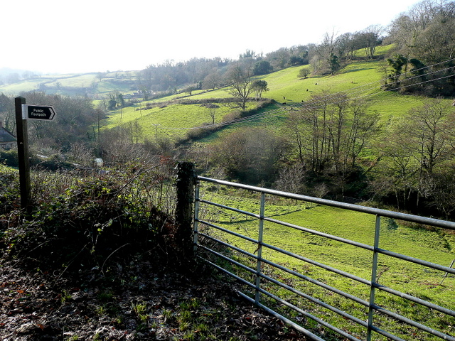
The woodland also boasts a network of well-maintained footpaths, making it easily accessible for walkers and hikers of all abilities. These paths lead visitors through the heart of the forest, allowing them to immerse themselves in the natural beauty of the surroundings and discover hidden gems such as babbling brooks and wildflower meadows.
Northern Edge Coppice is not only a haven for wildlife and nature enthusiasts but also serves as an educational resource for local schools and community groups. Guided tours and workshops are regularly organized, providing an opportunity for visitors to learn about woodland management, conservation, and the importance of sustainable practices.
In conclusion, Northern Edge Coppice in Devon is a captivating woodland that offers a sanctuary for both flora and fauna, as well as a place for individuals to connect with nature and learn about the importance of environmental stewardship.
If you have any feedback on the listing, please let us know in the comments section below.
Northern Edge Coppice Images
Images are sourced within 2km of 50.700546/-3.1541866 or Grid Reference SY1889. Thanks to Geograph Open Source API. All images are credited.
Northern Edge Coppice is located at Grid Ref: SY1889 (Lat: 50.700546, Lng: -3.1541866)
Administrative County: Devon
District: East Devon
Police Authority: Devon and Cornwall
What 3 Words
///dozen.appealing.impulse. Near Sidmouth, Devon
Related Wikis

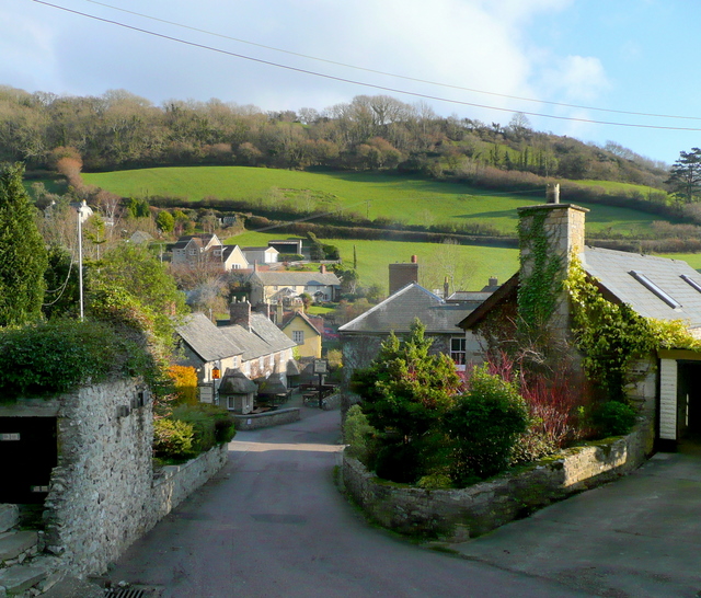
Street, Devon
Street is a small village in the East Devon district of Devon, England. Its nearest town is Sidmouth, which lies approximately 4 miles (6.4 km) south-west...

St Winifred's Church, Branscombe
St Winifred's Church is a Church of England church in Branscombe in Devon, England. The church is dedicated to Saint Winifred, a Welsh saint. It is among...
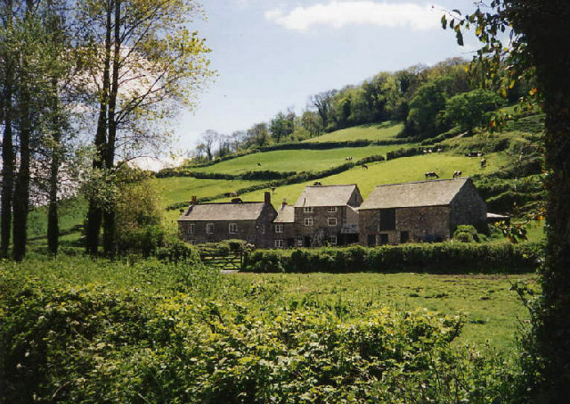
The Old Bakery, Manor Mill & Forge
The Old Bakery, Manor Mill & Forge is a collection of buildings in Branscombe, Seaton, Devon, England. The property has been in the ownership of the National...

Berry Camp
Berry Camp or Berry Cliff, is an Iron Age Hill fort on a partially eroded cliff top close to Branscombe in Devon. The cliff is situated some 140 metres...

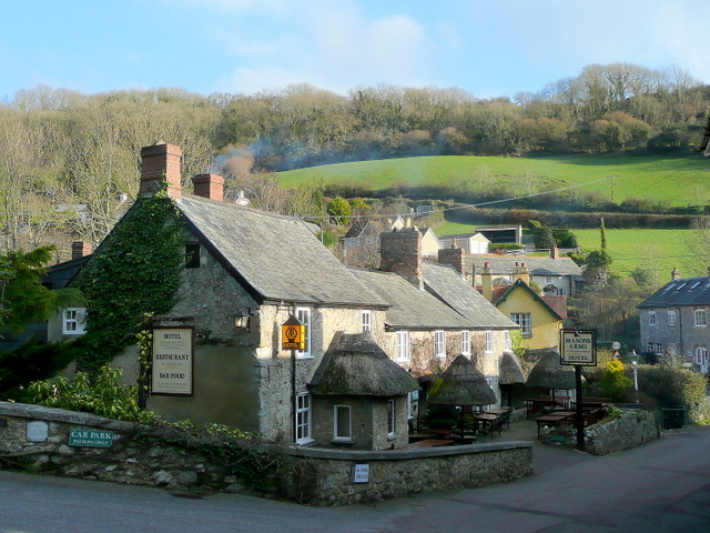
Branscombe
Branscombe is a village in the East Devon district of the English County of Devon. The parish covers 3,440 acres (1,390 ha). Its permanent population in...

Weston, Devon
Weston is a small hamlet near Sidmouth in East Devon, England. It is near the Donkey Sanctuary and less than a mile from the beach at Branscombe; footpaths...
The Donkey Sanctuary
The Donkey Sanctuary is a British charitable organisation devoted to the welfare of donkeys. The charity, which is based near Sidmouth in Devon, England...
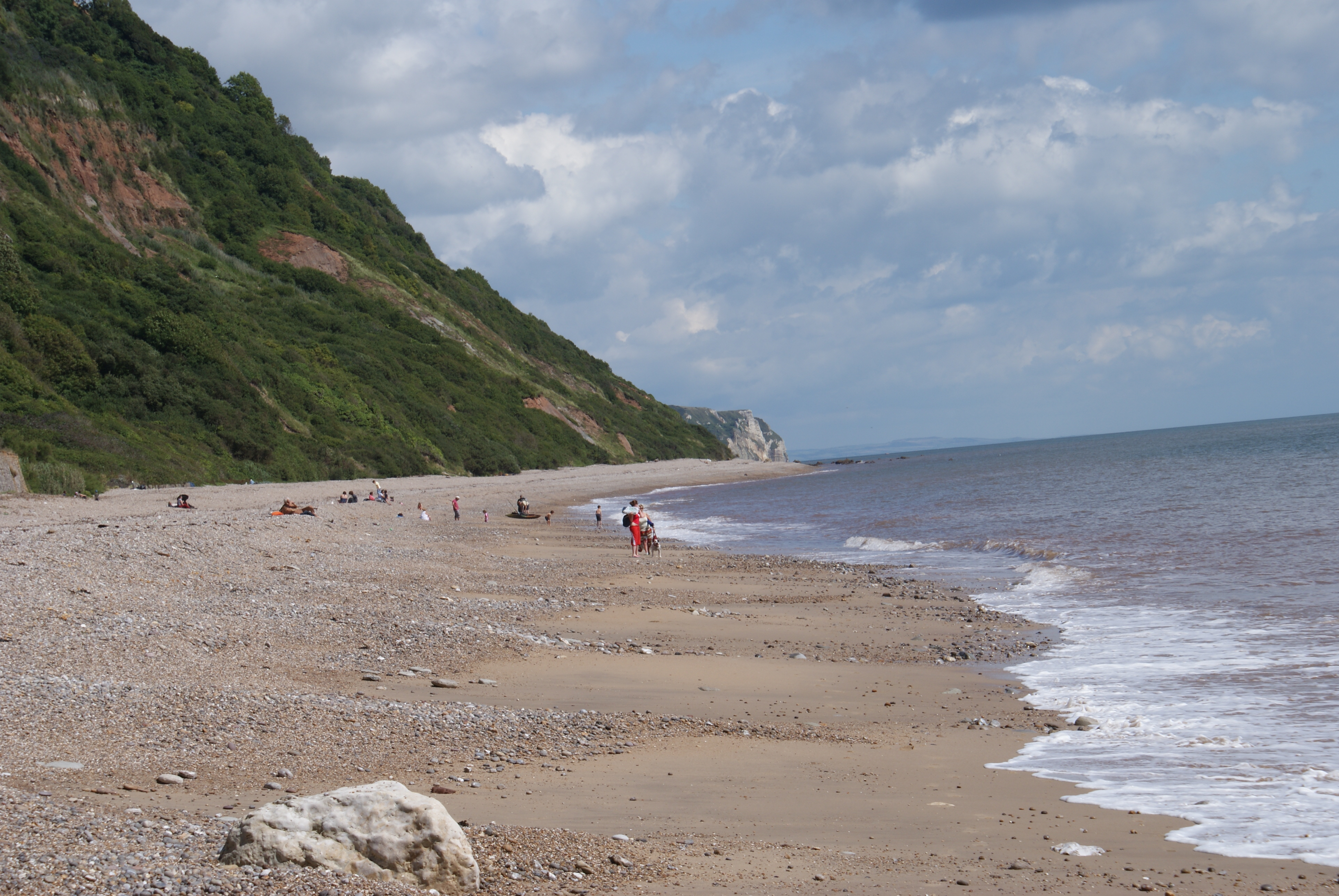
Weston Mouth
Weston Mouth is an isolated beach on the East Devon coast between Sidmouth and Seaton in England. It can be reached only by footpath, either along the...
Nearby Amenities
Located within 500m of 50.700546,-3.1541866Have you been to Northern Edge Coppice?
Leave your review of Northern Edge Coppice below (or comments, questions and feedback).