Higher House Coppice

Wood, Forest in Devon East Devon

England

Higher House Coppice

Branscombe valley The valley north of the village, seen from Seller's Wood Hill (though the house is spelt "Sellars Wood"). Gay's Farm is on the other side of the valley, with Margell's Hill beyond.
Branscombe valley Credit: Derek Harper

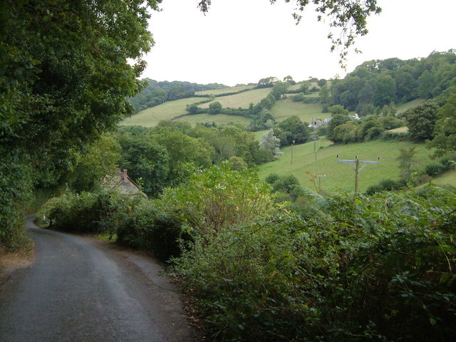
Higher House Coppice is a picturesque woodland area located in Devon, England. Spread across several acres, this forest is a haven for nature enthusiasts and provides a serene escape from the hustle and bustle of everyday life.

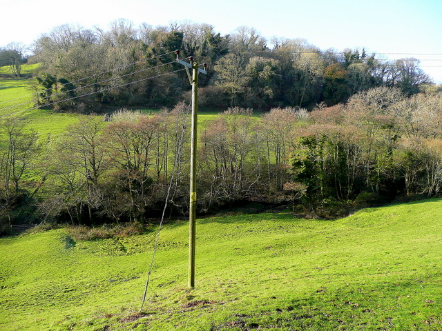
The coppice is primarily composed of mature deciduous trees, including oak, beech, and ash, which create a dense canopy that filters sunlight and creates a cool and shaded environment beneath. The forest floor is adorned with a rich carpet of mosses, ferns, and wildflowers, adding to the enchanting atmosphere.

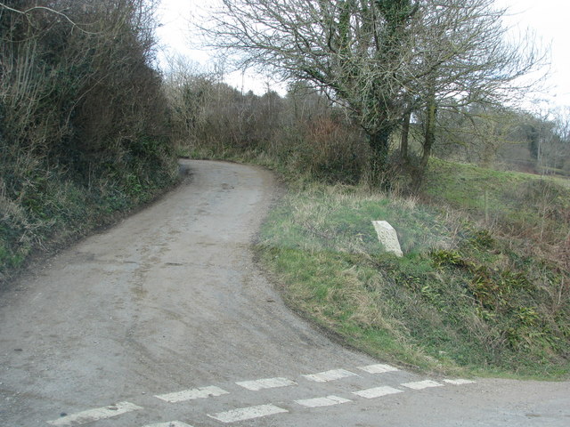
Visitors to Higher House Coppice can explore a network of well-maintained woodland trails that wind their way through the forest. These paths offer opportunities for leisurely walks, hikes, or even cycling, allowing visitors to fully immerse themselves in the natural beauty of the area. Along the way, there are several strategically placed benches, providing spots for contemplation or simply admiring the scenery.

The coppice is also home to a diverse array of wildlife, making it a popular destination for birdwatchers and wildlife photographers. The forest provides a habitat for various species, including woodpeckers, owls, deer, and squirrels, which can often be spotted amidst the trees or heard rustling in the undergrowth.

Overall, Higher House Coppice in Devon offers a tranquil and enchanting woodland experience. Its ancient trees, lush vegetation, and abundant wildlife make it an ideal destination for nature lovers seeking solace and a connection with the natural world.

If you have any feedback on the listing, please let us know in the comments section below.

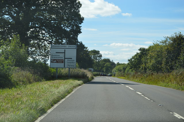
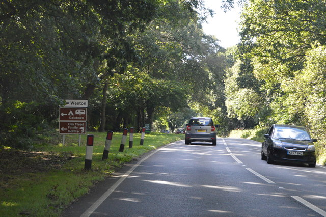
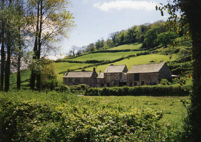
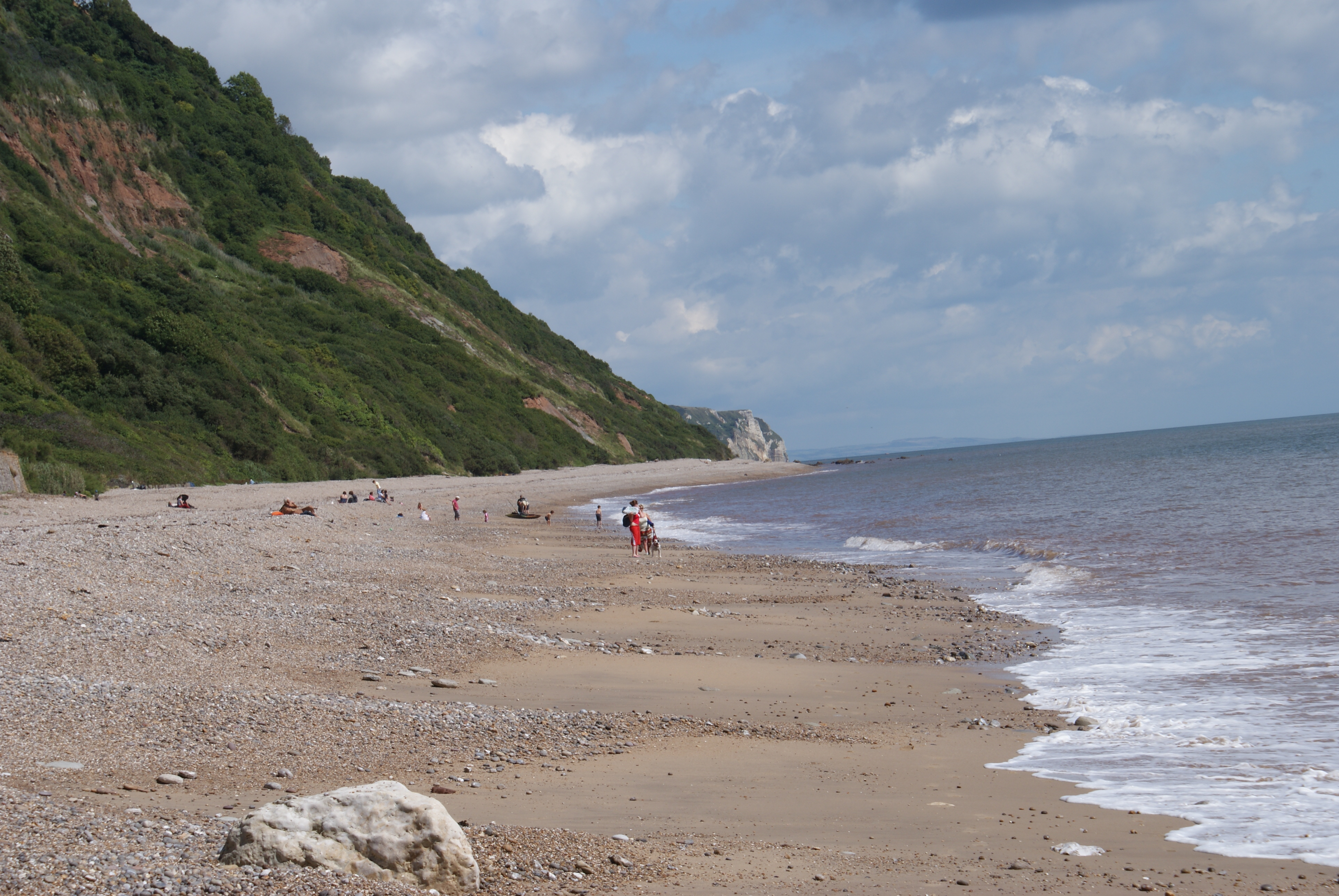
Higher House Coppice Images

Images are sourced within 2km of 50.701518/-3.1577082 or Grid Reference SY1889. Thanks to Geograph Open Source API. All images are credited.

Branscombe valley The valley north of the village, seen from Seller's Wood Hill (though the house is spelt "Sellars Wood"). Gay's Farm is on the other side of the valley, with Margell's Hill beyond.
Branscombe valley
The valley north of the village, seen from Seller's Wood Hill (though the house is spelt "Sellars Wood"). Gay's Farm is on the other side of the valley, with Margell's Hill beyond.
Alder Grove and Lower Watercombe Coppice Looking across the valley from Seller's Wood Hill.
Alder Grove and Lower Watercombe Coppice
Looking across the valley from Seller's Wood Hill.
Road to Woodhead
Road to Woodhead
Turning to Gay's farm
Oakdown Touring Park Oakdown Touring Park. Taken outside the Shepherd's Huts.
Oakdown Touring Park
Oakdown Touring Park. Taken outside the Shepherd's Huts.
Field and woods at Three Farm Seen from the upper deck of a bus
Field and woods at Three Farm
Seen from the upper deck of a bus
A3052 The A3052 Road runs 27 miles from Charnmouth to Clyst St Mary. It runs parallel to the East Devon coastline, but inland.
<span class="nowrap"><a title="http://www.sabre-roads.org.uk/wiki/index.php?title=A3052" rel="nofollow ugc noopener" href="http://www.sabre-roads.org.uk/wiki/index.php?title=A3052">Link</a><img style="margin-left:2px;" alt="External link" title="External link - shift click to open in new window" src="https://s1.geograph.org.uk/img/external.png" width="10" height="10"/></span>
A3052
The A3052 Road runs 27 miles from Charnmouth to Clyst St Mary. It runs parallel to the East Devon coastline, but inland. LinkExternal link
Ottery St Mary turning, A3052 The A3052 Road runs 27 miles from Charnmouth to Clyst St Mary. It runs parallel to the East Devon coastline, but inland.
<span class="nowrap"><a title="http://www.sabre-roads.org.uk/wiki/index.php?title=A3052" rel="nofollow ugc noopener" href="http://www.sabre-roads.org.uk/wiki/index.php?title=A3052">Link</a><img style="margin-left:2px;" alt="External link" title="External link - shift click to open in new window" src="https://s1.geograph.org.uk/img/external.png" width="10" height="10"/></span>
Ottery St Mary turning, A3052
The A3052 Road runs 27 miles from Charnmouth to Clyst St Mary. It runs parallel to the East Devon coastline, but inland. LinkExternal link
A3052, Branscombe Cross The A3052 Road runs 27 miles from Charnmouth to Clyst St Mary. It runs parallel to the East Devon coastline, but inland.
<span class="nowrap"><a title="http://www.sabre-roads.org.uk/wiki/index.php?title=A3052" rel="nofollow ugc noopener" href="http://www.sabre-roads.org.uk/wiki/index.php?title=A3052">Link</a><img style="margin-left:2px;" alt="External link" title="External link - shift click to open in new window" src="https://s1.geograph.org.uk/img/external.png" width="10" height="10"/></span>
A3052, Branscombe Cross
The A3052 Road runs 27 miles from Charnmouth to Clyst St Mary. It runs parallel to the East Devon coastline, but inland. LinkExternal link
A3052 The A3052 Road runs 27 miles from Charnmouth to Clyst St Mary. It runs parallel to the East Devon coastline, but inland.
<span class="nowrap"><a title="http://www.sabre-roads.org.uk/wiki/index.php?title=A3052" rel="nofollow ugc noopener" href="http://www.sabre-roads.org.uk/wiki/index.php?title=A3052">Link</a><img style="margin-left:2px;" alt="External link" title="External link - shift click to open in new window" src="https://s1.geograph.org.uk/img/external.png" width="10" height="10"/></span>
A3052
The A3052 Road runs 27 miles from Charnmouth to Clyst St Mary. It runs parallel to the East Devon coastline, but inland. LinkExternal link
Beechtree Lane heading for Branscombe Cross
Permissive path to the Donkey Sanctuary Described on a sign at the gate as "Oakdown's Field Trail", the path runs along this field edge towards the Donkey Sanctuary charity organisation in <a href="https://www.geograph.org.uk/gridref/SY1689">SY1689</a>
Permissive path to the Donkey Sanctuary
Described on a sign at the gate as "Oakdown's Field Trail", the path runs along this field edge towards the Donkey Sanctuary charity organisation in SY1689
Turning for Edge Farm
Branscombe Cross
Branscombe Cross
Driveway, Long Chimney
Path and stile leading to the A3052
Track down to Nine Acre Lane
Show me another place!

Higher House Coppice is located at Grid Ref: SY1889 (Lat: 50.701518, Lng: -3.1577082)

Administrative County: Devon

District: East Devon

Police Authority: Devon and Cornwall

What 3 Words

///talkers.parked.theory. Near Sidmouth, Devon

Related Wikis

Street, Devon

Street is a small village in the East Devon district of Devon, England. Its nearest town is Sidmouth, which lies approximately 4 miles (6.4 km) south-west...

Weston, Devon

Weston is a small hamlet near Sidmouth in East Devon, England. It is near the Donkey Sanctuary and less than a mile from the beach at Branscombe; footpaths...

St Winifred's Church, Branscombe

St Winifred's Church is a Church of England church in Branscombe in Devon, England. The church is dedicated to Saint Winifred, a Welsh saint. It is among...

The Old Bakery, Manor Mill & Forge

The Old Bakery, Manor Mill & Forge is a collection of buildings in Branscombe, Seaton, Devon, England. The property has been in the ownership of the National...

Berry Camp

Berry Camp or Berry Cliff, is an Iron Age Hill fort on a partially eroded cliff top close to Branscombe in Devon. The cliff is situated some 140 metres...

Branscombe

Branscombe is a village in the East Devon district of the English County of Devon. The parish covers 3,440 acres (1,390 ha). Its permanent population in...

The Donkey Sanctuary

The Donkey Sanctuary is a British charitable organisation devoted to the welfare of donkeys. The charity, which is based near Sidmouth in Devon, England...

Weston Mouth

Weston Mouth is an isolated beach on the East Devon coast between Sidmouth and Seaton in England. It can be reached only by footpath, either along the...

Nearby Amenities

Located within 500m of 50.701518,-3.1577082
Location Transition: yes
Power: pole
Source: bing
Lat/Long: 50.697647/-3.1547368
Location Transition: yes
Power: pole
Source: bing
Lat/Long: 50.6983431/-3.1569236
Power: pole
Source: bing
Lat/Long: 50.6985258/-3.1575252
Power: pole
Source: bing
Lat/Long: 50.698759/-3.1583274
Power: pole
Source: bing
Lat/Long: 50.7000814/-3.1639675
Power: pole
Source: bing
Lat/Long: 50.6991731/-3.1597258
Power: pole
Source: bing
Lat/Long: 50.6990008/-3.1612175
Power: pole
Source: bing
Lat/Long: 50.6988216/-3.1626901
Power: pole
Source: bing
Lat/Long: 50.702825/-3.1599319
Power: pole
Source: bing
Lat/Long: 50.7036472/-3.1604844
Power: pole
Source: bing
Lat/Long: 50.7047514/-3.1612596
The data included in this document is from www.openstreetmap.org. The data is made available under ODbL.

Have you been to Higher House Coppice?

Leave your review of Higher House Coppice below (or comments, questions and feedback).