Bath Plantation
Wood, Forest in Somerset Somerset West and Taunton
England
Bath Plantation
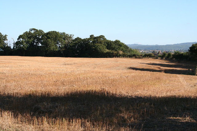
Bath Plantation, located in Somerset, England, is a picturesque woodland area known for its natural beauty and rich history. Situated just a few miles outside the historic city of Bath, the plantation covers an extensive area of over 500 hectares, making it one of the largest woodlands in the region.
The plantation is primarily composed of mixed deciduous trees, including oak, beech, and ash, creating a diverse and vibrant ecosystem. This variety of tree species provides habitat for a wide range of wildlife, including birds, mammals, and insects.
With its tranquil atmosphere and well-maintained trails, Bath Plantation is a popular destination for nature enthusiasts and hikers. The plantation offers a network of walking paths that wind through the woodland, allowing visitors to explore its scenic beauty at their own pace. Along the way, visitors may encounter enchanting bluebell carpets in the spring or enjoy the vibrant autumn colors during the fall.
In addition to its natural allure, Bath Plantation also boasts a fascinating historical background. The area was originally used as a hunting ground for the nobility during the medieval period, and remnants of ancient deer parks can still be found within the woodland. Today, these historical features add an extra layer of charm and intrigue to the plantation.
Overall, Bath Plantation provides a tranquil escape from the bustling city life of Bath, allowing visitors to immerse themselves in nature and experience the beauty of Somerset's woodlands.
If you have any feedback on the listing, please let us know in the comments section below.
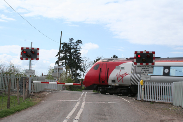
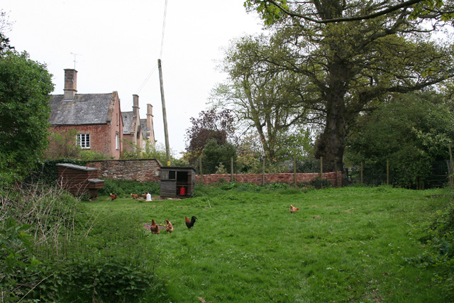
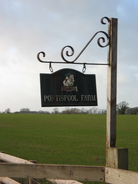
Bath Plantation Images
Images are sourced within 2km of 51.035152/-3.1657763 or Grid Reference ST1826. Thanks to Geograph Open Source API. All images are credited.


Bath Plantation is located at Grid Ref: ST1826 (Lat: 51.035152, Lng: -3.1657763)
Administrative County: Somerset
District: Somerset West and Taunton
Police Authority: Avon and Somerset
What 3 Words
///adults.vest.safety. Near Bishops Lydeard, Somerset
Nearby Locations
Related Wikis
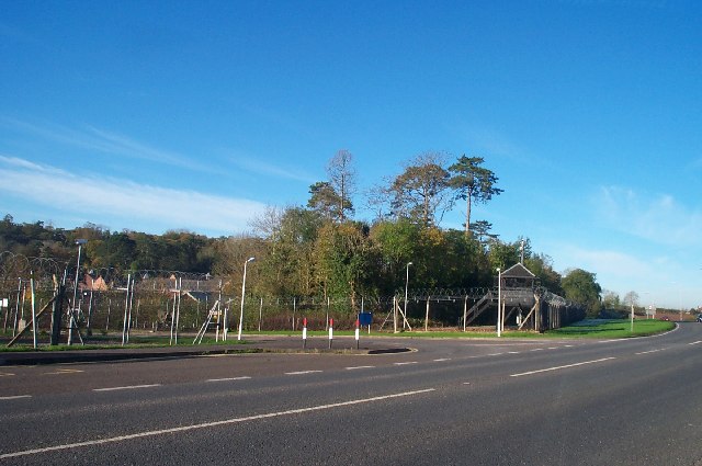
Norton Manor Camp
Norton Manor Camp, or RM Norton Manor, is a Royal Marines base located near Norton Fitzwarren, 2 miles (3.2 km) north west of Taunton, Somerset, in England...

40 Commando
40 Commando RM is a battalion-sized formation of the British Royal Marines and subordinate unit within 3 Commando Brigade, the principal Commando formation...
Norton Camp
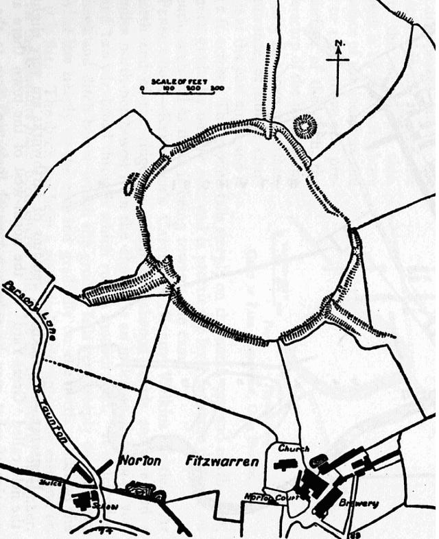
Norton Camp is a Bronze Age hill fort at Norton Fitzwarren near Taunton in Somerset, England. == Background == Hill forts developed in the Late Bronze...
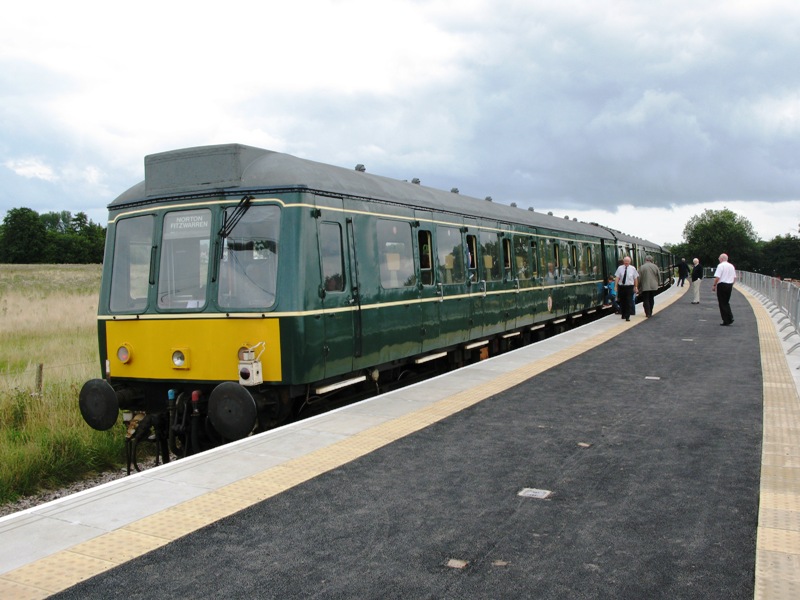
Norton Fitzwarren railway station
Norton Fitzwarren railway station is an untimetabled station on the West Somerset Railway in Somerset, England. It was built in 2009 about 1⁄4 mile (0...

Church of All Saints, Norton Fitzwarren
The Church of All Saints is an Anglican church in Norton Fitzwarren, Somerset, England, which dates from the late 13th or early 14th century. It is located...
Cotford St Luke
Cotford St Luke () is a village and civil parish in Somerset, England. It is located approximately 2 miles (3.2 km) northwest of Norton Fitzwarren and...
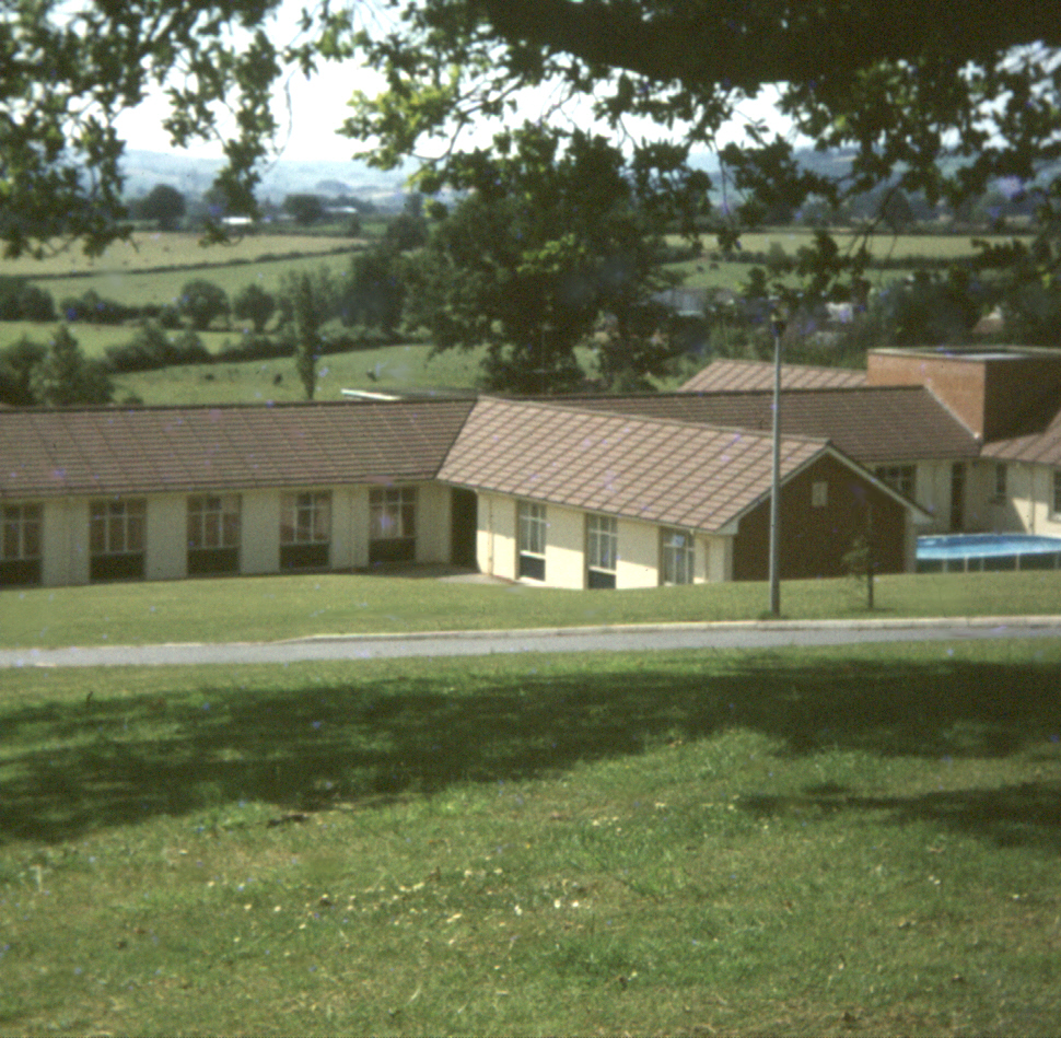
Merrifield Children's Unit
Merrifield Children's Unit (also known as Merryfield or colloquially as Merrifields) was a residential children's and adolescents' psychiatric institution...

Tone Vale Hospital
Tone Vale Hospital was a psychiatric hospital located approximately 3 kilometres (1.9 mi) to the north west of Norton Fitzwarren, near Taunton, Somerset...
Nearby Amenities
Located within 500m of 51.035152,-3.1657763Have you been to Bath Plantation?
Leave your review of Bath Plantation below (or comments, questions and feedback).