Taylor's Coppice

Wood, Forest in Devon East Devon

England

Taylor's Coppice

Branscombe valley The valley north of the village, seen from Seller's Wood Hill (though the house is spelt "Sellars Wood"). Gay's Farm is on the other side of the valley, with Margell's Hill beyond.
Branscombe valley Credit: Derek Harper

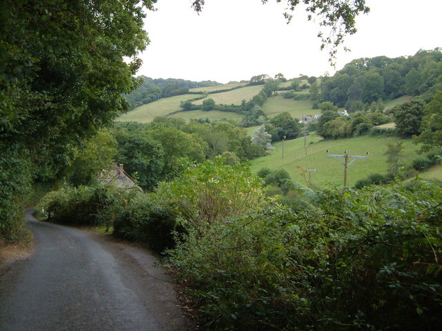
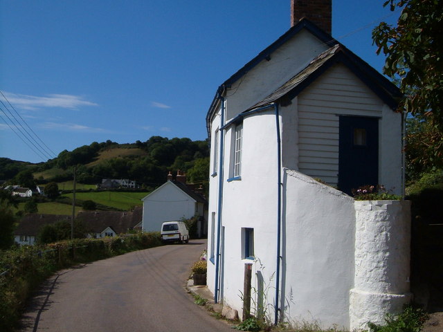
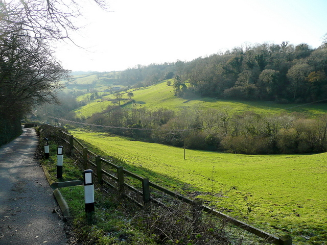
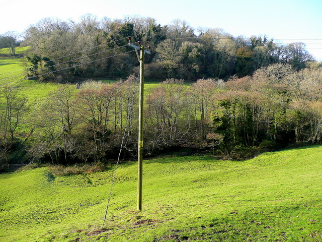
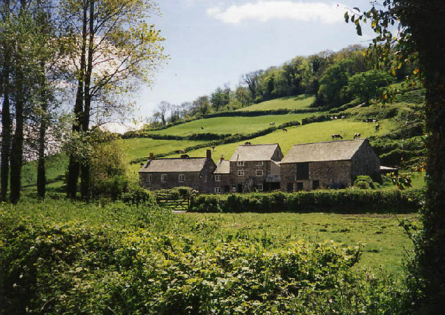
Taylor's Coppice is a picturesque woodland located in the county of Devon, England. Nestled in the heart of the countryside, this enchanting forest covers an area of approximately 50 acres, making it a haven for nature enthusiasts and outdoor enthusiasts alike.

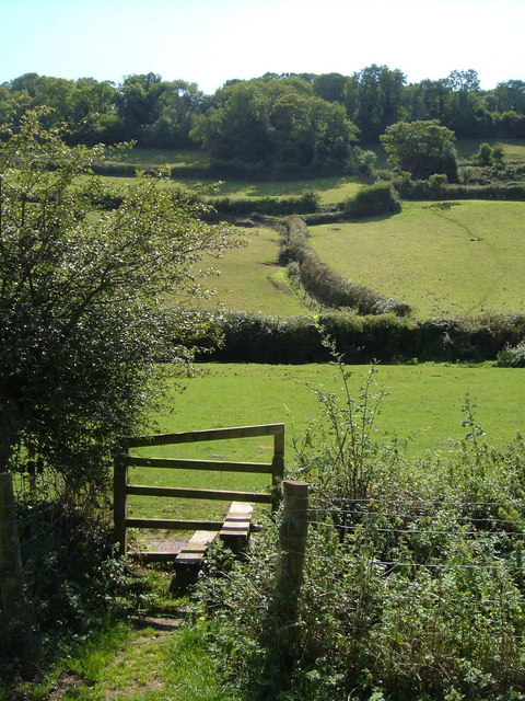
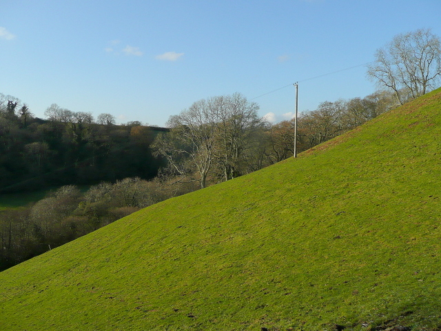
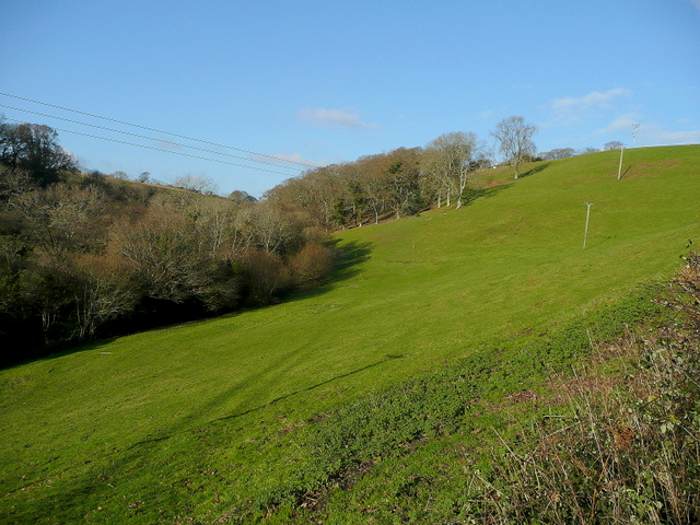
The coppice is characterized by its diverse range of native tree species, including oak, ash, beech, and birch. These towering trees create a dense canopy, casting dappled sunlight onto the forest floor below. The woodland is further adorned with an array of vibrant wildflowers, adding a splash of color to the landscape.

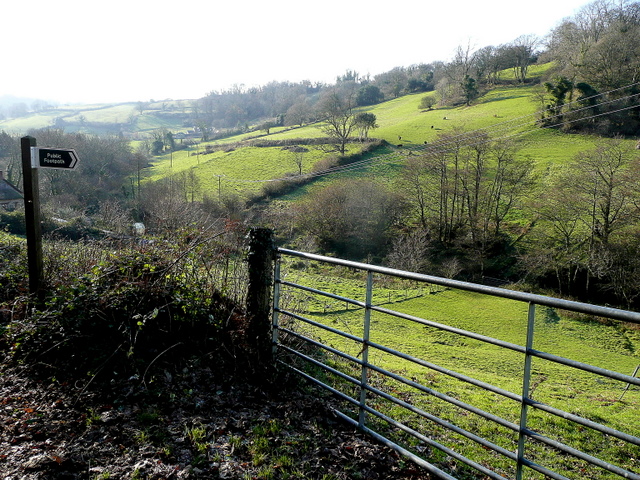
A network of well-maintained footpaths meanders through Taylor's Coppice, offering visitors the opportunity to explore the natural beauty of the area at their own pace. As they wander through the woodland, visitors may stumble upon hidden clearings and quiet glades, perfect for picnicking or simply enjoying the tranquility of the surroundings.

The forest is also home to a diverse range of wildlife, providing a sanctuary for various species. Birdwatchers may be lucky enough to spot woodpeckers, owls, and numerous other avian species, while keen-eyed observers may catch a glimpse of elusive mammals such as deer, foxes, and badgers.

Taylor's Coppice is a cherished local treasure, attracting visitors throughout the year. Whether one seeks a peaceful escape from the hustle and bustle of everyday life or a chance to immerse themselves in the natural wonders of Devon, this woodland sanctuary offers a truly rejuvenating experience.

If you have any feedback on the listing, please let us know in the comments section below.

Taylor's Coppice Images

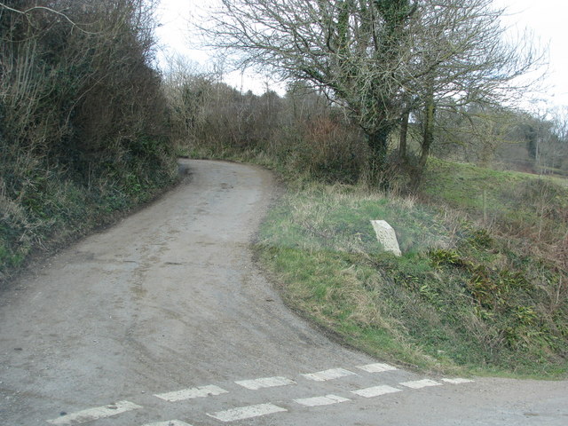
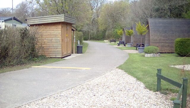
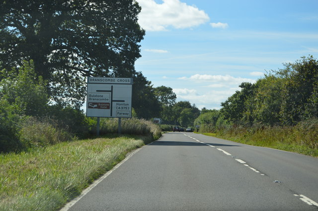
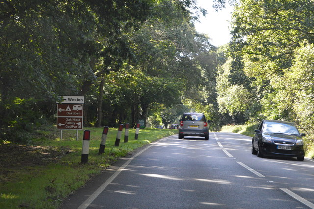
Images are sourced within 2km of 50.701217/-3.1563555 or Grid Reference SY1889. Thanks to Geograph Open Source API. All images are credited.

Branscombe valley The valley north of the village, seen from Seller's Wood Hill (though the house is spelt "Sellars Wood"). Gay's Farm is on the other side of the valley, with Margell's Hill beyond.
Branscombe valley
The valley north of the village, seen from Seller's Wood Hill (though the house is spelt "Sellars Wood"). Gay's Farm is on the other side of the valley, with Margell's Hill beyond.
Branscombe - The Bank The end of a terrace of cottages in the "Bridge" hamlet (Branscombe is made up of at least 4 hamlets scattered along this valley). In the background, out of square, are houses near the church, with the village school on the slopes of Clapp's Hill.
Branscombe - The Bank
The end of a terrace of cottages in the "Bridge" hamlet (Branscombe is made up of at least 4 hamlets scattered along this valley). In the background, out of square, are houses near the church, with the village school on the slopes of Clapp's Hill.
Hedges and fields at Branscombe A view from Branscombe Footpath 3 across the valley, with Mill Coppices on the hill ahead.
Hedges and fields at Branscombe
A view from Branscombe Footpath 3 across the valley, with Mill Coppices on the hill ahead.
Steep hillside west of Seller's Wood Hill Viewed from the road to Branscombe beach from Woodhead.
Steep hillside west of Seller's Wood Hill
Viewed from the road to Branscombe beach from Woodhead.
Watercombe valley Looking south, downhill, along Seller's Wood Hill leading towards Branscombe Beach.
Watercombe valley
Looking south, downhill, along Seller's Wood Hill leading towards Branscombe Beach.
Alder Grove and Lower Watercombe Coppice Looking across the valley from Seller's Wood Hill.
Alder Grove and Lower Watercombe Coppice
Looking across the valley from Seller's Wood Hill.
Footpath to Higher Watercombe East Devon scenery.
Footpath to Higher Watercombe
East Devon scenery.
Line of a footpath The path starting at <a href="https://www.geograph.org.uk/photo/1624735">SY2089 : Footpath to Higher Watercombe</a> follows the valley towards Higher Watercombe.
Line of a footpath
The path starting at SY2089 : Footpath to Higher Watercombe follows the valley towards Higher Watercombe.
Road to Woodhead
Road to Woodhead
Turning to Gay's farm
Oakdown Touring Park Oakdown Touring Park. Taken outside the Shepherd's Huts.
Oakdown Touring Park
Oakdown Touring Park. Taken outside the Shepherd's Huts.
Field and woods at Three Farm Seen from the upper deck of a bus
Field and woods at Three Farm
Seen from the upper deck of a bus
A3052 The A3052 Road runs 27 miles from Charnmouth to Clyst St Mary. It runs parallel to the East Devon coastline, but inland.
<span class="nowrap"><a title="http://www.sabre-roads.org.uk/wiki/index.php?title=A3052" rel="nofollow ugc noopener" href="http://www.sabre-roads.org.uk/wiki/index.php?title=A3052">Link</a><img style="margin-left:2px;" alt="External link" title="External link - shift click to open in new window" src="https://s1.geograph.org.uk/img/external.png" width="10" height="10"/></span>
A3052
The A3052 Road runs 27 miles from Charnmouth to Clyst St Mary. It runs parallel to the East Devon coastline, but inland. LinkExternal link
Ottery St Mary turning, A3052 The A3052 Road runs 27 miles from Charnmouth to Clyst St Mary. It runs parallel to the East Devon coastline, but inland.
<span class="nowrap"><a title="http://www.sabre-roads.org.uk/wiki/index.php?title=A3052" rel="nofollow ugc noopener" href="http://www.sabre-roads.org.uk/wiki/index.php?title=A3052">Link</a><img style="margin-left:2px;" alt="External link" title="External link - shift click to open in new window" src="https://s1.geograph.org.uk/img/external.png" width="10" height="10"/></span>
Ottery St Mary turning, A3052
The A3052 Road runs 27 miles from Charnmouth to Clyst St Mary. It runs parallel to the East Devon coastline, but inland. LinkExternal link
A3052, Branscombe Cross The A3052 Road runs 27 miles from Charnmouth to Clyst St Mary. It runs parallel to the East Devon coastline, but inland.
<span class="nowrap"><a title="http://www.sabre-roads.org.uk/wiki/index.php?title=A3052" rel="nofollow ugc noopener" href="http://www.sabre-roads.org.uk/wiki/index.php?title=A3052">Link</a><img style="margin-left:2px;" alt="External link" title="External link - shift click to open in new window" src="https://s1.geograph.org.uk/img/external.png" width="10" height="10"/></span>
A3052, Branscombe Cross
The A3052 Road runs 27 miles from Charnmouth to Clyst St Mary. It runs parallel to the East Devon coastline, but inland. LinkExternal link
A3052 The A3052 Road runs 27 miles from Charnmouth to Clyst St Mary. It runs parallel to the East Devon coastline, but inland.
<span class="nowrap"><a title="http://www.sabre-roads.org.uk/wiki/index.php?title=A3052" rel="nofollow ugc noopener" href="http://www.sabre-roads.org.uk/wiki/index.php?title=A3052">Link</a><img style="margin-left:2px;" alt="External link" title="External link - shift click to open in new window" src="https://s1.geograph.org.uk/img/external.png" width="10" height="10"/></span>
A3052
The A3052 Road runs 27 miles from Charnmouth to Clyst St Mary. It runs parallel to the East Devon coastline, but inland. LinkExternal link
Beechtree Lane heading for Branscombe Cross
Show me another place!

Taylor's Coppice is located at Grid Ref: SY1889 (Lat: 50.701217, Lng: -3.1563555)

Administrative County: Devon

District: East Devon

Police Authority: Devon and Cornwall

What 3 Words

///cheerily.arise.ejects. Near Sidmouth, Devon

Related Wikis

Street, Devon

Street is a small village in the East Devon district of Devon, England. Its nearest town is Sidmouth, which lies approximately 4 miles (6.4 km) south-west...

St Winifred's Church, Branscombe

St Winifred's Church is a Church of England church in Branscombe in Devon, England. The church is dedicated to Saint Winifred, a Welsh saint. It is among...

The Old Bakery, Manor Mill & Forge

The Old Bakery, Manor Mill & Forge is a collection of buildings in Branscombe, Seaton, Devon, England. The property has been in the ownership of the National...

Berry Camp

Berry Camp or Berry Cliff, is an Iron Age Hill fort on a partially eroded cliff top close to Branscombe in Devon. The cliff is situated some 140 metres...

Nearby Amenities

Located within 500m of 50.701217,-3.1563555
Location Transition: yes
Power: pole
Source: bing
Lat/Long: 50.697647/-3.1547368
Power: pole
Source: bing
Lat/Long: 50.6975452/-3.1542502
Location Transition: yes
Power: pole
Source: bing
Lat/Long: 50.6983431/-3.1569236
Power: pole
Source: bing
Lat/Long: 50.6985258/-3.1575252
Power: pole
Source: bing
Lat/Long: 50.698759/-3.1583274
Power: pole
Source: bing
Lat/Long: 50.6991731/-3.1597258
Power: pole
Source: bing
Lat/Long: 50.6990008/-3.1612175
Power: pole
Source: bing
Lat/Long: 50.702825/-3.1599319
Power: pole
Source: bing
Lat/Long: 50.7036472/-3.1604844
The data included in this document is from www.openstreetmap.org. The data is made available under ODbL.

Have you been to Taylor's Coppice?

Leave your review of Taylor's Coppice below (or comments, questions and feedback).