Lower Bulstone Coppice

Wood, Forest in Devon East Devon

England

Lower Bulstone Coppice

Branscombe valley The valley north of the village, seen from Seller's Wood Hill (though the house is spelt "Sellars Wood"). Gay's Farm is on the other side of the valley, with Margell's Hill beyond.
Branscombe valley Credit: Derek Harper

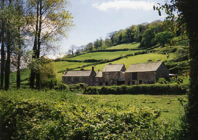
Lower Bulstone Coppice is a stunning woodland located in Devon, England. Covering an area of approximately 10 acres, it is situated near the small village of East Budleigh. This ancient coppice woodland has a rich and diverse ecosystem, making it a haven for wildlife and a popular destination for nature enthusiasts.

The woodland is predominantly composed of mature oak trees, with some beech, ash, and hazel trees interspersed throughout. The dense canopy provides shade and creates a cool and tranquil atmosphere, perfect for a peaceful walk or a picnic in nature. The forest floor is covered in a thick carpet of bluebells during the spring, creating a breathtaking sight and attracting visitors from near and far.

Lower Bulstone Coppice is home to a wide array of wildlife. Birdwatchers will be delighted to spot species such as woodpeckers, owls, and thrushes, while small mammals like squirrels, badgers, and foxes can also be spotted within the woodland. The coppice is also known to support a diverse range of insect species, including butterflies and beetles.

The woodland is accessible via well-maintained footpaths, allowing visitors to explore its beauty at their own pace. It is a popular spot for leisurely walks, photography, and nature study. The tranquil setting and natural beauty of Lower Bulstone Coppice make it an ideal location for those seeking a peaceful escape from the hustle and bustle of everyday life.

If you have any feedback on the listing, please let us know in the comments section below.

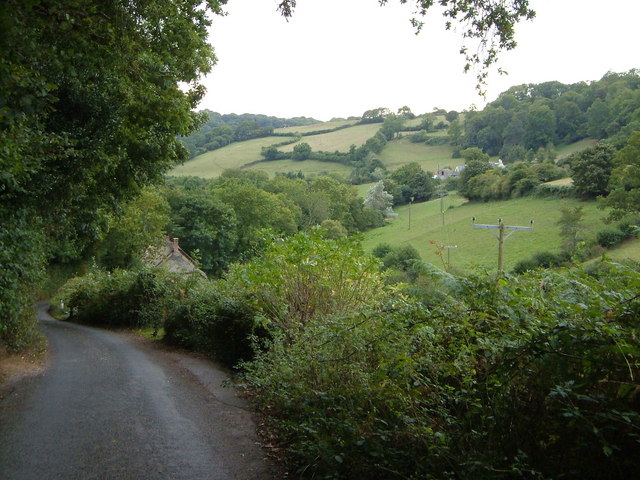
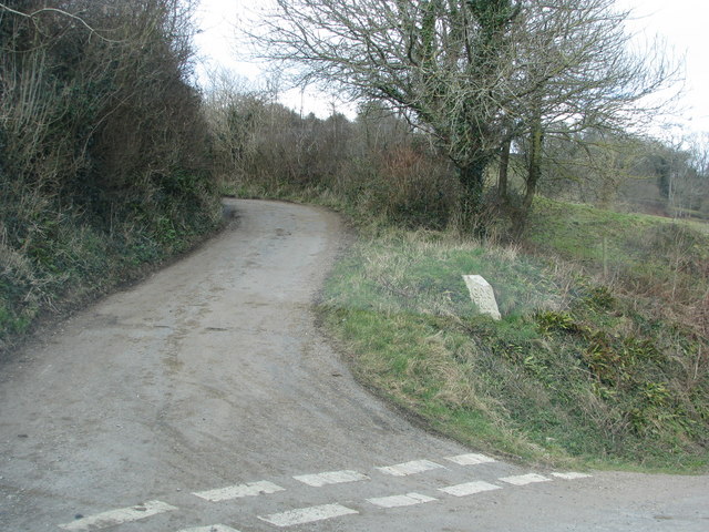
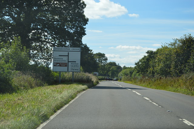
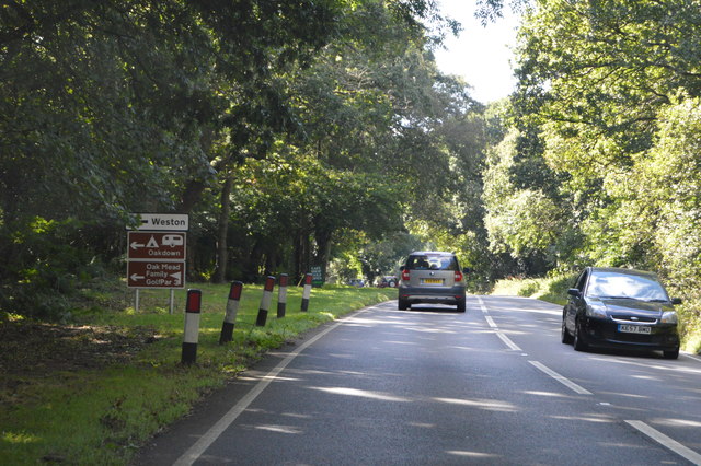
Lower Bulstone Coppice Images

Images are sourced within 2km of 50.700954/-3.1592661 or Grid Reference SY1889. Thanks to Geograph Open Source API. All images are credited.

Branscombe valley The valley north of the village, seen from Seller's Wood Hill (though the house is spelt "Sellars Wood"). Gay's Farm is on the other side of the valley, with Margell's Hill beyond.
Branscombe valley
The valley north of the village, seen from Seller's Wood Hill (though the house is spelt "Sellars Wood"). Gay's Farm is on the other side of the valley, with Margell's Hill beyond.
Turning to Gay's farm
Field and woods at Three Farm Seen from the upper deck of a bus
Field and woods at Three Farm
Seen from the upper deck of a bus
A3052 The A3052 Road runs 27 miles from Charnmouth to Clyst St Mary. It runs parallel to the East Devon coastline, but inland.
<span class="nowrap"><a title="http://www.sabre-roads.org.uk/wiki/index.php?title=A3052" rel="nofollow ugc noopener" href="http://www.sabre-roads.org.uk/wiki/index.php?title=A3052">Link</a><img style="margin-left:2px;" alt="External link" title="External link - shift click to open in new window" src="https://s1.geograph.org.uk/img/external.png" width="10" height="10"/></span>
A3052
The A3052 Road runs 27 miles from Charnmouth to Clyst St Mary. It runs parallel to the East Devon coastline, but inland. LinkExternal link
Ottery St Mary turning, A3052 The A3052 Road runs 27 miles from Charnmouth to Clyst St Mary. It runs parallel to the East Devon coastline, but inland.
<span class="nowrap"><a title="http://www.sabre-roads.org.uk/wiki/index.php?title=A3052" rel="nofollow ugc noopener" href="http://www.sabre-roads.org.uk/wiki/index.php?title=A3052">Link</a><img style="margin-left:2px;" alt="External link" title="External link - shift click to open in new window" src="https://s1.geograph.org.uk/img/external.png" width="10" height="10"/></span>
Ottery St Mary turning, A3052
The A3052 Road runs 27 miles from Charnmouth to Clyst St Mary. It runs parallel to the East Devon coastline, but inland. LinkExternal link
A3052, Branscombe Cross The A3052 Road runs 27 miles from Charnmouth to Clyst St Mary. It runs parallel to the East Devon coastline, but inland.
<span class="nowrap"><a title="http://www.sabre-roads.org.uk/wiki/index.php?title=A3052" rel="nofollow ugc noopener" href="http://www.sabre-roads.org.uk/wiki/index.php?title=A3052">Link</a><img style="margin-left:2px;" alt="External link" title="External link - shift click to open in new window" src="https://s1.geograph.org.uk/img/external.png" width="10" height="10"/></span>
A3052, Branscombe Cross
The A3052 Road runs 27 miles from Charnmouth to Clyst St Mary. It runs parallel to the East Devon coastline, but inland. LinkExternal link
A3052 The A3052 Road runs 27 miles from Charnmouth to Clyst St Mary. It runs parallel to the East Devon coastline, but inland.
<span class="nowrap"><a title="http://www.sabre-roads.org.uk/wiki/index.php?title=A3052" rel="nofollow ugc noopener" href="http://www.sabre-roads.org.uk/wiki/index.php?title=A3052">Link</a><img style="margin-left:2px;" alt="External link" title="External link - shift click to open in new window" src="https://s1.geograph.org.uk/img/external.png" width="10" height="10"/></span>
A3052
The A3052 Road runs 27 miles from Charnmouth to Clyst St Mary. It runs parallel to the East Devon coastline, but inland. LinkExternal link
Beechtree Lane heading for Branscombe Cross
Permissive path to the Donkey Sanctuary Described on a sign at the gate as "Oakdown's Field Trail", the path runs along this field edge towards the Donkey Sanctuary charity organisation in <a href="https://www.geograph.org.uk/gridref/SY1689">SY1689</a>
Permissive path to the Donkey Sanctuary
Described on a sign at the gate as "Oakdown's Field Trail", the path runs along this field edge towards the Donkey Sanctuary charity organisation in SY1689
Turning for Edge Farm
Branscombe Cross
Branscombe Cross
Driveway, Long Chimney
Path and stile leading to the A3052
Track down to Nine Acre Lane
Maize stubble
Maize stubble
View towards Rockenhayne
Housing development at 'Three Horseshoes'
Show me another place!

Lower Bulstone Coppice is located at Grid Ref: SY1889 (Lat: 50.700954, Lng: -3.1592661)

Administrative County: Devon

District: East Devon

Police Authority: Devon and Cornwall

What 3 Words

///unhappily.musically.fortunes. Near Sidmouth, Devon

Related Wikis

Street, Devon

Street is a small village in the East Devon district of Devon, England. Its nearest town is Sidmouth, which lies approximately 4 miles (6.4 km) south-west...

Weston, Devon

Weston is a small hamlet near Sidmouth in East Devon, England. It is near the Donkey Sanctuary and less than a mile from the beach at Branscombe; footpaths...

St Winifred's Church, Branscombe

St Winifred's Church is a Church of England church in Branscombe in Devon, England. The church is dedicated to Saint Winifred, a Welsh saint. It is among...

The Old Bakery, Manor Mill & Forge

The Old Bakery, Manor Mill & Forge is a collection of buildings in Branscombe, Seaton, Devon, England. The property has been in the ownership of the National...

Nearby Amenities

Located within 500m of 50.700954,-3.1592661
Generator Method: photovoltaic
Generator Output Electricity: yes
Generator Source: solar
Generator Type: solar_photovoltaic_panel
Location: roof
Power: generator
Lat/Long: 50.6988553/-3.1641584
Post Box
Operator: Royal Mail
Operator Wikidata: Q638098
Post Box Type: lamp
Ref: EX12 125
Royal Cypher: EIIR
Royal Cypher Wikidata: Q33102113
Lat/Long: 50.6985788/-3.1642838
Location Transition: yes
Power: pole
Source: bing
Lat/Long: 50.697647/-3.1547368
Location Transition: yes
Power: pole
Source: bing
Lat/Long: 50.6983431/-3.1569236
Power: pole
Source: bing
Lat/Long: 50.6985258/-3.1575252
Power: pole
Source: bing
Lat/Long: 50.698759/-3.1583274
Power: pole
Source: bing
Lat/Long: 50.7000814/-3.1639675
Power: pole
Source: bing
Lat/Long: 50.6991731/-3.1597258
Power: pole
Source: bing
Lat/Long: 50.6990008/-3.1612175
Power: pole
Source: bing
Lat/Long: 50.6988216/-3.1626901
Power: pole
Source: bing
Lat/Long: 50.6986511/-3.1642011
Power: pole
Source: bing
Lat/Long: 50.6986198/-3.1643824
Power: pole
Source: bing
Lat/Long: 50.702825/-3.1599319
Power: pole
Source: bing
Lat/Long: 50.7036472/-3.1604844
Power: pole
Source: bing
Lat/Long: 50.7047514/-3.1612596
The data included in this document is from www.openstreetmap.org. The data is made available under ODbL.

Have you been to Lower Bulstone Coppice?

Leave your review of Lower Bulstone Coppice below (or comments, questions and feedback).