Bank Wood

Wood, Forest in Cumberland Copeland

England

Bank Wood
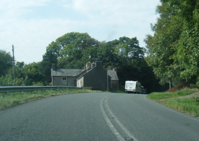
A595 at Buckman Brow
A595 at Buckman Brow Credit: Colin Pyle

Bank Wood is a picturesque woodland located in the county of Cumberland, England. Situated near the village of Bank, it covers an area of approximately 100 acres and is a popular destination for nature enthusiasts and hikers alike.

The wood is predominantly made up of native broadleaf trees such as oak, ash, beech, and birch, creating a diverse and vibrant ecosystem. The dense canopy provides a haven for a wide range of wildlife, including various species of birds, mammals, and insects.

Traversing through Bank Wood, visitors will find a network of well-maintained footpaths that wind their way through the woodland, offering stunning views of the surrounding countryside. The paths are suitable for all levels of walkers, from leisurely strolls to more challenging hikes.

In addition to its natural beauty, Bank Wood also holds historical significance. It was once part of a larger forest that covered much of the area, and remnants of ancient woodland can still be found within its boundaries. These ancient trees provide a glimpse into the past and add an air of mystery to the wood.

Bank Wood is a tranquil and peaceful place, offering visitors a chance to escape the hustle and bustle of everyday life and connect with nature. Whether it's exploring the woodland trails, birdwatching, or simply enjoying a picnic amidst the serene surroundings, Bank Wood is a delightful destination for those seeking solace in nature.

If you have any feedback on the listing, please let us know in the comments section below.

Bank Wood Images

Images are sourced within 2km of 54.277116/-3.2583799 or Grid Reference SD1887. Thanks to Geograph Open Source API. All images are credited.
A595 at Buckman Brow
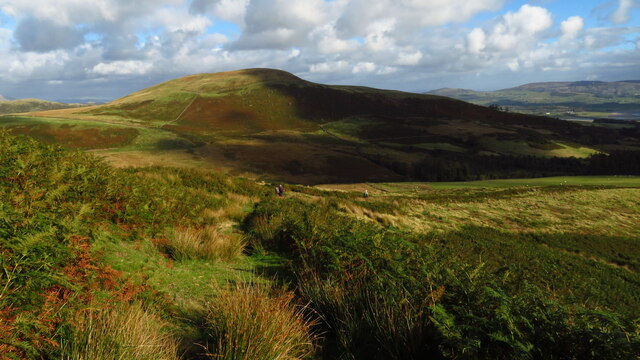
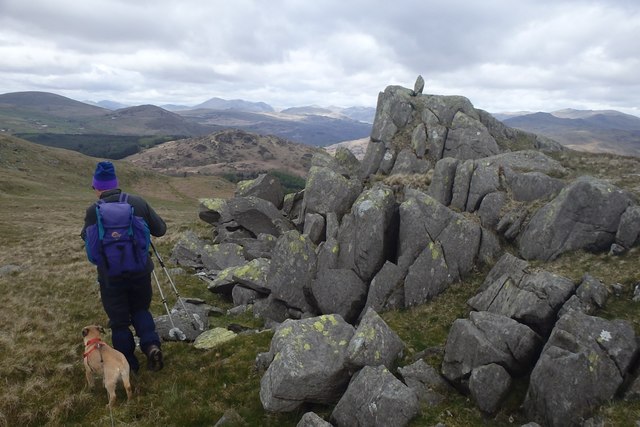
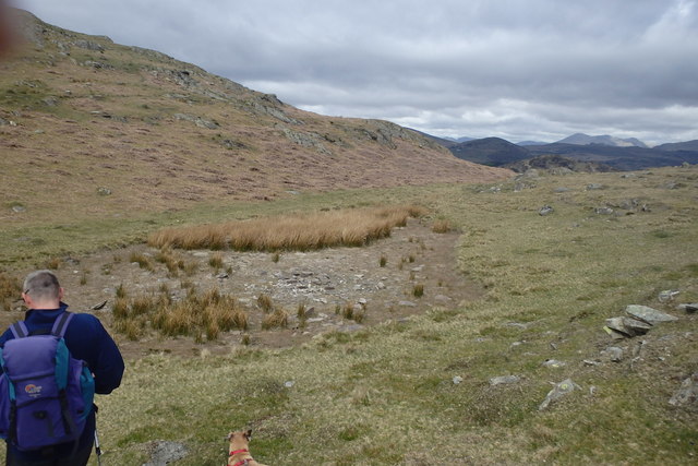
Descending on path below Grey Stones - view towards Knott Hill
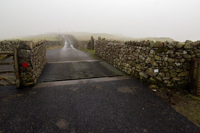
Cattle Grid
Cattle Grid
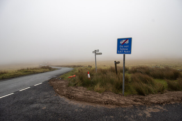
Road Junction
Road Junction
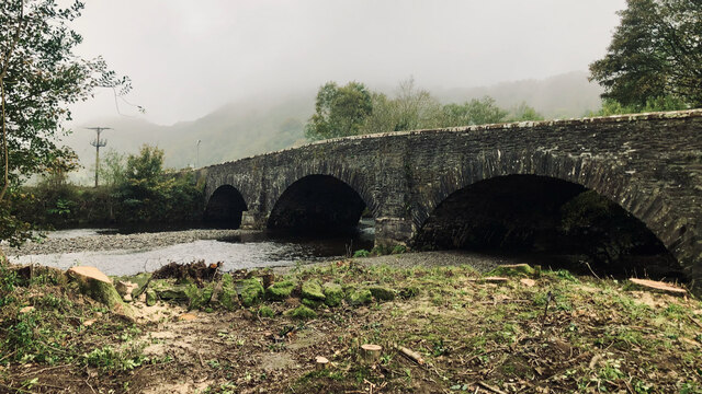
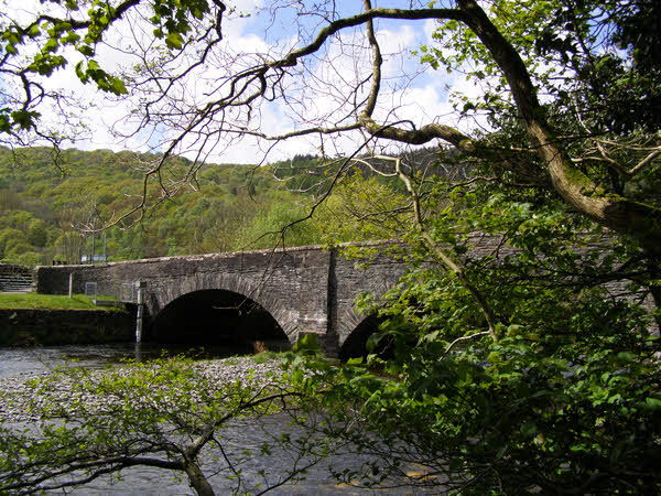
Recent felling on Coops Wood has opened up a view of the bridge over the Duddon
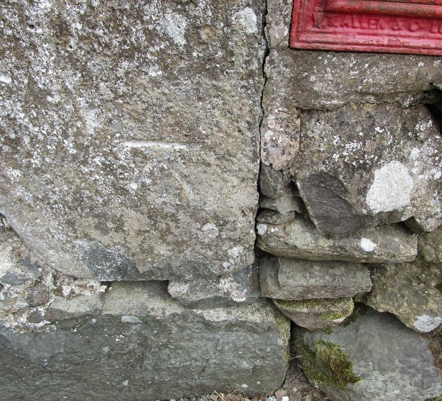
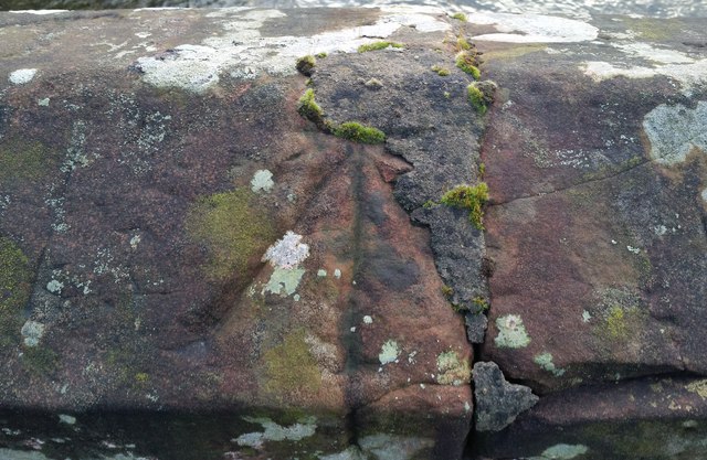
Ordnance Survey Cut Mark This OS cut mark can be found adjacent to the letter box at Broadgate. It marks a point 107.274m above mean sea level.
Ordnance Survey Cut Mark
This OS cut mark can be found adjacent to the letter box at Broadgate. It marks a point 107.274m above mean sea level.
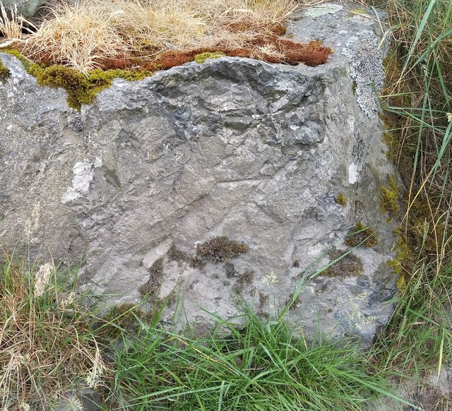
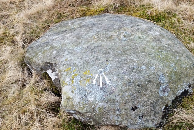
Ordnance Survey Cut Mark This OS cut mark can be found on a large rock to the west of the track.
Ordnance Survey Cut Mark
This OS cut mark can be found on a large rock to the west of the track.
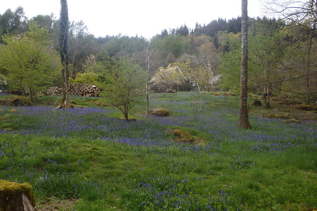
Bluebells, Furnace Wood In deepest Duddon
Bluebells, Furnace Wood
In deepest Duddon
Dry Tarn, Barrow The drought has dried up this tiny tarn. I suspect it is the same as <a href="https://www.geograph.org.uk/photo/3741119">SD1888 : Small tarn on Barrow</a>
Dry Tarn, Barrow
The drought has dried up this tiny tarn. I suspect it is the same as SD1888 : Small tarn on Barrow
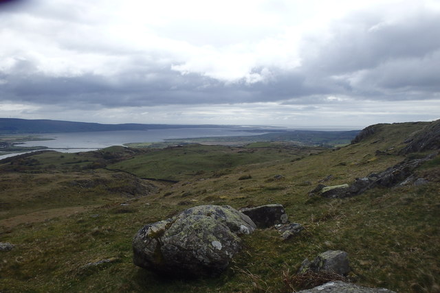
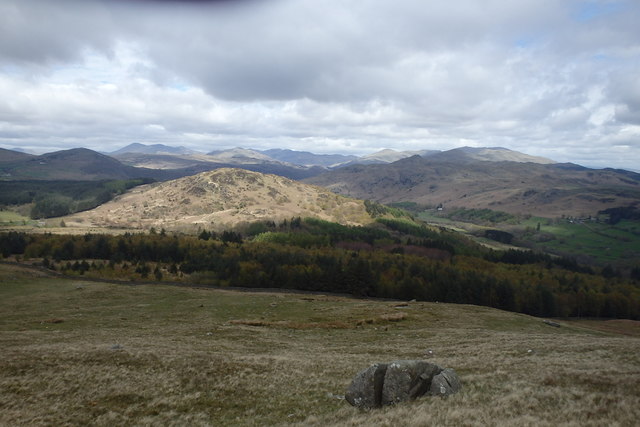
Ascending Barrow Looking towards the Duddon estuary
Ascending Barrow
Looking towards the Duddon estuary
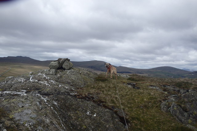
On Barrow A rarely frequented top
On Barrow
A rarely frequented top
On Barrow Looks like the top
On Barrow
Looks like the top
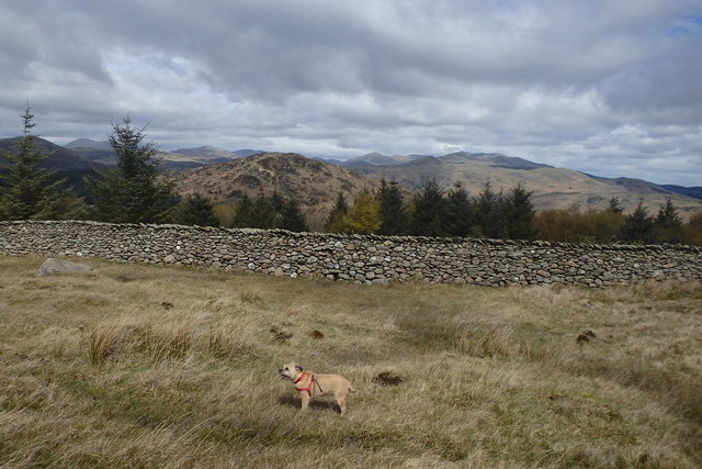
Descending Barrow Penn, our next objective in shot
Descending Barrow
Penn, our next objective in shot
Forest Edge Under Barrow
Forest Edge
Under Barrow
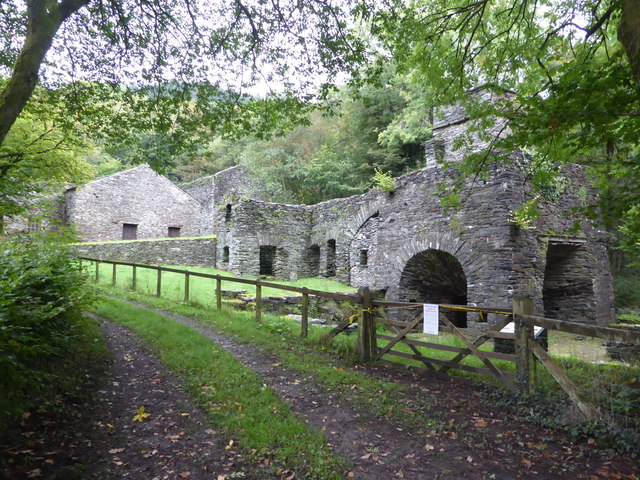
Duddon iron furnace (disused) A charcoal burning blast furnace dating from 1736. Isaac Wilkinson's cylinder bellows powered by water were first applied here. It is a Scheduled Ancient Monument but is temporarily closed to the public while structural issues are considered. There is a good view from the bridleway that goes past the site.
Duddon iron furnace (disused)
A charcoal burning blast furnace dating from 1736. Isaac Wilkinson's cylinder bellows powered by water were first applied here. It is a Scheduled Ancient Monument but is temporarily closed to the public while structural issues are considered. There is a good view from the bridleway that goes past the site.
Pivot type mark This Pivot style mark can be found on the SE parapet of the bridge.
Pivot type mark
This Pivot style mark can be found on the SE parapet of the bridge.
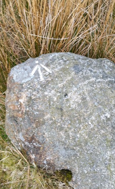
Ordnance Survey Pivot This OS pivot can be found on a boulder SE side of the road. It marks a point 219.054m above mean sea level.
Ordnance Survey Pivot
This OS pivot can be found on a boulder SE side of the road. It marks a point 219.054m above mean sea level.
Ordnance Survey Pivot This OS pivot can be found on a boulder south side of the road. It marks a point 236.973m above mean sea level.
Ordnance Survey Pivot
This OS pivot can be found on a boulder south side of the road. It marks a point 236.973m above mean sea level.
Show me another place!

Bank Wood is located at Grid Ref: SD1887 (Lat: 54.277116, Lng: -3.2583799)

Administrative County: Cumbria

District: Copeland

Police Authority: Cumbria

What 3 Words

///fists.bright.stage. Near Millom, Cumbria

Related Wikis

Nearby Amenities

Located within 500m of 54.277116,-3.2583799
Power: pole
Lat/Long: 54.2732306/-3.2564823
Power: pole
Lat/Long: 54.2741232/-3.2570909
Power: pole
Lat/Long: 54.2748217/-3.2575958
Power: pole
Lat/Long: 54.2757769/-3.2582502
Power: pole
Lat/Long: 54.2766479/-3.2588694
Power: pole
Lat/Long: 54.2773361/-3.2589152
Power: pole
Lat/Long: 54.2781506/-3.2589556
Power: pole
Lat/Long: 54.2790832/-3.2589891
Power: pole
Lat/Long: 54.2797446/-3.2590154
Power: pole
Lat/Long: 54.2798873/-3.25999
Power: pole
Lat/Long: 54.2802129/-3.2619005
Power: pole
Lat/Long: 54.2811105/-3.2592072
The data included in this document is from www.openstreetmap.org. The data is made available under ODbL.

Have you been to Bank Wood?

Leave your review of Bank Wood below (or comments, questions and feedback).