Round Wood
Wood, Forest in Somerset Somerset West and Taunton
England
Round Wood

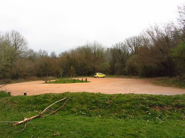
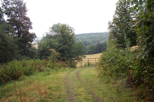
Round Wood is a picturesque woodland located in Somerset, England. Situated on the outskirts of the village of Round Wood, it covers an area of approximately 100 acres. The woodland is part of a larger forested area, known as the Round Wood Forest, which spans over 500 acres.
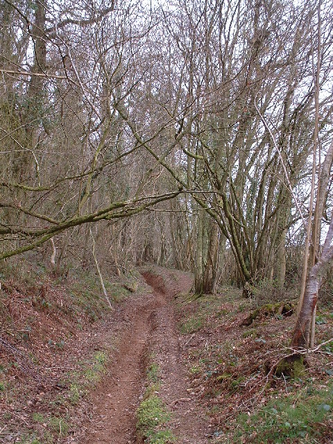
The wood is predominantly comprised of broadleaf trees, such as oak, ash, beech, and birch, creating a stunning and diverse landscape. The canopies of these trees provide a dense cover, allowing only dappled sunlight to filter through, adding to the enchanting atmosphere of the woodland.
Round Wood is home to a rich variety of wildlife, making it a popular destination for nature lovers and birdwatchers. The woodland provides a habitat for numerous species of birds, including woodpeckers, owls, and various songbirds. Additionally, it is not uncommon to spot deer, foxes, badgers, and squirrels roaming freely through the forest.
The wood offers a network of well-maintained trails, allowing visitors to explore its beauty on foot. These paths wind through the trees, leading to secluded glades, tranquil ponds, and hidden clearings. There are also designated picnic areas, where visitors can relax and enjoy the peaceful surroundings.
Round Wood is managed by a team of conservationists who prioritize the preservation of its natural beauty and biodiversity. They actively work to maintain a healthy ecosystem by managing the woodland's flora and fauna and ensuring the sustainability of its resources.
Overall, Round Wood in Somerset is a captivating forested area that offers a serene escape from the hustle and bustle of everyday life. Its stunning scenery, abundant wildlife, and well-maintained trails make it an ideal destination for nature enthusiasts and those seeking tranquility in a natural setting.
If you have any feedback on the listing, please let us know in the comments section below.
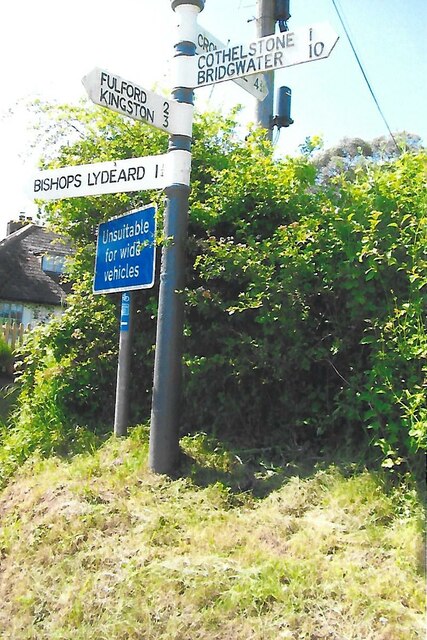
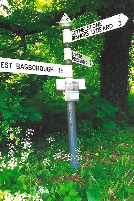
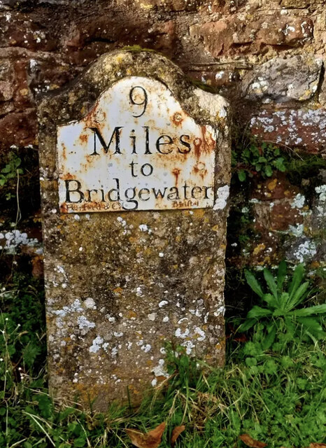
Round Wood Images
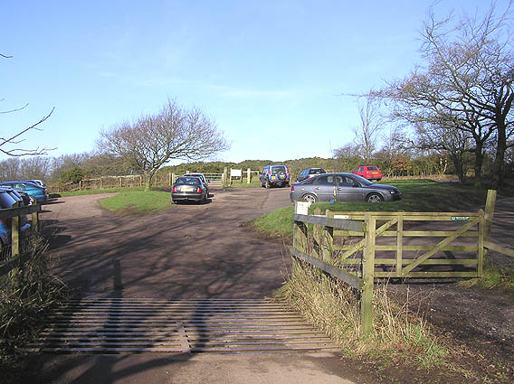
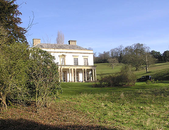
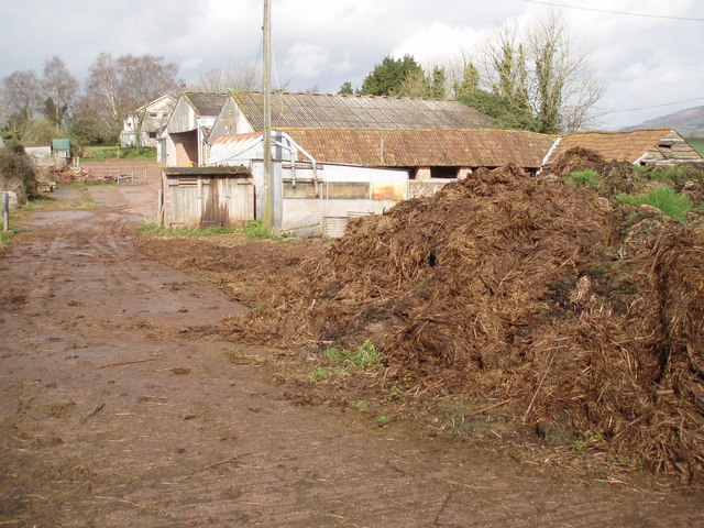
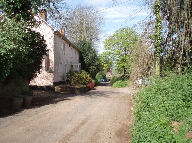
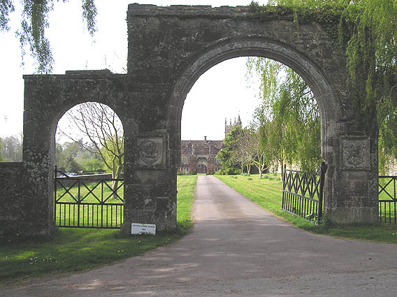
Images are sourced within 2km of 51.085164/-3.1698317 or Grid Reference ST1832. Thanks to Geograph Open Source API. All images are credited.


Round Wood is located at Grid Ref: ST1832 (Lat: 51.085164, Lng: -3.1698317)
Administrative County: Somerset
District: Somerset West and Taunton
Police Authority: Avon and Somerset
What 3 Words
///famed.bloom.directors. Near Bishops Lydeard, Somerset
Nearby Locations
Related Wikis
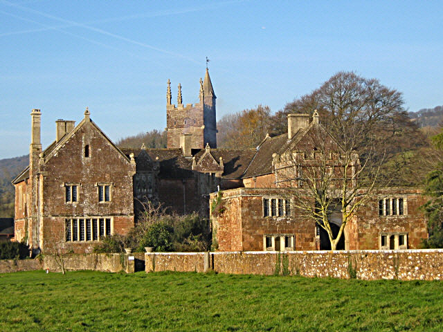
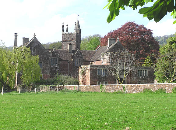
Cothelstone Manor
Cothelstone Manor in Cothelstone, Somerset, England was built in the mid-16th century, largely demolished by the parliamentary troops in 1646 and rebuilt...

West Bagborough Hoard
The West Bagborough Hoard is a hoard of 670 Roman coins and 72 pieces of hacksilver found in October 2001 by metal detectorist James Hawkesworth near...

Cothelstone
Cothelstone is a village and civil parish in Somerset, England, situated in the Quantock Hills six miles north of Taunton. The parish, which includes the...

Seven Sisters (Quantock Hills)
The Seven Sisters is a clump of beech trees on Cothelstone Hill in the Quantock Hills, England. Originally planted in the 18th century, they form a well...
Nearby Amenities
Located within 500m of 51.085164,-3.1698317Have you been to Round Wood?
Leave your review of Round Wood below (or comments, questions and feedback).