Cothelstone Hill

Hill, Mountain in Somerset Somerset West and Taunton

England

Cothelstone Hill

Sheep and Buncombe Wood The southern end of the Quantock Hills.
Sheep and Buncombe Wood Credit: Barbara Cook

Cothelstone Hill is a prominent landmark located in Somerset, England. It is part of the Quantock Hills, a range of hills designated as an Area of Outstanding Natural Beauty. Rising to an elevation of 208 meters (682 feet), Cothelstone Hill is considered the highest point in the Quantock Hills and offers breathtaking panoramic views of the surrounding countryside.

The hill is characterized by its heathland and woodland habitats, which are home to a diverse range of flora and fauna. Visitors can explore the hill's extensive network of footpaths and enjoy the tranquility of the natural surroundings. The area is particularly renowned for its abundance of heather, which blooms in vibrant shades of purple during the summer months.

At the summit of Cothelstone Hill stands a distinctive tower known as Cothelstone Beacon. Built in 1775 as a navigation aid for ships navigating the Bristol Channel, the tower has become an iconic landmark in the region. The beacon was used to relay signals during times of danger, such as the threat of invasion. Today, the tower serves as a popular destination for hikers and history enthusiasts.

Cothelstone Hill also holds historical significance, with evidence of human habitation dating back to prehistoric times. Archaeological findings suggest that the area was once used for farming and livestock grazing. The hill has been lovingly preserved and is now managed by a local conservation organization, ensuring that future generations can continue to enjoy its natural beauty and rich history.

If you have any feedback on the listing, please let us know in the comments section below.

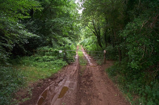
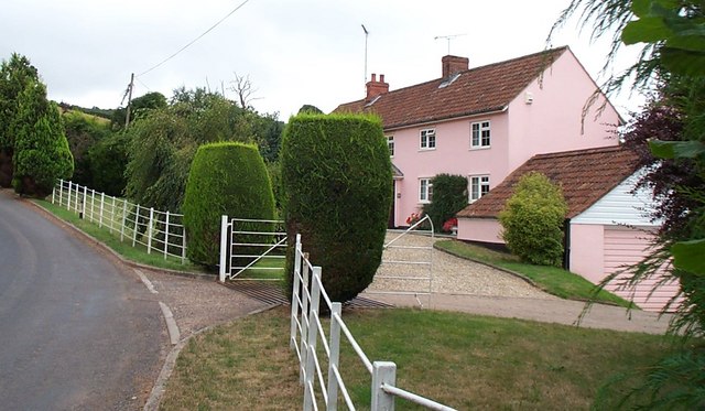
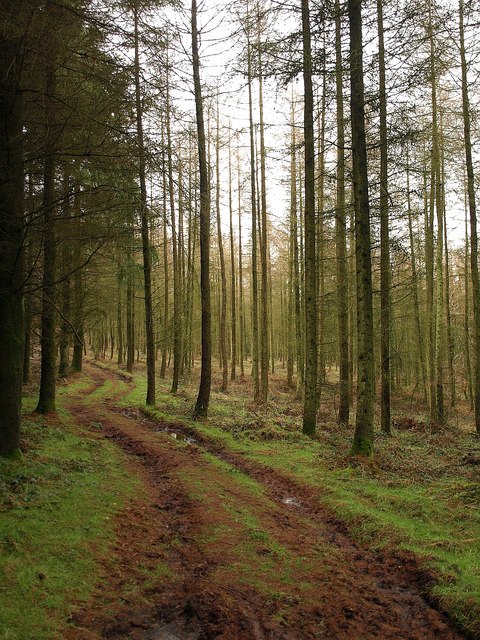
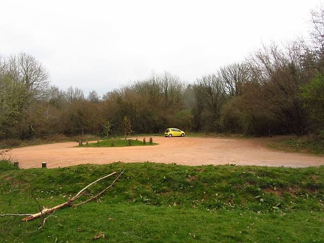
Cothelstone Hill Images

Images are sourced within 2km of 51.087691/-3.1580731 or Grid Reference ST1832. Thanks to Geograph Open Source API. All images are credited.

Sheep and Buncombe Wood The southern end of the Quantock Hills.
Sheep and Buncombe Wood
The southern end of the Quantock Hills.
Muddy track at Buncombe Wood Also a public right of way.
Muddy track at Buncombe Wood
Also a public right of way.
Cottage at Courtway This cottage lies on the south eastern edge of the Quantocks but only about five miles north of Taunton.
Cottage at Courtway
This cottage lies on the south eastern edge of the Quantocks but only about five miles north of Taunton.
Quiet valley in the Quantocks
Footpath in Buncombe Wood Broomfield footpath 3, which has climbed very steeply out of the head of the Kingston Stream valley, runs almost level through conifer woodland towards the Merridge Hill / Buncombe -  Cothelstone county road.
Footpath in Buncombe Wood
Broomfield footpath 3, which has climbed very steeply out of the head of the Kingston Stream valley, runs almost level through conifer woodland towards the Merridge Hill / Buncombe - Cothelstone county road.
The Pines cafe A spot for refreshments at a little col in the eastern Quantocks. Seen from the lane approaching from Broomfield. The principal road runs along a ridge between Enmore and Cothelstone Hill. Roads drop on either side to Kingston St Mary (left) and Nether Stowey (right).
The Pines cafe
A spot for refreshments at a little col in the eastern Quantocks. Seen from the lane approaching from Broomfield. The principal road runs along a ridge between Enmore and Cothelstone Hill. Roads drop on either side to Kingston St Mary (left) and Nether Stowey (right).
Approaching the junction at Pines Café
Junction at the Pines Café
Lambridge Farm The buildings to the left of the farmhouse in the valley bottom are in <a href="https://www.geograph.org.uk/gridref/SS1933">SS1933</a>. Beyond is Bishpool Farm, in <a href="https://www.geograph.org.uk/gridref/ST1934">ST1934</a>. Taken from the Samaritans Way South West as it follows Bridleway BW 30/30.
Lambridge Farm
The buildings to the left of the farmhouse in the valley bottom are in SS1933. Beyond is Bishpool Farm, in ST1934. Taken from the Samaritans Way South West as it follows Bridleway BW 30/30.
Field north of Buncombe Wood A field on the upper slopes of the Quantocks, with woods on either side of it. Buncombe Wood is ahead on the crest of the hills. View from the Samaritans Way South West as it follows Bridleway BW 30/30.
Field north of Buncombe Wood
A field on the upper slopes of the Quantocks, with woods on either side of it. Buncombe Wood is ahead on the crest of the hills. View from the Samaritans Way South West as it follows Bridleway BW 30/30.
Manor Farm Two farms sit on opposite sides of this lane at the head of a valley (shown in <a href="https://www.geograph.org.uk/photo/1077104">ST2033 : Quiet valley in the Quantocks</a>) that descends the Quantocks to Courtway. This is Manor Farm; on the right side is Waterpits Farm.
Manor Farm
Two farms sit on opposite sides of this lane at the head of a valley (shown in ST2033 : Quiet valley in the Quantocks) that descends the Quantocks to Courtway. This is Manor Farm; on the right side is Waterpits Farm.
Manor Farm A view from the other side of <a href="https://www.geograph.org.uk/photo/1828387">ST2033 : Manor Farm</a>; the lane dips across the valley, linking The Travellers Rest with Three Horseshoes Hill.
Manor Farm
A view from the other side of ST2033 : Manor Farm; the lane dips across the valley, linking The Travellers Rest with Three Horseshoes Hill.
Junction, Courtway On the right is the George V postbox number TA5 80. This is on the side of the former post office at the junction of the lane from Merridge with the road down the valley to Lower Aisholt.
Junction, Courtway
On the right is the George V postbox number TA5 80. This is on the side of the former post office at the junction of the lane from Merridge with the road down the valley to Lower Aisholt.
Lane to Lambridge Farm The no through lane from Courtway runs along the valley side, with a small conifer plantation ahead.
Lane to Lambridge Farm
The no through lane from Courtway runs along the valley side, with a small conifer plantation ahead.
The Pines Cafe, Timbercombe
House, at Courtway
House, at Courtway
Woodland, Broomfield Hill The strip of deciduous woodland between the road and grassland summit area of Broomfield Hill.
Woodland, Broomfield Hill
The strip of deciduous woodland between the road and grassland summit area of Broomfield Hill.
Car park, Cothelstone Hill A good path leads up to the summit from here.
Car park, Cothelstone Hill
A good path leads up to the summit from here.
Show me another place!

Cothelstone Hill is located at Grid Ref: ST1832 (Lat: 51.087691, Lng: -3.1580731)

Administrative County: Somerset

District: Somerset West and Taunton

Police Authority: Avon and Somerset

What 3 Words

///quoted.viewing.truckload. Near Bishops Lydeard, Somerset

Related Wikis

Seven Sisters (Quantock Hills)

The Seven Sisters is a clump of beech trees on Cothelstone Hill in the Quantock Hills, England. Originally planted in the 18th century, they form a well...
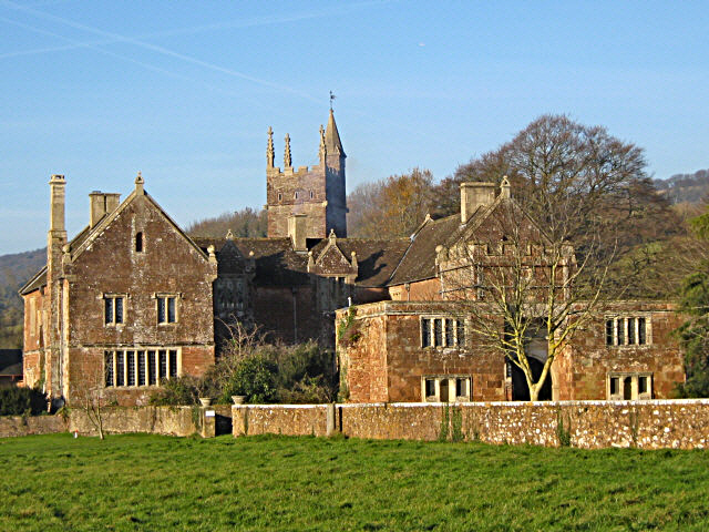
Cothelstone Manor

Cothelstone Manor in Cothelstone, Somerset, England was built in the mid-16th century, largely demolished by the parliamentary troops in 1646 and rebuilt...

Cothelstone

Cothelstone is a village and civil parish in Somerset, England, situated in the Quantock Hills six miles north of Taunton. The parish, which includes the...

West Bagborough Hoard

The West Bagborough Hoard is a hoard of 670 Roman coins and 72 pieces of hacksilver found in October 2001 by metal detectorist James Hawkesworth near...

West Bagborough

West Bagborough is a village and civil parish in Somerset, England, about 5 miles (8.0 km) north of Taunton. In 2011, the village had a population of 358...

Bagborough House

Bagborough House in West Bagborough, Somerset, England was built circa 1730. It was designated a Grade II* listed building on 4 May 1984.Bagborough House...

Church of St Pancras, West Bagborough

The Anglican Church of St Pancras in West Bagborough, Somerset, England was built in the 15th century. It is a Grade II* listed building. == History... ==

Broomfield Camp

Broomfield Camp (which is also known as Higher Castles enclosure) is a univallate Iron Age hill fort in the Taunton Deane district of Somerset, England...

Nearby Amenities

Located within 500m of 51.087691,-3.1580731
Cothelstone Hill
Ele: 332
Natural: peak
Note: 1088 Feet on NPE Map convert to 332m
Lat/Long: 51.0875897/-3.1576938
Park End
Junction: yes
Lat/Long: 51.0911002/-3.1592642
Historic: monument
Lat/Long: 51.087476/-3.1593594
The data included in this document is from www.openstreetmap.org. The data is made available under ODbL.

Have you been to Cothelstone Hill?

Leave your review of Cothelstone Hill below (or comments, questions and feedback).