Abernethy Hill
Hill, Mountain in Perthshire
Scotland
Abernethy Hill
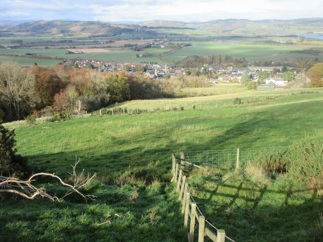
Abernethy Hill, located in Perthshire, Scotland, is a picturesque mountain that stands at an elevation of approximately 725 meters (2,379 feet). Situated in the southern region of the Cairngorms National Park, Abernethy Hill is a prominent landmark in the area, attracting both hikers and nature enthusiasts.
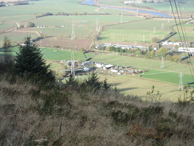
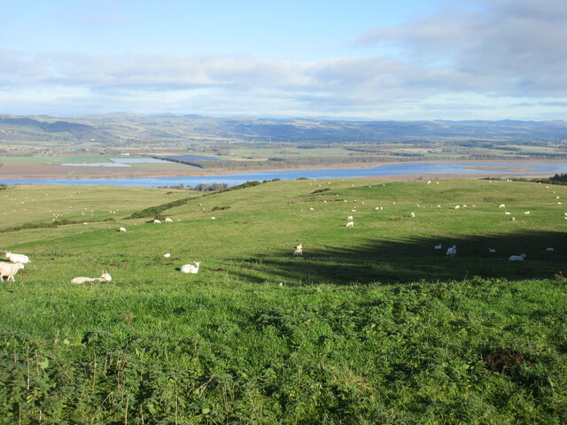
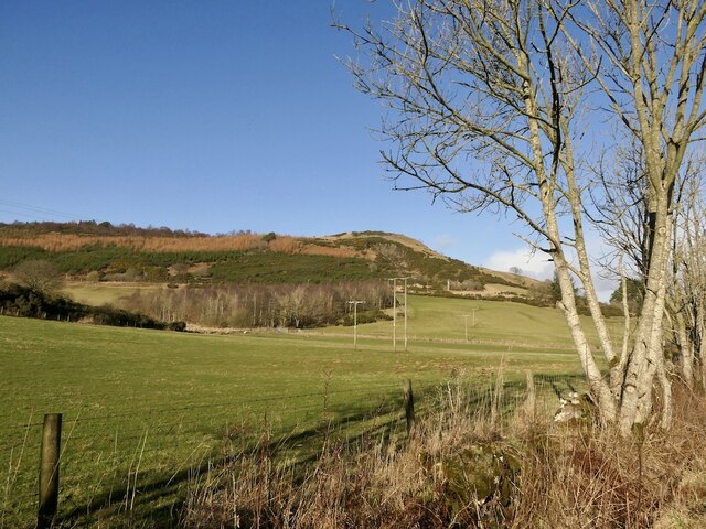
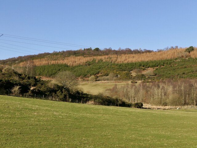
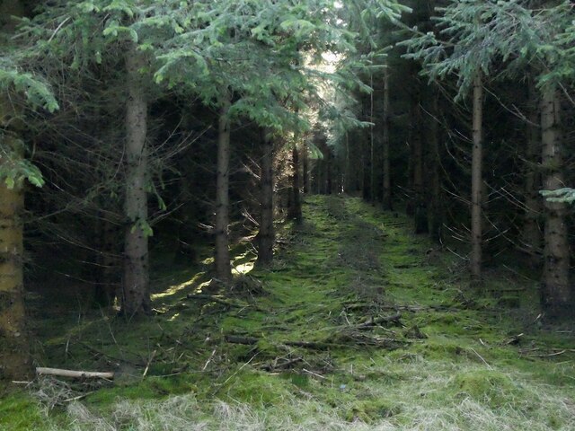
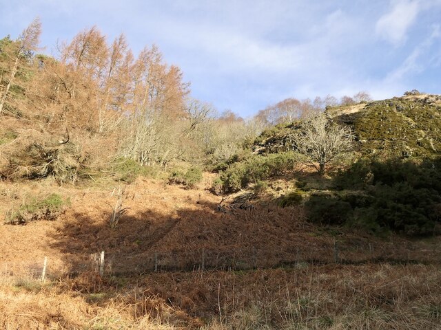
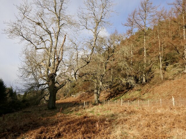
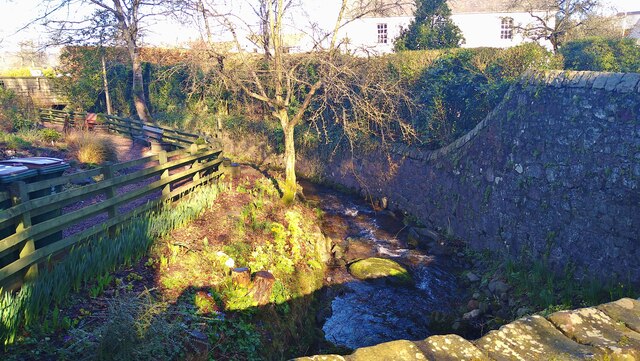
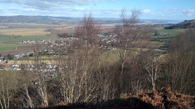
The hill offers breathtaking panoramic views of the surrounding landscape, including the lush greenery of the nearby Abernethy Forest and the sweeping valleys that stretch out below. Its prominent position provides an excellent vantage point to admire the beauty of the Scottish Highlands.
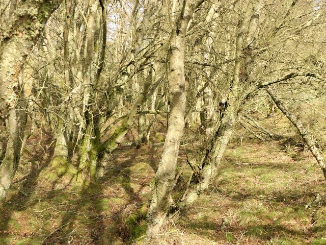
Abernethy Hill is known for its diverse flora and fauna, including rare species of plants and wildlife. It is home to a variety of bird species, such as the capercaillie, black grouse, and Scottish crossbill, making it a popular destination for birdwatchers. The hill also hosts a range of other wildlife, including red deer, mountain hares, and smaller mammals like pine martens and red squirrels.
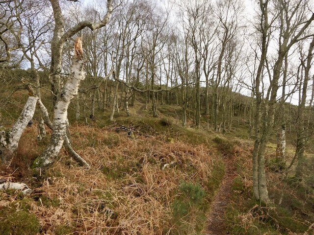
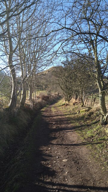
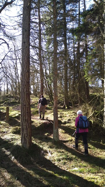
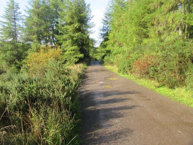
The hill can be accessed via well-marked hiking trails, allowing visitors to explore its rugged terrain and enjoy its natural beauty. The ascent to the summit may be challenging, but the rewarding views and serene atmosphere make it a worthwhile endeavor.
Abernethy Hill offers a tranquil escape from the hustle and bustle of everyday life, providing visitors with an opportunity to immerse themselves in the stunning Scottish countryside and experience the wonders of nature firsthand.
If you have any feedback on the listing, please let us know in the comments section below.
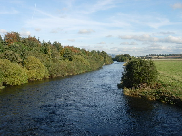
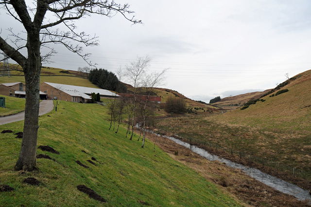
Abernethy Hill Images
Images are sourced within 2km of 56.324375/-3.3115317 or Grid Reference NO1815. Thanks to Geograph Open Source API. All images are credited.
Abernethy Hill is located at Grid Ref: NO1815 (Lat: 56.324375, Lng: -3.3115317)
Unitary Authority: Perth and Kinross
Police Authority: Tayside
What 3 Words
///straws.helpfully.bonds. Near Abernethy, Perth & Kinross
Nearby Locations
Related Wikis

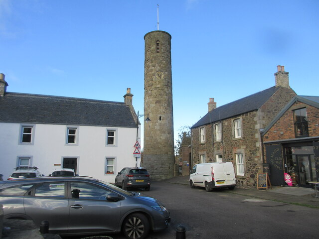
Abernethy Round Tower
The Abernethy Round Tower is a stone-built Irish-style round tower which stands in School Wynd, at the edge of the village cemetery, in Abernethy, Perth...
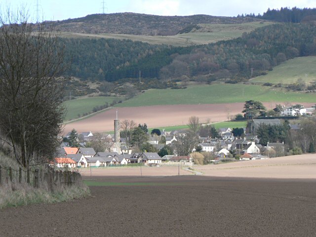
Abernethy, Perth and Kinross
Abernethy (Scottish Gaelic: Obar Neithich) is a village in Perth and Kinross, Scotland, situated 8 miles (13 km) south-east of Perth. == Etymology == Abernethy...
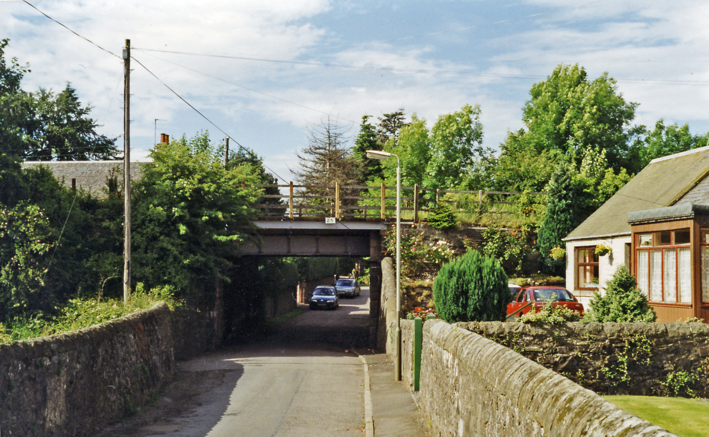
Abernethy railway station
Abernethy railway station served the village of Abernethy, in Scotland. == History == Initially Abernethy Road opened concurrently with the Edinburgh and...

Carpow
Carpow () is a diffuse hamlet in Perth and Kinross, Scotland. It is situated immediately to the east of the confluence of the River Tay and River Earn...

Aberargie
Aberargie (Scottish Gaelic: Obar Fhargaidh) is a village in the south eastern region of Perth and Kinross. It lies on the western edge of the old Abernethy...
River Earn
The River Earn (Scottish Gaelic: Uisge Èireann) in Scotland leaves Loch Earn at St Fillans and runs east through Strathearn, then east and south, joining...

Carpow Roman Fort
The Roman Fort of Carpow was situated at the confluence of the rivers Tay and Earn in what is now Scotland.It was a large fortress with an area of thirty...
River Farg
The River Farg is a small tributary of the River Earn, located in the lieutenancy area of Perth and Kinross, central Scotland. == Course == Its source...
Nearby Amenities
Located within 500m of 56.324375,-3.3115317Have you been to Abernethy Hill?
Leave your review of Abernethy Hill below (or comments, questions and feedback).