Craig Llysfaen
Hill, Mountain in Glamorgan
Wales
Craig Llysfaen
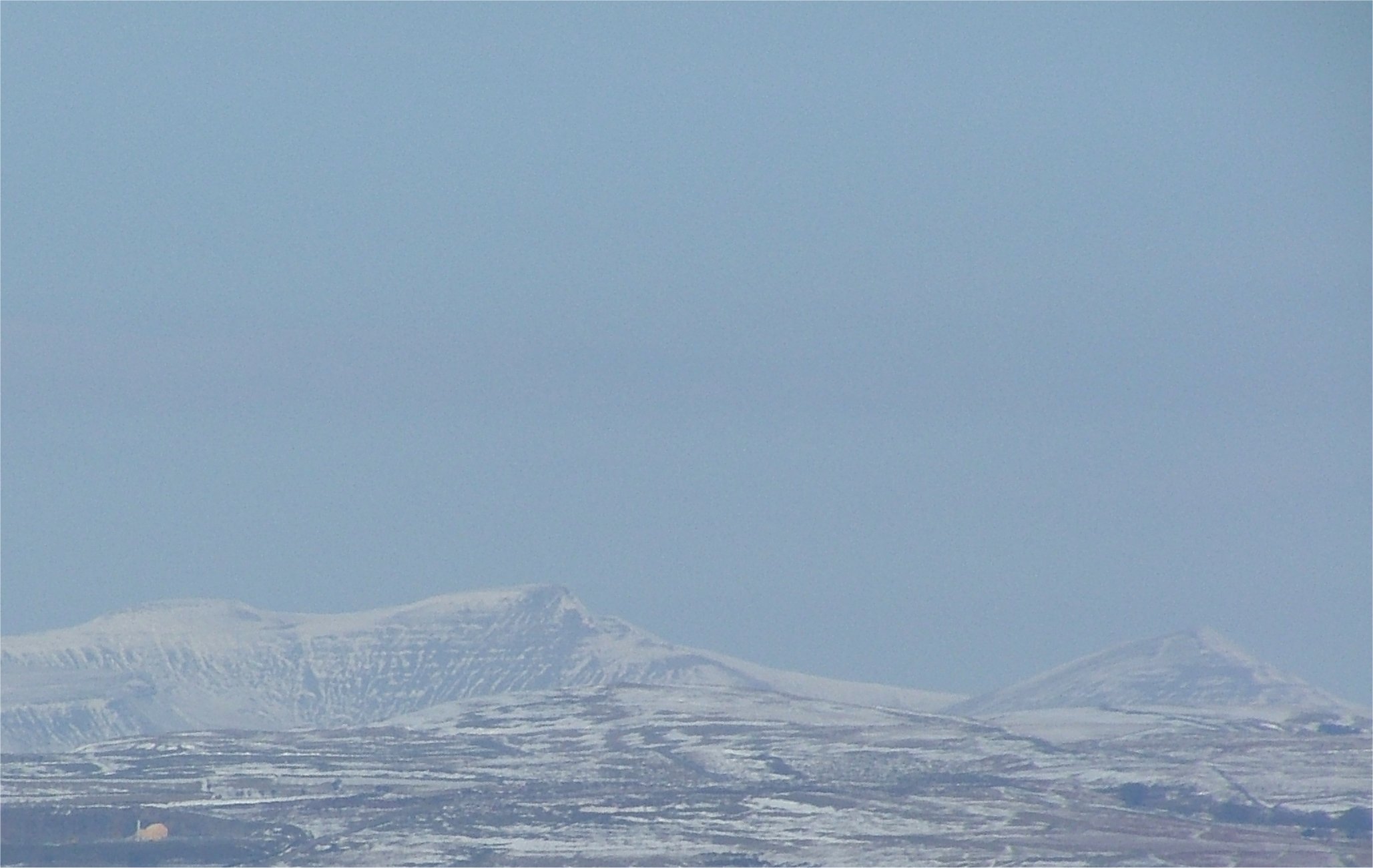
Craig Llysfaen is a prominent hill located in Glamorgan, Wales. Situated in the southern part of the county, it forms part of the stunning landscape of the Glamorgan Heritage Coast. With an elevation of approximately 181 meters (594 feet), Craig Llysfaen offers breathtaking panoramic views of the surrounding area.
The hill is characterized by its distinctive rocky outcrop, which gives it a unique and rugged appearance. It is a popular destination for hikers, nature enthusiasts, and photographers, who are drawn to its beauty and serenity. The hill is covered in lush vegetation, including grasses, heather, and various wildflowers, providing a habitat for a diverse range of wildlife.
The summit of Craig Llysfaen is accessible via a network of well-maintained footpaths, making it an ideal location for outdoor activities such as walking and hiking. The hill offers a challenging yet rewarding climb, with stunning vistas awaiting those who reach the top.
In addition to its natural beauty, Craig Llysfaen also holds historical significance. The hill is home to ancient remains, including Bronze Age burial cairns, which provide a glimpse into the area's rich past. These archaeological sites add an extra layer of intrigue and interest for visitors.
Overall, Craig Llysfaen is a captivating hill in Glamorgan, offering a combination of stunning natural landscapes, recreational opportunities, and historical significance. It is a must-visit destination for those seeking an immersive outdoor experience in Wales.
If you have any feedback on the listing, please let us know in the comments section below.
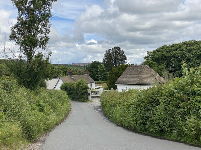
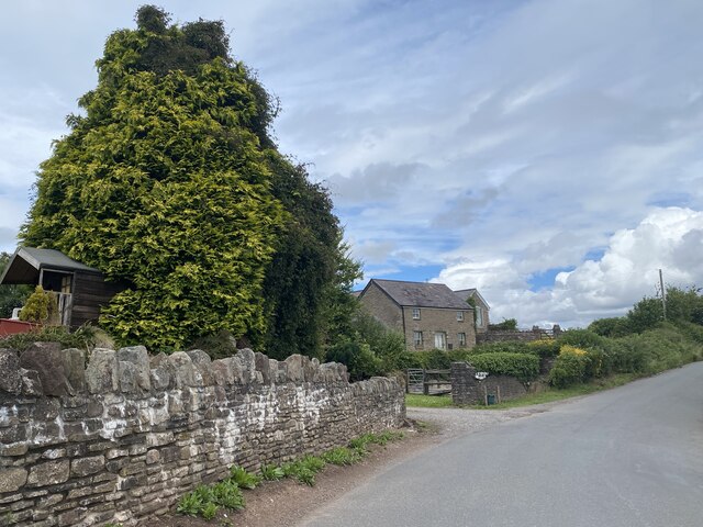
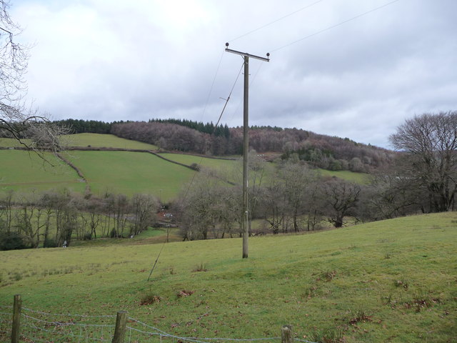
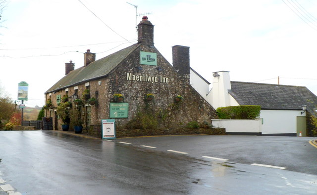
Craig Llysfaen Images
Images are sourced within 2km of 51.558762/-3.1699008 or Grid Reference ST1885. Thanks to Geograph Open Source API. All images are credited.


Craig Llysfaen is located at Grid Ref: ST1885 (Lat: 51.558762, Lng: -3.1699008)
Unitary Authority: Cardiff
Police Authority: South Wales
What 3 Words
///placed.middle.cheer. Near Caerphilly
Nearby Locations
Related Wikis
Craig Llysfaen
Craig Llysfaen, also known as Lisvane Graig, is a prominent hill of 265 m above sea level, overlooking Cardiff, some 7 miles north of the city centre...

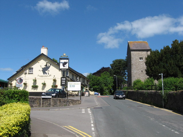
Rudry
Rudry (Welsh: Rhydri) is a small village and community located to the east of Caerphilly in Wales. As a community Rudry contains not only the village of...
Lisvane
Lisvane (Welsh: Llys-faen) is a community in the north of Cardiff, the capital of Wales, located 5 miles (8 km) north of the city centre. Lisvane is generally...

Cefn Onn Halt railway station
Cefn Onn Halt railway station was a halt on the Rhymney Line between Cardiff and Rhymney, Wales opened in 1915. It closed on 27 September 1986 and was...

St James's Church, Rudry
St James's Church, Rudry is an historic Anglican church in the village of Rudry in the Diocese of Monmouth. == History == The church was founded in the...

Llanishen Golf Club
Llanishen Golf Club is a golf course in Thornhill, north of Llanishen on the northern outskirts of Cardiff, Wales. It lies across the M4 motorway from...
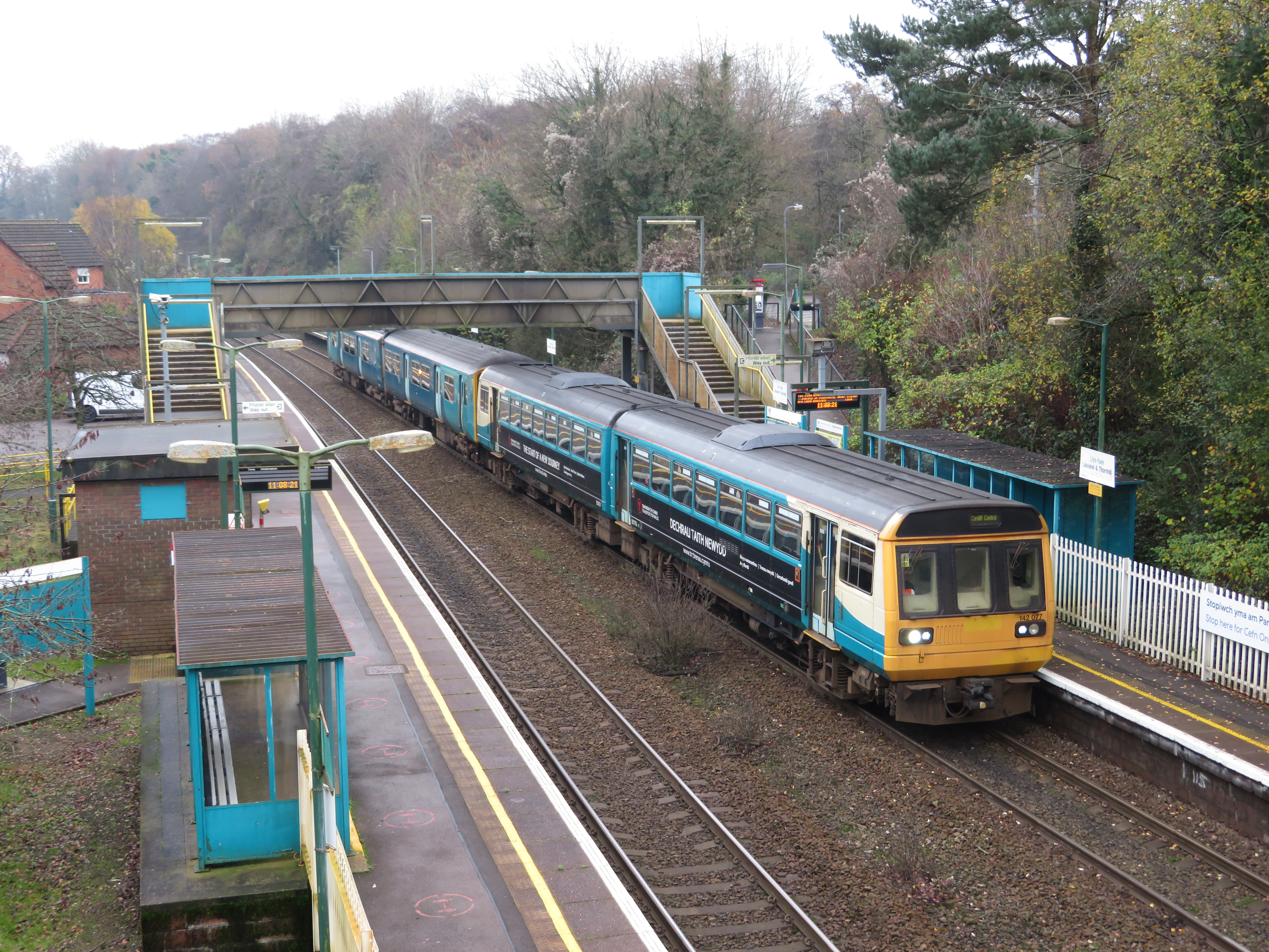
Lisvane and Thornhill railway station
Lisvane and Thornhill railway station (Welsh: Llys-faen a Draenen Pen-y-Graig) is a railway station serving the Lisvane and Thornhill areas of north Cardiff...

Ty Gwyn, Lisvane
Ty Gwyn is a large detached house in the Cardiff suburb of Lisvane. It is set in 5 acres of grounds and is 10,000sq ft in size.It was built by the builder...
Nearby Amenities
Located within 500m of 51.558762,-3.1699008Have you been to Craig Llysfaen?
Leave your review of Craig Llysfaen below (or comments, questions and feedback).