Buckland Wood

Wood, Forest in Somerset Somerset West and Taunton

England

Buckland Wood

Pitminster : Lowton Road Lowton Road off Blackdown Hill.
Pitminster : Lowton Road Credit: Lewis Clarke

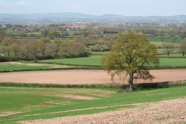
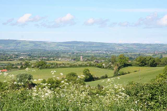
Buckland Wood is a picturesque woodland located in Somerset, England. Covering an area of approximately 100 hectares, it is a popular destination for nature enthusiasts and those seeking tranquility amidst nature. The wood is situated near the village of Buckland St. Mary, offering visitors easy access and ample parking facilities.

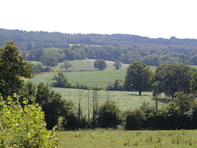
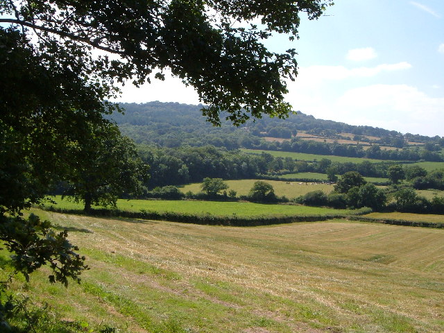
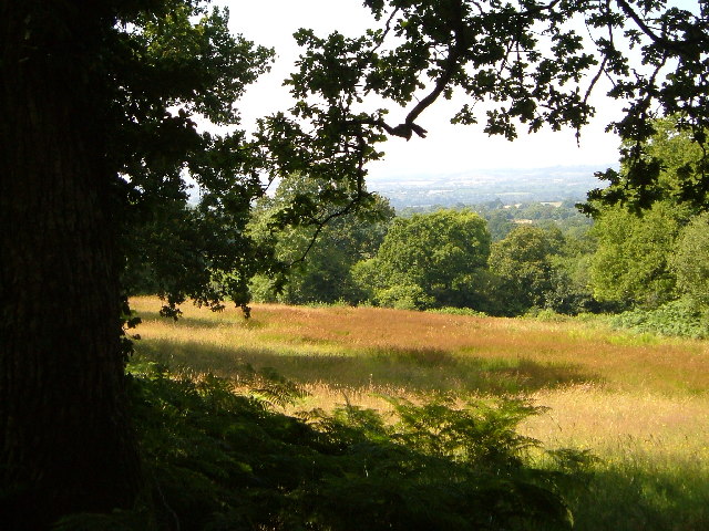
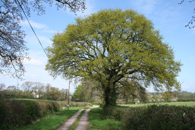
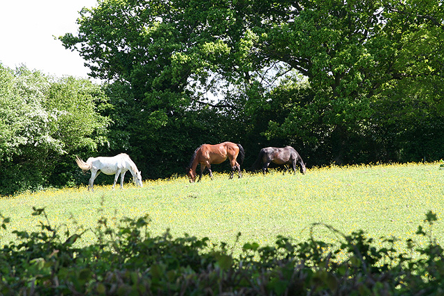
The woodland is primarily composed of native broadleaf trees, including oak, beech, and ash, which create a dense and vibrant canopy. This diverse ecosystem provides a habitat for a wide range of flora and fauna, making it an important site for wildlife conservation. Visitors can expect to encounter various bird species, such as woodpeckers and tawny owls, as well as small mammals like badgers and foxes.

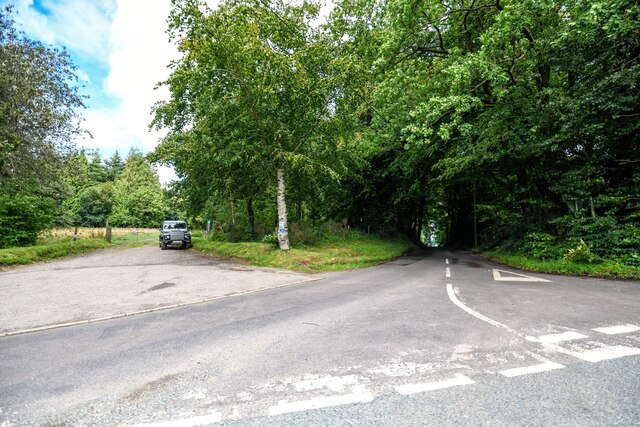
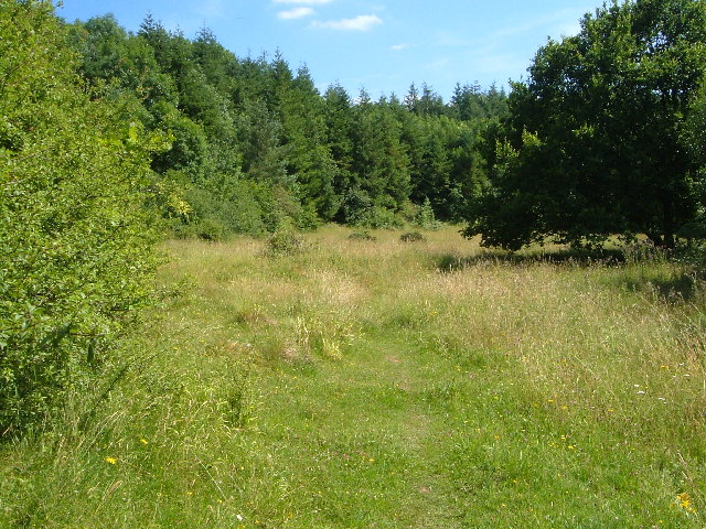
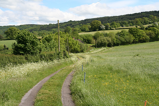
A network of well-maintained footpaths wind through Buckland Wood, allowing visitors to explore its natural beauty. These paths lead to hidden glades, tranquil ponds, and ancient trees, which add to the enchanting atmosphere of the woodland. During spring, the forest floor becomes a carpet of bluebells, creating a stunning display of color and fragrance.

The wood also offers educational opportunities, with information boards dotted throughout the area to educate visitors about the local flora, fauna, and history. There are also designated picnic areas, providing a perfect spot for families and friends to enjoy a leisurely lunch surrounded by nature.

Buckland Wood, Somerset, offers an idyllic escape from the hustle and bustle of everyday life, providing a sanctuary for wildlife and a peaceful haven for visitors to immerse themselves in the beauty of nature.

If you have any feedback on the listing, please let us know in the comments section below.

Buckland Wood Images

Images are sourced within 2km of 50.952451/-3.1663392 or Grid Reference ST1817. Thanks to Geograph Open Source API. All images are credited.

Pitminster : Lowton Road Lowton Road off Blackdown Hill.
Pitminster : Lowton Road
Lowton Road off Blackdown Hill.
Pitminster : Woodland Woodland seen off Blackdown Hill.
Pitminster : Woodland
Woodland seen off Blackdown Hill.
Pitminster : Blackdown Hill Looking along the road.
Pitminster : Blackdown Hill
Looking along the road.
Pitminster : Blackdown Hill Looking along Blackdown Hill.
Pitminster : Blackdown Hill
Looking along Blackdown Hill.
Pitminster : Track A track heading off Blackdown Hill to Sheep Wash.
Pitminster : Track
A track heading off Blackdown Hill to Sheep Wash.
Northern slopes of Blackdown Hills from Angersleigh Looking SSW from near Angersleigh church across farmland towards Leigh Hill
Northern slopes of Blackdown Hills from Angersleigh
Looking SSW from near Angersleigh church across farmland towards Leigh Hill
Farmland SE of Ruggin Looking WSW across the northern slopes of the Blackdown Hills, with Buckland Wood and Hill behind
Farmland SE of Ruggin
Looking WSW across the northern slopes of the Blackdown Hills, with Buckland Wood and Hill behind
Quants Nature Reserve Hidden within steep woods on the north-facing slopes of the Blackdown Hills, this meadow forms part of Quants SSSI, rich in plants indicative of ancient woodland, butterflies and other fauna
Quants Nature Reserve
Hidden within steep woods on the north-facing slopes of the Blackdown Hills, this meadow forms part of Quants SSSI, rich in plants indicative of ancient woodland, butterflies and other fauna
Woodland meadow near Farm Wood Bungalow Here the lower north-facing slopes of the Blackdown Hills form a patchwork of woods (here oak) and fields. Looking northwards, with a view across the Vale of Taunton Deane in the background.
Woodland meadow near Farm Wood Bungalow
Here the lower north-facing slopes of the Blackdown Hills form a patchwork of woods (here oak) and fields. Looking northwards, with a view across the Vale of Taunton Deane in the background.
West Buckland: the way to Buckland Farm The notice on the post indicates that this is a private road. With the oak tree just coming into leaf
West Buckland: the way to Buckland Farm
The notice on the post indicates that this is a private road. With the oak tree just coming into leaf
Pitminster: near Chelmsine Looking west-north-west over farmland. Wellington, with its church tower, can be seen in mid distance
Pitminster: near Chelmsine
Looking west-north-west over farmland. Wellington, with its church tower, can be seen in mid distance
Pitminster: cemetery at Chelmsine chapel Looking east-south-east with the Blackdown Hills beyond.
Pitminster: cemetery at Chelmsine chapel
Looking east-south-east with the Blackdown Hills beyond.
Pitminster: road by Mount Pleasant This route links Wellington with the A303 at Yarcombe and for much of its length runs in a series of straight sections. The bends at Mount Pleasant are untypical. Looking east-south-east
Pitminster: road by Mount Pleasant
This route links Wellington with the A303 at Yarcombe and for much of its length runs in a series of straight sections. The bends at Mount Pleasant are untypical. Looking east-south-east
West Buckland: Blackmoor Looking north-north-east towards West Buckland church from a point near Crosses Farm
West Buckland: Blackmoor
Looking north-north-east towards West Buckland church from a point near Crosses Farm
West Buckland: three horses grazing Looking south-south-east from a lane near Crosses Farm
West Buckland: three horses grazing
Looking south-south-east from a lane near Crosses Farm
West Buckland: track to Perry Meade The track also serves as a public footpath to Ruggin. The thatched roof of Perry Meade is just visible beyond trees. Looking south-south-east on the edge of the Blackdown Hills
West Buckland: track to Perry Meade
The track also serves as a public footpath to Ruggin. The thatched roof of Perry Meade is just visible beyond trees. Looking south-south-east on the edge of the Blackdown Hills
West Buckland: on Buckland Hill Looking south west near Trees Farm
West Buckland: on Buckland Hill
Looking south west near Trees Farm
Clayhidon: farmhouse at Wilton Cross Looking north. Note spelling: Wilton Cross but Wiltown valley and Wiltown farm
Clayhidon: farmhouse at Wilton Cross
Looking north. Note spelling: Wilton Cross but Wiltown valley and Wiltown farm
Show me another place!

Buckland Wood is located at Grid Ref: ST1817 (Lat: 50.952451, Lng: -3.1663392)

Administrative County: Somerset

District: Somerset West and Taunton

Police Authority: Avon and Somerset

What 3 Words

///careless.boards.weeks. Near Hemyock, Devon

Related Wikis

Quants Reserve

Quants Reserve is a nature reserve north west of Burnworthy in Somerset, England. It consists of a grassland clearing in a forestry plantation. It is well...

Leigh Reservoir

Leigh Reservoir, or Leigh Hill Reservoir, is a small reservoir in Somerset, England. It was built in 1893 to supply water to the town of Taunton, Somerset...

Church of St Michael, Angersleigh

The Anglican Church of St Michael in Angersleigh, Somerset, England was built in the 14th century. It is a Grade II* listed building. == History == The...

Luxhay Reservoir

Luxhay Reservoir is an artificial reservoir near Angersleigh, Somerset, England. It is now owned by Wessex Water. It was built in 1905 by the town corporation...

Nearby Amenities

Located within 500m of 50.952451,-3.1663392
The data included in this document is from www.openstreetmap.org. The data is made available under ODbL.

Have you been to Buckland Wood?

Leave your review of Buckland Wood below (or comments, questions and feedback).