Gills Coppice
Wood, Forest in Cumberland Copeland
England
Gills Coppice
Gills Coppice is a picturesque woodland located in Cumberland, England. Known for its natural beauty and rich biodiversity, this forest is a haven for nature lovers and outdoor enthusiasts alike. Covering an area of approximately 200 acres, Gills Coppice offers a tranquil escape from the hustle and bustle of everyday life.
The woodland is characterized by its dense canopy of trees, predominantly consisting of oak, beech, and birch. These towering trees provide a habitat for a wide variety of wildlife, including birds, squirrels, and deer. It is not uncommon to spot woodpeckers, tawny owls, and various species of butterflies fluttering among the foliage.
Gills Coppice is crisscrossed with numerous walking trails, allowing visitors to explore the forest at their own pace. The paths wind through a tapestry of ferns, wildflowers, and moss-covered rocks, creating a magical atmosphere. Along the way, there are several designated picnic areas where visitors can pause and enjoy the tranquility of the surroundings.
For those seeking a more immersive experience, Gills Coppice also offers camping facilities. The campsite is nestled within a secluded clearing, offering a true back-to-nature experience. Camping here allows visitors to wake up to the sounds of chirping birds and the gentle rustling of leaves.
Overall, Gills Coppice is a hidden gem in Cumberland, providing a sanctuary for both wildlife and humans alike. Its lush greenery, diverse flora and fauna, and peaceful ambiance make it a must-visit destination for anyone looking to reconnect with nature.
If you have any feedback on the listing, please let us know in the comments section below.
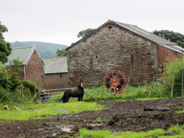
Gills Coppice Images
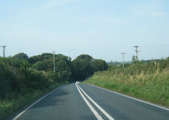
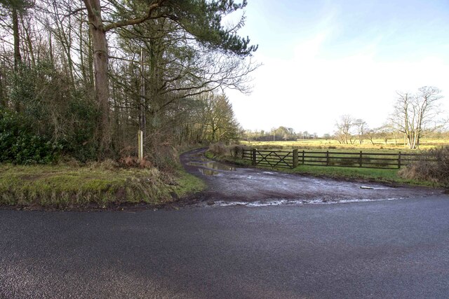
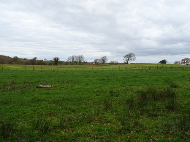
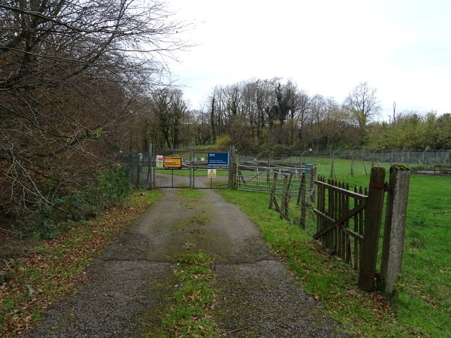
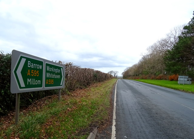
Images are sourced within 2km of 54.399868/-3.3936747 or Grid Reference NY0901. Thanks to Geograph Open Source API. All images are credited.


Gills Coppice is located at Grid Ref: NY0901 (Lat: 54.399868, Lng: -3.3936747)
Administrative County: Cumbria
District: Copeland
Police Authority: Cumbria
What 3 Words
///edge.depths.readings. Near Seascale, Cumbria
Nearby Locations
Related Wikis

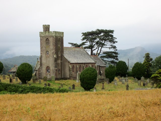
St Paul, Irton
St Paul, Irton is an active parish church in the civil parish of Irton with Santon, Cumbria, England. It is in the Calder Deanery of the Anglican diocese...

Irton Cross
Irton Cross is an Anglo-Saxon cross in the graveyard of St Paul's Church, in the parish of Irton with Santon, Cumbria, England. Dating from the early...

Irton with Santon
Irton with Santon is a civil parish in Copeland, Cumbria, England, which includes the village of Santon Bridge. It has a parish council. It had a population...
Santon Bridge
Santon Bridge is a small village in Copeland, Cumbria, England, at a bridge over the River Irt. The civil parish is called Irton with Santon. The population...
Nearby Amenities
Located within 500m of 54.399868,-3.3936747Have you been to Gills Coppice?
Leave your review of Gills Coppice below (or comments, questions and feedback).