Deborah Hill
Hill, Mountain in Cumberland Copeland
England
Deborah Hill

Deborah Hill, located in Cumberland, Rhode Island, is a picturesque mountain that offers breathtaking views and numerous recreational activities for visitors. Standing at an elevation of approximately 465 feet, it is one of the highest points in the state.
The mountain is named after Deborah Hill, an influential figure in the history of Cumberland. She was a prominent community leader and played a crucial role in the early development of the town. Her contributions to education and social welfare are still honored today.
The landscape of Deborah Hill is characterized by dense forests, rocky terrains, and diverse wildlife. Hiking enthusiasts can explore the various trails that wind through the mountain, providing opportunities to witness the beauty of nature up close. The trails cater to all levels of hikers, from beginners to experienced adventurers.
The highlight of Deborah Hill is its panoramic views. On clear days, visitors can marvel at the stunning vistas of the surrounding countryside, including the Blackstone Valley and parts of Massachusetts. The mountain peak is an ideal spot for photographers, as it offers unique perspectives and breathtaking sunsets.
For those seeking outdoor activities, Deborah Hill offers opportunities for bird watching, picnicking, and nature photography. The mountain is home to a wide range of bird species, making it a popular spot for bird enthusiasts. Additionally, the peaceful atmosphere and natural beauty make it an ideal location for relaxation and meditation.
Overall, Deborah Hill is a cherished landmark in Cumberland, Rhode Island, attracting nature lovers, hikers, and history enthusiasts alike. Its natural beauty, rich history, and recreational opportunities make it a must-visit destination for anyone exploring the area.
If you have any feedback on the listing, please let us know in the comments section below.
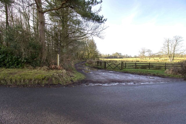
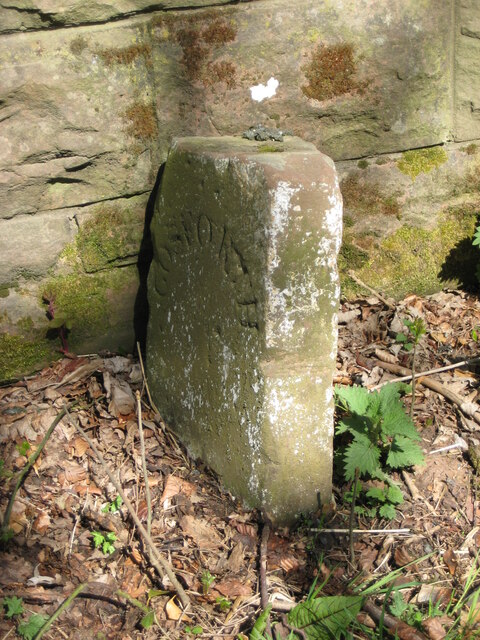
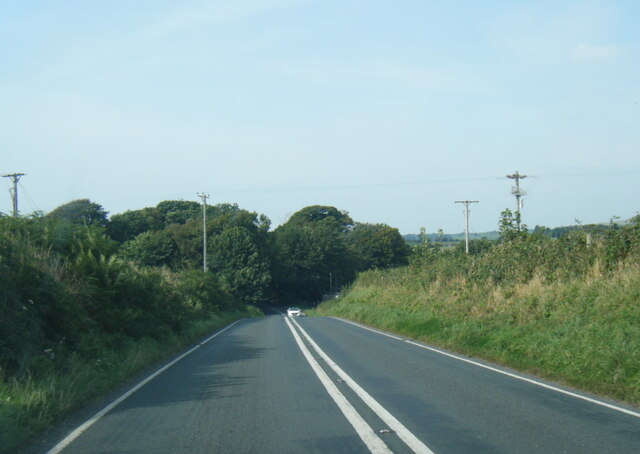
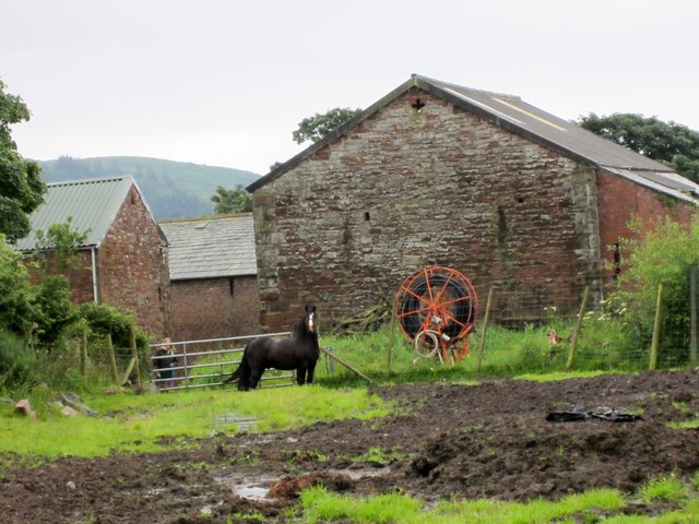
Deborah Hill Images
Images are sourced within 2km of 54.403188/-3.3957746 or Grid Reference NY0901. Thanks to Geograph Open Source API. All images are credited.


Deborah Hill is located at Grid Ref: NY0901 (Lat: 54.403188, Lng: -3.3957746)
Administrative County: Cumbria
District: Copeland
Police Authority: Cumbria
What 3 Words
///nametag.snow.cherry. Near Seascale, Cumbria
Nearby Locations
Related Wikis

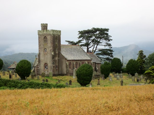
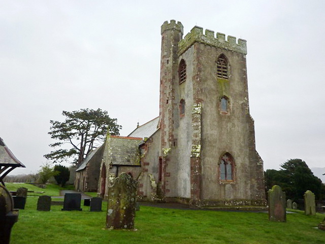
St Paul, Irton
St Paul, Irton is an active parish church in the civil parish of Irton with Santon, Cumbria, England. It is in the Calder Deanery of the Anglican diocese...

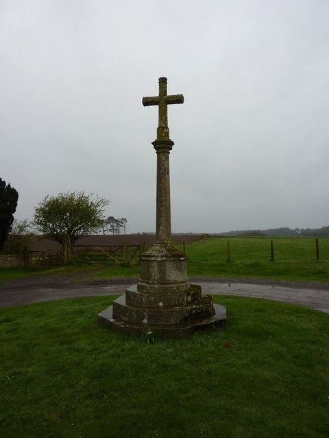
Irton Cross
Irton Cross is an Anglo-Saxon cross in the graveyard of St Paul's Church, in the parish of Irton with Santon, Cumbria, England. Dating from the early...

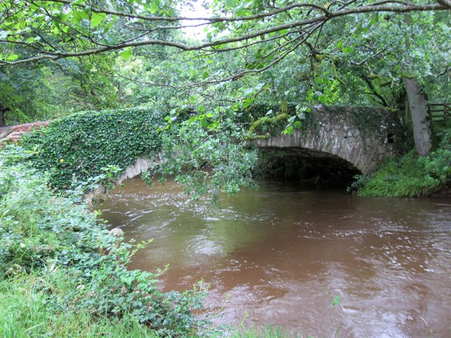
River Bleng
The River Bleng is a tributary of the River Irt in the county of Cumbria in northern England. The river gives its name to the valley that it flows through...

Irton with Santon
Irton with Santon is a civil parish in Copeland, Cumbria, England, which includes the village of Santon Bridge. It has a parish council. It had a population...
Nearby Amenities
Located within 500m of 54.403188,-3.3957746Have you been to Deborah Hill?
Leave your review of Deborah Hill below (or comments, questions and feedback).