Gills Wood

Wood, Forest in Cumberland Copeland

England

Gills Wood

A595 in Holmrook village
A595 in Holmrook village Credit: Colin Pyle

Gills Wood is a picturesque woodland area located in Cumberland, England. Covering an extensive area, it is known for its natural beauty and diverse ecosystem. The wood is nestled within the stunning landscape of the Lake District National Park, which adds to its allure and popularity among locals and tourists alike.

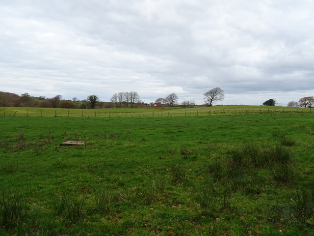
The wood is characterized by its dense and lush vegetation, comprising a mix of deciduous and coniferous trees. Oak, beech, and birch trees dominate the landscape, providing a rich canopy that attracts a wide range of wildlife. The forest floor is covered with a variety of ferns, mosses, and wildflowers, adding to the enchanting atmosphere of the woodland.

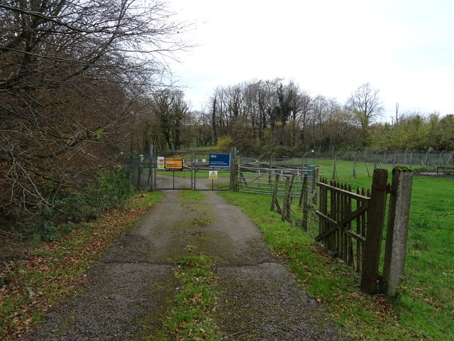
Gills Wood is crisscrossed by several footpaths and trails, allowing visitors to explore its natural wonders. The paths wind through the forest, leading to secluded clearings, tranquil streams, and small ponds. Many visitors enjoy walking, hiking, and birdwatching in the wood, as it is home to numerous bird species, including woodpeckers, owls, and various songbirds.

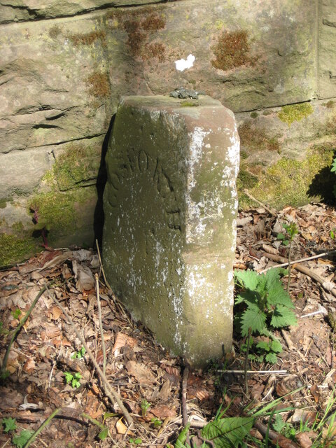
The wood also holds historical significance, with remnants of old stone walls and ancient settlements scattered throughout the area. These remnants serve as a reminder of the wood's long-standing connection to the local community.

Overall, Gills Wood in Cumberland offers a captivating natural environment, where visitors can immerse themselves in the tranquility of the forest, appreciate its diverse flora and fauna, and engage with the rich history that surrounds it.

If you have any feedback on the listing, please let us know in the comments section below.
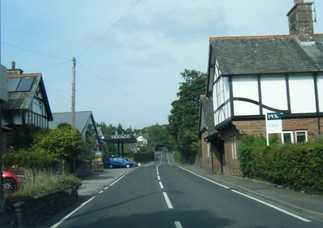
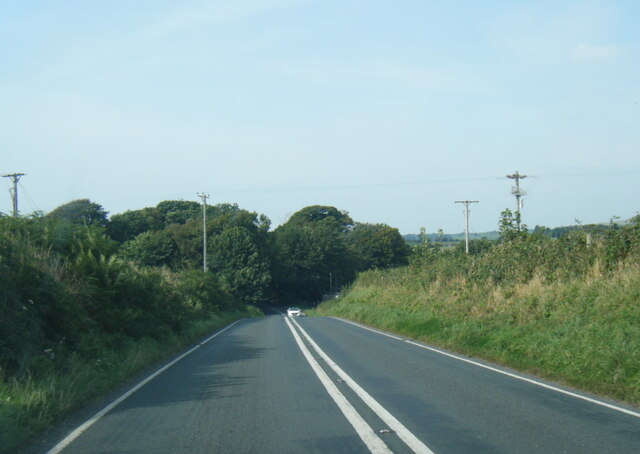
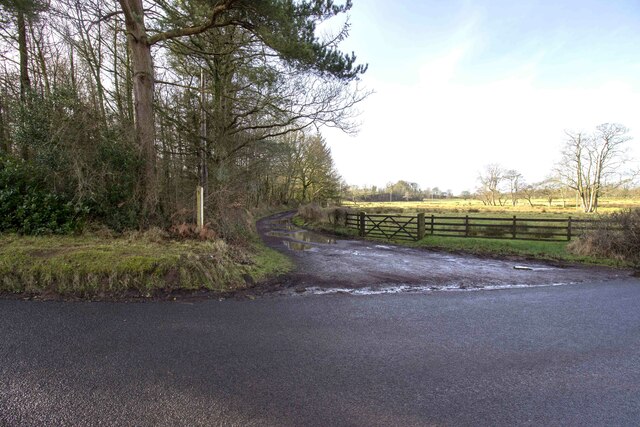
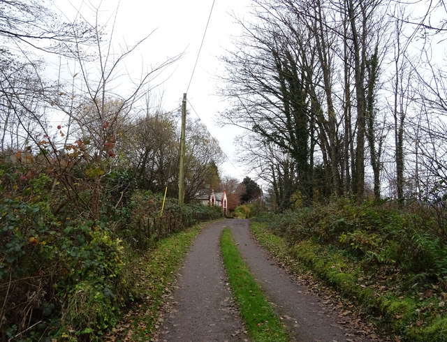
Gills Wood Images

Images are sourced within 2km of 54.397868/-3.3988133 or Grid Reference NY0901. Thanks to Geograph Open Source API. All images are credited.

A595 in Holmrook village
A595 nearing Blackbeck Bridge
Whitecroft, Santon Santon is a tiny hamlet about half a mile from Santon Bridge on the road to Gosforth. This row of cottages, which includes holiday lets, is the most prominent building.
Whitecroft, Santon
Santon is a tiny hamlet about half a mile from Santon Bridge on the road to Gosforth. This row of cottages, which includes holiday lets, is the most prominent building.
Graveyard Of St Paul's Church The graveyard contains the historic Irton High Cross and a copy in the form of the Brocklebank Memorial
Graveyard Of St Paul's Church
The graveyard contains the historic Irton High Cross and a copy in the form of the Brocklebank Memorial
Minor road towards Santon
Road junction in Santon
Bridleway to Meolbank Bridleway to Meolbank Farm
Bridleway to Meolbank
Bridleway to Meolbank Farm
Irton Cross Situated in the graveyard of St Paul's Church, the Irton Cross is 10 feet tall and was erected in the early 9th Century. The cross has fine carvings and is one of the most important crosses in Cumbria.
Irton Cross
Situated in the graveyard of St Paul's Church, the Irton Cross is 10 feet tall and was erected in the early 9th Century. The cross has fine carvings and is one of the most important crosses in Cumbria.
Church of St Paul, Irton Built in 1857 with additions in 1866 and 1872, St Paul’s Church stands in an isolated position and is a good example of a small Victorian Church. It is a Grade II* Listed Building. <span class="nowrap"><a title="http://www.britishlistedbuildings.co.uk/101086671-church-of-st-paul-irton-with-santon#.WYzZbTGWw5s" rel="nofollow ugc noopener" href="http://www.britishlistedbuildings.co.uk/101086671-church-of-st-paul-irton-with-santon#.WYzZbTGWw5s">Link</a><img style="margin-left:2px;" alt="External link" title="External link - shift click to open in new window" src="https://s1.geograph.org.uk/img/external.png" width="10" height="10"/></span>
Church of St Paul, Irton
Built in 1857 with additions in 1866 and 1872, St Paul’s Church stands in an isolated position and is a good example of a small Victorian Church. It is a Grade II* Listed Building. LinkExternal link
Old Wayside Cross in St Pauls churchyard, Irton Irton Cross, in St Pauls churchyard, parish of Irton with Santon (Copeland District), South side of church.

Scheduled Monument.
List Entry Number: 1012642 <span class="nowrap"><a title="https://historicengland.org.uk/listing/the-list/list-entry/1012642" rel="nofollow ugc noopener" href="https://historicengland.org.uk/listing/the-list/list-entry/1012642">Link</a><img style="margin-left:2px;" alt="External link" title="External link - shift click to open in new window" src="https://s1.geograph.org.uk/img/external.png" width="10" height="10"/></span>

To be surveyed

Milestone Society National ID: CBCL_IRT
Old Wayside Cross in St Pauls churchyard, Irton
Irton Cross, in St Pauls churchyard, parish of Irton with Santon (Copeland District), South side of church. Scheduled Monument. List Entry Number: 1012642 LinkExternal link To be surveyed Milestone Society National ID: CBCL_IRT
Track (footpath) towards Holmrook Hall
Grazing near sewage works Off the A595.
Grazing near sewage works
Off the A595.
Sewage works off the A595 north of Holmrook
A595 towards Whitehaven
Sheep grazing off the A595
Track to Bolt How Farm Off the A595.
Track to Bolt How Farm
Off the A595.
A595 towards Gosforth
Old Boundary Marker on the A595 at Blackbeck Bridge Parish Boundary Marker against the northeast parapet of Blackbeck bridge, Black Beck, on the A595. On the former boundary of Gosforth and Irton parishes, now Gosforth and Irton with Santon parishes. Inscribed GOSFORTH on the left face and IRTON on the right face, with Gosforth letters arched and Irton letters horizontal.

Milestone Society National ID: CU_WHKD01pb
Old Boundary Marker on the A595 at Blackbeck Bridge
Parish Boundary Marker against the northeast parapet of Blackbeck bridge, Black Beck, on the A595. On the former boundary of Gosforth and Irton parishes, now Gosforth and Irton with Santon parishes. Inscribed GOSFORTH on the left face and IRTON on the right face, with Gosforth letters arched and Irton letters horizontal. Milestone Society National ID: CU_WHKD01pb
Show me another place!

Gills Wood is located at Grid Ref: NY0901 (Lat: 54.397868, Lng: -3.3988133)

Administrative County: Cumbria

District: Copeland

Police Authority: Cumbria

What 3 Words

///helped.arrival.gobbles. Near Seascale, Cumbria

Related Wikis

Nearby Amenities

Located within 500m of 54.397868,-3.3988133
Post Box
Ref: CA19 27
Lat/Long: 54.3987492/-3.4043088
Power: pole
Lat/Long: 54.3994535/-3.4046675
Power: pole
Lat/Long: 54.3991097/-3.4043721
Power: pole
Lat/Long: 54.3986671/-3.4050143
Power: pole
Lat/Long: 54.398291/-3.4055612
The data included in this document is from www.openstreetmap.org. The data is made available under ODbL.

Have you been to Gills Wood?

Leave your review of Gills Wood below (or comments, questions and feedback).