Garden Wood

Wood, Forest in Cumberland Copeland

England

Garden Wood

A595 at Holmrook village boundary
A595 at Holmrook village boundary Credit: Colin Pyle

Garden Wood, located in Cumberland, is a vast and enchanting forest that spans across a sprawling area of land. This woodland paradise is renowned for its serene and picturesque beauty, attracting nature enthusiasts and adventurers alike. The wood is predominantly comprised of a rich variety of deciduous and evergreen trees, creating a diverse and vibrant ecosystem.

As visitors wander through the wood's well-maintained trails, they are greeted with a symphony of sounds from the resident birdlife, including the melodic songs of thrushes and the rhythmic tapping of woodpeckers. The forest floor is adorned with a tapestry of wildflowers during the spring and summer months, offering a vibrant burst of color.

Garden Wood is home to a plethora of wildlife, including deer, foxes, and squirrels, who find solace amidst the dense foliage and towering trees. For those with a keen eye, they might even catch a glimpse of the elusive red squirrel, a rare sight in many parts of the country.

Nature enthusiasts will find ample opportunities for exploration and discovery within the wood. The wood's diverse terrain features rolling hills, meandering streams, and hidden clearings, all waiting to be explored. It is a haven for hikers, birdwatchers, and photographers, who can capture the woodland's beauty from various vantage points.

The wood is also steeped in history, with remnants of ancient settlements and stone structures scattered throughout. It serves as a testament to the rich cultural heritage of the region, offering a glimpse into the lives of those who once inhabited this land.

Garden Wood, Cumberland, is a true natural gem, providing visitors with an immersive and awe-inspiring experience in the heart of nature.

If you have any feedback on the listing, please let us know in the comments section below.
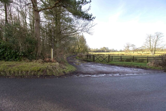
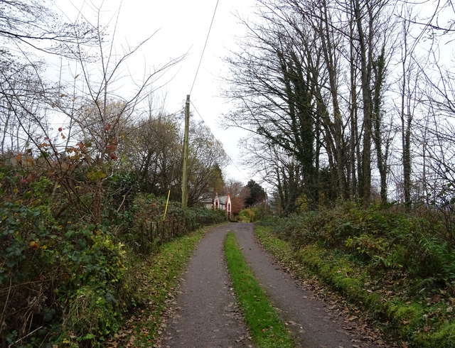
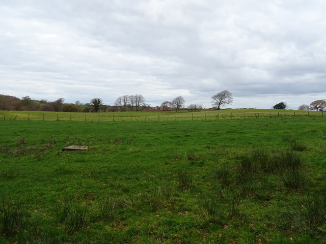
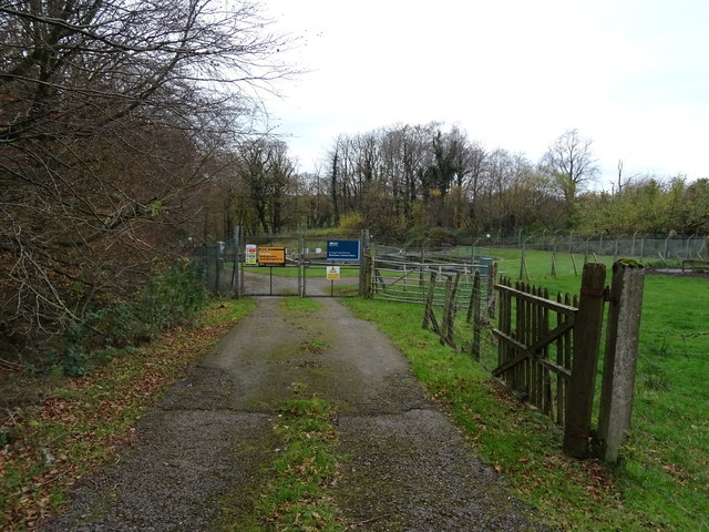
Garden Wood Images

Images are sourced within 2km of 54.396644/-3.4028382 or Grid Reference NY0901. Thanks to Geograph Open Source API. All images are credited.

A595 at Holmrook village boundary
A595 in Holmrook village
A595 nearing Blackbeck Bridge
A595 near High House Farm
Whitecroft, Santon Santon is a tiny hamlet about half a mile from Santon Bridge on the road to Gosforth. This row of cottages, which includes holiday lets, is the most prominent building.
Whitecroft, Santon
Santon is a tiny hamlet about half a mile from Santon Bridge on the road to Gosforth. This row of cottages, which includes holiday lets, is the most prominent building.
Graveyard Of St Paul's Church The graveyard contains the historic Irton High Cross and a copy in the form of the Brocklebank Memorial
Graveyard Of St Paul's Church
The graveyard contains the historic Irton High Cross and a copy in the form of the Brocklebank Memorial
Minor road towards Santon
Road junction in Santon
Bridleway to Meolbank Bridleway to Meolbank Farm
Bridleway to Meolbank
Bridleway to Meolbank Farm
Irton Cross Situated in the graveyard of St Paul's Church, the Irton Cross is 10 feet tall and was erected in the early 9th Century. The cross has fine carvings and is one of the most important crosses in Cumbria.
Irton Cross
Situated in the graveyard of St Paul's Church, the Irton Cross is 10 feet tall and was erected in the early 9th Century. The cross has fine carvings and is one of the most important crosses in Cumbria.
Church of St Paul, Irton Built in 1857 with additions in 1866 and 1872, St Paul’s Church stands in an isolated position and is a good example of a small Victorian Church. It is a Grade II* Listed Building. <span class="nowrap"><a title="http://www.britishlistedbuildings.co.uk/101086671-church-of-st-paul-irton-with-santon#.WYzZbTGWw5s" rel="nofollow ugc noopener" href="http://www.britishlistedbuildings.co.uk/101086671-church-of-st-paul-irton-with-santon#.WYzZbTGWw5s">Link</a><img style="margin-left:2px;" alt="External link" title="External link - shift click to open in new window" src="https://s1.geograph.org.uk/img/external.png" width="10" height="10"/></span>
Church of St Paul, Irton
Built in 1857 with additions in 1866 and 1872, St Paul’s Church stands in an isolated position and is a good example of a small Victorian Church. It is a Grade II* Listed Building. LinkExternal link
Old Wayside Cross in St Pauls churchyard, Irton Irton Cross, in St Pauls churchyard, parish of Irton with Santon (Copeland District), South side of church.

Scheduled Monument.
List Entry Number: 1012642 <span class="nowrap"><a title="https://historicengland.org.uk/listing/the-list/list-entry/1012642" rel="nofollow ugc noopener" href="https://historicengland.org.uk/listing/the-list/list-entry/1012642">Link</a><img style="margin-left:2px;" alt="External link" title="External link - shift click to open in new window" src="https://s1.geograph.org.uk/img/external.png" width="10" height="10"/></span>

To be surveyed

Milestone Society National ID: CBCL_IRT
Old Wayside Cross in St Pauls churchyard, Irton
Irton Cross, in St Pauls churchyard, parish of Irton with Santon (Copeland District), South side of church. Scheduled Monument. List Entry Number: 1012642 LinkExternal link To be surveyed Milestone Society National ID: CBCL_IRT
Track (footpath) towards Holmrook Hall
Grazing near sewage works Off the A595.
Grazing near sewage works
Off the A595.
Sewage works off the A595 north of Holmrook
A595 towards Whitehaven
Sheep grazing off the A595
Track to Bolt How Farm Off the A595.
Track to Bolt How Farm
Off the A595.
Show me another place!

Garden Wood is located at Grid Ref: NY0901 (Lat: 54.396644, Lng: -3.4028382)

Administrative County: Cumbria

District: Copeland

Police Authority: Cumbria

What 3 Words

///bless.positions.dustbin. Near Seascale, Cumbria

Related Wikis

St Paul, Irton

St Paul, Irton is an active parish church in the civil parish of Irton with Santon, Cumbria, England. It is in the Calder Deanery of the Anglican diocese...

Irton Cross

Irton Cross is an Anglo-Saxon cross in the graveyard of St Paul's Church, in the parish of Irton with Santon, Cumbria, England. Dating from the early...
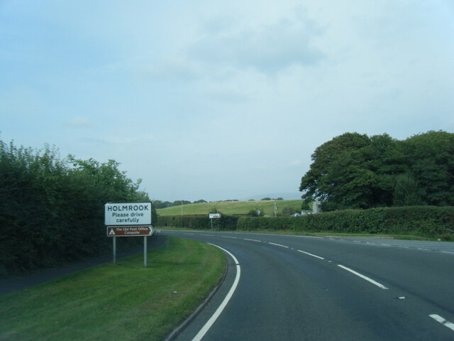
Holmrook

Holmrook is a linear village in the English county of Cumbria. It lies along the A595 road on the west banks of the River Irt. The B5344 road connects...

Santon Bridge

Santon Bridge is a small village in Copeland, Cumbria, England, at a bridge over the River Irt. The civil parish is called Irton with Santon. The population...

Nearby Amenities

Located within 500m of 54.396644,-3.4028382
Post Box
Ref: CA19 27
Lat/Long: 54.3987492/-3.4043088
Power: pole
Lat/Long: 54.3994535/-3.4046675
Power: pole
Lat/Long: 54.3991097/-3.4043721
Power: pole
Lat/Long: 54.3986671/-3.4050143
Power: pole
Lat/Long: 54.398291/-3.4055612
The data included in this document is from www.openstreetmap.org. The data is made available under ODbL.

Have you been to Garden Wood?

Leave your review of Garden Wood below (or comments, questions and feedback).