Half Acre Plantation
Wood, Forest in Cumberland Copeland
England
Half Acre Plantation

Half Acre Plantation is a sprawling woodland located in Cumberland, a county in the state of Wood, Forest. Encompassing an area of approximately half an acre, this plantation is renowned for its rich biodiversity and pristine natural beauty.
The plantation is predominantly covered with dense forests, comprising of various species of trees, including oak, pine, and maple. These towering trees create a lush canopy, providing a favorable habitat for a plethora of flora and fauna. The forest floor is carpeted with vibrant wildflowers, ferns, and mosses, adding to the enchanting ambiance of the plantation.
Half Acre Plantation is home to a diverse array of wildlife species, making it a haven for nature enthusiasts and wildlife lovers alike. Deer, squirrels, rabbits, and a wide variety of bird species can be spotted here, making it a popular destination for birdwatching and photography.
The plantation offers numerous recreational activities for visitors, including hiking trails, picnic spots, and camping grounds. The well-maintained trails meander through the woods, allowing visitors to immerse themselves in the serenity of nature. The plantation also boasts a picturesque pond, where visitors can engage in fishing or simply relax by its tranquil shores.
In addition to its natural allure, Half Acre Plantation also serves as an educational hub, hosting workshops and programs on environmental conservation and sustainable practices. It is actively involved in promoting eco-tourism and aims to raise awareness about the importance of preserving the delicate ecosystem.
With its breathtaking landscapes, abundant wildlife, and commitment to environmental stewardship, Half Acre Plantation is a true gem of Cumberland, attracting nature lovers and adventurers from near and far.
If you have any feedback on the listing, please let us know in the comments section below.
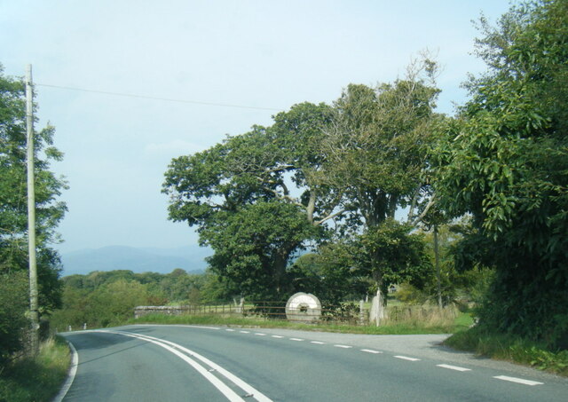
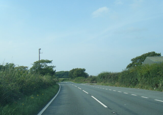
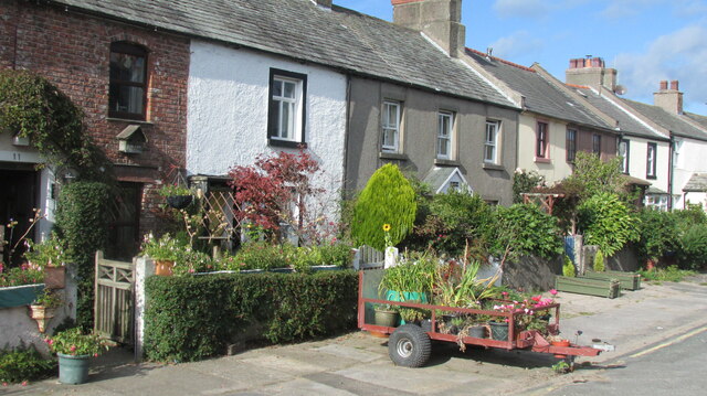
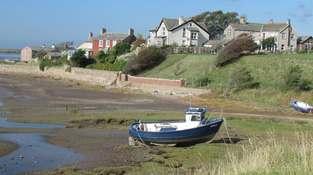
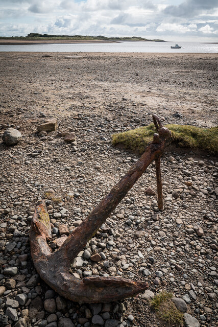
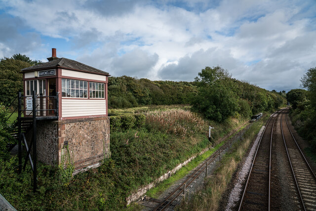
Half Acre Plantation Images
Images are sourced within 2km of 54.357098/-3.3949653 or Grid Reference SD0996. Thanks to Geograph Open Source API. All images are credited.


Half Acre Plantation is located at Grid Ref: SD0996 (Lat: 54.357098, Lng: -3.3949653)
Administrative County: Cumbria
District: Copeland
Police Authority: Cumbria
What 3 Words
///obstinate.skips.cups. Near Seascale, Cumbria
Nearby Locations
Related Wikis

Muncaster War Memorial
Muncaster War Memorial is a First World War memorial in the parish of Muncaster on the west coast of Cumbria in the far north-west of England. The memorial...
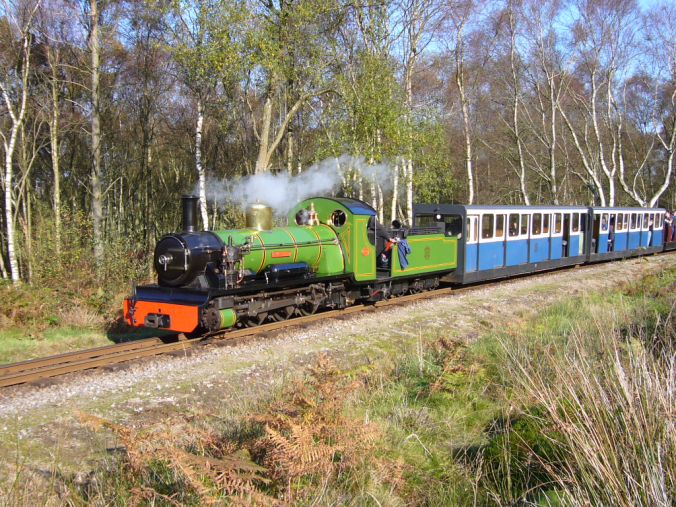
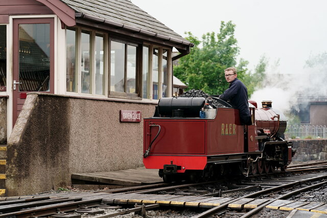
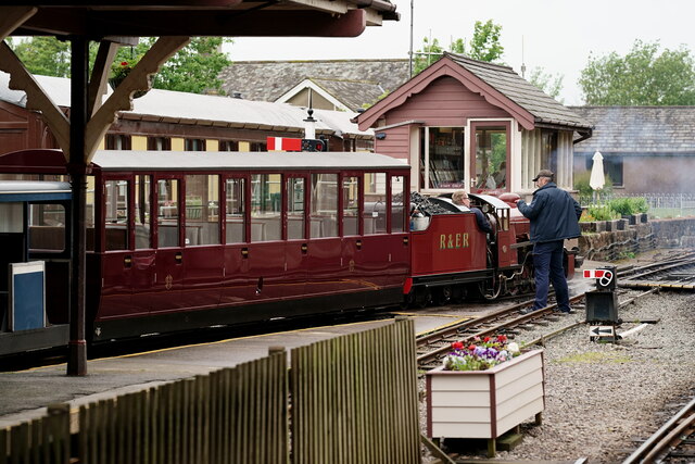
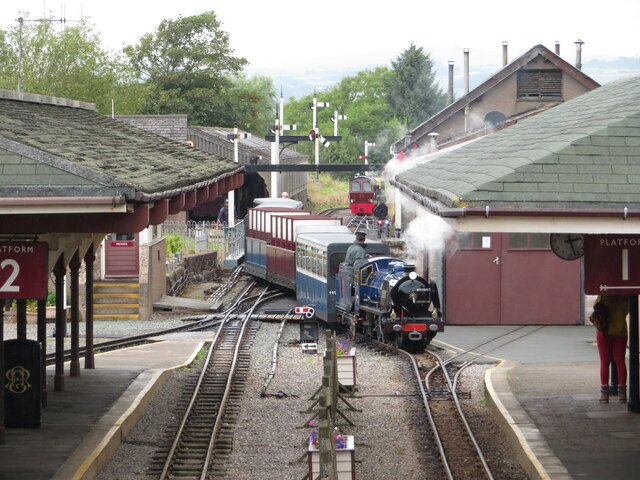
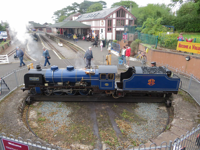
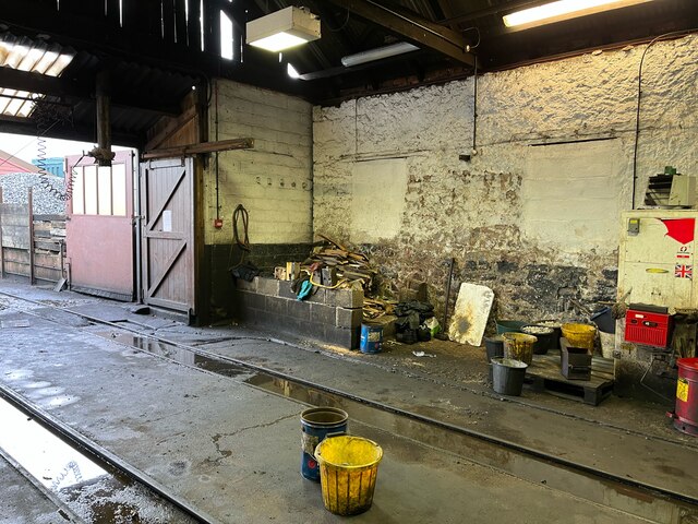
Ravenglass and Eskdale Railway
The Ravenglass and Eskdale Railway is a 15 in (381 mm) minimum gauge heritage railway in Cumbria, England. The 7-mile (11.3 km) line runs from Ravenglass...

Muncaster
Muncaster is a civil parish in Cumbria, North West England. The parish is 41 miles (66 km) south west of the city of Carlisle, in the Copeland district...

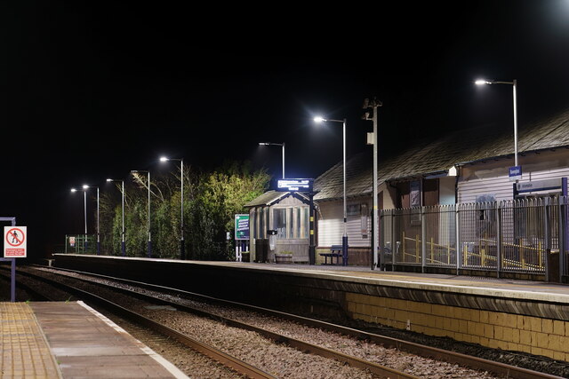
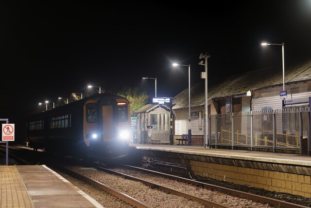
Ravenglass railway station
Ravenglass (also known as Ravenglass for Eskdale) is a railway station on the Cumbrian Coast Line, which runs between Carlisle and Barrow-in-Furness. The...
Nearby Amenities
Located within 500m of 54.357098,-3.3949653Have you been to Half Acre Plantation?
Leave your review of Half Acre Plantation below (or comments, questions and feedback).