Blearypate Coppice
Wood, Forest in Somerset Somerset West and Taunton
England
Blearypate Coppice

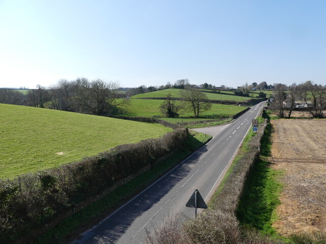
Blearypate Coppice is a charming woodland located in Somerset, England. Situated near the village of Blearypate, it covers an area of approximately 100 acres, making it a small yet picturesque forest. The coppice is nestled within the rolling hills and green landscapes of the Somerset countryside, offering a serene and tranquil atmosphere for visitors to enjoy.
The forest is predominantly composed of deciduous trees, with a mix of oak, beech, and birch trees dominating the area. These trees provide a dense canopy that filters sunlight, creating a dappled effect on the forest floor. The undergrowth consists of ferns, wildflowers, and moss, adding to the natural beauty of the woodland.
A network of well-maintained footpaths winds its way through Blearypate Coppice, allowing visitors to explore and appreciate its natural wonders. The paths lead to hidden clearings, where one can find peaceful spots to sit and soak in the beauty of nature. Birdwatchers will be delighted to discover a variety of avian species, including woodpeckers, song thrushes, and owls, making the coppice a haven for birdlife.
Blearypate Coppice is a popular destination for nature lovers, hikers, and photographers alike. Its serene ambiance and diverse flora and fauna attract visitors year-round. The forest also serves as an important ecosystem, providing habitats for various wildlife species and contributing to the overall health of the surrounding environment.
For those seeking a peaceful retreat in nature, Blearypate Coppice offers a slice of tranquility in the heart of Somerset. Whether it's a leisurely stroll, birdwatching, or simply enjoying the serenity of the woods, this charming forest provides an idyllic escape from the hustle and bustle of everyday life.
If you have any feedback on the listing, please let us know in the comments section below.
Blearypate Coppice Images
Images are sourced within 2km of 51.168507/-3.2967936 or Grid Reference ST0941. Thanks to Geograph Open Source API. All images are credited.


Blearypate Coppice is located at Grid Ref: ST0941 (Lat: 51.168507, Lng: -3.2967936)
Administrative County: Somerset
District: Somerset West and Taunton
Police Authority: Avon and Somerset
What 3 Words
///grunt.list.villager. Near Williton, Somerset
Nearby Locations
Related Wikis

Williton railway station
Williton railway station in Williton, Somerset, England, was opened by the West Somerset Railway in 1862 and closed by British Rail in 1971. It was reopened...

Williton
Williton is a large village and civil parish in Somerset, England, at the junction of the A39, A358 and B3191 roads, on the coast 2 miles (3.2 km) south...
Williton Rural District
Williton was a rural district in Somerset, England, from 1894 to 1974. It was created in 1894 under the Local Government Act 1894. In 1974 it was abolished...

Doniford Halt railway station
Doniford Halt railway station, sometimes known as Doniford Beach Halt, is a request stop situated on the West Somerset Railway, a heritage railway in...
Nearby Amenities
Located within 500m of 51.168507,-3.2967936Have you been to Blearypate Coppice?
Leave your review of Blearypate Coppice below (or comments, questions and feedback).