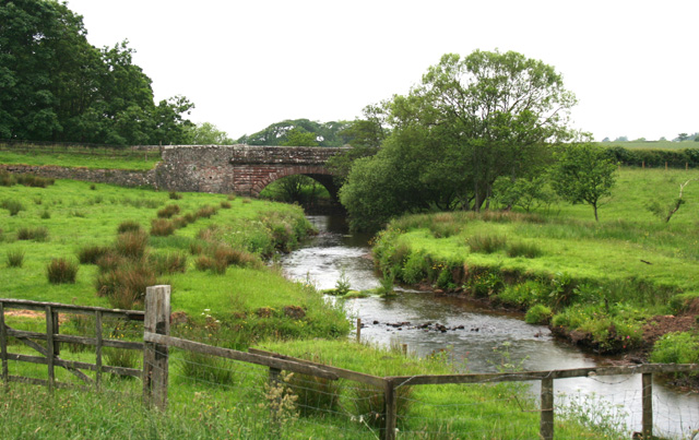
Cranklands Plantation
Wood, Forest in Cumberland Copeland
England
Cranklands Plantation

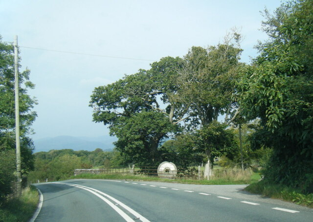
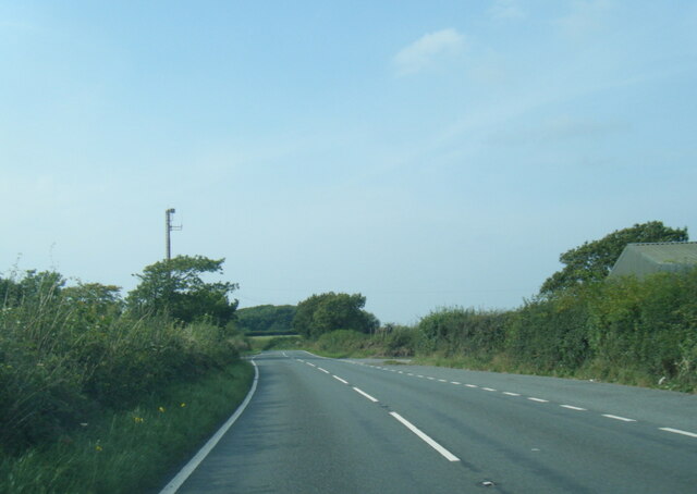
Cranklands Plantation, located in Cumberland, is a remarkable woodland area known for its diverse flora and fauna. Stretching across a vast expanse, the plantation covers several hundred acres of land and is a popular destination for nature enthusiasts and researchers alike.
The plantation is predominantly composed of dense forests, with towering trees such as oak, beech, and pine dominating the landscape. These trees provide a rich habitat for numerous species of birds, mammals, and insects. The diverse ecosystem of Cranklands Plantation supports a wide range of wildlife, including deer, foxes, badgers, and various species of birds such as owls, woodpeckers, and warblers.
Walking through the plantation, visitors can experience the tranquility of nature, with well-maintained trails leading them deeper into the forest. The plantation also features picnic areas, making it an ideal spot for families and friends to enjoy a day out in the countryside.
Cranklands Plantation not only serves as a recreational area but also plays a vital role in the local ecosystem. It acts as a carbon sink, absorbing carbon dioxide and releasing oxygen, contributing to the overall reduction of greenhouse gases. The plantation is also involved in sustainable forestry practices, ensuring the long-term health and productivity of the woodland.
In conclusion, Cranklands Plantation is a picturesque woodland area in Cumberland, offering a haven for wildlife and providing a peaceful retreat for visitors. Its diverse flora and fauna, along with its commitment to sustainability, make it a valuable asset to the local community and the environment as a whole.
If you have any feedback on the listing, please let us know in the comments section below.
Cranklands Plantation Images
Images are sourced within 2km of 54.359289/-3.3997949 or Grid Reference SD0996. Thanks to Geograph Open Source API. All images are credited.

Cranklands Plantation is located at Grid Ref: SD0996 (Lat: 54.359289, Lng: -3.3997949)
Administrative County: Cumbria
District: Copeland
Police Authority: Cumbria
What 3 Words
///swims.detained.heaven. Near Seascale, Cumbria
Nearby Locations
Related Wikis

Muncaster War Memorial
Muncaster War Memorial is a First World War memorial in the parish of Muncaster on the west coast of Cumbria in the far north-west of England. The memorial...
River Mite
The River Mite is a river in the county of Cumbria in northern England. The valley through which the river Mite runs is called Miterdale. The name Mite...

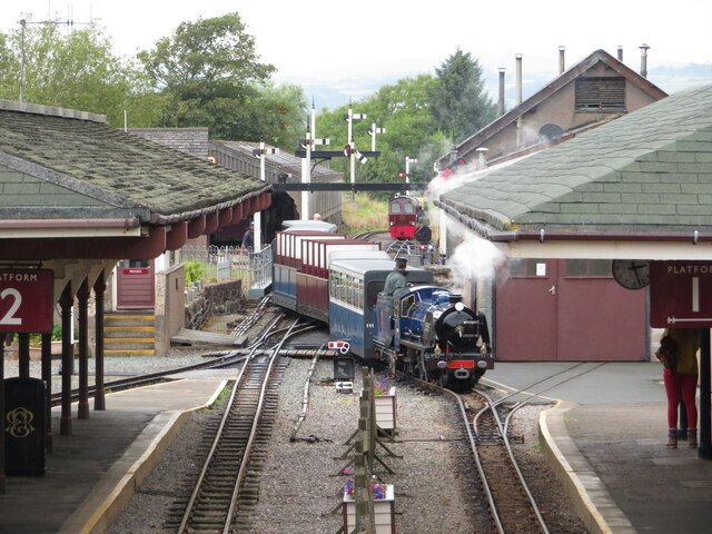
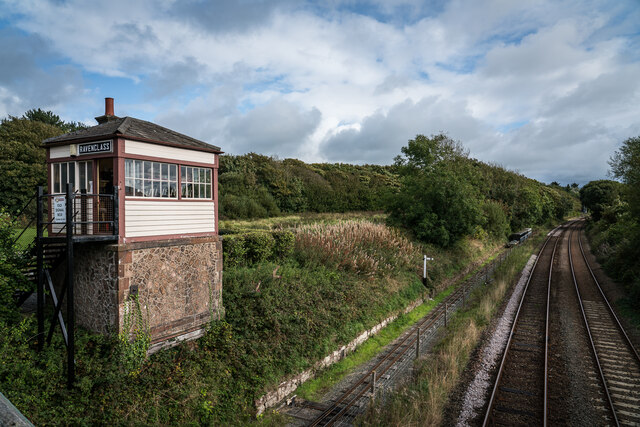
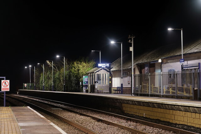
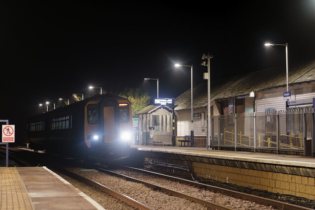
Ravenglass railway station
Ravenglass (also known as Ravenglass for Eskdale) is a railway station on the Cumbrian Coast Line, which runs between Carlisle and Barrow-in-Furness. The...
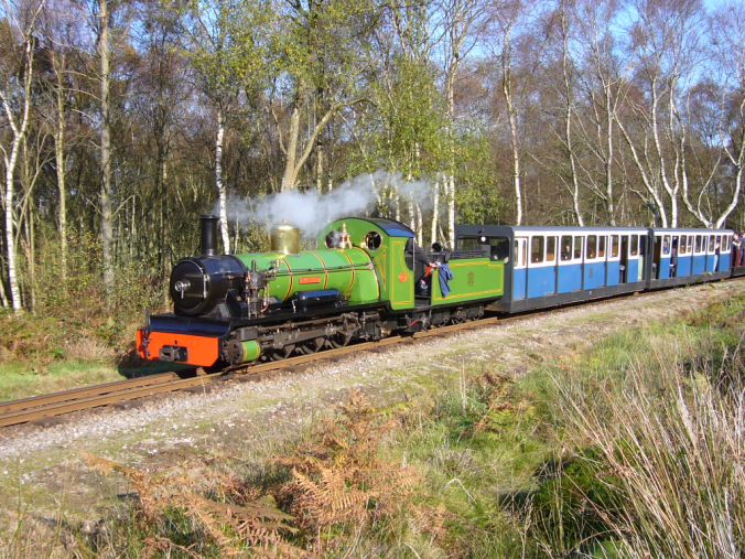
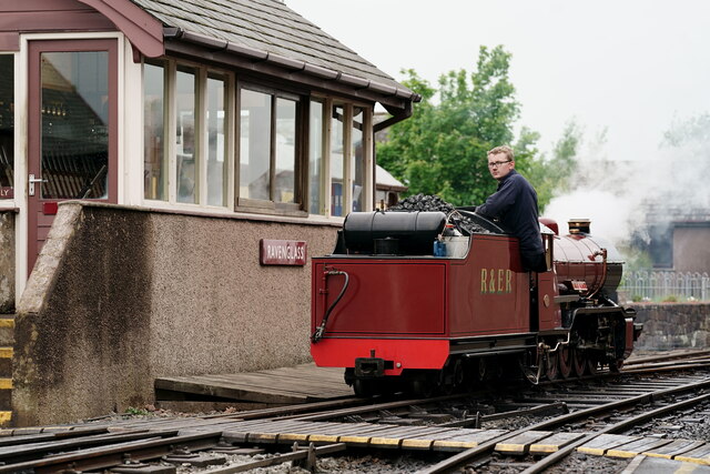
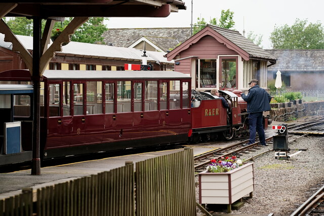
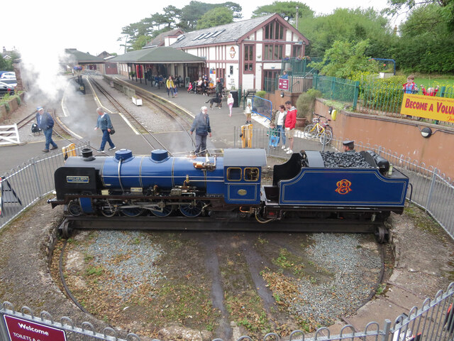
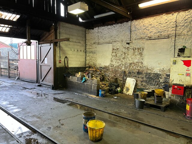
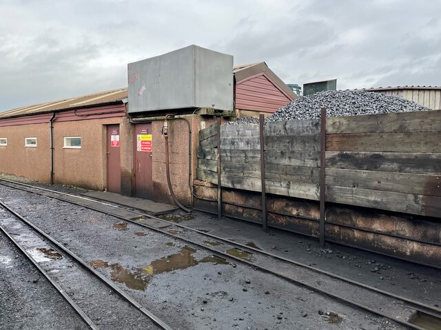
Ravenglass and Eskdale Railway
The Ravenglass and Eskdale Railway is a 15 in (381 mm) minimum gauge heritage railway in Cumbria, England. The 7-mile (11.3 km) line runs from Ravenglass...
Nearby Amenities
Located within 500m of 54.359289,-3.3997949Have you been to Cranklands Plantation?
Leave your review of Cranklands Plantation below (or comments, questions and feedback).