Grove Plantation
Wood, Forest in Cumberland Copeland
England
Grove Plantation

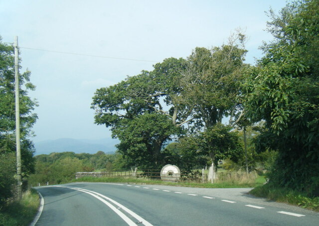
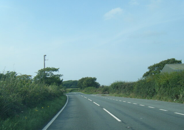
Grove Plantation, located in Cumberland, is a scenic and historic site known for its rich woodlands and sprawling forest. The plantation spans over a vast area, offering visitors a serene and natural environment to explore and appreciate.
The plantation is renowned for its diverse range of trees, including oak, pine, and maple, which contribute to the lush forest that covers the area. This has made it a popular destination for nature enthusiasts and hikers, who are drawn to the peaceful atmosphere and stunning scenery.
Beyond its natural beauty, Grove Plantation also holds historical significance. The site was originally established as a working plantation in the 18th century, with its main focus on the cultivation of tobacco and other crops. Today, remnants of the plantation's past can still be seen in the form of preserved buildings and structures, such as the plantation house and the original slave quarters.
Visitors to Grove Plantation have the opportunity to explore these historic landmarks, gaining insight into the region's plantation era and the lives of those who lived and worked there. Additionally, guided tours and educational programs are available to provide a deeper understanding of the plantation's history and its significance within the broader context of the Cumberland region.
Overall, Grove Plantation in Cumberland offers a unique blend of natural beauty and historical significance, making it a must-visit destination for those seeking both tranquility and a connection to the area's past.
If you have any feedback on the listing, please let us know in the comments section below.
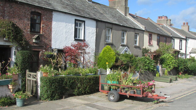
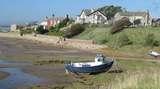
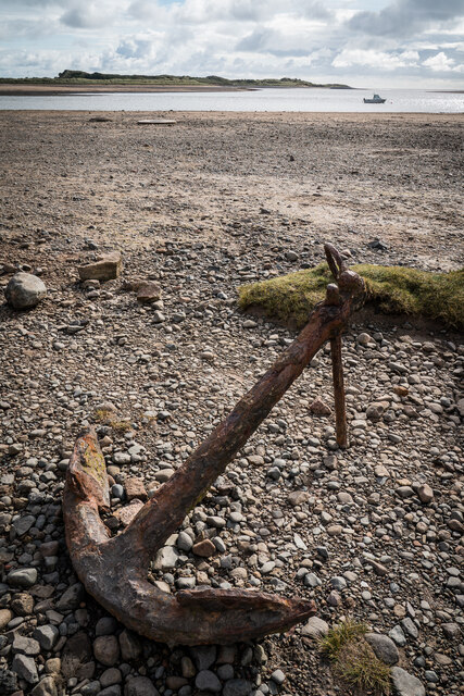
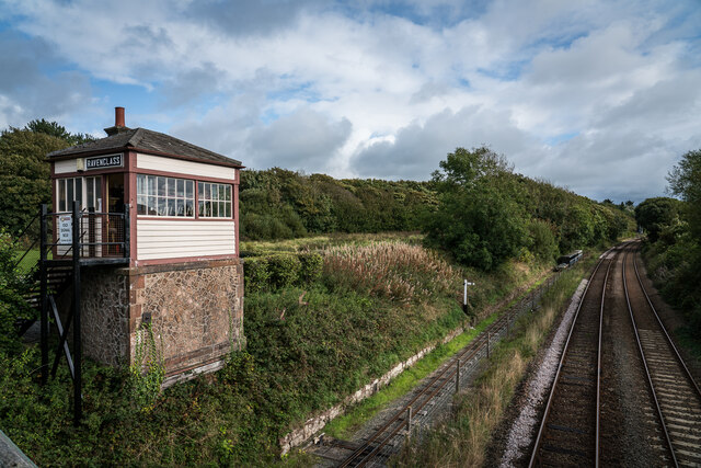
Grove Plantation Images
Images are sourced within 2km of 54.356349/-3.39831 or Grid Reference SD0996. Thanks to Geograph Open Source API. All images are credited.


Grove Plantation is located at Grid Ref: SD0996 (Lat: 54.356349, Lng: -3.39831)
Administrative County: Cumbria
District: Copeland
Police Authority: Cumbria
What 3 Words
///coining.claps.processor. Near Seascale, Cumbria
Nearby Locations
Related Wikis

Muncaster War Memorial
Muncaster War Memorial is a First World War memorial in the parish of Muncaster on the west coast of Cumbria in the far north-west of England. The memorial...
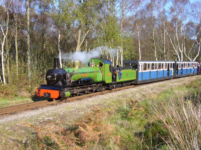
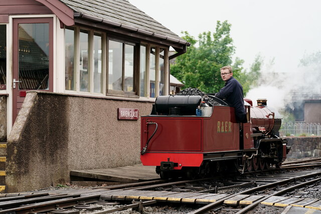
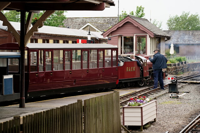
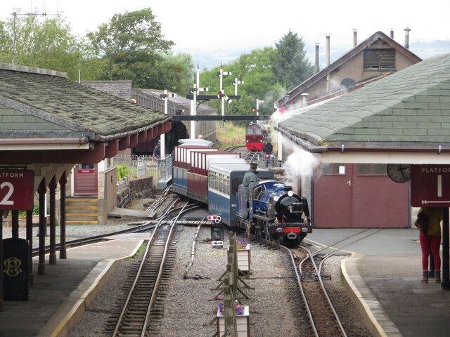
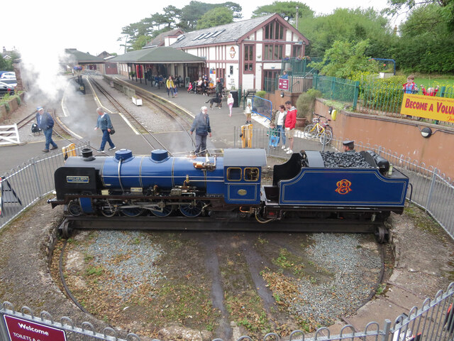
Ravenglass and Eskdale Railway
The Ravenglass and Eskdale Railway is a 15 in (381 mm) minimum gauge heritage railway in Cumbria, England. The 7-mile (11.3 km) line runs from Ravenglass...

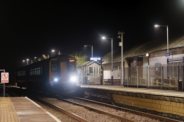
Ravenglass railway station
Ravenglass (also known as Ravenglass for Eskdale) is a railway station on the Cumbrian Coast Line, which runs between Carlisle and Barrow-in-Furness. The...
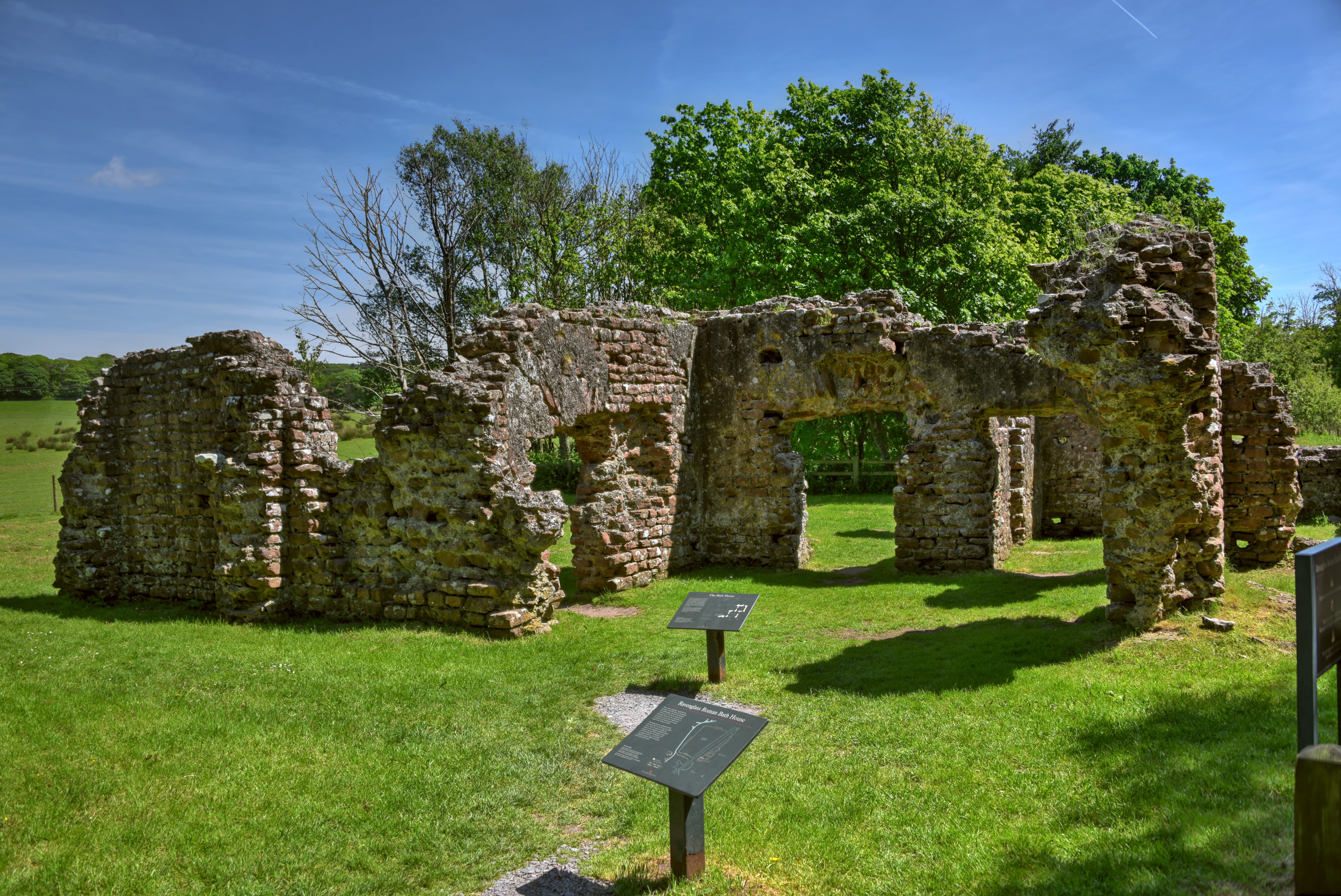
Ravenglass Roman Bath House
Ravenglass Roman Bath House (also known as Walls Castle) is a ruined ancient Roman bath house at Ravenglass, Cumbria, England. Belonging to a 2nd-century...
Nearby Amenities
Located within 500m of 54.356349,-3.39831Have you been to Grove Plantation?
Leave your review of Grove Plantation below (or comments, questions and feedback).