Mass Copse

Wood, Forest in Devon Mid Devon

England

Mass Copse

Butterleigh : St Matthew's Church People are dragging the bells out for restoration.
Butterleigh : St Matthew's Church Credit: Lewis Clarke

Mass Copse is a picturesque woodland located in the county of Devon, England. This enchanting forest covers an area of approximately 100 acres and is nestled in the heart of the Devonshire countryside. It is situated near the village of Newton Ferrers, just a short distance from the coast of the English Channel.

The copse is predominantly made up of native broad-leaved trees, such as oak, beech, and ash, which create a lush and diverse ecosystem. The woodland floor is adorned with a rich carpet of ferns, bluebells, and wildflowers, adding to the area's natural charm. The dense canopy overhead provides a cool and tranquil atmosphere, making it a popular destination for nature lovers and walkers seeking respite from the hustle and bustle of everyday life.

Mass Copse is also home to a wide variety of wildlife, including deer, badgers, and numerous species of birds. Birdwatchers flock to the area to catch a glimpse of rare and migratory species that make the copse their temporary home.

Visitors can explore the woodland via a network of well-maintained footpaths and trails, which offer stunning views of the surrounding countryside. There are also picnic areas and benches scattered throughout the copse, providing the perfect spot to relax and soak up the peaceful ambiance.

Mass Copse is a true haven for nature enthusiasts and offers a wonderful opportunity to immerse oneself in the beauty of Devon's countryside. Whether it's a leisurely stroll, birdwatching, or simply enjoying a picnic, this woodland gem has something to offer for everyone.

If you have any feedback on the listing, please let us know in the comments section below.
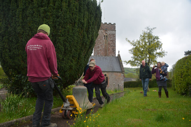
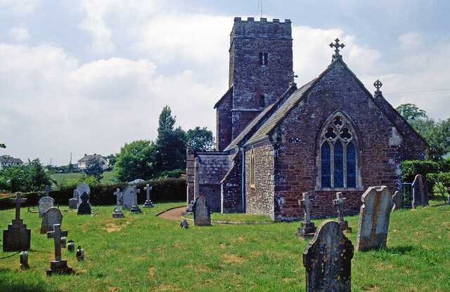
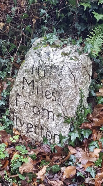
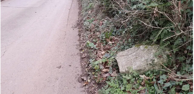
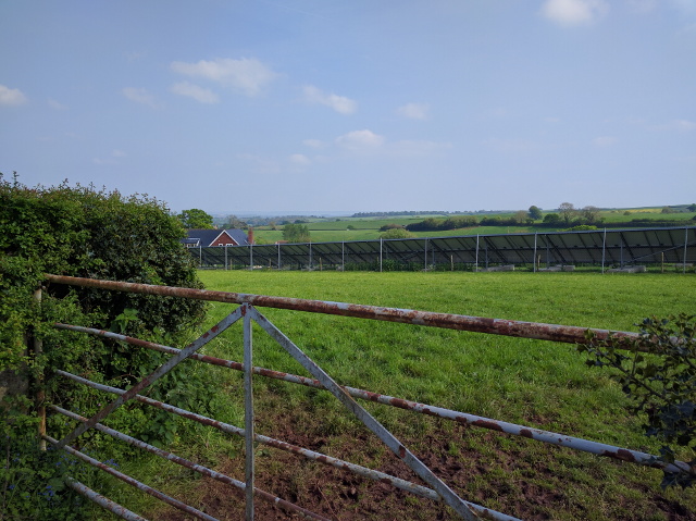
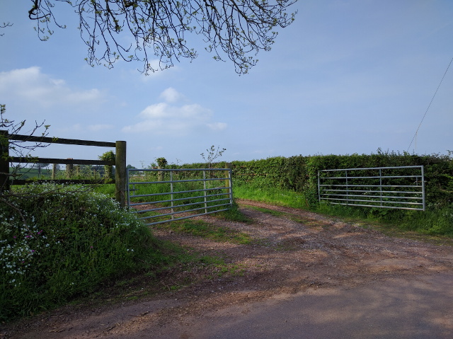
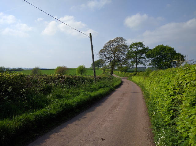
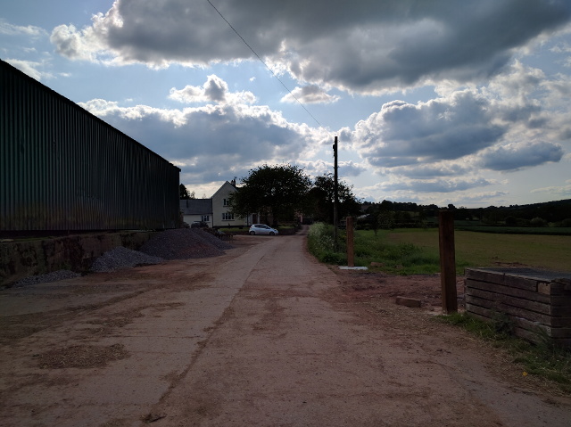
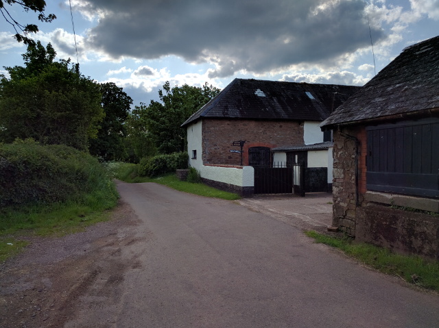
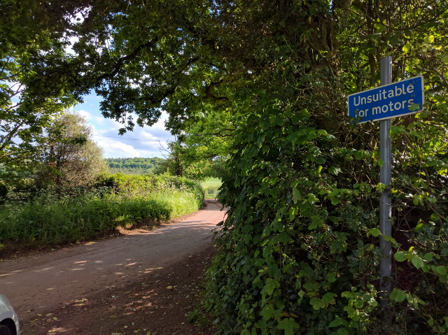
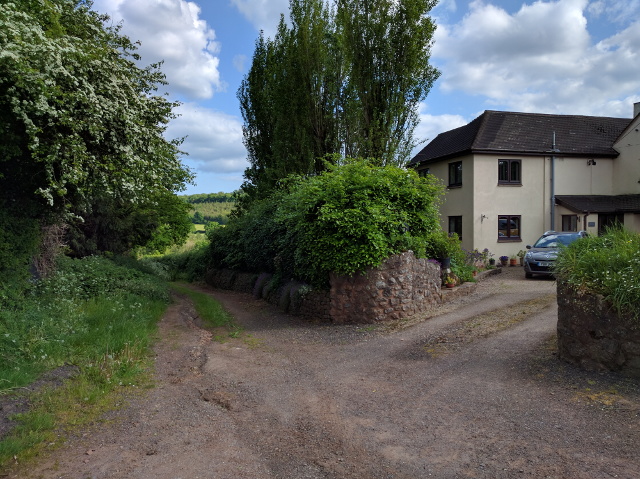
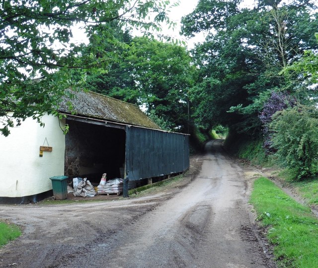
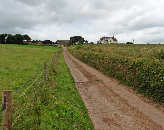
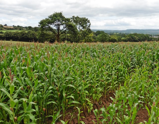
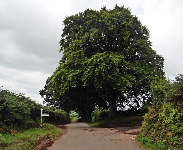
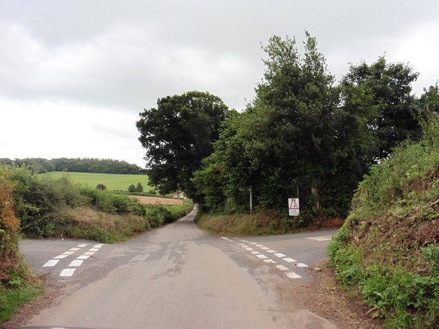
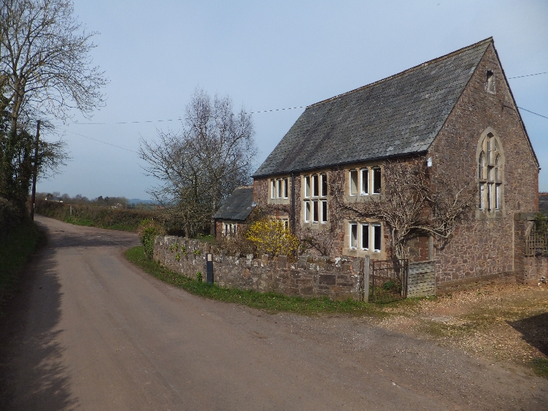
Mass Copse Images

Images are sourced within 2km of 50.864731/-3.4368144 or Grid Reference SS9808. Thanks to Geograph Open Source API. All images are credited.

Butterleigh : St Matthew's Church People are dragging the bells out for restoration.
Butterleigh : St Matthew's Church
People are dragging the bells out for restoration.
Butterleigh Church The oldest part of St Matthew's Church is the tower, dating from the 13th century. Apart from that, the church was rebuilt in 1861 although the architect is unknown. The building is grade II* listed.
Butterleigh Church
The oldest part of St Matthew's Church is the tower, dating from the 13th century. Apart from that, the church was rebuilt in 1861 although the architect is unknown. The building is grade II* listed.
Old Milestone by Old Exeter Road, west of Butterleigh Carved stone post by the UC road, in parish of Butterleigh (Mid Devon District), Old Exeter Road, beside Hillside Cottage, in bank at entrance to drive, on East side of road. Old Tiverton stone, erected by the Tiverton turnpike trust in the 18th century. An earlier photograph can be found here <a title="https://www.geograph.org.uk/photo/6035693" href="https://www.geograph.org.uk/photo/6035693">Link</a>.

Inscription reads:-
III
Miles
From
Tiverton

Devon & Dartmoor HER listed. HER Number: MDV76450 <span class="nowrap"><a title="https://www.heritagegateway.org.uk/Gateway/Results_Single.aspx?uid=MDV76450&resourceID=104" rel="nofollow ugc noopener" href="https://www.heritagegateway.org.uk/Gateway/Results_Single.aspx?uid=MDV76450&resourceID=104">Link</a><img style="margin-left:2px;" alt="External link" title="External link - shift click to open in new window" src="https://s1.geograph.org.uk/img/external.png" width="10" height="10"/></span>

Milestone Society National ID: DV_TTEX03
Old Milestone by Old Exeter Road, west of Butterleigh
Carved stone post by the UC road, in parish of Butterleigh (Mid Devon District), Old Exeter Road, beside Hillside Cottage, in bank at entrance to drive, on East side of road. Old Tiverton stone, erected by the Tiverton turnpike trust in the 18th century. An earlier photograph can be found here Link. Inscription reads:- III Miles From Tiverton Devon & Dartmoor HER listed. HER Number: MDV76450 LinkExternal link Milestone Society National ID: DV_TTEX03
Old Milestone by Old Exeter Road, west of Butterleigh Carved stone post by the UC road, in parish of Butterleigh (Mid Devon District), Old Exeter Road, beside Hillside Cottage, in bank at entrance to drive, on East side of road. Old Tiverton stone, erected by the Tiverton turnpike trust in the 18th century. An earlier photograph can be found here <a title="https://www.geograph.org.uk/photo/7557160" href="https://www.geograph.org.uk/photo/7557160">Link</a>.

Inscription reads:-
III
Miles
From
Tiverton

Devon & Dartmoor HER listed. HER Number: MDV76450 <span class="nowrap"><a title="https://www.heritagegateway.org.uk/Gateway/Results_Single.aspx?uid=MDV76450&resourceID=104" rel="nofollow ugc noopener" href="https://www.heritagegateway.org.uk/Gateway/Results_Single.aspx?uid=MDV76450&resourceID=104">Link</a><img style="margin-left:2px;" alt="External link" title="External link - shift click to open in new window" src="https://s1.geograph.org.uk/img/external.png" width="10" height="10"/></span>

Milestone Society National ID: DV_TTEX03
Old Milestone by Old Exeter Road, west of Butterleigh
Carved stone post by the UC road, in parish of Butterleigh (Mid Devon District), Old Exeter Road, beside Hillside Cottage, in bank at entrance to drive, on East side of road. Old Tiverton stone, erected by the Tiverton turnpike trust in the 18th century. An earlier photograph can be found here Link. Inscription reads:- III Miles From Tiverton Devon & Dartmoor HER listed. HER Number: MDV76450 LinkExternal link Milestone Society National ID: DV_TTEX03
Solar panels in a field at Sunnyburrow Farm
Farm track near Sunnyburrow farm
Lane near Halsewood Farm, looking north
Farm buildings and house off Forges Hill
Way Mill
Way Mill
Lane to East Butterleigh
House and track at East Butterleigh
Lower Ford Farm
Lower Ford Farm
Access road, Higher Ford Farm
Maize crop near Higher Ford
Sawmill Cross
Sawmill Cross
Butterleigh Cross
Butterleigh Cross
Terraced cottages, Butterleigh
Force Cross
Force Cross
Show me another place!

Mass Copse is located at Grid Ref: SS9808 (Lat: 50.864731, Lng: -3.4368144)

Administrative County: Devon

District: Mid Devon

Police Authority: Devon and Cornwall

What 3 Words

///enacted.sectors.songbirds. Near Cullompton, Devon

Related Wikis

Hillersdon House

Hillersdon House in the parish of Cullompton in Devon, is a grade II* listed late Georgian style manor house overlooking that town. It was built in 1848...

Butterleigh

Butterleigh is a village and civil parish in Mid Devon, England situated about three miles south east of Tiverton. The village includes a public house...

Ash Thomas

Ash Thomas is a village in Devon, England.Ash Thomas was listed in the Domesday Book of 1086.There is a village hall in Ash Thomas. == References... ==

Cullompton

Cullompton () is a town and civil parish in the district of Mid Devon and the county of Devon, England. It is 13 miles (21 km) north-east of Exeter and...

Cullompton Community College

Cullompton Community College is a coeducational foundation secondary school located in Cullompton in the county of Devon.First established in 1872, the...

Cullompton services

Cullompton services is a motorway service station on the M5 motorway near Exeter. It is owned by Extra MSA. It has a McDonald's restaurant which is franchised...

Cullompton Rangers F.C.

Cullompton Rangers Football Club is a football club based in Cullompton, Devon, England. They are currently members of the South West Peninsula League...

Bradninch

Bradninch is a small town, civil parish and manor in Devon, England, lying about 3 mi (5 km) south of Cullompton. Much of the surrounding farmland belongs...

Nearby Amenities

Located within 500m of 50.864731,-3.4368144
The data included in this document is from www.openstreetmap.org. The data is made available under ODbL.

Have you been to Mass Copse?

Leave your review of Mass Copse below (or comments, questions and feedback).