Bening's Wood

Wood, Forest in Devon Mid Devon

England

Bening's Wood

Butterleigh : St Matthew's Church People are dragging the bells out for restoration.
Butterleigh : St Matthew's Church Credit: Lewis Clarke

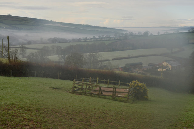
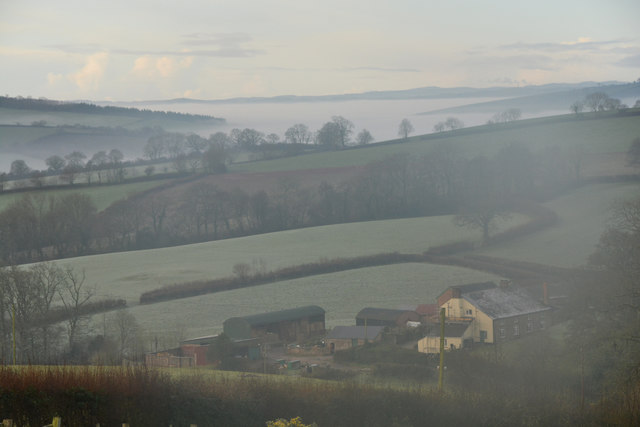
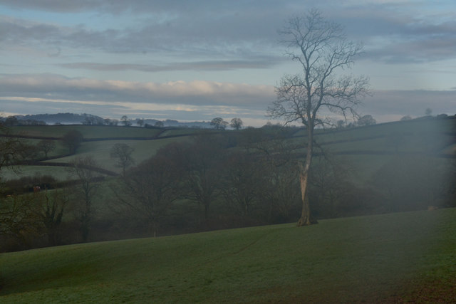
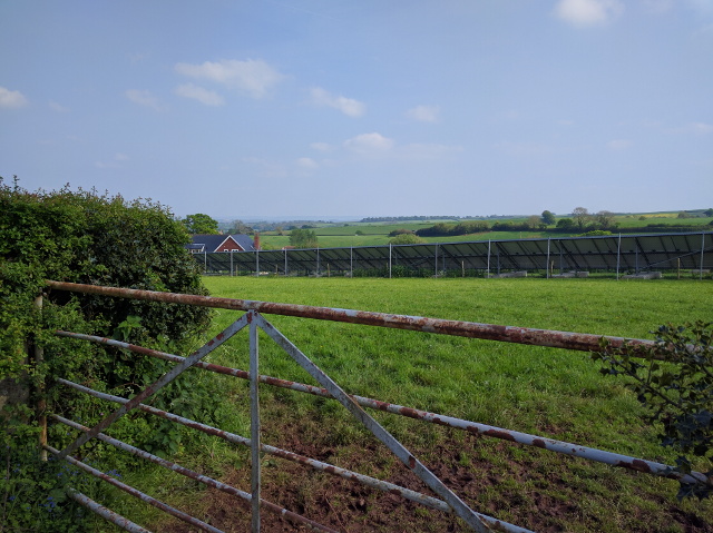
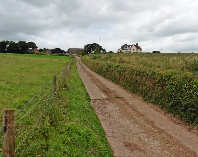
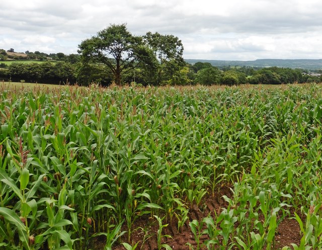
Bening's Wood is a picturesque forest located in Devon, England. Covering an area of approximately 100 acres, it is a popular destination for nature lovers and outdoor enthusiasts. The wood is characterized by its diverse range of tree species, including oak, beech, birch, and ash, which create a stunning display of colors during the autumn months.

The forest is home to a variety of wildlife, making it an ideal spot for birdwatching and animal spotting. Visitors may catch sight of deer, foxes, badgers, and a plethora of bird species such as woodpeckers, owls, and finches. Bening's Wood is also known for its rich biodiversity, with numerous plant species, wildflowers, and fungi thriving in its peaceful ambiance.

Walking trails wind through the wood, providing visitors with the opportunity to explore its beauty up close. The paths are well-maintained and suitable for all ages and fitness levels. Additionally, there are several picnic areas scattered throughout the forest, offering a tranquil setting for a leisurely lunch amidst nature.

Bening's Wood is a designated Site of Special Scientific Interest (SSSI), reflecting its importance for conservation and preservation. The management of the forest aims to maintain its ecological balance and protect its unique flora and fauna.

Whether it's a peaceful walk, a chance to reconnect with nature, or an opportunity to immerse oneself in the beauty of the English countryside, Bening's Wood is a must-visit destination for those seeking a serene and enchanting woodland experience in Devon.

If you have any feedback on the listing, please let us know in the comments section below.

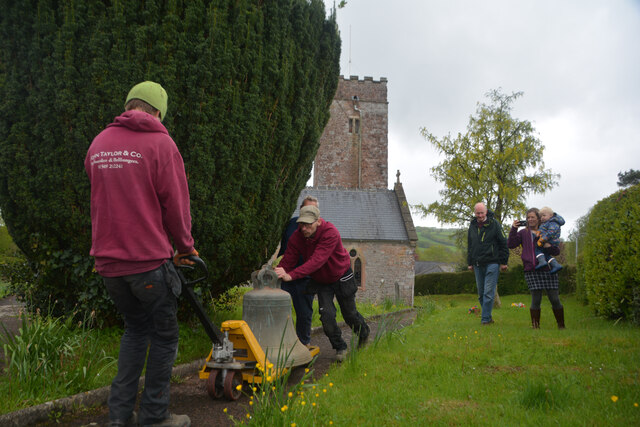
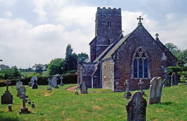
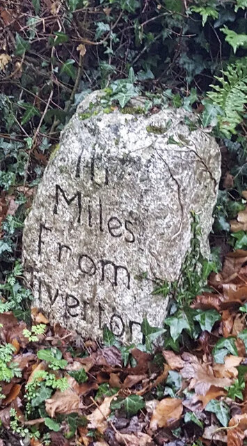
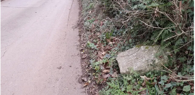
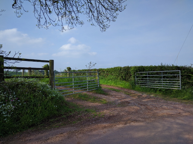
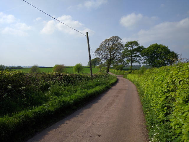
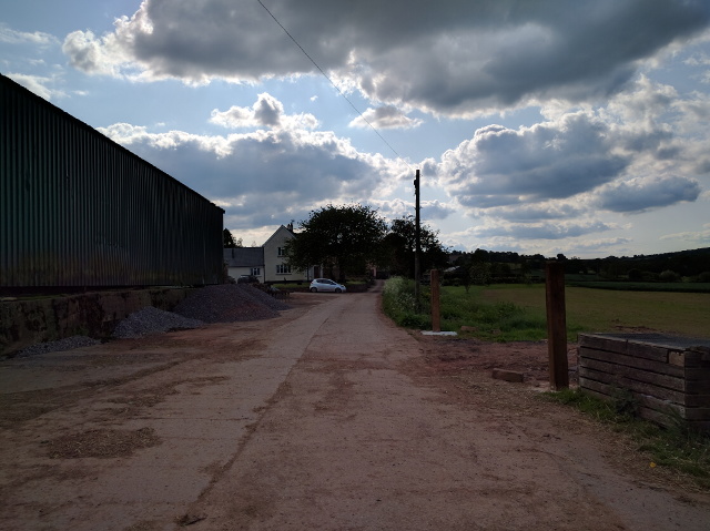
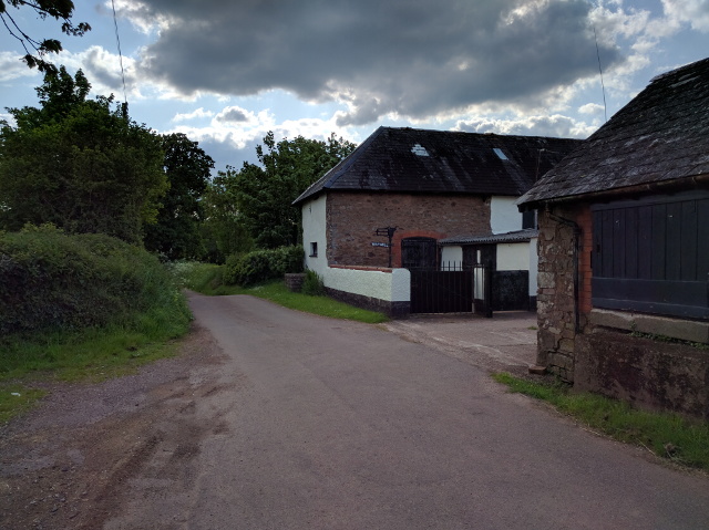
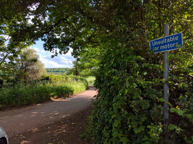
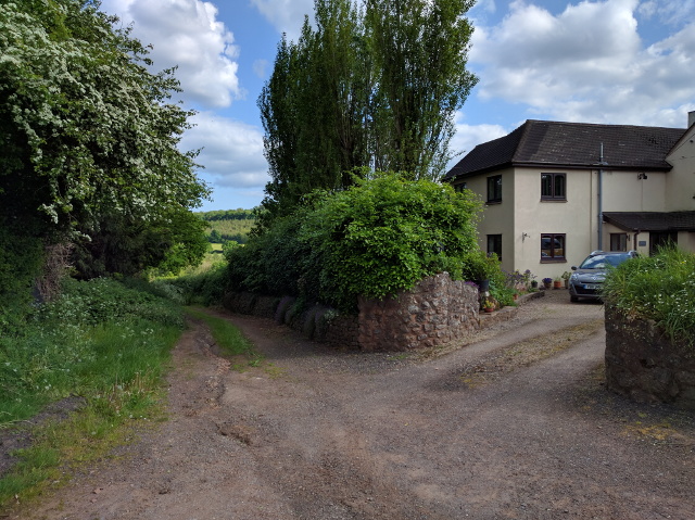
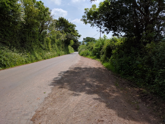
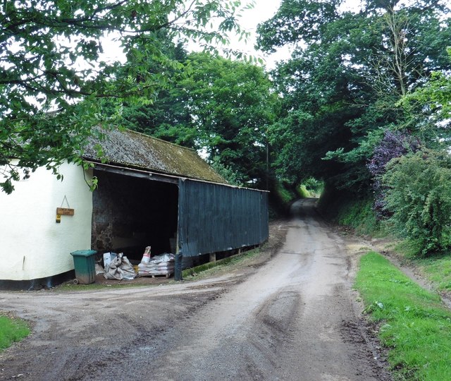
Bening's Wood Images

Images are sourced within 2km of 50.869214/-3.4400363 or Grid Reference SS9808. Thanks to Geograph Open Source API. All images are credited.

Butterleigh : St Matthew's Church People are dragging the bells out for restoration.
Butterleigh : St Matthew's Church
People are dragging the bells out for restoration.
Butterleigh Church The oldest part of St Matthew's Church is the tower, dating from the 13th century. Apart from that, the church was rebuilt in 1861 although the architect is unknown. The building is grade II* listed.
Butterleigh Church
The oldest part of St Matthew's Church is the tower, dating from the 13th century. Apart from that, the church was rebuilt in 1861 although the architect is unknown. The building is grade II* listed.
Old Milestone by Old Exeter Road, west of Butterleigh Carved stone post by the UC road, in parish of Butterleigh (Mid Devon District), Old Exeter Road, beside Hillside Cottage, in bank at entrance to drive, on East side of road. Old Tiverton stone, erected by the Tiverton turnpike trust in the 18th century. An earlier photograph can be found here <a title="https://www.geograph.org.uk/photo/6035693" href="https://www.geograph.org.uk/photo/6035693">Link</a>.

Inscription reads:-
III
Miles
From
Tiverton

Devon & Dartmoor HER listed. HER Number: MDV76450 <span class="nowrap"><a title="https://www.heritagegateway.org.uk/Gateway/Results_Single.aspx?uid=MDV76450&resourceID=104" rel="nofollow ugc noopener" href="https://www.heritagegateway.org.uk/Gateway/Results_Single.aspx?uid=MDV76450&resourceID=104">Link</a><img style="margin-left:2px;" alt="External link" title="External link - shift click to open in new window" src="https://s1.geograph.org.uk/img/external.png" width="10" height="10"/></span>

Milestone Society National ID: DV_TTEX03
Old Milestone by Old Exeter Road, west of Butterleigh
Carved stone post by the UC road, in parish of Butterleigh (Mid Devon District), Old Exeter Road, beside Hillside Cottage, in bank at entrance to drive, on East side of road. Old Tiverton stone, erected by the Tiverton turnpike trust in the 18th century. An earlier photograph can be found here Link. Inscription reads:- III Miles From Tiverton Devon & Dartmoor HER listed. HER Number: MDV76450 LinkExternal link Milestone Society National ID: DV_TTEX03
Old Milestone by Old Exeter Road, west of Butterleigh Carved stone post by the UC road, in parish of Butterleigh (Mid Devon District), Old Exeter Road, beside Hillside Cottage, in bank at entrance to drive, on East side of road. Old Tiverton stone, erected by the Tiverton turnpike trust in the 18th century. An earlier photograph can be found here <a title="https://www.geograph.org.uk/photo/7557160" href="https://www.geograph.org.uk/photo/7557160">Link</a>.

Inscription reads:-
III
Miles
From
Tiverton

Devon & Dartmoor HER listed. HER Number: MDV76450 <span class="nowrap"><a title="https://www.heritagegateway.org.uk/Gateway/Results_Single.aspx?uid=MDV76450&resourceID=104" rel="nofollow ugc noopener" href="https://www.heritagegateway.org.uk/Gateway/Results_Single.aspx?uid=MDV76450&resourceID=104">Link</a><img style="margin-left:2px;" alt="External link" title="External link - shift click to open in new window" src="https://s1.geograph.org.uk/img/external.png" width="10" height="10"/></span>

Milestone Society National ID: DV_TTEX03
Old Milestone by Old Exeter Road, west of Butterleigh
Carved stone post by the UC road, in parish of Butterleigh (Mid Devon District), Old Exeter Road, beside Hillside Cottage, in bank at entrance to drive, on East side of road. Old Tiverton stone, erected by the Tiverton turnpike trust in the 18th century. An earlier photograph can be found here Link. Inscription reads:- III Miles From Tiverton Devon & Dartmoor HER listed. HER Number: MDV76450 LinkExternal link Milestone Society National ID: DV_TTEX03
Mid Devon : Countryside Scenery Looking out across the countryside of Mid Devon.
Mid Devon : Countryside Scenery
Looking out across the countryside of Mid Devon.
Mid Devon : Countryside Scenery Distant hillside mist can be seen from here.
Mid Devon : Countryside Scenery
Distant hillside mist can be seen from here.
Mid Devon : Grassy Field A grassy field in the Mid Devon countryside.
Mid Devon : Grassy Field
A grassy field in the Mid Devon countryside.
Solar panels in a field at Sunnyburrow Farm
Farm track near Sunnyburrow farm
Lane near Halsewood Farm, looking north
Farm buildings and house off Forges Hill
Way Mill
Way Mill
Lane to East Butterleigh
House and track at East Butterleigh
Layby on the lane into Butterleigh
Lower Ford Farm
Lower Ford Farm
Access road, Higher Ford Farm
Maize crop near Higher Ford
Show me another place!

Bening's Wood is located at Grid Ref: SS9808 (Lat: 50.869214, Lng: -3.4400363)

Administrative County: Devon

District: Mid Devon

Police Authority: Devon and Cornwall

What 3 Words

///flickers.developer.boil. Near Cullompton, Devon

Related Wikis

Hillersdon House

Hillersdon House in the parish of Cullompton in Devon, is a grade II* listed late Georgian style manor house overlooking that town. It was built in 1848...

Butterleigh

Butterleigh is a village and civil parish in Mid Devon, England situated about three miles south east of Tiverton. The village includes a public house...

Ash Thomas

Ash Thomas is a village in Devon, England.Ash Thomas was listed in the Domesday Book of 1086.There is a village hall in Ash Thomas. == References... ==

Halberton Halt railway station

Halberton Halt railway station served the village of Halberton, Devon, England, from 1927 to 1964 on the Tiverton branch line. == History == The station...

Cullompton

Cullompton () is a town and civil parish in the district of Mid Devon and the county of Devon, England. It is 13 miles (21 km) north-east of Exeter and...

Cullompton Community College

Cullompton Community College is a coeducational foundation secondary school located in Cullompton in the county of Devon.First established in 1872, the...

Cullompton services

Cullompton services is a motorway service station on the M5 motorway near Exeter. It is owned by Extra MSA. It has a McDonald's restaurant which is franchised...

Cullompton Rangers F.C.

Cullompton Rangers Football Club is a football club based in Cullompton, Devon, England. They are currently members of the South West Peninsula League...

Nearby Amenities

Located within 500m of 50.869214,-3.4400363
Post Box
Post Box Type: wall
Ref: EX15 1
Royal Cypher: VR
Royal Cypher Wikidata: Q33102356
Lat/Long: 50.8711732/-3.4447823
Brand: National Grid
Brand Wikidata: Q1465461
Material: wood
Operator: National Grid Electricity Distribution
Operator Old: Western Power Distribution
Operator Wikidata: Q7988183
Owner: National Grid Electricity Distribution (South West) Plc
Owner Wikidata: Q114397866
Power: pole
Source: bing
Lat/Long: 50.8695242/-3.4393189
Brand: National Grid
Brand Wikidata: Q1465461
Material: wood
Operator: National Grid Electricity Distribution
Operator Old: Western Power Distribution
Operator Wikidata: Q7988183
Owner: National Grid Electricity Distribution (South West) Plc
Owner Wikidata: Q114397866
Power: pole
Source: bing
Lat/Long: 50.869751/-3.437739
Brand: National Grid
Brand Wikidata: Q1465461
Material: wood
Operator: National Grid Electricity Distribution
Operator Old: Western Power Distribution
Operator Wikidata: Q7988183
Owner: National Grid Electricity Distribution (South West) Plc
Owner Wikidata: Q114397866
Power: pole
Source: bing
Lat/Long: 50.8699388/-3.4365401
Brand: National Grid
Brand Wikidata: Q1465461
Material: wood
Operator: National Grid Electricity Distribution
Operator Old: Western Power Distribution
Operator Wikidata: Q7988183
Owner: National Grid Electricity Distribution (South West) Plc
Owner Wikidata: Q114397866
Power: pole
Source: bing
Lat/Long: 50.8701995/-3.4346142
Power: pole
Source: bing
Transformer: distribution
Lat/Long: 50.8690713/-3.4397735
Power: pole
Source: bing
Lat/Long: 50.870169/-3.4421124
Power: pole
Source: bing
Lat/Long: 50.8696308/-3.4409644
Power: pole
Source: bing
Lat/Long: 50.8692897/-3.4409966
Power: pole
Source: bing
Lat/Long: 50.8687624/-3.4447664
Power: pole
Source: bing
Lat/Long: 50.8681429/-3.4464321
Power: pole
Source: bing
Lat/Long: 50.8709155/-3.4416255
Power: pole
Source: bing
Transformer: distribution
Lat/Long: 50.869475/-3.4459412
Power: pole
Source: bing
Transformer: distribution
Lat/Long: 50.8711677/-3.4442112
Power: pole
Source: bing
Lat/Long: 50.8735865/-3.4398633
Power: pole
Source: bing
Lat/Long: 50.8728705/-3.4403488
Power: pole
Source: bing
Lat/Long: 50.8722171/-3.4407565
Power: pole
Source: bing
Lat/Long: 50.8716078/-3.4411722
Power: pole
Source: bing
Lat/Long: 50.8707022/-3.4432134
Power: pole
Source: bing
Lat/Long: 50.8701022/-3.4445626
East Butterleigh
Place: hamlet
Lat/Long: 50.8703273/-3.4467982
The data included in this document is from www.openstreetmap.org. The data is made available under ODbL.

Have you been to Bening's Wood?

Leave your review of Bening's Wood below (or comments, questions and feedback).