Shepherd's Moor

Wood, Forest in Devon Mid Devon

England

Shepherd's Moor

Butterleigh : St Matthew's Church People are dragging the bells out for restoration.
Butterleigh : St Matthew's Church Credit: Lewis Clarke

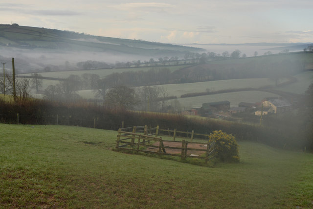
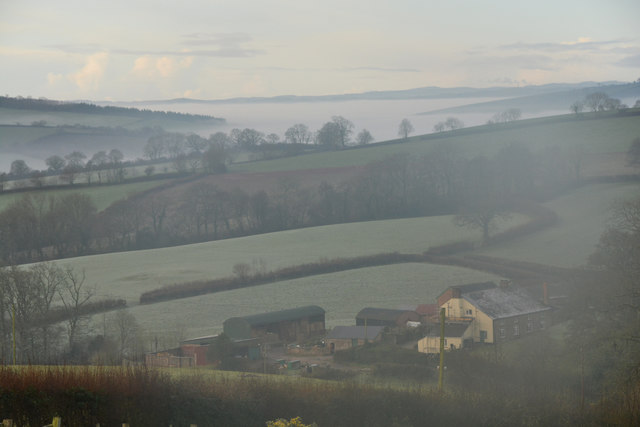
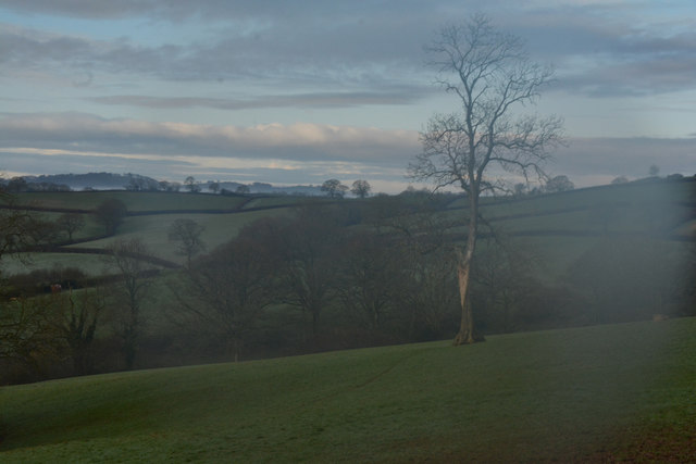
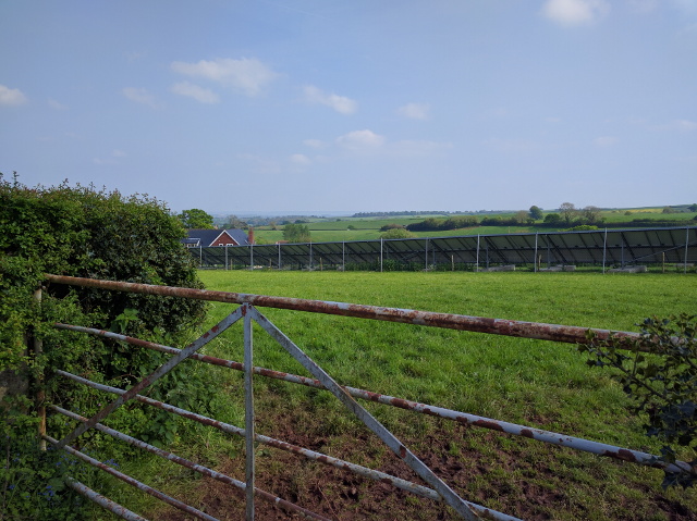
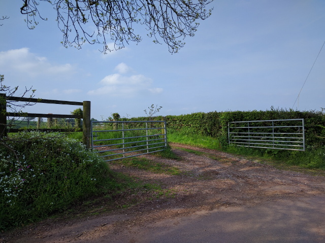
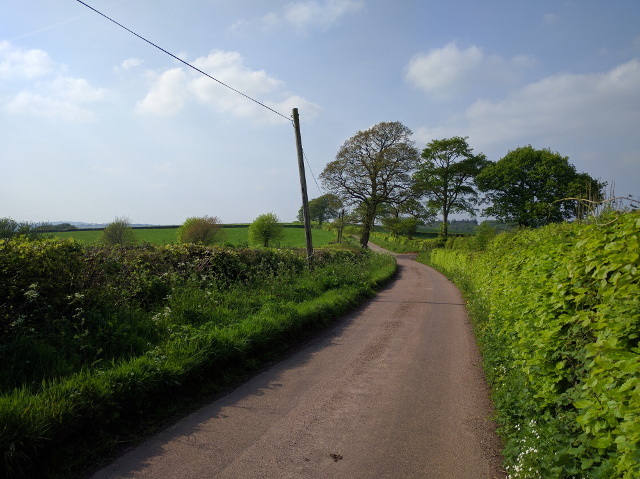
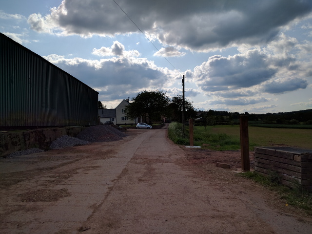
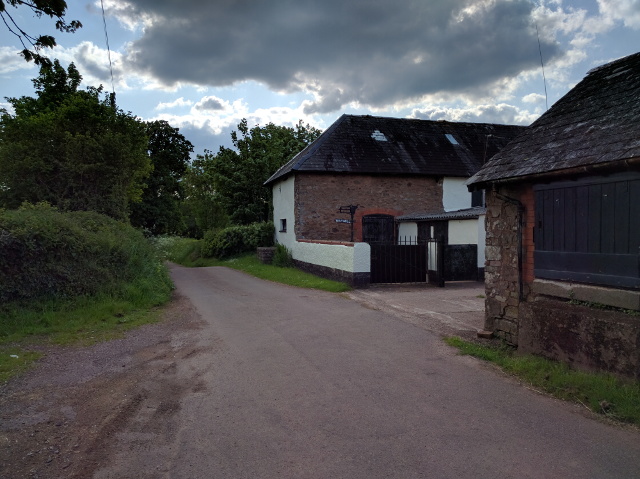
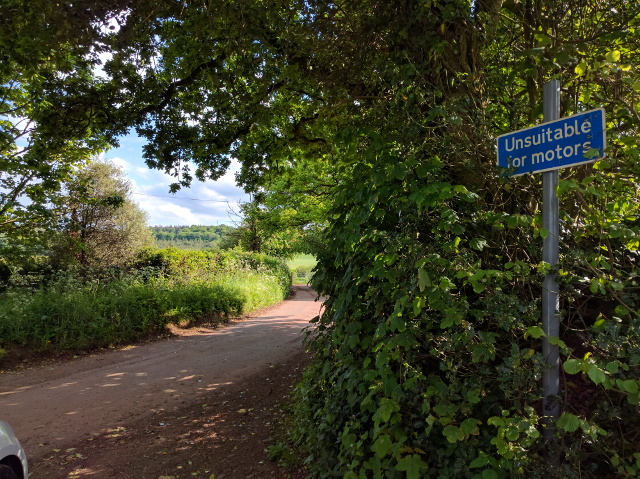
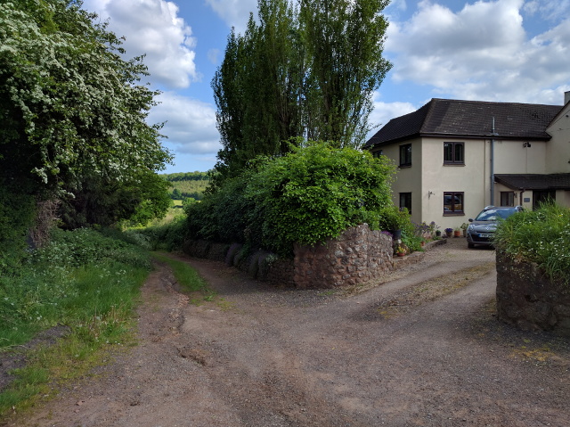
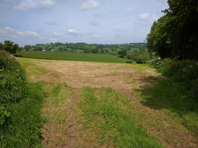
Shepherd's Moor is a picturesque wood located in the county of Devon, England. Situated in the heart of Dartmoor National Park, it covers an area of approximately 200 acres and is known for its abundant natural beauty and diverse wildlife. The moor is characterized by its rolling hills, ancient woodland, and stunning views of the surrounding countryside.

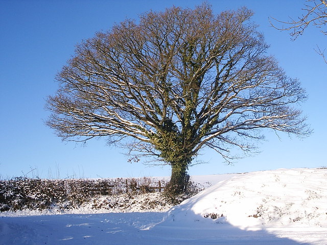
The wood is home to a variety of tree species, including oak, beech, and birch, which create a vibrant and lush environment. Walking through Shepherd's Moor, visitors can enjoy the tranquil atmosphere and the soothing sounds of birds chirping in the trees. The forest floor is carpeted with an array of wildflowers, adding splashes of color to the landscape during the spring and summer months.

This idyllic location also serves as a sanctuary for a wide range of wildlife. Deer, foxes, badgers, and rabbits are frequently spotted among the trees, while bird enthusiasts can catch glimpses of species such as woodpeckers, nuthatches, and buzzards. The wood provides an important habitat for these creatures, offering shelter and sustenance throughout the year.

Shepherd's Moor is a popular destination for nature lovers, hikers, and photographers who appreciate its natural charm and tranquility. There are well-maintained walking trails that wind through the wood, allowing visitors to explore and immerse themselves in the peaceful surroundings. Whether it's a leisurely stroll or a more challenging hike, Shepherd's Moor offers something for everyone seeking to connect with nature in the heart of Devon.

If you have any feedback on the listing, please let us know in the comments section below.

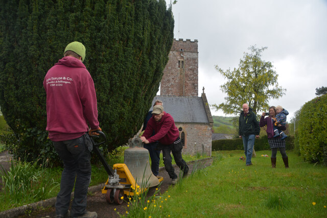
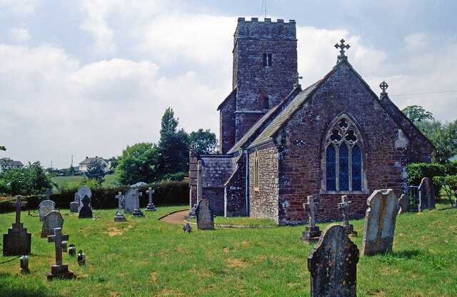
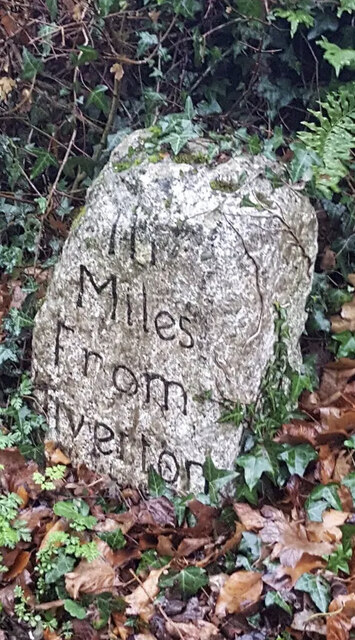
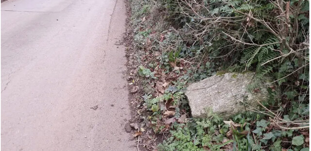
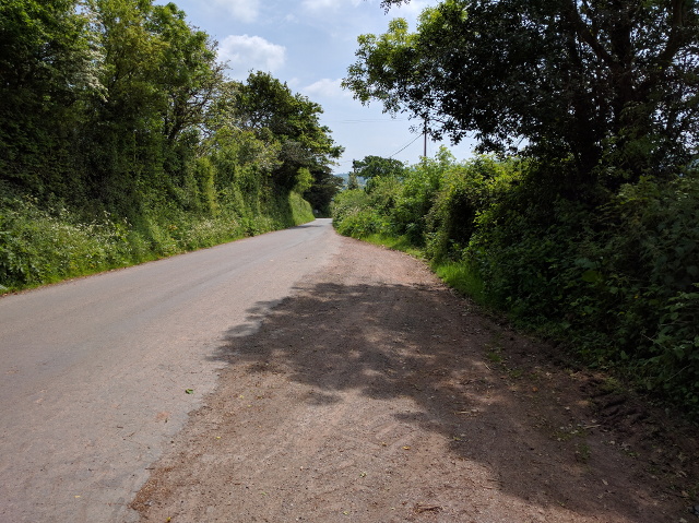
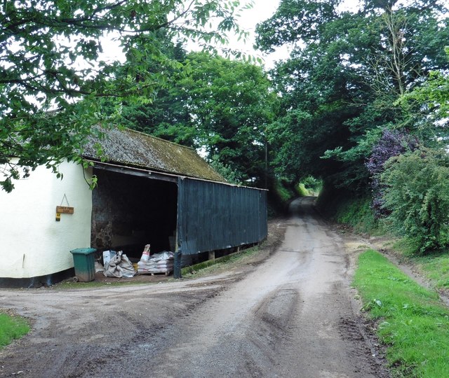
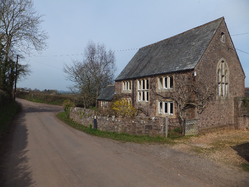
Shepherd's Moor Images

Images are sourced within 2km of 50.867207/-3.4459857 or Grid Reference SS9808. Thanks to Geograph Open Source API. All images are credited.

Butterleigh : St Matthew's Church People are dragging the bells out for restoration.
Butterleigh : St Matthew's Church
People are dragging the bells out for restoration.
Butterleigh Church The oldest part of St Matthew's Church is the tower, dating from the 13th century. Apart from that, the church was rebuilt in 1861 although the architect is unknown. The building is grade II* listed.
Butterleigh Church
The oldest part of St Matthew's Church is the tower, dating from the 13th century. Apart from that, the church was rebuilt in 1861 although the architect is unknown. The building is grade II* listed.
Old Milestone by Old Exeter Road, west of Butterleigh Carved stone post by the UC road, in parish of Butterleigh (Mid Devon District), Old Exeter Road, beside Hillside Cottage, in bank at entrance to drive, on East side of road. Old Tiverton stone, erected by the Tiverton turnpike trust in the 18th century. An earlier photograph can be found here <a title="https://www.geograph.org.uk/photo/6035693" href="https://www.geograph.org.uk/photo/6035693">Link</a>.

Inscription reads:-
III
Miles
From
Tiverton

Devon & Dartmoor HER listed. HER Number: MDV76450 <span class="nowrap"><a title="https://www.heritagegateway.org.uk/Gateway/Results_Single.aspx?uid=MDV76450&resourceID=104" rel="nofollow ugc noopener" href="https://www.heritagegateway.org.uk/Gateway/Results_Single.aspx?uid=MDV76450&resourceID=104">Link</a><img style="margin-left:2px;" alt="External link" title="External link - shift click to open in new window" src="https://s1.geograph.org.uk/img/external.png" width="10" height="10"/></span>

Milestone Society National ID: DV_TTEX03
Old Milestone by Old Exeter Road, west of Butterleigh
Carved stone post by the UC road, in parish of Butterleigh (Mid Devon District), Old Exeter Road, beside Hillside Cottage, in bank at entrance to drive, on East side of road. Old Tiverton stone, erected by the Tiverton turnpike trust in the 18th century. An earlier photograph can be found here Link. Inscription reads:- III Miles From Tiverton Devon & Dartmoor HER listed. HER Number: MDV76450 LinkExternal link Milestone Society National ID: DV_TTEX03
Old Milestone by Old Exeter Road, west of Butterleigh Carved stone post by the UC road, in parish of Butterleigh (Mid Devon District), Old Exeter Road, beside Hillside Cottage, in bank at entrance to drive, on East side of road. Old Tiverton stone, erected by the Tiverton turnpike trust in the 18th century. An earlier photograph can be found here <a title="https://www.geograph.org.uk/photo/7557160" href="https://www.geograph.org.uk/photo/7557160">Link</a>.

Inscription reads:-
III
Miles
From
Tiverton

Devon & Dartmoor HER listed. HER Number: MDV76450 <span class="nowrap"><a title="https://www.heritagegateway.org.uk/Gateway/Results_Single.aspx?uid=MDV76450&resourceID=104" rel="nofollow ugc noopener" href="https://www.heritagegateway.org.uk/Gateway/Results_Single.aspx?uid=MDV76450&resourceID=104">Link</a><img style="margin-left:2px;" alt="External link" title="External link - shift click to open in new window" src="https://s1.geograph.org.uk/img/external.png" width="10" height="10"/></span>

Milestone Society National ID: DV_TTEX03
Old Milestone by Old Exeter Road, west of Butterleigh
Carved stone post by the UC road, in parish of Butterleigh (Mid Devon District), Old Exeter Road, beside Hillside Cottage, in bank at entrance to drive, on East side of road. Old Tiverton stone, erected by the Tiverton turnpike trust in the 18th century. An earlier photograph can be found here Link. Inscription reads:- III Miles From Tiverton Devon & Dartmoor HER listed. HER Number: MDV76450 LinkExternal link Milestone Society National ID: DV_TTEX03
Mid Devon : Countryside Scenery Looking out across the countryside of Mid Devon.
Mid Devon : Countryside Scenery
Looking out across the countryside of Mid Devon.
Mid Devon : Countryside Scenery Distant hillside mist can be seen from here.
Mid Devon : Countryside Scenery
Distant hillside mist can be seen from here.
Mid Devon : Grassy Field A grassy field in the Mid Devon countryside.
Mid Devon : Grassy Field
A grassy field in the Mid Devon countryside.
Solar panels in a field at Sunnyburrow Farm
Farm track near Sunnyburrow farm
Lane near Halsewood Farm, looking north
Farm buildings and house off Forges Hill
Way Mill
Way Mill
Lane to East Butterleigh
House and track at East Butterleigh
Oak tree opposite the drive to Burrow Court In the snow of February 2010.
Oak tree opposite the drive to Burrow Court
In the snow of February 2010.
View into a field between two lanes
Layby on the lane into Butterleigh
Lower Ford Farm
Lower Ford Farm
Show me another place!

Shepherd's Moor is located at Grid Ref: SS9808 (Lat: 50.867207, Lng: -3.4459857)

Administrative County: Devon

District: Mid Devon

Police Authority: Devon and Cornwall

What 3 Words

///supported.jazzy.smug. Near Cullompton, Devon

Related Wikis

Butterleigh

Butterleigh is a village and civil parish in Mid Devon, England situated about three miles south east of Tiverton. The village includes a public house...

Hillersdon House

Hillersdon House in the parish of Cullompton in Devon, is a grade II* listed late Georgian style manor house overlooking that town. It was built in 1848...

Ash Thomas

Ash Thomas is a village in Devon, England.Ash Thomas was listed in the Domesday Book of 1086.There is a village hall in Ash Thomas. == References... ==

Halberton Halt railway station

Halberton Halt railway station served the village of Halberton, Devon, England, from 1927 to 1964 on the Tiverton branch line. == History == The station...

Cullompton

Cullompton () is a town and civil parish in the district of Mid Devon and the county of Devon, England. It is 13 miles (21 km) north-east of Exeter and...

Cranmore Castle

Cranmore Castle is an Iron Age earthwork situated on a hillside above the Devon town of Tiverton in south-west England. Its National Grid reference is...

Cullompton Community College

Cullompton Community College is a coeducational foundation secondary school located in Cullompton in the county of Devon.First established in 1872, the...

Bradninch

Bradninch is a small town, civil parish and manor in Devon, England, lying about 3 mi (5 km) south of Cullompton. Much of the surrounding farmland belongs...

Nearby Amenities

Located within 500m of 50.867207,-3.4459857
Birchen Oak Cross
Junction: yes
Lat/Long: 50.8654205/-3.4507149
East Butterleigh Cross
Junction: yes
Source: OS_OpenData_StreetView
Lat/Long: 50.8674833/-3.4521758
Post Box
Post Box Type: wall
Ref: EX15 1
Royal Cypher: VR
Royal Cypher Wikidata: Q33102356
Lat/Long: 50.8711732/-3.4447823
Poles: bipole
Power: pole
Source: bing
Lat/Long: 50.8660336/-3.452121
Power: pole
Source: bing
Lat/Long: 50.8663282/-3.451319
Power: pole
Source: bing
Transformer: distribution
Lat/Long: 50.8690713/-3.4397735
Power: pole
Source: bing
Lat/Long: 50.870169/-3.4421124
Power: pole
Source: bing
Lat/Long: 50.8696308/-3.4409644
Power: pole
Source: bing
Lat/Long: 50.8692897/-3.4409966
Power: pole
Source: bing
Lat/Long: 50.8687624/-3.4447664
Power: pole
Source: bing
Lat/Long: 50.8681429/-3.4464321
Power: pole
Source: bing
Lat/Long: 50.8675775/-3.4479609
Power: pole
Source: bing
Lat/Long: 50.8669477/-3.449648
Power: pole
Source: bing
Lat/Long: 50.8675842/-3.450163
Power: pole
Source: bing
Lat/Long: 50.868263/-3.4486717
Power: pole
Source: bing
Lat/Long: 50.8688352/-3.4473816
Power: pole
Source: bing
Transformer: distribution
Lat/Long: 50.869475/-3.4459412
Power: pole
Source: bing
Transformer: distribution
Lat/Long: 50.8711677/-3.4442112
Power: pole
Source: bing
Lat/Long: 50.8707022/-3.4432134
Power: pole
Source: bing
Lat/Long: 50.8701022/-3.4445626
Give Way
Direction: forward
Lat/Long: 50.8653912/-3.450737
Give Way
Direction: backward
Lat/Long: 50.8675026/-3.452125
Give Way
Direction: forward
Lat/Long: 50.8674636/-3.4522357
East Butterleigh
Place: hamlet
Lat/Long: 50.8703273/-3.4467982
The data included in this document is from www.openstreetmap.org. The data is made available under ODbL.

Have you been to Shepherd's Moor?

Leave your review of Shepherd's Moor below (or comments, questions and feedback).