Birchen wood
Wood, Forest in Somerset Somerset West and Taunton
England
Birchen wood
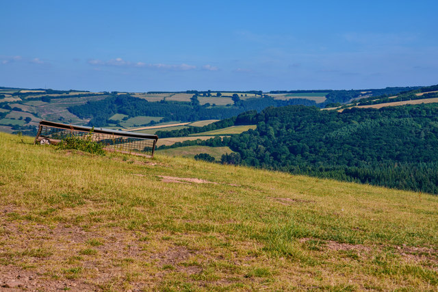
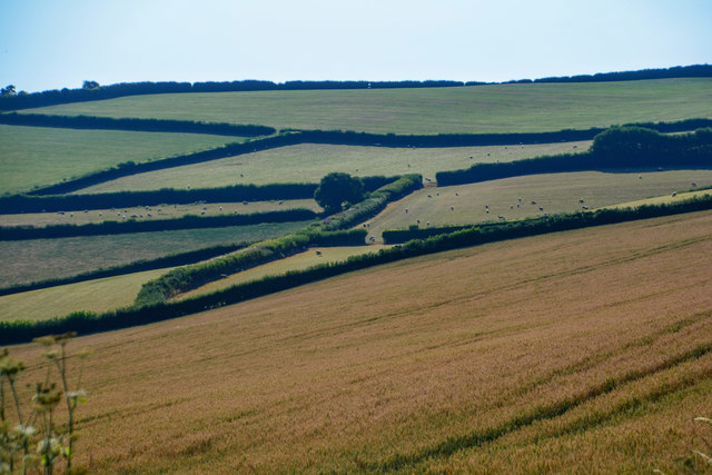
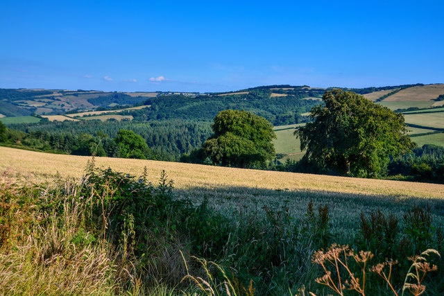
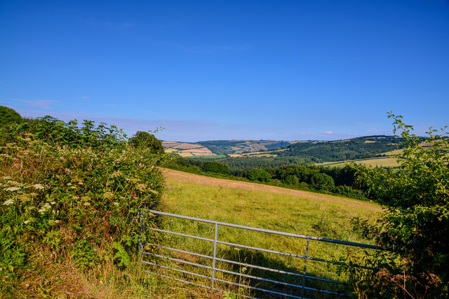
Birchen Wood is a picturesque and enchanting woodland located in Somerset, England. Covering an area of approximately 100 acres, it offers a rich and diverse natural habitat for a wide range of flora and fauna. The wood is primarily composed of birch trees, hence its name, but also features a variety of other tree species, including oak, beech, and hazel.
As visitors enter Birchen Wood, they are greeted by a peaceful ambiance and the soothing sound of birdsong. The canopy formed by the tall trees provides a cool and shaded environment, making it a popular spot for nature enthusiasts, hikers, and those seeking a tranquil escape from the hustle and bustle of everyday life.
The forest floor is adorned with a carpet of vibrant wildflowers, adding bursts of color to the lush green surroundings. In spring, bluebells paint the woodland floor in a breathtaking display. Wildlife abounds in Birchen Wood, with numerous species of birds, such as woodpeckers and owls, calling it home. Squirrels and deer can also be spotted among the trees, adding to the charm and beauty of the wood.
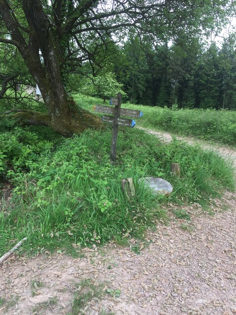
Several walking trails wind their way through the wood, offering visitors the opportunity to explore its hidden treasures. These paths are well-maintained and suitable for all levels of fitness. Interpretive signs along the trails provide information about the various tree species and wildlife that can be found within the wood, adding an educational element to the visit.
Overall, Birchen Wood is a true gem of Somerset, offering a serene and immersive experience in nature. Whether it's for a leisurely stroll, a family picnic, or a chance to observe wildlife, this woodland is sure to captivate and inspire all who venture within its borders.
If you have any feedback on the listing, please let us know in the comments section below.
Birchen wood Images
Images are sourced within 2km of 51.128906/-3.4453992 or Grid Reference SS9837. Thanks to Geograph Open Source API. All images are credited.


Birchen wood is located at Grid Ref: SS9837 (Lat: 51.128906, Lng: -3.4453992)
Administrative County: Somerset
District: Somerset West and Taunton
Police Authority: Avon and Somerset
What 3 Words
///calibrate.torches.remarks. Near Minehead, Somerset
Nearby Locations
Related Wikis

Luxborough
Luxborough is a small village and civil parish located some 6 miles (9.7 km) south of Dunster, lying amongst the Brendon Hills and the Exmoor National...

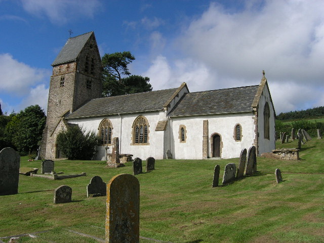
St Mary's Church, Luxborough
The Anglican St Mary's Church at Luxborough within the English county of Somerset dates from the 13th century. It is a Grade II listed building.The chancel...

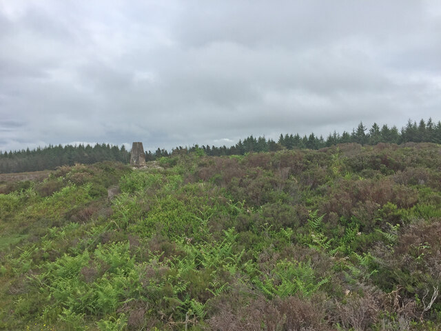
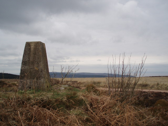
Rodhuish Common
Rodhuish Common is a univallate Iron Age hill fort in the West Somerset district of Somerset, England. There is a small oval enclosure which is thought...

Luxborough Road railway station
Luxborough Road (sometimes referred to as "Langham" or "Langham Hill") was an intermediate station on the West Somerset Mineral Railway (WSMR), which was...

Church of St Peter, Williton
The Anglican Church of St Peter in Williton in the English county of Somerset is recorded in the National Heritage List for England as a designated Grade...

St Peter's Church, Treborough
The Anglican St Peter's Church at Treborough within the English county of Somerset dates from the 14th century. It is a Grade II* listed building.Although...
Treborough
Treborough is a small village and civil parish 7 miles (11 km) south of Dunster, lying amongst the Brendon Hills within the Exmoor National Park in the...

Church of St Bartholomew, Rodhuish
The Anglican Church of St Bartholomew in Rodhuish, Somerset, England was built in the 15th century. It is a Grade II* listed building. == History == The...
Nearby Amenities
Located within 500m of 51.128906,-3.4453992Have you been to Birchen wood?
Leave your review of Birchen wood below (or comments, questions and feedback).