Barley Field Plantation
Wood, Forest in Somerset Somerset West and Taunton
England
Barley Field Plantation
Barley Field Plantation is a picturesque estate located in Somerset, England. Nestled amidst the lush Wood Forest, this expansive plantation spans over acres of well-manicured land, offering a serene and idyllic setting for visitors and residents alike.
The centerpiece of Barley Field Plantation is its vast barley fields, which stretch as far as the eye can see. These fields showcase the region's agricultural heritage and provide a stunning backdrop for nature enthusiasts and photographers. The plantation is renowned for its high-quality barley production, contributing significantly to the local economy.
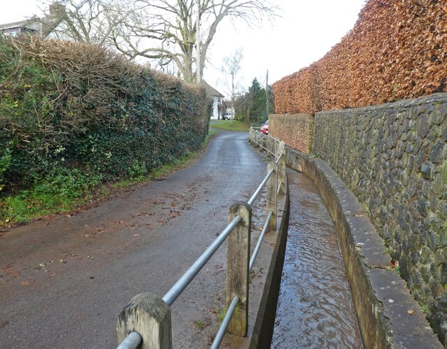
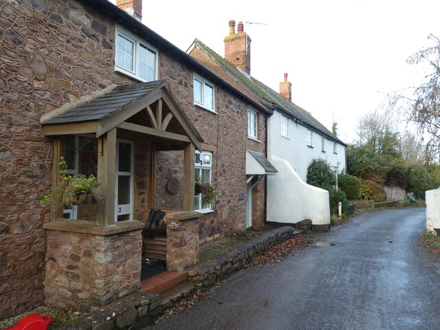
Surrounding the barley fields are dense woodlands that add to the plantation's charm. The Wood Forest is home to a diverse range of flora and fauna, making it a haven for wildlife enthusiasts and nature lovers. Visitors can explore the forest through well-maintained trails, immersing themselves in the beauty of the natural surroundings.
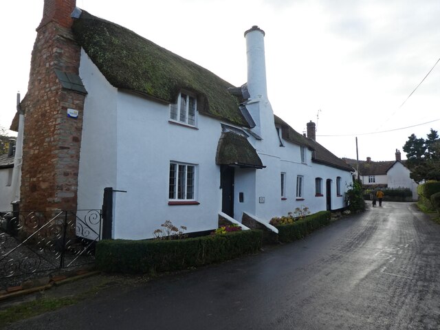
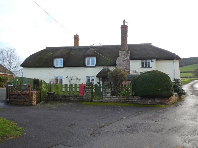
Barley Field Plantation also boasts a charming farmhouse, which serves as the main residence for the estate's owners. The farmhouse exudes rustic charm and offers breathtaking views of the surrounding landscape. It is a perfect blend of traditional architecture and modern amenities, providing a comfortable and luxurious living space.
Additionally, the plantation offers various recreational activities for visitors to enjoy. These include horseback riding, fishing, and picnicking in designated areas. The plantation also hosts seasonal events such as harvest festivals, where visitors can experience the vibrant local culture and sample the freshly harvested produce.
Overall, Barley Field Plantation in Somerset is a captivating destination that showcases the beauty of nature, celebrates the region's agricultural heritage, and offers a tranquil escape from the hustle and bustle of everyday life.
If you have any feedback on the listing, please let us know in the comments section below.
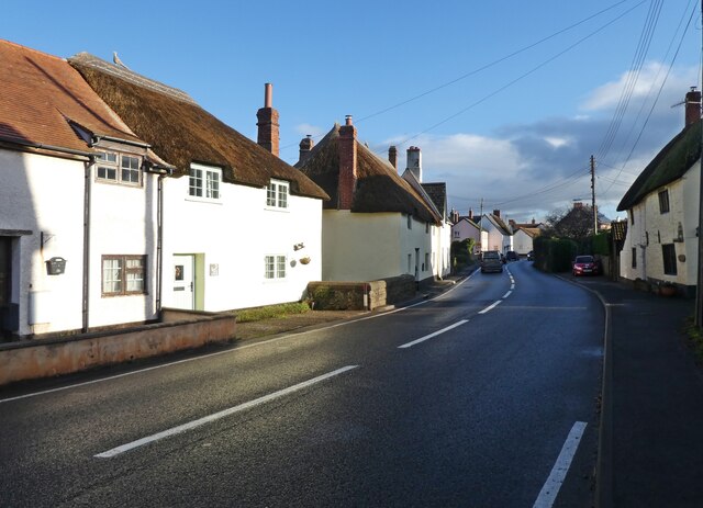
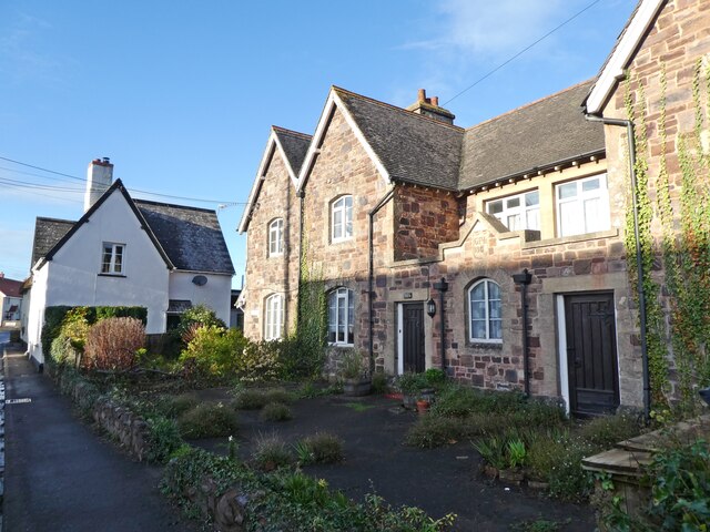
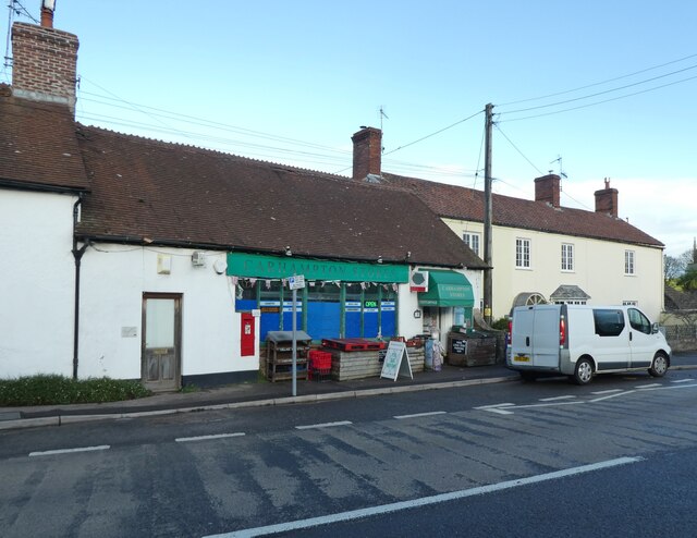
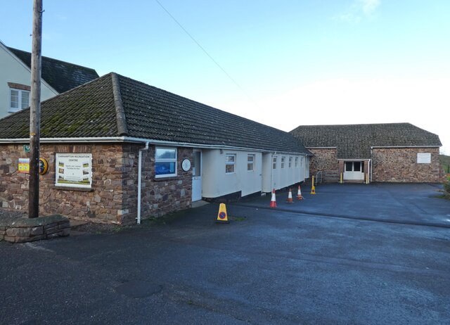
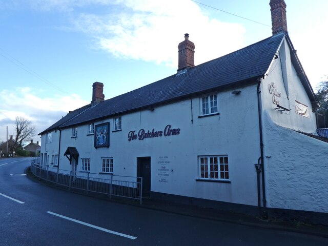
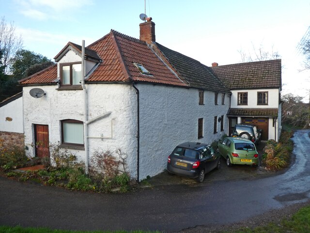
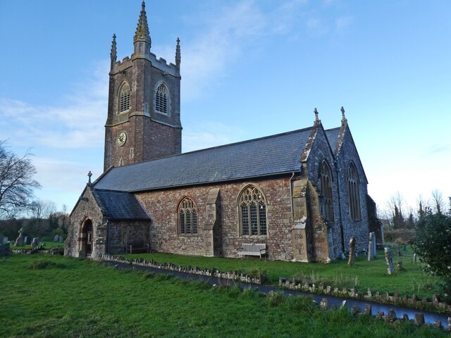
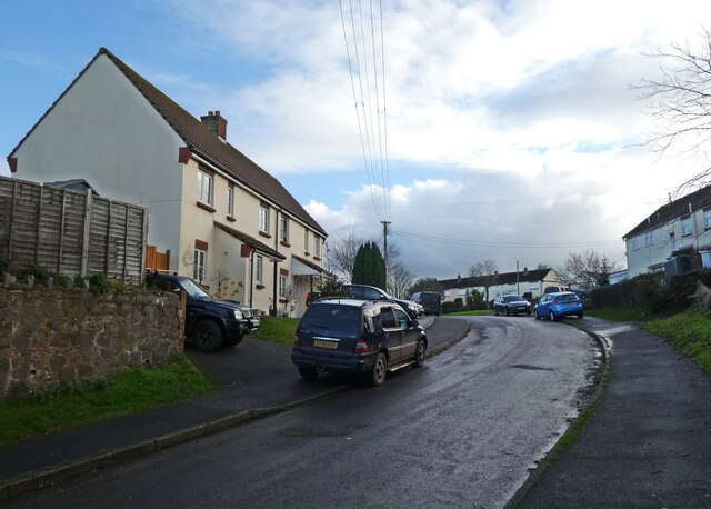
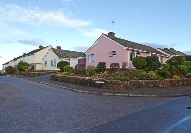
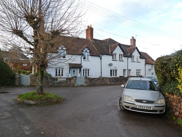
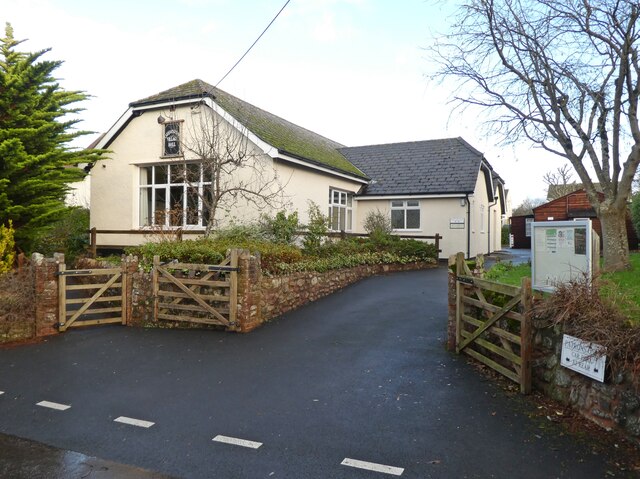
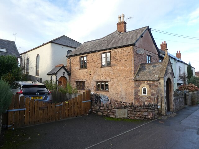
Barley Field Plantation Images
Images are sourced within 2km of 51.17392/-3.4463917 or Grid Reference SS9842. Thanks to Geograph Open Source API. All images are credited.
Barley Field Plantation is located at Grid Ref: SS9842 (Lat: 51.17392, Lng: -3.4463917)
Administrative County: Somerset
District: Somerset West and Taunton
Police Authority: Avon and Somerset
What 3 Words
///outgrown.waxing.grace. Near Minehead, Somerset
Nearby Locations
Related Wikis
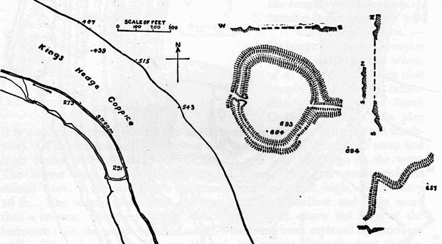
Bat's Castle
Bats Castle is an Iron Age hillfort at the top of a 213 metres (699 ft) high hill in the parish of Carhampton south south west of Dunster in Somerset,...

Black Ball Camp
Black Ball Camp is an Iron Age hillfort South West of Dunster, Somerset, England on the northern summit of Gallox Hill. It is a Scheduled Monument.It is...

Gallox Bridge, Dunster
The Gallox Bridge in Dunster, Somerset, England dates from the 15th century. It has been designated as a Grade I listed building and scheduled monument...

Dunster Working Watermill
Dunster Working Watermill (also known as Castle Mill) is a restored 18th century watermill, situated on the River Avill, close to Gallox Bridge, in the...

Dunster Castle
Dunster Castle is a former motte and bailey castle, now a country house, in the village of Dunster, Somerset, England. The castle lies on the top of a...

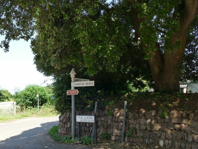
Dunster
Dunster is a village and civil parish in Somerset, England, within the north-eastern boundary of Exmoor National Park. It lies on the Bristol Channel 2...

Long Wood Enclosure
Long Wood Enclosure is an enclosure which may have been a univallate Iron Age hill fort, in the West Somerset district of Somerset, England. The hill fort...

Dunster Dovecote
The Dovecote in Dunster, Somerset, England was probably built in the late 16th century. It has been designated as a Grade II* listed building and Scheduled...
Nearby Amenities
Located within 500m of 51.17392,-3.4463917Have you been to Barley Field Plantation?
Leave your review of Barley Field Plantation below (or comments, questions and feedback).