Alcombe Common

Wood, Forest in Somerset Somerset West and Taunton

England

Alcombe Common

Houses on Dunster Steep I'm not sure whether these are genuinely old timber-framed houses, or a modern imitation, but they are not listed, so probably the latter.
Houses on Dunster Steep Credit: Stephen Craven

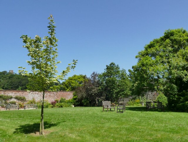
Alcombe Common is a picturesque woodland located in Somerset, England. Sprawling across approximately 100 acres, it is a captivating natural area that attracts both locals and tourists alike. The common lies a short distance from the town of Minehead, making it easily accessible for visitors.

The woodland is characterized by its thick canopy of mature trees, predominantly oak and beech, which create a serene and tranquil atmosphere. Walking through Alcombe Common, visitors are greeted by a diverse range of flora and fauna. Bluebells, primroses, and wild garlic carpet the forest floor during the spring months, providing a vibrant burst of color. The woods are also home to a variety of bird species, including woodpeckers, thrushes, and jays, making it a haven for birdwatchers.

A well-maintained network of footpaths and trails crisscross the common, allowing visitors to explore its nooks and crannies. These paths lead to hidden clearings, babbling brooks, and small ponds, adding to the charm and allure of the woodland. The common is a popular spot for nature walks, picnics, and photography enthusiasts.

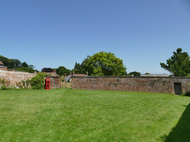
Alcombe Common is also steeped in history. Remnants of ancient hillforts and burial mounds can be found within its boundaries, offering a glimpse into the area's rich past. Additionally, the common has been carefully managed to preserve its natural beauty and protect the diverse ecosystems it supports.

Overall, Alcombe Common is a beautiful and enchanting woodland, offering a peaceful escape from the hustle and bustle of everyday life. Its scenic beauty, diverse wildlife, and historical significance make it a must-visit destination for nature lovers and history enthusiasts alike.

If you have any feedback on the listing, please let us know in the comments section below.

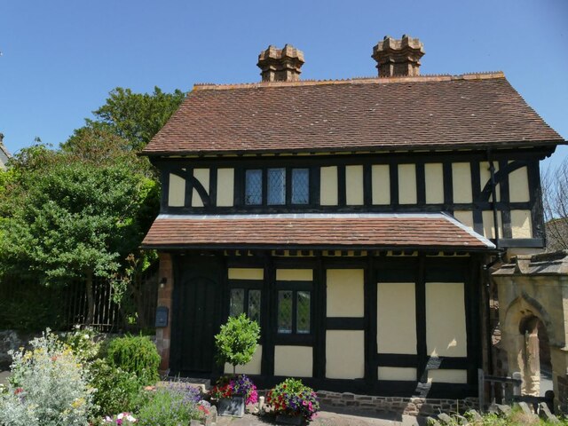
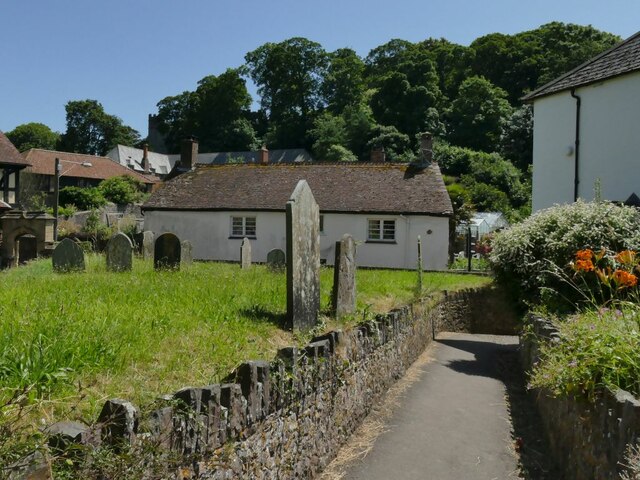
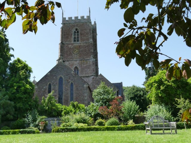
Alcombe Common Images

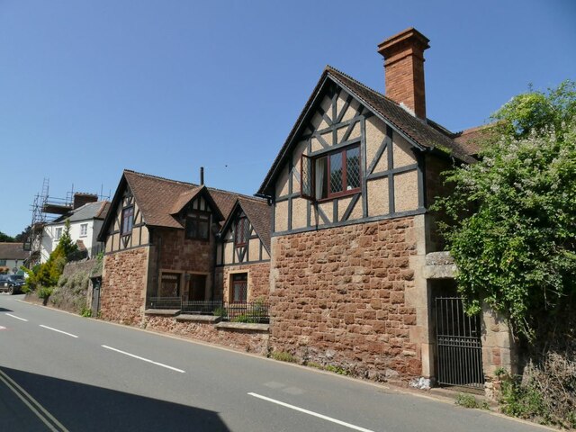
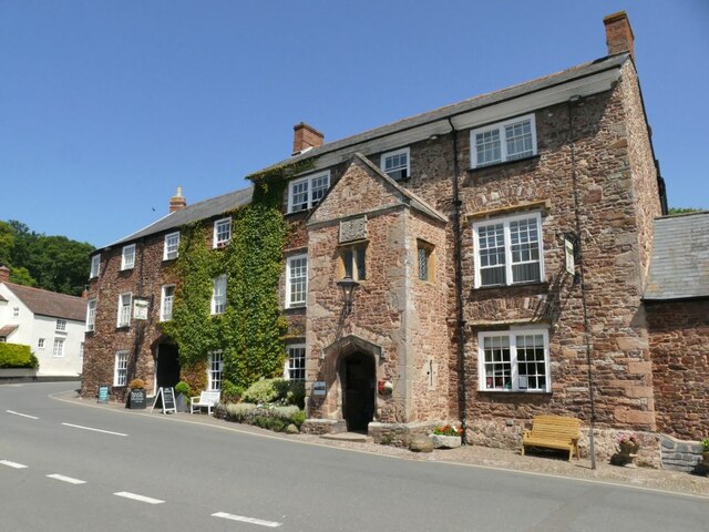
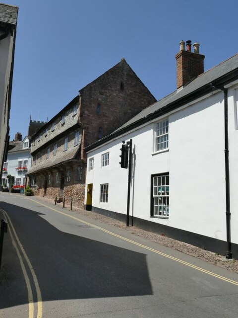
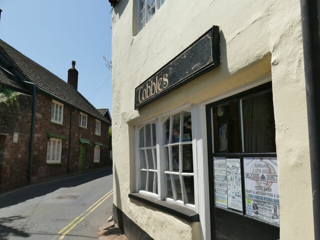
Images are sourced within 2km of 51.187008/-3.4713277 or Grid Reference SS9744. Thanks to Geograph Open Source API. All images are credited.

Houses on Dunster Steep I'm not sure whether these are genuinely old timber-framed houses, or a modern imitation, but they are not listed, so probably the latter.
Houses on Dunster Steep
I'm not sure whether these are genuinely old timber-framed houses, or a modern imitation, but they are not listed, so probably the latter.
Dunster High Street, looking south A small market town that retains its charm, with the castle overlooking the town centre.
Dunster High Street, looking south
A small market town that retains its charm, with the castle overlooking the town centre.
Dunster Yarn Market Many old market towns have a market cross or similar in the centre, but this one dating from 1609 is most unusual, with its octagonal form and dormered upper room. Not surprisingly it's grade I listed (list entry 1173428) and also a scheduled monument (1015706).
Dunster Yarn Market
Many old market towns have a market cross or similar in the centre, but this one dating from 1609 is most unusual, with its octagonal form and dormered upper room. Not surprisingly it's grade I listed (list entry 1173428) and also a scheduled monument (1015706).
The Luttrell Arms, Dunster The hotel at the bottom of the high street dates from the 15th century, with several later alterations. It was originally a guest house for Cleeve Abbey near Watchet, and is grade II* listed (list entry 1057611).
The Luttrell Arms, Dunster
The hotel at the bottom of the high street dates from the 15th century, with several later alterations. It was originally a guest house for Cleeve Abbey near Watchet, and is grade II* listed (list entry 1057611).
Dunster High Street, looking north The high street is part of the A396 which runs from here to Exeter. The building on the corner, known as The Cage, is grade II listed (list entry 1173386).
Dunster High Street, looking north
The high street is part of the A396 which runs from here to Exeter. The building on the corner, known as The Cage, is grade II listed (list entry 1173386).
The bottom of Church Street in Dunster The tower of St George's church is visible in the distance. The three-storey building with overhangs, 4-8 Church Street, dates from the 15th century and is grade II* listed (list entry 1057644).
The bottom of Church Street in Dunster
The tower of St George's church is visible in the distance. The three-storey building with overhangs, 4-8 Church Street, dates from the 15th century and is grade II* listed (list entry 1057644).
Cobbles, Church Street, Dunster  The point of interest in this shop building is the extreme distortion of the window frames and glass.  It looks as if it could pop out on the next windy day!
Cobbles, Church Street, Dunster
The point of interest in this shop building is the extreme distortion of the window frames and glass. It looks as if it could pop out on the next windy day!
Dunster Village Gardens (1) The site was part of the 11th century priory, becoming part of the Luttrells' castle estate in 1543 and used as a kitchen garden for the castle until the 20th century.  In 1980 the land was bought by villagers as a public garden, but it remains part of the grade II* listed Dunster Castle Park (list entry 1000467).
Dunster Village Gardens (1)
The site was part of the 11th century priory, becoming part of the Luttrells' castle estate in 1543 and used as a kitchen garden for the castle until the 20th century. In 1980 the land was bought by villagers as a public garden, but it remains part of the grade II* listed Dunster Castle Park (list entry 1000467).
Dunster Village Gardens (2) The site was part of the 11th century priory, becoming part of the Luttrells' castle estate in 1543 and used as a kitchen garden for the castle until the 20th century.  In 1980 the land was bought by villagers as a public garden, but it remains part of the grade II* listed Dunster Castle Park (list entry 1000467). This northern part of the garden consists of a simple lawn, with an incongruous (non-working?) red telephone box in the corner.
Dunster Village Gardens (2)
The site was part of the 11th century priory, becoming part of the Luttrells' castle estate in 1543 and used as a kitchen garden for the castle until the 20th century. In 1980 the land was bought by villagers as a public garden, but it remains part of the grade II* listed Dunster Castle Park (list entry 1000467). This northern part of the garden consists of a simple lawn, with an incongruous (non-working?) red telephone box in the corner.
Dunster Village Gardens (3) - the stationmaster's bench The bench is in memory of a former stationmaster at Dunster, and with the GWR monogram is obviously from a railway station somewhere in the region.
Dunster Village Gardens (3) - the stationmaster's bench
The bench is in memory of a former stationmaster at Dunster, and with the GWR monogram is obviously from a railway station somewhere in the region.
Dunster Village Gardens (4) - sundial The sundial was, allowing for British summer time, telling the correct time.
Dunster Village Gardens (4) - sundial
The sundial was, allowing for British summer time, telling the correct time.
The Priest's house at Dunster Priory  The building, now known as 18 Church Street, is the former Priest's House of Dunster Priory, dating from late medieval times, though "much restored in circa 1877 by G E Street". Listed grade II (list entry 1296291). See also <a href="https://www.geograph.org.uk/photo/2455315">SS9943 : View to 18 Church Street</a>.
The Priest's house at Dunster Priory
The building, now known as 18 Church Street, is the former Priest's House of Dunster Priory, dating from late medieval times, though "much restored in circa 1877 by G E Street". Listed grade II (list entry 1296291). See also SS9943 : View to 18 Church Street.
St George's church, Dunster - churchyard path The path probably represents the natural ground level, with the burial ground either side raised incrementally over the centuries as coffins were buried and the soil displaced.
St George's church, Dunster - churchyard path
The path probably represents the natural ground level, with the burial ground either side raised incrementally over the centuries as coffins were buried and the soil displaced.
St George's church, Dunster from the east A view from the village garden.
St George's church, Dunster from the east
A view from the village garden.
St George's church, Dunster - tower and south transept The tower dates from 1443.
St George's church, Dunster - tower and south transept
The tower dates from 1443.
St George's church, Dunster - porch The south-west porch is the main entrance to the church and is in the Perpendicular style.
St George's church, Dunster - porch
The south-west porch is the main entrance to the church and is in the Perpendicular style.
St George's church, Dunster - nave looking west It's unusual for there to be steps leading down (rather than up) from the west door into the nave. The only other example I know is Chipstead in Surrey <a href="https://www.geograph.org.uk/photo/3330200">TQ2856 : West door of St Margaret's church, Chipstead</a>, and I wonder if the explanation is the same as there, namely that the doorway was raised to the level of the ground outside in the 19th century restoration, which in this instance was by Street.
St George's church, Dunster - nave looking west
It's unusual for there to be steps leading down (rather than up) from the west door into the nave. The only other example I know is Chipstead in Surrey TQ2856 : West door of St Margaret's church, Chipstead, and I wonder if the explanation is the same as there, namely that the doorway was raised to the level of the ground outside in the 19th century restoration, which in this instance was by Street.
St George's church, Dunster - font A 16th century stone font. See also <a href="https://www.geograph.org.uk/photo/2504354">SS9943 : St George's Priory Church</a>.
St George's church, Dunster - font
A 16th century stone font. See also SS9943 : St George's Priory Church.
Show me another place!

Alcombe Common is located at Grid Ref: SS9744 (Lat: 51.187008, Lng: -3.4713277)

Administrative County: Somerset

District: Somerset West and Taunton

Police Authority: Avon and Somerset

What 3 Words

///feelers.skinning.universes. Near Minehead, Somerset

Related Wikis

Grabbist Hillfort

Grabbist Hillfort is an Iron Age oval hillfort or defended enclosure, west of Dunster in Somerset, England. The site is 885.8 feet (270.0 m) long and 219...

West Somerset College

West Somerset College (is sometimes abbreviated to WSC and was previously known as West Somerset Community College prior to the college re-brand in September...

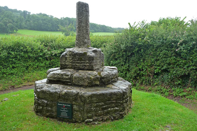
Dunster Butter Cross

The Butter Cross in Dunster within the English county of Somerset is a Grade II* listed building and scheduled monument. The cross was originally erected...

Dunster Priory

Dunster Priory was established as a Benedictine monastery around 1100 in Dunster, Somerset, England. The first church in Dunster was built by William de...

The Kildare Lodge Inn

The Kildare Lodge Inn in Minehead, Somerset, England, was built in 1905/6, and is located at 18 Townsend Road, to the south east of the town centre of...

Dunster Park and Heathlands

Dunster Park and Heathlands (grid reference SS955441) is a 466.6 hectare biological Site of Special Scientific Interest in Somerset, notified in 2000....

Tithe Barn, Dunster

The Tithe Barn is a 14th-century tithe barn in Dunster, Somerset, England. It has a cruciform plan. The east front has central double doors in heavy oak...

Dunster Dovecote

The Dovecote in Dunster, Somerset, England was probably built in the late 16th century. It has been designated as a Grade II* listed building and Scheduled...

Nearby Amenities

Located within 500m of 51.187008,-3.4713277
Grabbist Hill
Place: locality
Lat/Long: 51.1843668/-3.4659505
Hiking: yes
Information: guidepost
Source: GPS survey
Tourism: information
Lat/Long: 51.1857732/-3.4661275
Hiking: yes
Information: route_marker
Source: GPS survey
Tourism: information
Lat/Long: 51.1848174/-3.4676202
Hiking: yes
Information: guidepost
Source: GPS survey
Tourism: information
Lat/Long: 51.1839398/-3.46885
Hiking: yes
Information: guidepost
Source: GPS survey
Tourism: information
Lat/Long: 51.1829462/-3.4691986
Ford: yes
Lat/Long: 51.1902/-3.4716103
The data included in this document is from www.openstreetmap.org. The data is made available under ODbL.

Have you been to Alcombe Common?

Leave your review of Alcombe Common below (or comments, questions and feedback).