Arms Hill
Hill, Mountain in Somerset Somerset West and Taunton
England
Arms Hill
Arms Hill is a prominent hill located in Somerset, a county in southwestern England. It is situated approximately 4 miles west of the town of Frome and stands at an elevation of 250 meters (820 feet) above sea level. Although referred to as a hill, it is often considered a small mountain due to its commanding presence in the surrounding landscape.
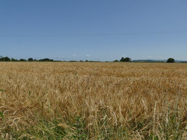
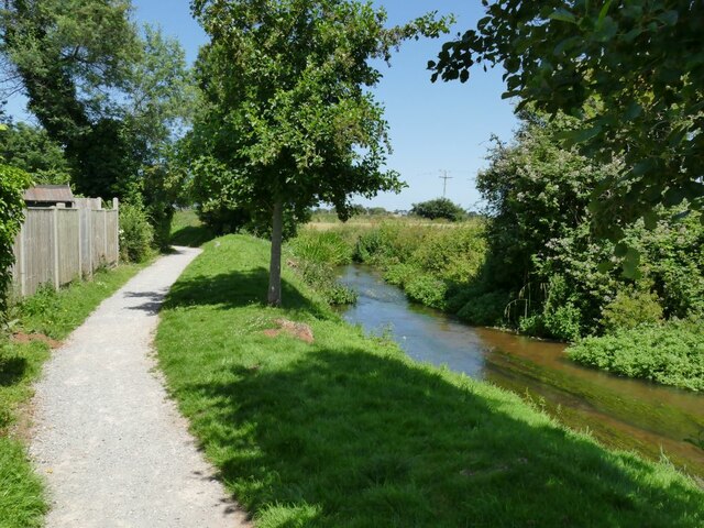
Arms Hill is part of the Mendip Hills Area of Outstanding Natural Beauty, which is renowned for its stunning scenery and abundant wildlife. The hill itself offers breathtaking panoramic views of the surrounding countryside, with its slopes covered in lush green vegetation and interspersed with patches of woodland.
The hill is a popular destination for hikers, walkers, and nature enthusiasts, attracting both locals and visitors from afar. Several footpaths and trails wind their way up the hill, providing access to its summit and offering opportunities for exploration and outdoor activities. On a clear day, one can see as far as the Bristol Channel and the distant Welsh mountains from the top.
Apart from its natural beauty, Arms Hill also holds historical significance. It is believed to have been a site of Iron Age occupation, with evidence of ancient settlements and fortifications found in the area. These archaeological remains add to the intrigue and allure of the hill for history buffs and archaeology enthusiasts.
In conclusion, Arms Hill in Somerset is a picturesque and historically significant hill/mountain that offers stunning views and a chance to connect with nature. Its accessibility and diverse attractions make it a must-visit destination for those seeking outdoor adventures or a peaceful retreat amidst the beauty of the English countryside.
If you have any feedback on the listing, please let us know in the comments section below.
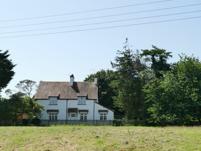
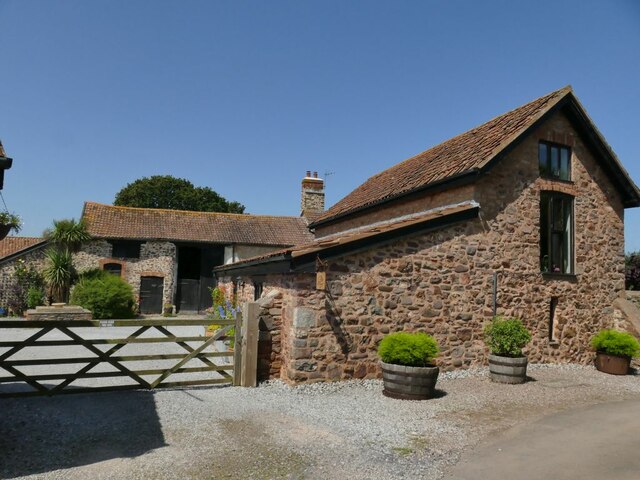
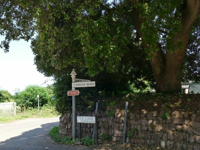
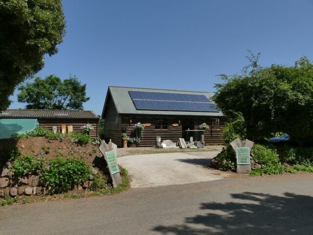
Arms Hill Images
Images are sourced within 2km of 51.188624/-3.4657984 or Grid Reference SS9744. Thanks to Geograph Open Source API. All images are credited.
Arms Hill is located at Grid Ref: SS9744 (Lat: 51.188624, Lng: -3.4657984)
Administrative County: Somerset
District: Somerset West and Taunton
Police Authority: Avon and Somerset
What 3 Words
///amended.seducing.sober. Near Minehead, Somerset
Nearby Locations
Related Wikis

Grabbist Hillfort
Grabbist Hillfort is an Iron Age oval hillfort or defended enclosure, west of Dunster in Somerset, England. The site is 885.8 feet (270.0 m) long and 219...

West Somerset College
West Somerset College (is sometimes abbreviated to WSC and was previously known as West Somerset Community College prior to the college re-brand in September...
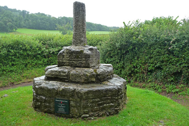
Dunster Butter Cross
The Butter Cross in Dunster within the English county of Somerset is a Grade II* listed building and scheduled monument. The cross was originally erected...
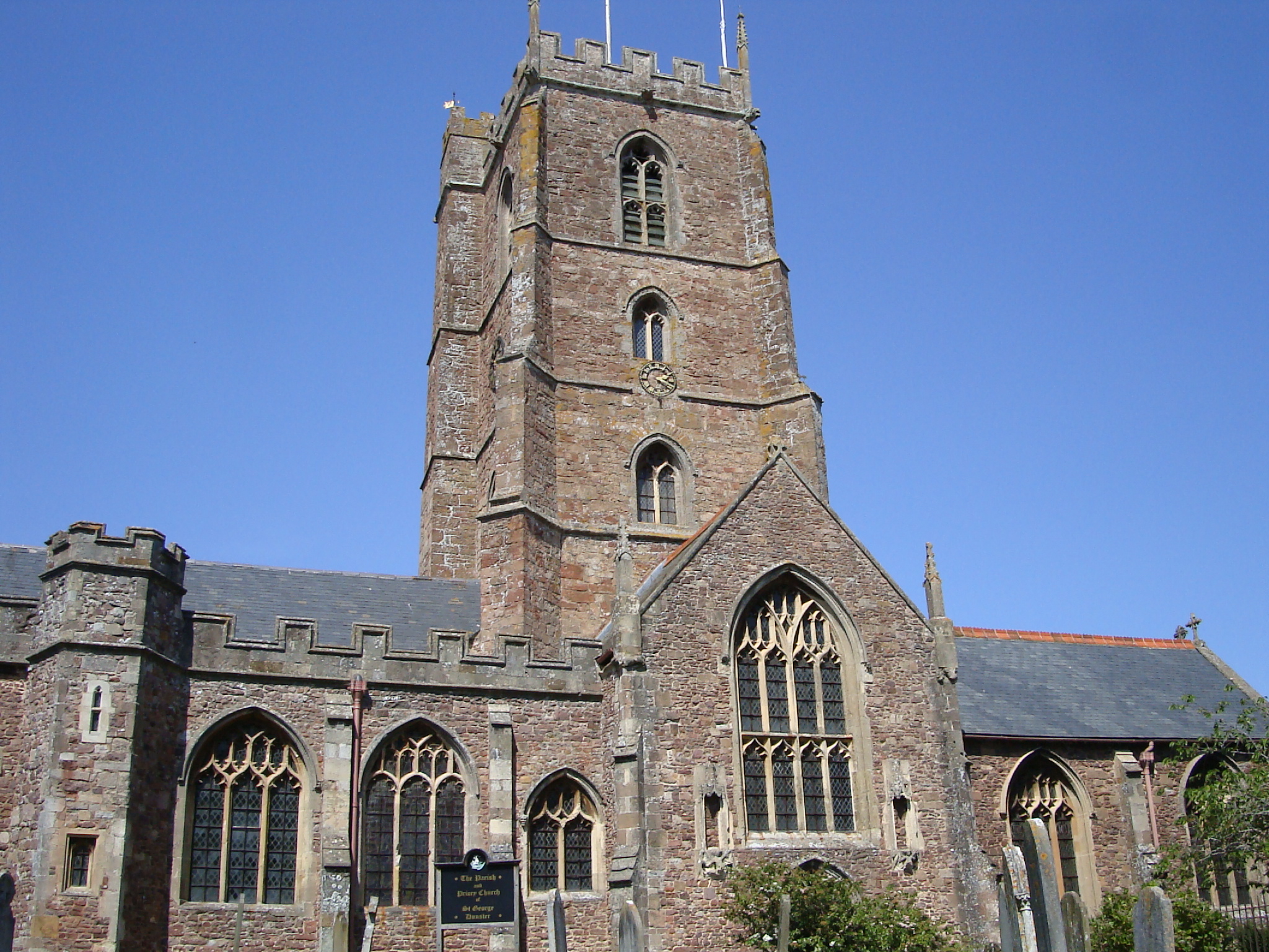
Dunster Priory
Dunster Priory was established as a Benedictine monastery around 1100 in Dunster, Somerset, England. The first church in Dunster was built by William de...
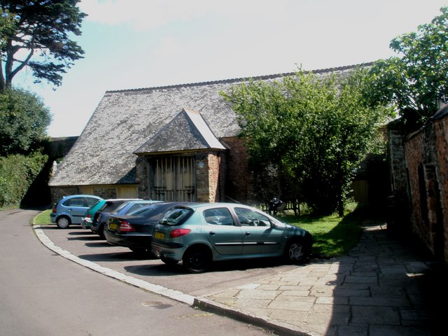
Tithe Barn, Dunster
The Tithe Barn is a 14th-century tithe barn in Dunster, Somerset, England. It has a cruciform plan. The east front has central double doors in heavy oak...

Dunster Dovecote
The Dovecote in Dunster, Somerset, England was probably built in the late 16th century. It has been designated as a Grade II* listed building and Scheduled...
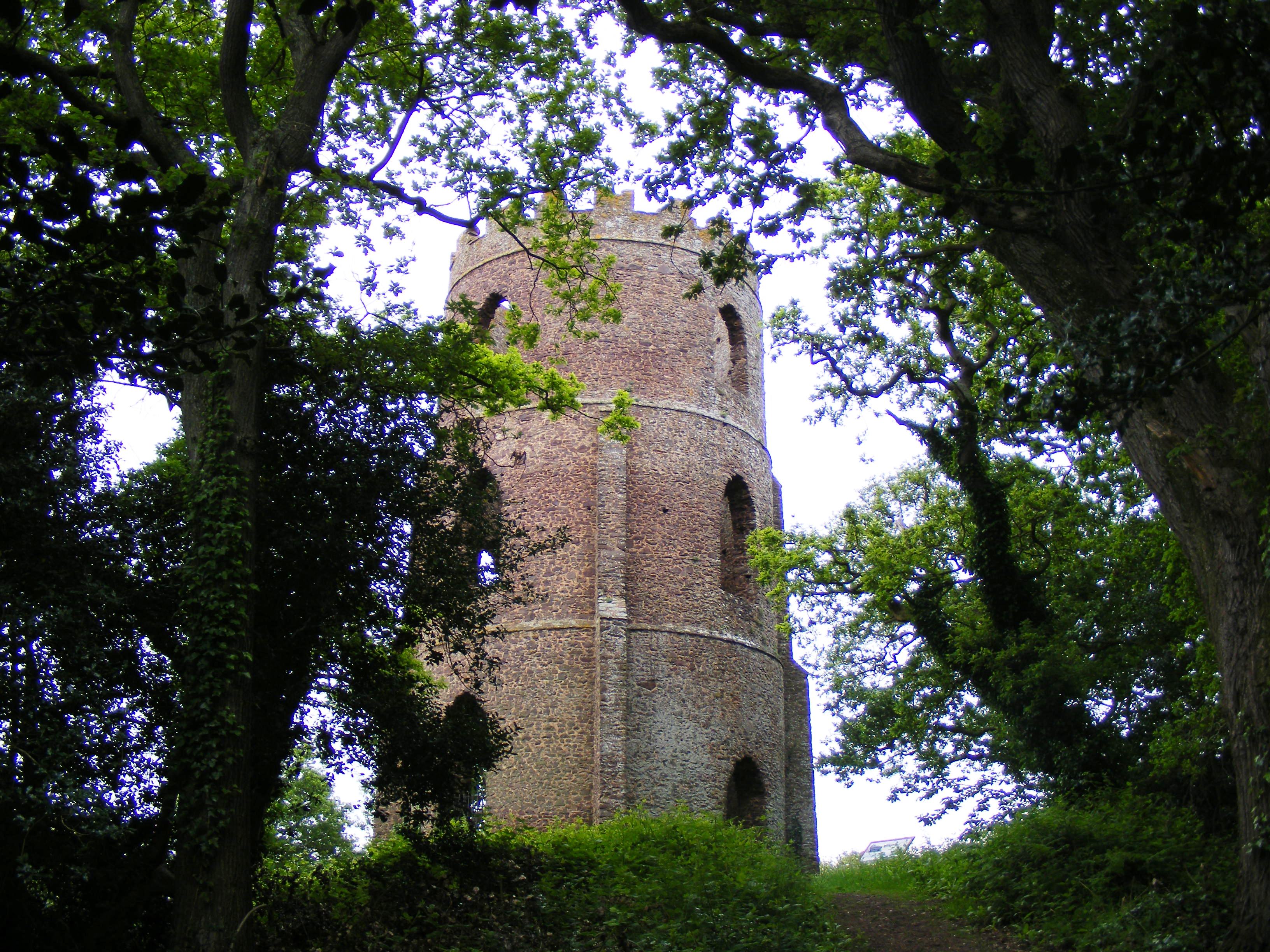
Conygar Tower
The Conygar Tower in Dunster, Somerset, England was built in 1775 and has been designated as a Grade II listed building.It is a circular, 3 storey folly...

Dunster
Dunster is a village and civil parish in Somerset, England, within the north-eastern boundary of Exmoor National Park. It lies on the Bristol Channel 2...
Nearby Amenities
Located within 500m of 51.188624,-3.4657984Have you been to Arms Hill?
Leave your review of Arms Hill below (or comments, questions and feedback).