Trimps Hill
Hill, Mountain in Somerset Somerset West and Taunton
England
Trimps Hill
Trimps Hill is a prominent geographical feature located in Somerset, England. Rising to an elevation of approximately 311 meters (1,020 feet), it is classified as a hill rather than a mountain due to its moderate height. The hill is situated in the picturesque countryside, offering breathtaking panoramic views of the surrounding landscape.
Located near the village of Trull, Trimps Hill is a popular destination for nature enthusiasts and hikers exploring the Somerset region. The hill is easily accessible, with well-maintained footpaths leading to its summit. These paths wind their way through rolling meadows, ancient woodlands, and patches of heather, providing a diverse and scenic route for visitors.
At the top of Trimps Hill, visitors are rewarded with stunning vistas that stretch as far as the eye can see. On a clear day, it is possible to spot other prominent landmarks, such as the Blackdown Hills and the Quantock Hills, from this vantage point. The hill also boasts a rich variety of flora and fauna, with wildflowers, butterflies, and birds adding to its natural beauty.
Trimps Hill is steeped in history, with evidence of human activity dating back centuries. It is believed that ancient Britons once inhabited this area, leaving behind remnants of their settlements. Archaeological discoveries, including burial mounds and pottery fragments, have provided insights into the hill's past.
Overall, Trimps Hill offers a captivating blend of natural beauty, recreational opportunities, and historical significance, making it an appealing destination for both locals and tourists alike.
If you have any feedback on the listing, please let us know in the comments section below.
Trimps Hill Images
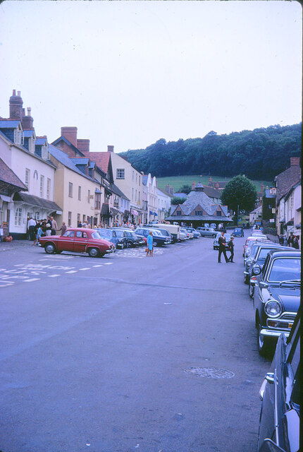
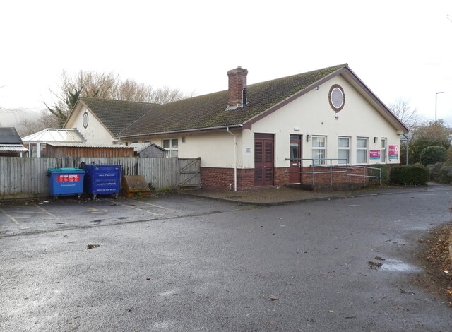
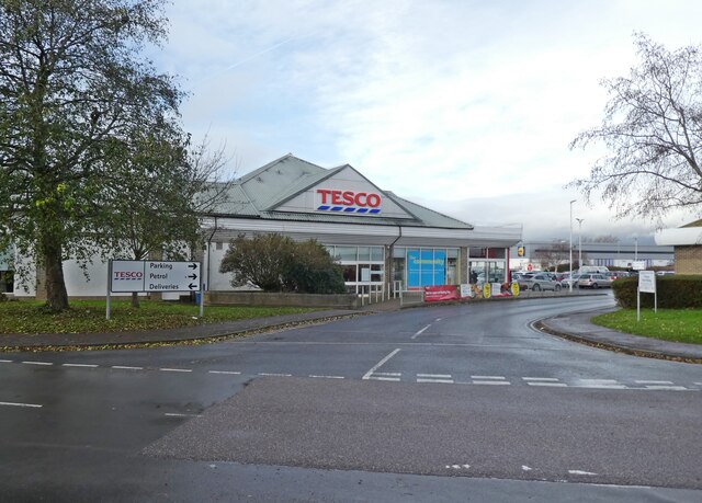
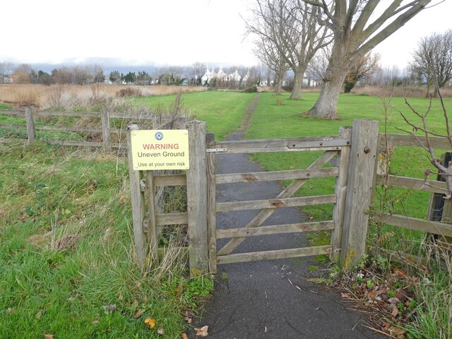
Images are sourced within 2km of 51.189603/-3.4680475 or Grid Reference SS9744. Thanks to Geograph Open Source API. All images are credited.


Trimps Hill is located at Grid Ref: SS9744 (Lat: 51.189603, Lng: -3.4680475)
Administrative County: Somerset
District: Somerset West and Taunton
Police Authority: Avon and Somerset
What 3 Words
///carpeted.infinite.continued. Near Minehead, Somerset
Nearby Locations
Related Wikis

West Somerset College
West Somerset College (is sometimes abbreviated to WSC and was previously known as West Somerset Community College prior to the college re-brand in September...

Grabbist Hillfort
Grabbist Hillfort is an Iron Age oval hillfort or defended enclosure, west of Dunster in Somerset, England. The site is 885.8 feet (270.0 m) long and 219...
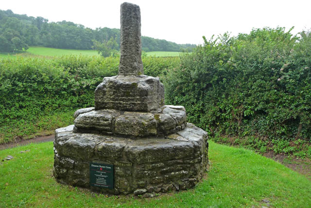
Dunster Butter Cross
The Butter Cross in Dunster within the English county of Somerset is a Grade II* listed building and scheduled monument. The cross was originally erected...

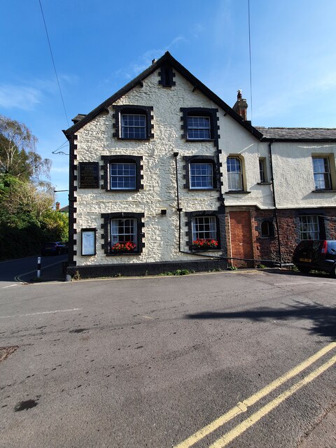
The Kildare Lodge Inn
The Kildare Lodge Inn in Minehead, Somerset, England, was built in 1905/6, and is located at 18 Townsend Road, to the south east of the town centre of...
Nearby Amenities
Located within 500m of 51.189603,-3.4680475Have you been to Trimps Hill?
Leave your review of Trimps Hill below (or comments, questions and feedback).