Staunton Wood
Wood, Forest in Somerset Somerset West and Taunton
England
Staunton Wood

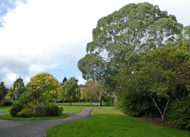
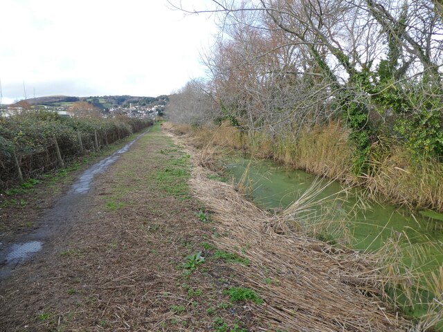
Staunton Wood, located in Somerset, England, is a picturesque forest that covers an area of approximately 100 acres. It is renowned for its natural beauty and diverse wildlife, making it a popular destination for nature enthusiasts and hikers.
The forest is characterized by its dense woodlands, comprising mainly of native tree species such as oak, beech, and ash. These trees provide a vibrant canopy that offers shade and shelter to a variety of flora and fauna. Staunton Wood is especially famous for its bluebell carpet during spring, attracting visitors from far and wide to witness the breathtaking display of colors.
The forest is crisscrossed by a network of well-maintained walking trails, allowing visitors to explore its hidden treasures at their own pace. These trails cater to all levels of fitness, from easy strolls to more challenging hikes, providing options for everyone to enjoy the beauty of the woodlands. Along the way, visitors may encounter wildlife including deer, foxes, badgers, and a wide array of bird species.
Staunton Wood is also home to a small lake, providing a tranquil spot for visitors to relax and enjoy the peaceful surroundings. The lake is abundant with aquatic life, attracting fishing enthusiasts who can try their luck catching carp and tench.
In addition to its natural beauty, the forest offers various amenities for visitors. There is a well-equipped visitor center providing information about the forest's history, wildlife, and conservation efforts. Additionally, picnic areas and benches are strategically placed throughout the woodlands, offering visitors a chance to take a break and soak in the serene atmosphere.
Overall, Staunton Wood in Somerset is a haven for nature lovers, offering a captivating blend of scenic landscapes, diverse wildlife, and recreational opportunities for all to enjoy.
If you have any feedback on the listing, please let us know in the comments section below.
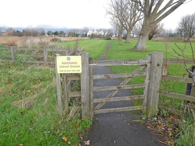
Staunton Wood Images
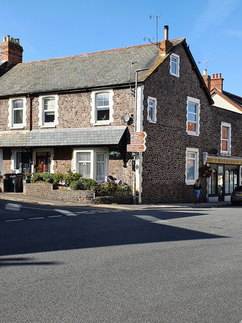
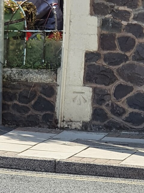
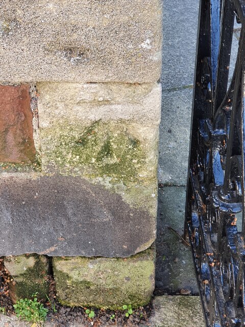
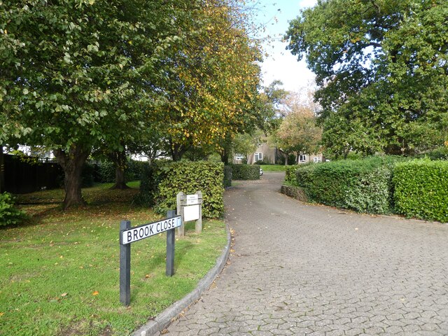
Images are sourced within 2km of 51.190344/-3.4741959 or Grid Reference SS9744. Thanks to Geograph Open Source API. All images are credited.


Staunton Wood is located at Grid Ref: SS9744 (Lat: 51.190344, Lng: -3.4741959)
Administrative County: Somerset
District: Somerset West and Taunton
Police Authority: Avon and Somerset
What 3 Words
///analogy.bandaged.prosper. Near Minehead, Somerset
Nearby Locations
Related Wikis

West Somerset College
West Somerset College (is sometimes abbreviated to WSC and was previously known as West Somerset Community College prior to the college re-brand in September...

The Kildare Lodge Inn
The Kildare Lodge Inn in Minehead, Somerset, England, was built in 1905/6, and is located at 18 Townsend Road, to the south east of the town centre of...

Grabbist Hillfort
Grabbist Hillfort is an Iron Age oval hillfort or defended enclosure, west of Dunster in Somerset, England. The site is 885.8 feet (270.0 m) long and 219...

Minehead
Minehead is a coastal town and civil parish in Somerset, England. It lies on the south bank of the Bristol Channel, 21 miles (34 km) north-west of the...
Minehead A.F.C.
Minehead Association Football Club is a football club based in Minehead, Somerset, England. The club are currently members of the Somerset County League...
Dunster Park and Heathlands
Dunster Park and Heathlands (grid reference SS955441) is a 466.6 hectare biological Site of Special Scientific Interest in Somerset, notified in 2000....
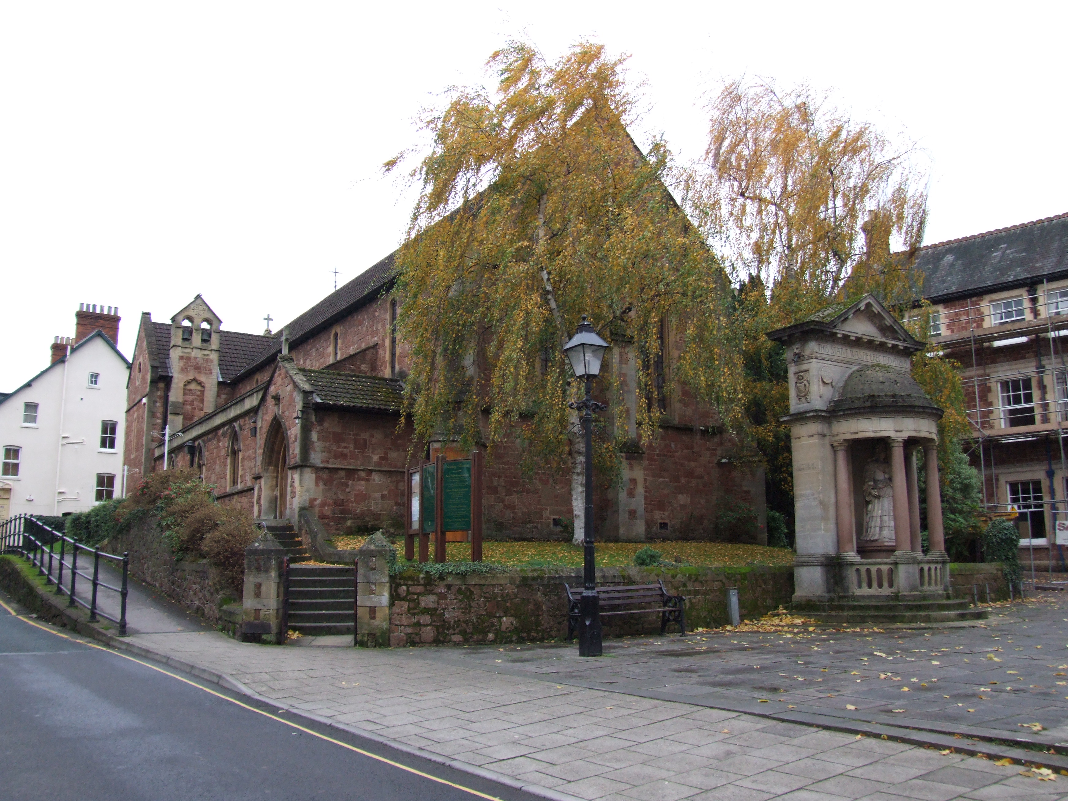
St Andrew's Church, Minehead
St Andrew's Church is a Church of England church in Minehead, Somerset, England. Designed by George Edmund Street, it was built in 1877–80 and has been...

Statue of Queen Anne, Minehead
The Statue of Queen Anne in Minehead, Somerset, England was built in 1719. It is a Grade II* listed building. == History == The statue depicts Queen Anne...
Nearby Amenities
Located within 500m of 51.190344,-3.4741959Have you been to Staunton Wood?
Leave your review of Staunton Wood below (or comments, questions and feedback).