Alder's Copse
Wood, Forest in Somerset Somerset West and Taunton
England
Alder's Copse
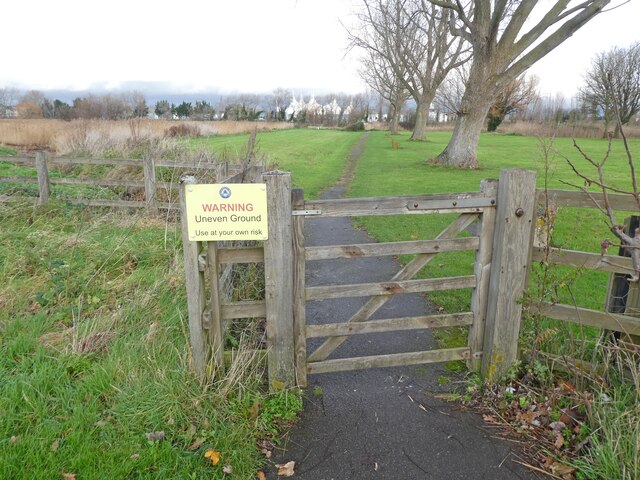
Alder's Copse is a charming woodland area located in Somerset, England. Spanning over several acres, this copse is known for its dense growth of alder trees, which give it its name. It is situated in a tranquil setting, surrounded by rolling hills and picturesque countryside.
The copse is a haven for wildlife, with an abundance of flora and fauna. The alder trees dominate the landscape, creating a dense canopy that provides a habitat for various bird species, including woodpeckers, thrushes, and owls. The forest floor is carpeted with a variety of wildflowers, ferns, and mosses, adding to the copse's natural beauty.
Visitors to Alder's Copse can enjoy a peaceful stroll along the well-maintained footpaths that wind through the woodland. The paths offer scenic viewpoints and opportunities to observe the local wildlife. The copse is also a popular spot for nature enthusiasts and photographers, who can capture the beauty of the changing seasons and the unique charm of this woodland.
Alder's Copse is easily accessible, with ample parking available nearby. The copse is open to the public year-round, and there is no admission fee. It is an ideal destination for those seeking a peaceful retreat in nature, away from the hustle and bustle of everyday life.
Overall, Alder's Copse in Somerset is a hidden gem, offering visitors a chance to immerse themselves in the beauty of a tranquil woodland, surrounded by an array of wildlife and natural wonders.
If you have any feedback on the listing, please let us know in the comments section below.
Alder's Copse Images
Images are sourced within 2km of 51.186299/-3.4747394 or Grid Reference SS9744. Thanks to Geograph Open Source API. All images are credited.


Alder's Copse is located at Grid Ref: SS9744 (Lat: 51.186299, Lng: -3.4747394)
Administrative County: Somerset
District: Somerset West and Taunton
Police Authority: Avon and Somerset
What 3 Words
///denoting.suddenly.backup. Near Minehead, Somerset
Nearby Locations
Related Wikis

Grabbist Hillfort
Grabbist Hillfort is an Iron Age oval hillfort or defended enclosure, west of Dunster in Somerset, England. The site is 885.8 feet (270.0 m) long and 219...

West Somerset College
West Somerset College (is sometimes abbreviated to WSC and was previously known as West Somerset Community College prior to the college re-brand in September...
Dunster Park and Heathlands
Dunster Park and Heathlands (grid reference SS955441) is a 466.6 hectare biological Site of Special Scientific Interest in Somerset, notified in 2000....

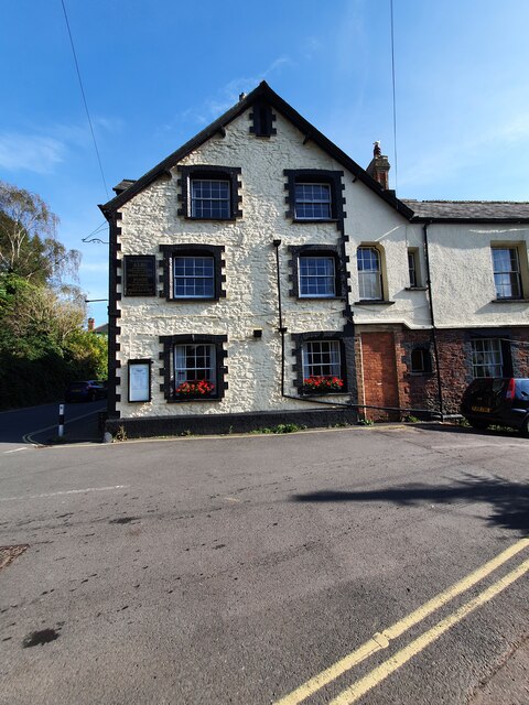
The Kildare Lodge Inn
The Kildare Lodge Inn in Minehead, Somerset, England, was built in 1905/6, and is located at 18 Townsend Road, to the south east of the town centre of...
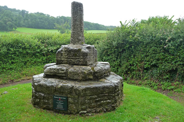
Dunster Butter Cross
The Butter Cross in Dunster within the English county of Somerset is a Grade II* listed building and scheduled monument. The cross was originally erected...
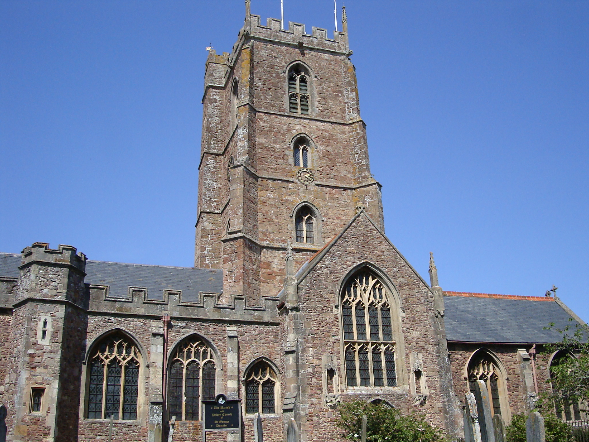
Dunster Priory
Dunster Priory was established as a Benedictine monastery around 1100 in Dunster, Somerset, England. The first church in Dunster was built by William de...

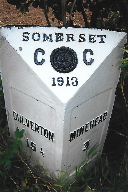
Minehead
Minehead is a coastal town and civil parish in Somerset, England. It lies on the south bank of the Bristol Channel, 21 miles (34 km) north-west of the...
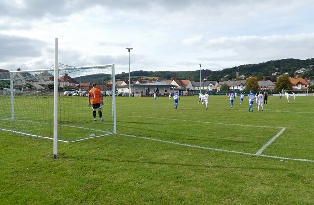
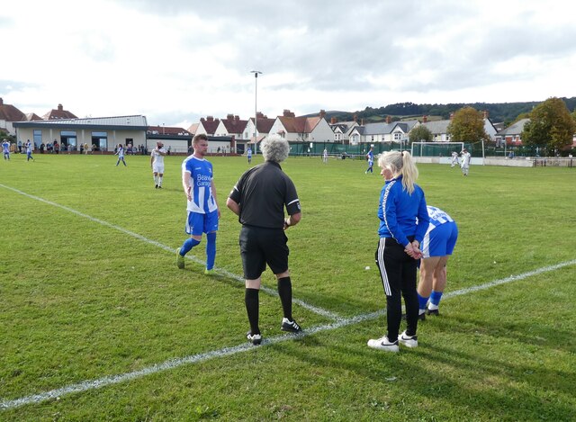
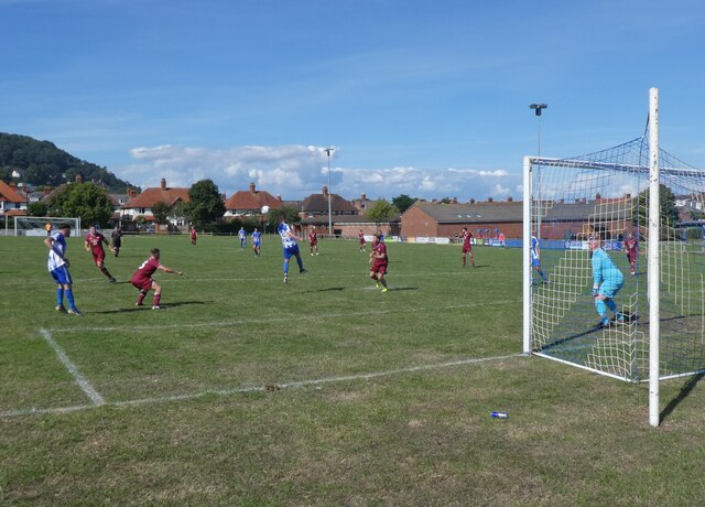
Minehead A.F.C.
Minehead Association Football Club is a football club based in Minehead, Somerset, England. The club are currently members of the Somerset County League...
Nearby Amenities
Located within 500m of 51.186299,-3.4747394Have you been to Alder's Copse?
Leave your review of Alder's Copse below (or comments, questions and feedback).