Catchmost Hill
Hill, Mountain in Somerset Somerset West and Taunton
England
Catchmost Hill

Catchmoor Hill is a prominent geographical feature located in Somerset, England. Situated near the village of Stoke St Michael, it is classified as a hill rather than a mountain, reaching a modest elevation of approximately 267 meters (876 feet). The hill is a part of the Mendip Hills, a range known for its stunning limestone landscapes.
Catchmoor Hill offers stunning panoramic views of the surrounding countryside, including the Somerset Levels to the south and the Bristol Channel to the west. Its position within the Mendip Hills also provides visitors with a unique vantage point to observe the diverse flora and fauna that thrive in this area.
The hill itself is covered in a mixture of grass and low-lying shrubs, with scattered trees dotting the landscape. It is a popular destination for hikers and walkers, who can enjoy various trails that traverse the hill, offering a range of difficulty levels to suit different abilities.
In addition to its natural beauty, Catchmoor Hill also holds historical significance. The area has been inhabited since ancient times, with evidence of prehistoric settlements and burial sites found in the vicinity. Furthermore, remnants of medieval field systems and enclosures can still be seen on the hill, providing insight into the agricultural practices of the past.
Catchmoor Hill is a cherished destination for both locals and tourists alike, offering a combination of stunning views, rich biodiversity, and a glimpse into the region's past. Whether one seeks a peaceful walk in nature or a deeper connection to Somerset's history, Catchmoor Hill is a must-visit location in this picturesque part of England.
If you have any feedback on the listing, please let us know in the comments section below.
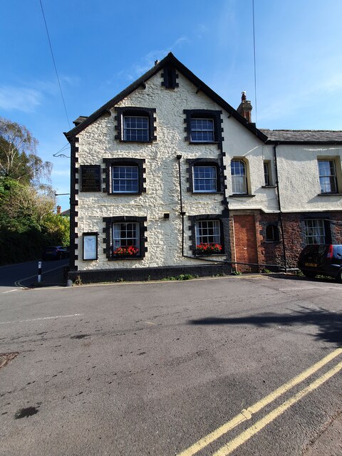
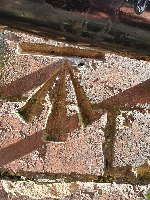
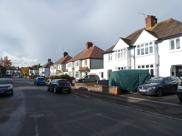
Catchmost Hill Images
Images are sourced within 2km of 51.186076/-3.4639003 or Grid Reference SS9744. Thanks to Geograph Open Source API. All images are credited.


Catchmost Hill is located at Grid Ref: SS9744 (Lat: 51.186076, Lng: -3.4639003)
Administrative County: Somerset
District: Somerset West and Taunton
Police Authority: Avon and Somerset
What 3 Words
///wells.twinkled.scar. Near Minehead, Somerset
Nearby Locations
Related Wikis

Grabbist Hillfort
Grabbist Hillfort is an Iron Age oval hillfort or defended enclosure, west of Dunster in Somerset, England. The site is 885.8 feet (270.0 m) long and 219...
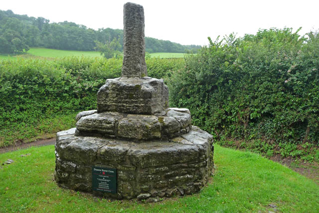
Dunster Butter Cross
The Butter Cross in Dunster within the English county of Somerset is a Grade II* listed building and scheduled monument. The cross was originally erected...
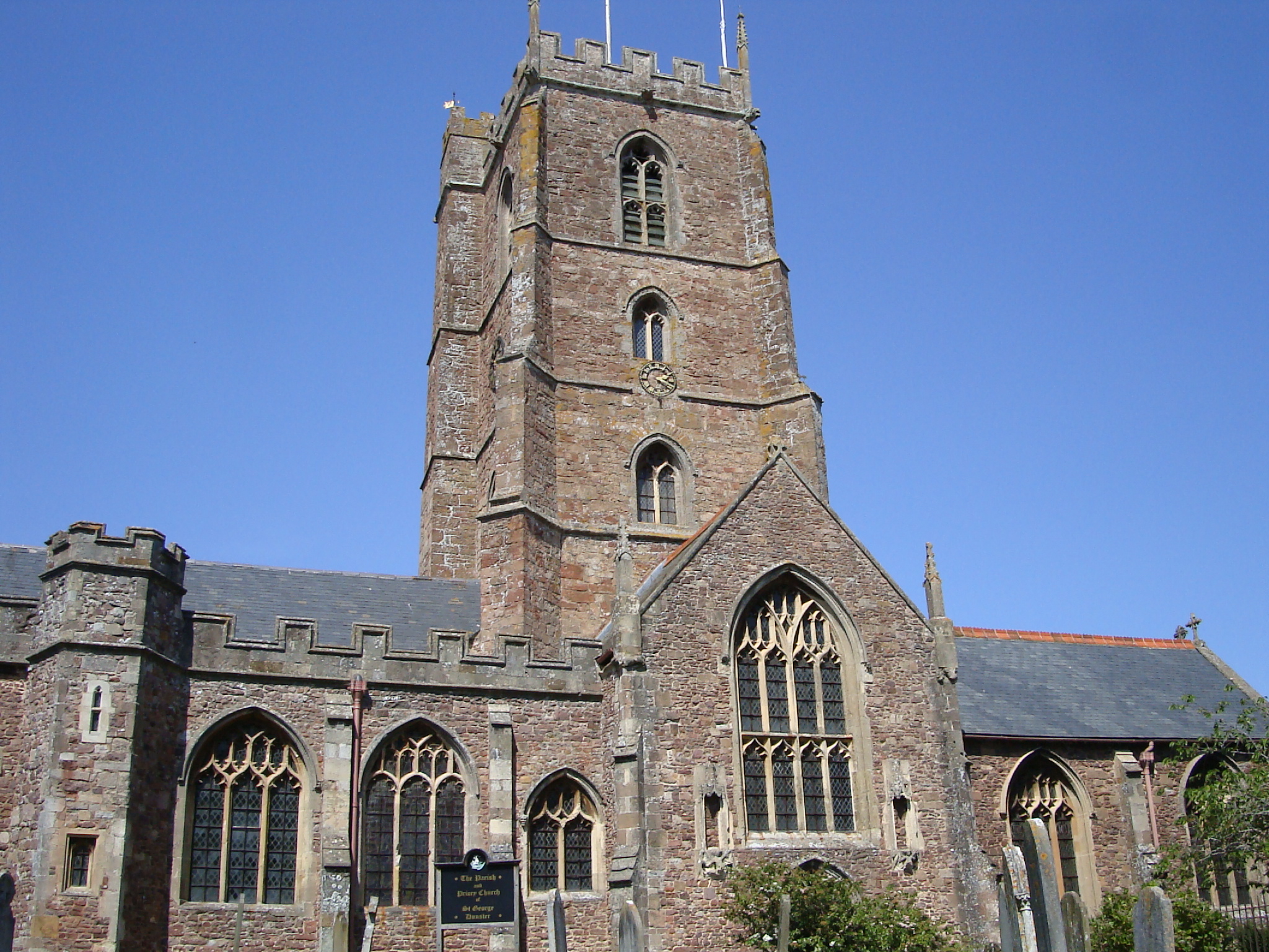
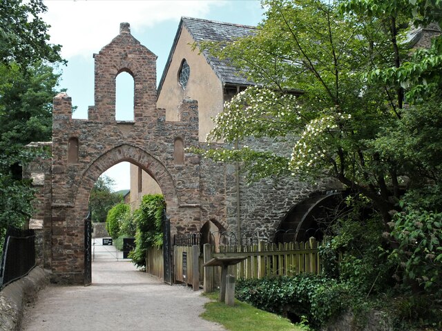
Dunster Priory
Dunster Priory was established as a Benedictine monastery around 1100 in Dunster, Somerset, England. The first church in Dunster was built by William de...

West Somerset College
West Somerset College (is sometimes abbreviated to WSC and was previously known as West Somerset Community College prior to the college re-brand in September...
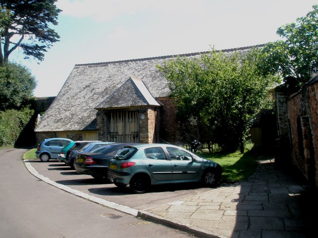
Tithe Barn, Dunster
The Tithe Barn is a 14th-century tithe barn in Dunster, Somerset, England. It has a cruciform plan. The east front has central double doors in heavy oak...

Dunster Dovecote
The Dovecote in Dunster, Somerset, England was probably built in the late 16th century. It has been designated as a Grade II* listed building and Scheduled...

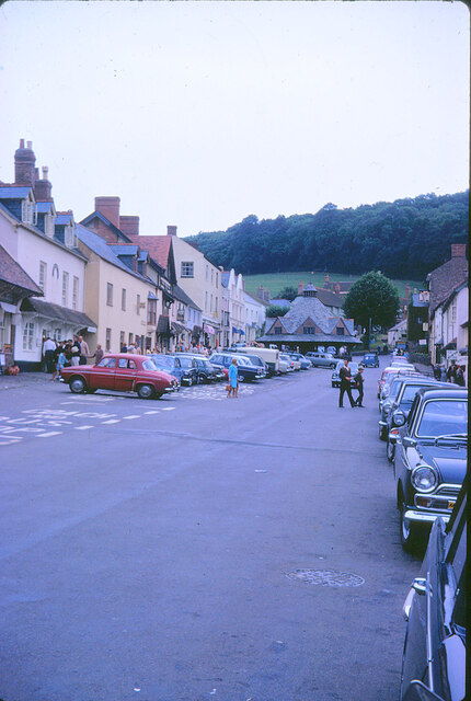
Dunster
Dunster is a village and civil parish in Somerset, England, within the north-eastern boundary of Exmoor National Park. It lies on the Bristol Channel 2...
Dunster Museum & Doll Collection
The Dunster Museum & Doll Collection in Dunster, Somerset, England houses a collection of more than 800 dolls from around the world, based on the collection...
Nearby Amenities
Located within 500m of 51.186076,-3.4639003Have you been to Catchmost Hill?
Leave your review of Catchmost Hill below (or comments, questions and feedback).