Wallamhill

Hill, Mountain in Dumfriesshire

Scotland

Wallamhill

Minor road towards Heathhall
Minor road towards Heathhall Credit: Steven Brown

Wallamhill is a prominent hill located in Dumfriesshire, Scotland. Rising to an elevation of 504 meters (1,654 feet), it is a popular destination for hikers and outdoor enthusiasts seeking panoramic views of the surrounding countryside.

The hill is characterized by its steep slopes, rocky terrain, and diverse vegetation, including heather, grasses, and scattered trees. The summit of Wallamhill offers stunning vistas of the rolling hills and valleys of Dumfriesshire, as well as the nearby Solway Firth and Lake District in England on clear days.

Visitors to Wallamhill can access the hill via several well-marked trails that wind their way through the surrounding countryside. Along the way, hikers may encounter various species of wildlife, including birds of prey, deer, and rabbits.

Overall, Wallamhill provides a challenging yet rewarding outdoor experience for those looking to explore the natural beauty of Dumfriesshire. Whether you are a seasoned hiker or a casual nature lover, a trip to Wallamhill is sure to leave you with lasting memories of Scotland's stunning landscapes.

If you have any feedback on the listing, please let us know in the comments section below.

Wallamhill Images

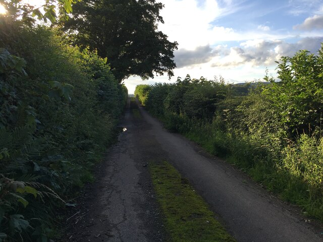
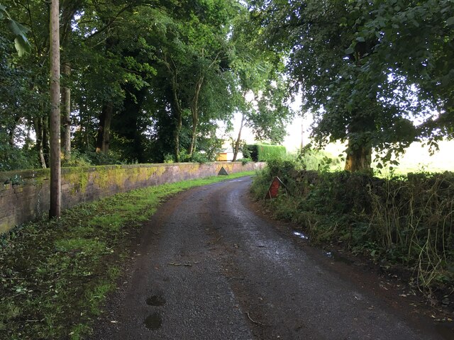
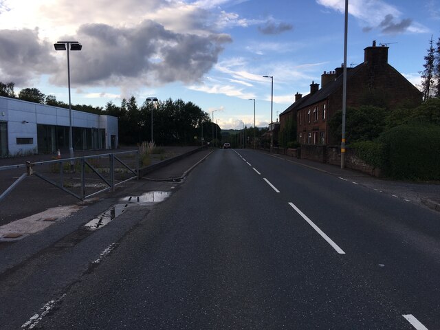
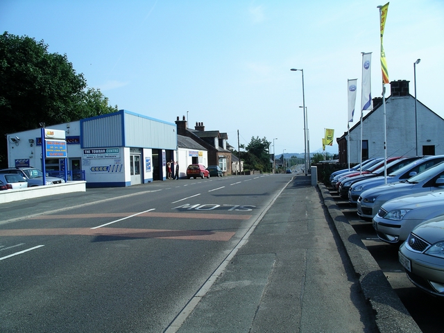
Images are sourced within 2km of 55.111064/-3.6057523 or Grid Reference NX9780. Thanks to Geograph Open Source API. All images are credited.

Minor road towards Heathhall
Carved stone in wall of St Blane's cemetery When Duncow House was demolished in the 1960s, the stone work was used to build and mend many local walls.
Carved stone in wall of St Blane's cemetery
When Duncow House was demolished in the 1960s, the stone work was used to build and mend many local walls.
Kirkmahoe War Memorial War Memorial just outside Kirkton.
Kirkmahoe War Memorial
War Memorial just outside Kirkton.
Minor road towards Duncow
Minor road near Carzield
Minor road near Kirkton
Minor road towards Heathhall
A701 at Locharbriggs
A701 near Tinwald
A701 near Tinwald
Minor road near Kirkton
Road junctions near Kirkton
A701 north through Locharbriggs Motor dealerships on the left are GK and Arnold Clark
A701 north through Locharbriggs
Motor dealerships on the left are GK and Arnold Clark
Jericho Loch
Jericho Loch
Jericho Loch
Jericho Loch
Entering Locharbriggs from the south: site of former station, 2000 View northward from footbridge over the A701. The station, which had been on the left, had been on the ex-Caledonian Railway Lockerbie - Dumfries line, being closed 19/5/52 to passengers when services ceased on the line, goods 4/5/64: the line was closed entirely from 18/4/66.
Entering Locharbriggs from the south: site of former station, 2000
View northward from footbridge over the A701. The station, which had been on the left, had been on the ex-Caledonian Railway Lockerbie - Dumfries line, being closed 19/5/52 to passengers when services ceased on the line, goods 4/5/64: the line was closed entirely from 18/4/66.
Jericho Loch Looking north across the flooded quarry that is Jerico Loch.
Jericho Loch
Looking north across the flooded quarry that is Jerico Loch.
Locharbriggs Mixed residential and industrial area on the northern outskirts of Dumfries.
Locharbriggs
Mixed residential and industrial area on the northern outskirts of Dumfries.
Show me another place!

Wallamhill is located at Grid Ref: NX9780 (Lat: 55.111064, Lng: -3.6057523)

Unitary Authority: Dumfries and Galloway

Police Authority: Dumfries and Galloway

What 3 Words

///cringes.loom.managers. Near Locharbriggs, Dumfries & Galloway

Nearby Locations

Wallamhill Cemetery Wood

Related Wikis

Kirkton, Dumfries and Galloway

Kirkton is a small village between Duncow and Dumfries in Dumfries and Galloway, Scotland. It is located near the River Nith and has a Grade B listed church...

Kirkmahoe

Kirkmahoe is a civil parish in Dumfries and Galloway. The parish contains the settlements Kirkton, where the parish church is located, Dalswinton and...

Locharbriggs railway station

Locharbriggs railway station was a station which served Locharbriggs, in the Scottish county of Dumfries and Galloway. It was served by trains on a local...

Locharbriggs

Locharbriggs is a village in Dumfries and Galloway, Scotland. It is located near the Lochar Water, 2.7 miles (4.3 km) north-northeast of the town of Dumfries...

Nearby Amenities

Located within 500m of 55.111064,-3.6057523
Bus Stop
Carnsalloch
Naptan AtcoCode: 680000706111
Naptan Bearing: NW
Naptan BusStopType: CUS
Naptan CommonName: Carnsalloch
Naptan Indicator: Road End
Naptan Landmark: Carnsalloch
Naptan NaptanCode: 34232739
Naptan Notes: none
Naptan Street: C11
Naptan Verified: no
Source: naptan_import
Lat/Long: 55.1084438/-3.6053933
Bus Stop
Carnsalloch
Naptan AtcoCode: 680000706222
Naptan Bearing: SE
Naptan BusStopType: CUS
Naptan CommonName: Carnsalloch
Naptan Indicator: opp Road End
Naptan Landmark: Carnsalloch
Naptan NaptanCode: 34232742
Naptan Notes: none
Naptan Street: C11
Naptan Verified: no
Source: naptan_import
Lat/Long: 55.1086268/-3.6051498
Noexit: yes
Lat/Long: 55.115074/-3.6092685
Power: pole
Lat/Long: 55.1100263/-3.6014745
Power: pole
Lat/Long: 55.110235/-3.6027539
Power: pole
Lat/Long: 55.1100647/-3.6041728
Power: pole
Lat/Long: 55.109138/-3.6073378
Power: pole
Lat/Long: 55.1086378/-3.6091027
Power: pole
Lat/Long: 55.1082834/-3.6102748
Power: pole
Lat/Long: 55.1141936/-3.6076211
Power: pole
Lat/Long: 55.1147107/-3.6063949
Power: pole
Lat/Long: 55.1152205/-3.6051533
Power: pole
Lat/Long: 55.1143675/-3.6077576
Power: pole
Lat/Long: 55.1131387/-3.6067272
Power: pole
Lat/Long: 55.1121634/-3.6059055
Power: pole
Lat/Long: 55.1111099/-3.6050245
Power: pole
Lat/Long: 55.109134/-3.6033579
Power: pole
Lat/Long: 55.1133303/-3.6117606
Power: pole
Lat/Long: 55.1126437/-3.6110213
Power: pole
Lat/Long: 55.1122473/-3.6106015
Power: pole
Lat/Long: 55.1104129/-3.6006016
Power: pole
Lat/Long: 55.1108108/-3.5997193
Power: pole
Lat/Long: 55.1113721/-3.5992041
Power: pole
Lat/Long: 55.1120153/-3.5986181
The data included in this document is from www.openstreetmap.org. The data is made available under ODbL.

Have you been to Wallamhill?

Leave your review of Wallamhill below (or comments, questions and feedback).