Broadley Coppice

Wood, Forest in Devon East Devon

England

Broadley Coppice

Killerton : Footpath A footpath around the grounds of Killerton lit up for Christmas.
Killerton : Footpath Credit: Lewis Clarke

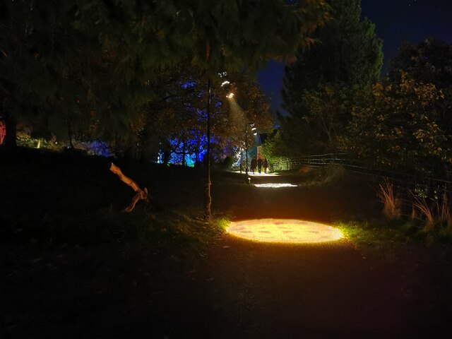
Broadley Coppice is a picturesque wood located in the county of Devon, England. It covers an area of approximately 50 acres and is characterized by its dense and diverse vegetation, making it an attractive destination for nature enthusiasts and hikers. The coppice is nestled within the larger forested area of Devon and is home to a wide range of flora and fauna.

The wood boasts a rich variety of tree species, including oak, beech, ash, and birch, which create a beautiful canopy overhead. The forest floor is covered with an array of wildflowers, such as bluebells and primroses, providing a vivid burst of color during the spring season. Additionally, the wood is also home to various ferns and mosses, adding to its enchanting ambiance.

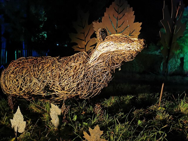
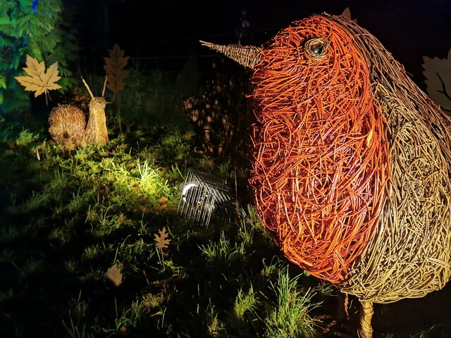
Broadley Coppice is teeming with wildlife, making it a haven for animal lovers. Visitors may spot a diverse range of species, including deer, foxes, badgers, and rabbits. The wood is also a haven for birdwatchers, with numerous species of birds, including woodpeckers, owls, and thrushes, calling it home.

The coppice offers several walking trails and footpaths, enabling visitors to explore its beauty at their own pace. These paths wind through the woodland, leading to secluded clearings and tranquil spots where one can relax and take in the peaceful surroundings. The wood is open to the public year-round and is managed by the local authorities to ensure its preservation and conservation.

In conclusion, Broadley Coppice is a captivating woodland in Devon, offering a diverse range of flora and fauna, making it a must-visit destination for nature enthusiasts and those seeking solace in the beauty of nature.

If you have any feedback on the listing, please let us know in the comments section below.

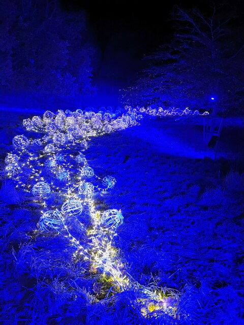
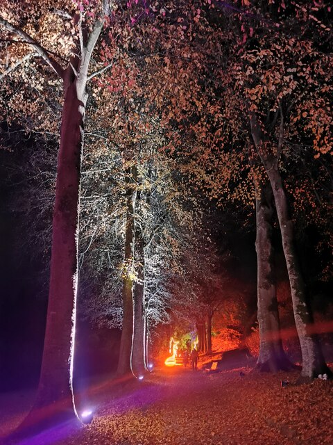
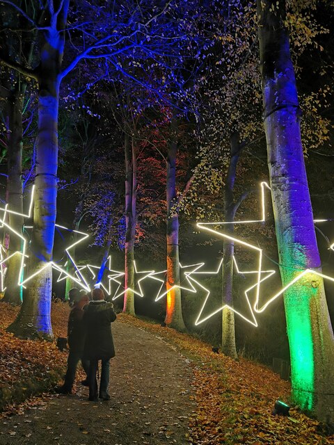
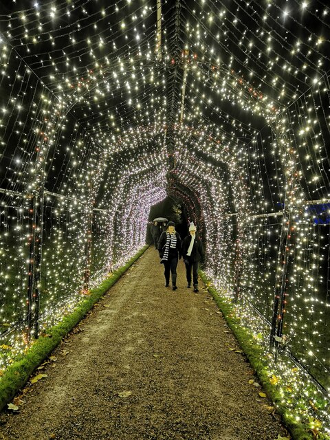
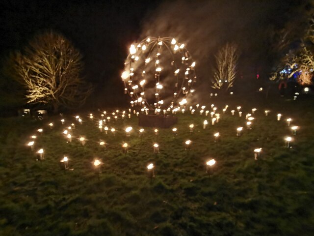
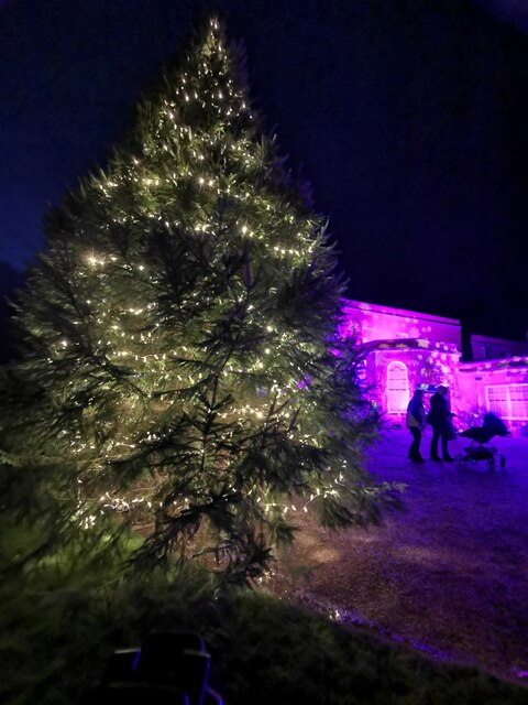
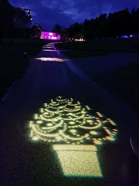
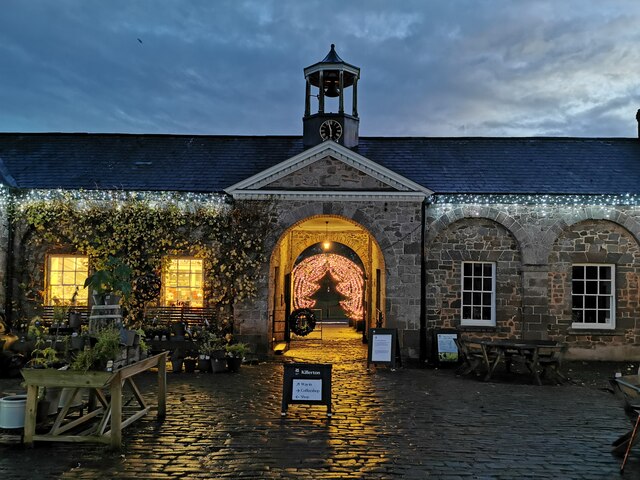
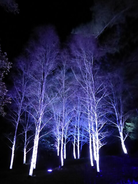
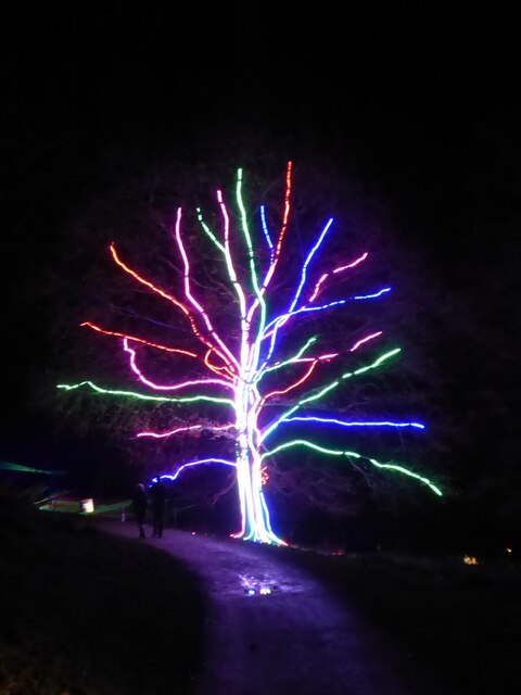
Broadley Coppice Images

Images are sourced within 2km of 50.782971/-3.4588049 or Grid Reference SX9799. Thanks to Geograph Open Source API. All images are credited.

Killerton : Footpath A footpath around the grounds of Killerton lit up for Christmas.
Killerton : Footpath
A footpath around the grounds of Killerton lit up for Christmas.
Killerton : Willow Badger A willow badger illuminated in the grounds of Killerton.
Killerton : Willow Badger
A willow badger illuminated in the grounds of Killerton.
Killerton : Willow Sculptures A willow robin and snail in the grounds of Killerton.
Killerton : Willow Sculptures
A willow robin and snail in the grounds of Killerton.
Killerton : Footpath Love hearts light up the path.
Killerton : Footpath
Love hearts light up the path.
Killerton : Footpath A footpath heads towards the lit up tree.
Killerton : Footpath
A footpath heads towards the lit up tree.
Killerton : Lights Lights illuminate the hillside.
Killerton : Lights
Lights illuminate the hillside.
Killerton : Footpath The footpath is lit up.
Killerton : Footpath
The footpath is lit up.
Killerton : Footpath Looking along a star studded footpath.
Killerton : Footpath
Looking along a star studded footpath.
Killerton : Tree A light up tree.
Killerton : Tree
A light up tree.
Killerton : Footpath People walking through an illuminated tunnel.
Killerton : Footpath
People walking through an illuminated tunnel.
Killerton : Fire Display A fire display in the grounds of Killerton.
Killerton : Fire Display
A fire display in the grounds of Killerton.
Killerton : Fire Display A fire display in Killerton.
Killerton : Fire Display
A fire display in Killerton.
Killerton : Christmas Tree The Christmas tree is up outside the house.
Killerton : Christmas Tree
The Christmas tree is up outside the house.
Killerton : Killerton House The house is lit up purple for Christmas.
Killerton : Killerton House
The house is lit up purple for Christmas.
Killerton : Footpath A footpath heads up to Killerton House. A light shows a Christmas tree.
Killerton : Footpath
A footpath heads up to Killerton House. A light shows a Christmas tree.
Killerton : The Lodge The Lodge in Killerton, and entrance to the gardens.
Killerton : The Lodge
The Lodge in Killerton, and entrance to the gardens.
Illuminated birch trees at 'Christmas at Killerton' Each Christmas there is an illuminated trail around the grounds.
Illuminated birch trees at 'Christmas at Killerton'
Each Christmas there is an illuminated trail around the grounds.
Illuminated tree at 'Christmas at Killerton' Each Christmas there is an illuminated trail around the grounds.
Illuminated tree at 'Christmas at Killerton'
Each Christmas there is an illuminated trail around the grounds.
Show me another place!

Broadley Coppice is located at Grid Ref: SX9799 (Lat: 50.782971, Lng: -3.4588049)

Administrative County: Devon

District: East Devon

Police Authority: Devon and Cornwall

What 3 Words

///hacksaw.cages.sprays. Near Silverton, Devon

Nearby Locations

Broadley Coppice

Related Wikis

Killerton

Killerton is an 18th-century house in Broadclyst, Exeter, Devon, England, which, with its hillside garden and estate, has been owned by the National Trust...

Dolbury

Dolbury is another local name for the Iron Age hill fort or enclosure at Killerton Park in Devon, England. It is referred to as such in several books and...

Poltimore

Poltimore is a village, civil parish and former manor in the East Devon district, in the county of Devon, England. It lies approximately 5 miles (8.0 km...

Beare

Beare is a village in the civil parish of Broadclyst in Devon, England. == References == == External links == Media related to Beare at Wikimedia Commons

Nearby Amenities

Located within 500m of 50.782971,-3.4588049
Danes Cross
Junction: yes
Source: OS_OpenData_StreetView
Lat/Long: 50.7837639/-3.4625054
Barrier: stile
Lat/Long: 50.7817237/-3.4538545
Brand: National Grid
Brand Wikidata: Q1465461
Material: wood
Operator: National Grid Electricity Distribution Plc
Operator Old: Western Power Distribution
Operator Wikidata: Q7988183
Owner: National Grid Electricity Distribution (South West) Plc
Owner Wikidata: Q114397866
Power: pole
Lat/Long: 50.7852491/-3.4539093
Brand: National Grid
Brand Wikidata: Q1465461
Material: wood
Operator: National Grid Electricity Distribution Plc
Operator Old: Western Power Distribution
Operator Wikidata: Q7988183
Owner: National Grid Electricity Distribution (South West) Plc
Owner Wikidata: Q114397866
Power: pole
Lat/Long: 50.7850822/-3.4551289
Brand: National Grid
Brand Wikidata: Q1465461
Material: wood
Operator: National Grid Electricity Distribution Plc
Operator Old: Western Power Distribution
Operator Wikidata: Q7988183
Owner: National Grid Electricity Distribution (South West) Plc
Owner Wikidata: Q114397866
Power: pole
Lat/Long: 50.7848727/-3.4565933
Brand: National Grid
Brand Wikidata: Q1465461
Material: wood
Operator: National Grid Electricity Distribution Plc
Operator Old: Western Power Distribution
Operator Wikidata: Q7988183
Owner: National Grid Electricity Distribution (South West) Plc
Owner Wikidata: Q114397866
Power: pole
Lat/Long: 50.7846784/-3.4580577
Brand: National Grid
Brand Wikidata: Q1465461
Material: wood
Operator: National Grid Electricity Distribution Plc
Operator Old: Western Power Distribution
Operator Wikidata: Q7988183
Owner: National Grid Electricity Distribution (South West) Plc
Owner Wikidata: Q114397866
Power: pole
Lat/Long: 50.7844993/-3.459402
Brand: National Grid
Brand Wikidata: Q1465461
Material: wood
Operator: National Grid Electricity Distribution Plc
Operator Old: Western Power Distribution
Operator Wikidata: Q7988183
Owner: National Grid Electricity Distribution (South West) Plc
Owner Wikidata: Q114397866
Power: pole
Lat/Long: 50.784302/-3.4607992
Brand: National Grid
Brand Wikidata: Q1465461
Material: wood
Operator: National Grid Electricity Distribution Plc
Operator Old: Western Power Distribution
Operator Wikidata: Q7988183
Owner: National Grid Electricity Distribution (South West) Plc
Owner Wikidata: Q114397866
Power: pole
Lat/Long: 50.7841181/-3.4621875
Watering Place
Access: private
Lat/Long: 50.7861096/-3.4582534
Watering Place
Access: private
Lat/Long: 50.7862418/-3.4566658
Watering Place
Access: private
Lat/Long: 50.7863972/-3.4552807
Watering Place
Access: private
Lat/Long: 50.7815587/-3.4561095
Barrier: stile
Lat/Long: 50.7870167/-3.4595874
The data included in this document is from www.openstreetmap.org. The data is made available under ODbL.

Have you been to Broadley Coppice?

Leave your review of Broadley Coppice below (or comments, questions and feedback).