Tedbridge Copse

Wood, Forest in Devon Mid Devon

England

Tedbridge Copse

Field Edge view from Christ Cross Triangulation Pillar Looking south-westward.
Field Edge view from Christ Cross Triangulation Pillar Credit: Peter Wood

The requested URL returned error: 429 Too Many Requests

If you have any feedback on the listing, please let us know in the comments section below.

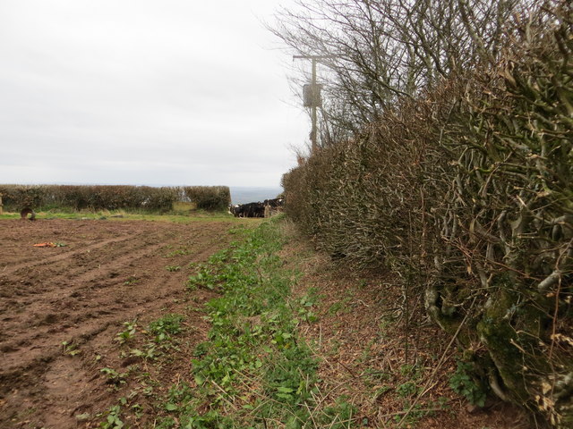
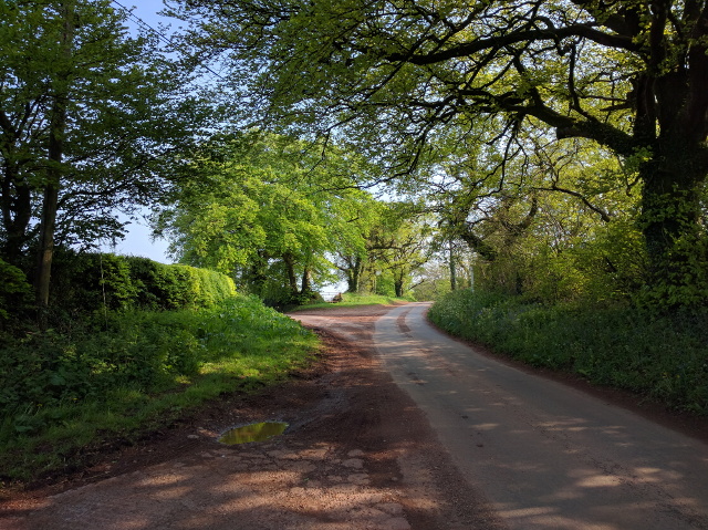
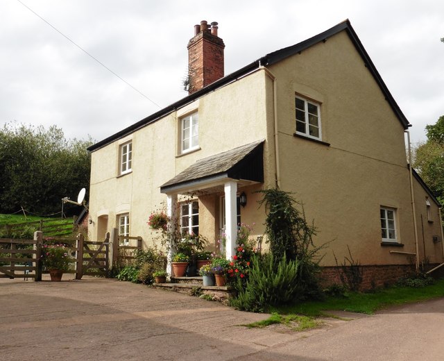
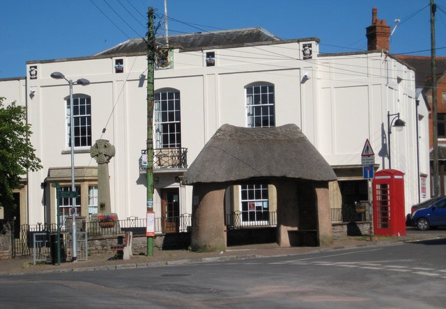
Tedbridge Copse Images

Images are sourced within 2km of 50.8334/-3.4606183 or Grid Reference SS9704. Thanks to Geograph Open Source API. All images are credited.

Field Edge view from Christ Cross Triangulation Pillar Looking south-westward.
Field Edge view from Christ Cross Triangulation Pillar
Looking south-westward.
Shady lane near Hawk Aller, looking west
Lane junction at Queensborough Farm
Queensborough Farm
Queensborough Farm
Christ Cross junction, looking south towards Silverton
Farm buildings and the private lane to Chapelhaies
Forward Green Cross
Forward Green Cross
Minor road on Rode Moor
Arable land on Rode Moor
Ash Farm
Ash Farm
Rear of Ash Farm
Rear of Ash Farm
House on Old Butterleigh Road
Junction with Caseberry Lane
Hill above Silverton Seen from Christcross Lane. The hill is 208m up from sea level
Hill above Silverton
Seen from Christcross Lane. The hill is 208m up from sea level
Mid Devon : Land Farm Looking along a track through Land Farm.
Mid Devon : Land Farm
Looking along a track through Land Farm.
Silverton: lane from Christ Cross to Beacon Cross On the parish boundary with Bradninch
Silverton: lane from Christ Cross to Beacon Cross
On the parish boundary with Bradninch
Silverton: view to Higher Brithayes, Butterleigh Seen from the old lane above Great Dorweeke. There was a tannery at Higher Brithayes in the 18th century; it ceased to be a farm early in the 21st century
Silverton: view to Higher Brithayes, Butterleigh
Seen from the old lane above Great Dorweeke. There was a tannery at Higher Brithayes in the 18th century; it ceased to be a farm early in the 21st century
Silverton: cattle near Moorland Looking south-south-east with Moorland farm beyond
Silverton: cattle near Moorland
Looking south-south-east with Moorland farm beyond
Show me another place!

Tedbridge Copse is located at Grid Ref: SS9704 (Lat: 50.8334, Lng: -3.4606183)

Administrative County: Devon

District: Mid Devon

Police Authority: Devon and Cornwall

What 3 Words

///vivid.sensibly.flexed. Near Silverton, Devon

Related Wikis

Silverton Park

Silverton Park, also known locally as Egremont House, was a large neoclassical mansion in the parish of Silverton, Devon, England. == History == It was...

Manor of Silverton

The manor of Silverton was an historic manor in the parish of Silverton in Devon. The last version of the manor house was Silverton Park (also called Egremont...

Silverton, Devon

Silverton is a large village and civil parish, about 8 miles (13 km) north of Exeter, in the English county of Devon. It is one of the oldest villages...

Bradninch Guildhall

Bradninch Guildhall is a municipal building in Fore Street, Bradninch, Devon, England. The structure, which is now used as a community events venue, is...

Nearby Amenities

Located within 500m of 50.8334,-3.4606183
Power: pole
Lat/Long: 50.835466/-3.4551069
Power: pole
Lat/Long: 50.8357971/-3.4556231
Power: pole
Lat/Long: 50.8370882/-3.4578472
Power: pole
Lat/Long: 50.8372645/-3.4579341
Power: pole
Lat/Long: 50.8374674/-3.4585031
Power: pole
Lat/Long: 50.8376737/-3.4590825
Chapelhaies
Place: locality
Lat/Long: 50.8368328/-3.4595903
Generator Method: photovoltaic
Generator Output Electricity: yes
Generator Source: solar
Generator Type: solar_photovoltaic_panel
Location: roof
Power: generator
Lat/Long: 50.837515/-3.4606089
Generator Method: photovoltaic
Generator Output Electricity: yes
Generator Source: solar
Generator Type: solar_photovoltaic_panel
Location: roof
Power: generator
Lat/Long: 50.8375234/-3.4606867
Generator Method: photovoltaic
Generator Output Electricity: yes
Generator Source: solar
Generator Type: solar_photovoltaic_panel
Location: roof
Power: generator
Lat/Long: 50.8375395/-3.4608194
Generator Method: photovoltaic
Generator Output Electricity: yes
Generator Source: solar
Generator Type: solar_photovoltaic_panel
Location: roof
Power: generator
Lat/Long: 50.8375531/-3.46092
The data included in this document is from www.openstreetmap.org. The data is made available under ODbL.

Have you been to Tedbridge Copse?

Leave your review of Tedbridge Copse below (or comments, questions and feedback).