Scudley Wood

Wood, Forest in Somerset Somerset West and Taunton

England

Scudley Wood

Houses, cars and a public telephone box at Skilgate
Houses, cars and a public telephone box at Skilgate Credit: Rob Purvis

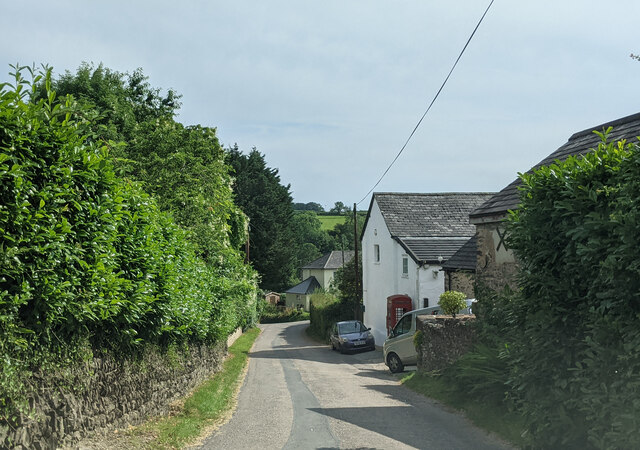
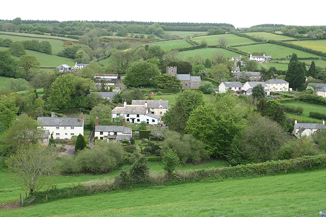
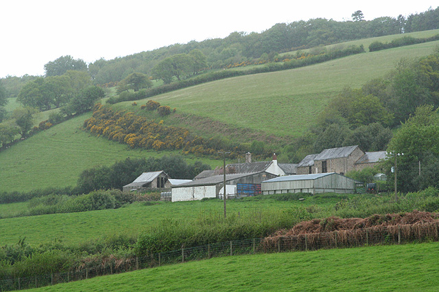
Scudley Wood is a picturesque forest located in the county of Somerset, England. Spanning an area of approximately 100 acres, it is a popular destination for nature enthusiasts and outdoor adventurers. The wood is situated near the town of Scudley, which is known for its quaint charm and historical significance.

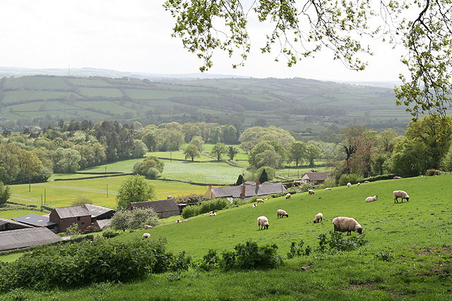
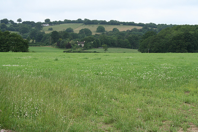
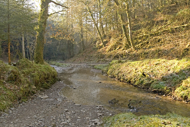
The wood is characterized by its dense canopy of ancient oak, beech, and ash trees, creating a serene and peaceful atmosphere. It is home to a diverse range of flora and fauna, including various species of birds, mammals, and insects. The forest floor is adorned with vibrant wildflowers and ferns, creating a colorful tapestry during the spring and summer months.

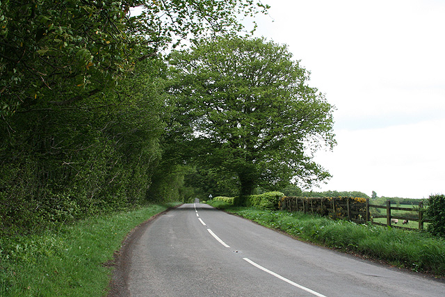
Scudley Wood offers a network of well-maintained trails that wind through the forest, providing visitors with the opportunity to explore its natural beauty. These trails cater to different skill levels, offering options for both leisurely strolls and more challenging hikes. Along the way, visitors can discover hidden streams, small ponds, and ancient stone walls, adding to the charm and intrigue of the woodland.

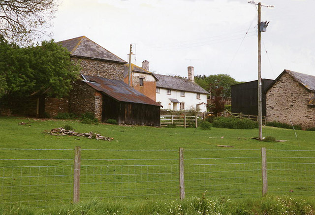
The wood has a rich history, with evidence of human activity dating back centuries. It is believed that the forest was once used for timber production and charcoal burning, serving as an important resource for the local community. Today, remnants of these activities can still be seen, adding a sense of historical significance to the area.

Overall, Scudley Wood in Somerset offers a tranquil escape from the hustle and bustle of everyday life. With its stunning natural beauty and historical significance, it is a must-visit destination for those seeking a connection with nature and a glimpse into the past.

If you have any feedback on the listing, please let us know in the comments section below.

Scudley Wood Images

Images are sourced within 2km of 51.028716/-3.4671786 or Grid Reference SS9726. Thanks to Geograph Open Source API. All images are credited.

Houses, cars and a public telephone box at Skilgate
Morebath : Timewell Hill, B3190 Looking along the road.
Morebath : Timewell Hill, B3190
Looking along the road.
Morebath : Timewell Hill, B3190 A car tries to barge through cattle which have escaped onto the road.
Morebath : Timewell Hill, B3190
A car tries to barge through cattle which have escaped onto the road.
Morebath : Timewell Hill, B3190 Looking along the road where cows have caused some traffic issues.
Morebath : Timewell Hill, B3190
Looking along the road where cows have caused some traffic issues.
Morebath : Timewell Hill, B3190 Looking along a road with cows in it.
Morebath : Timewell Hill, B3190
Looking along a road with cows in it.
Claypits Claypits is a widespread collection of dwellings near Morebath.
Claypits
Claypits is a widespread collection of dwellings near Morebath.
Court Farm Some of the buildings of Court Farm are just visible at the end of this track
Court Farm
Some of the buildings of Court Farm are just visible at the end of this track
Skilgate: Surridge Farm The building nearest the camera was apparently a water-powered saw mill. The leat has long since been ploughed up and the millpond is now a small copse. To left of the building a large overshot waterwheel survived in 1996, in an overgrown wheelpit
Skilgate: Surridge Farm
The building nearest the camera was apparently a water-powered saw mill. The leat has long since been ploughed up and the millpond is now a small copse. To left of the building a large overshot waterwheel survived in 1996, in an overgrown wheelpit
Skilgate: St John’s church The tower dates from the 14th century; the body of the church was rebuilt in 1872
Skilgate: St John’s church
The tower dates from the 14th century; the body of the church was rebuilt in 1872
Bampton: above Quartley Farm Looking south west. The town of Bampton is beyond the first hill on the left
Bampton: above Quartley Farm
Looking south west. The town of Bampton is beyond the first hill on the left
Skilgate: towards the village Seen from the track and public footpath from Haynes Down. Looking north
Skilgate: towards the village
Seen from the track and public footpath from Haynes Down. Looking north
Skilgate: the B3190 on Haddon Hill Looking east-north-east towards Upton on the Bampton-Watchet road
Skilgate: the B3190 on Haddon Hill
Looking east-north-east towards Upton on the Bampton-Watchet road
Skilgate: Chapple Farm Looking north west in wet weather
Skilgate: Chapple Farm
Looking north west in wet weather
Morebath: Timewell House Looking north on the Bampton-Watchet road
Morebath: Timewell House
Looking north on the Bampton-Watchet road
Skilgate: near Frogwell Cross A flock of sheep seen on the B3190 Watchet to Bampton road, looking south west. A man on a quad bike is ready for traffic coming the other way
Skilgate: near Frogwell Cross
A flock of sheep seen on the B3190 Watchet to Bampton road, looking south west. A man on a quad bike is ready for traffic coming the other way
Morebath: the Devon border Seen from the Somerset parish of Skilgate. Looking south-south-west on the road from Watchet to Bampton
Morebath: the Devon border
Seen from the Somerset parish of Skilgate. Looking south-south-west on the road from Watchet to Bampton
Morebath: near Keens Barn Looking north-north-west
Morebath: near Keens Barn
Looking north-north-west
Ben Brook, Skilgate Wood The bridleway crosses the Ben Brook at a ford which necessitates travelling downstream several metres before gaining the far bank.
Ben Brook, Skilgate Wood
The bridleway crosses the Ben Brook at a ford which necessitates travelling downstream several metres before gaining the far bank.
Show me another place!

Scudley Wood is located at Grid Ref: SS9726 (Lat: 51.028716, Lng: -3.4671786)

Administrative County: Somerset

District: Somerset West and Taunton

Police Authority: Avon and Somerset

What 3 Words

///cucumber.apprehend.fake. Near Dulverton, Somerset

Related Wikis

Skilgate

Skilgate is a village and civil parish 5 miles (8 km) east of Dulverton and 8 miles (13 km) west of Wiveliscombe in the Somerset West and Taunton district...

Church of St John, Skilgate

The Anglican Church of St John in Skilgate, Somerset, England was built in the 14th century. It is a Grade II* listed building. == History == The church...

Morebath

Morebath is an upland village in the county of Devon, England. It is mostly given over to sheep-farming, and situated on the southern edge of Exmoor. An...

St George's Church, Morebath

St George's Church, Morebath is a Grade II* listed parish church in the Church of England Diocese of Exeter in Morebath, Devon. It is part of the Hukeley...

Haddon Hill

Haddon Hill is a prominent east–west aligned ridge in west Somerset, England, close to Hartford within the civil parish of Brompton Regis. It lies on the...

Morebath Junction railway station

Morebath Junction Halt was a railway halt near the junction of the Devon and Somerset Railway and Exe Valley Railway in Devon, South West England. �...

Shillingford, Devon

Shillingford is a village two miles (3 km) northeast of Bampton on the River Batherm in Mid Devon, England, close to the border with West Somerset. It...

Bury Bridge

Bury Bridge at Bury in the parish of Brompton Regis within the English county of Somerset is a medieval packhorse bridge. It has been scheduled as an ancient...

Have you been to Scudley Wood?

Leave your review of Scudley Wood below (or comments, questions and feedback).