Skilgate Wood

Wood, Forest in Somerset Somerset West and Taunton

England

Skilgate Wood

Morebath : Timewell Hill, B3190 Looking along the road.
Morebath : Timewell Hill, B3190 Credit: Lewis Clarke

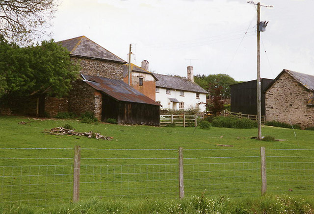
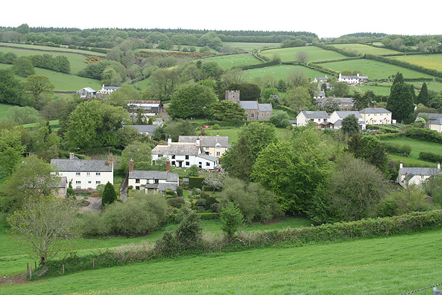
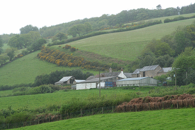
Skilgate Wood is a charming and picturesque woodland located in the county of Somerset, England. Nestled amidst the rolling hills and lush green countryside, this woodland is a haven for nature lovers and outdoor enthusiasts.

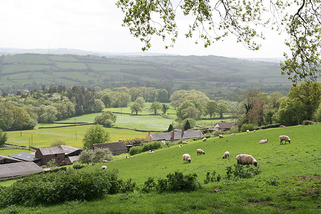
Covering an area of approximately 20 acres, Skilgate Wood is a mix of both ancient and younger trees, creating a diverse and vibrant ecosystem. The woodland is primarily composed of native tree species such as oak, ash, and beech, giving it a rich and diverse flora.

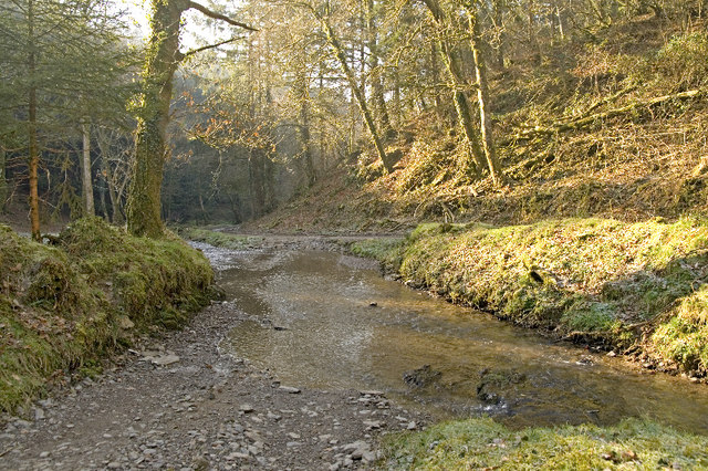
The woodland is home to a wide variety of wildlife, including birds, mammals, and insects. Visitors can often spot woodland birds such as woodpeckers, finches, and tits, as well as larger mammals like deer and foxes. The forest floor is also teeming with life, with numerous species of fungi, insects, and wildflowers.

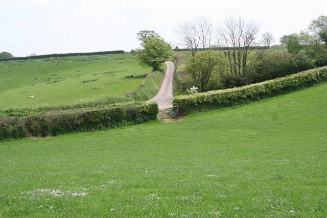
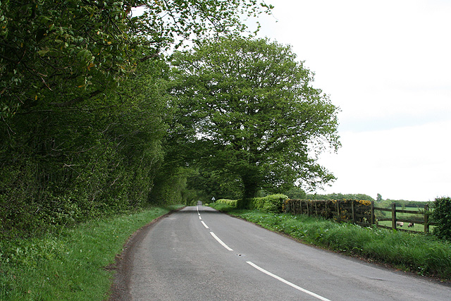
Skilgate Wood offers a tranquil and peaceful setting for visitors to explore and enjoy the beauty of nature. There are several walking trails that crisscross the woodland, allowing visitors to immerse themselves in the sights and sounds of the forest. The dappled sunlight filtering through the dense canopy creates a magical atmosphere, especially during the spring and summer months when the woodland is in full bloom.

In addition to its natural beauty, Skilgate Wood also has historical significance. The woodland has been a part of the local landscape for centuries and has witnessed the passage of time. It serves as a reminder of the rich cultural and natural heritage of Somerset.

Overall, Skilgate Wood is a hidden gem in Somerset, offering a peaceful retreat for nature enthusiasts and a glimpse into the region's diverse flora and fauna.

If you have any feedback on the listing, please let us know in the comments section below.

Skilgate Wood Images

Images are sourced within 2km of 51.029705/-3.4608067 or Grid Reference SS9726. Thanks to Geograph Open Source API. All images are credited.

Morebath : Timewell Hill, B3190 Looking along the road.
Morebath : Timewell Hill, B3190
Looking along the road.
Morebath : Timewell Hill, B3190 A car tries to barge through cattle which have escaped onto the road.
Morebath : Timewell Hill, B3190
A car tries to barge through cattle which have escaped onto the road.
Old Milestone by the B3190, Haddon Hill Metal plate attached to stone post by the B3190, in parish of SKILGATE (WEST SOMERSET District), 400m East of entrance to Haddon Hill car park, a mile West of Upton, on grass verge by road, on North side of road. Minehead iron plate, erected by the Minehead & Bampton Road turnpike trust in the 19th century. 

Inscription reads:-
13
MILES
To
Watchet 

Grade II listed. List Entry Number: 1248032
<span class="nowrap"><a title="https://historicengland.org.uk/listing/the-list/list-entry/1248032" rel="nofollow ugc noopener" href="https://historicengland.org.uk/listing/the-list/list-entry/1248032">Link</a><img style="margin-left:2px;" alt="External link" title="External link - shift click to open in new window" src="https://s1.geograph.org.uk/img/external.png" width="10" height="10"/></span>

Milestone Society National ID: SO_WTTV13.
Old Milestone by the B3190, Haddon Hill
Metal plate attached to stone post by the B3190, in parish of SKILGATE (WEST SOMERSET District), 400m East of entrance to Haddon Hill car park, a mile West of Upton, on grass verge by road, on North side of road. Minehead iron plate, erected by the Minehead & Bampton Road turnpike trust in the 19th century. Inscription reads:- 13 MILES To Watchet Grade II listed. List Entry Number: 1248032 LinkExternal link Milestone Society National ID: SO_WTTV13.
Claypits Claypits is a widespread collection of dwellings near Morebath.
Claypits
Claypits is a widespread collection of dwellings near Morebath.
Court Farm Some of the buildings of Court Farm are just visible at the end of this track
Court Farm
Some of the buildings of Court Farm are just visible at the end of this track
Skilgate: Surridge Farm The building nearest the camera was apparently a water-powered saw mill. The leat has long since been ploughed up and the millpond is now a small copse. To left of the building a large overshot waterwheel survived in 1996, in an overgrown wheelpit
Skilgate: Surridge Farm
The building nearest the camera was apparently a water-powered saw mill. The leat has long since been ploughed up and the millpond is now a small copse. To left of the building a large overshot waterwheel survived in 1996, in an overgrown wheelpit
Skilgate: St John’s church The tower dates from the 14th century; the body of the church was rebuilt in 1872
Skilgate: St John’s church
The tower dates from the 14th century; the body of the church was rebuilt in 1872
Bampton: nearing Hone Cross On the footpath from Skilgate. Looking south east
Bampton: nearing Hone Cross
On the footpath from Skilgate. Looking south east
Bampton: above Quartley Farm Looking south west. The town of Bampton is beyond the first hill on the left
Bampton: above Quartley Farm
Looking south west. The town of Bampton is beyond the first hill on the left
Skilgate: towards the village Seen from the track and public footpath from Haynes Down. Looking north
Skilgate: towards the village
Seen from the track and public footpath from Haynes Down. Looking north
Skilgate: the B3190 on Haddon Hill Looking east-north-east towards Upton on the Bampton-Watchet road
Skilgate: the B3190 on Haddon Hill
Looking east-north-east towards Upton on the Bampton-Watchet road
Skilgate: Chapple Farm Looking north west in wet weather
Skilgate: Chapple Farm
Looking north west in wet weather
Morebath: Timewell House Looking north on the Bampton-Watchet road
Morebath: Timewell House
Looking north on the Bampton-Watchet road
Skilgate: near Frogwell Cross A flock of sheep seen on the B3190 Watchet to Bampton road, looking south west. A man on a quad bike is ready for traffic coming the other way
Skilgate: near Frogwell Cross
A flock of sheep seen on the B3190 Watchet to Bampton road, looking south west. A man on a quad bike is ready for traffic coming the other way
Morebath: the Devon border Seen from the Somerset parish of Skilgate. Looking south-south-west on the road from Watchet to Bampton
Morebath: the Devon border
Seen from the Somerset parish of Skilgate. Looking south-south-west on the road from Watchet to Bampton
Ben Brook, Skilgate Wood The bridleway crosses the Ben Brook at a ford which necessitates travelling downstream several metres before gaining the far bank.
Ben Brook, Skilgate Wood
The bridleway crosses the Ben Brook at a ford which necessitates travelling downstream several metres before gaining the far bank.
St John the Baptist, Skilgate While the ring of 5 bells dates from 1629, electricity was only installed in 1972.
St John the Baptist, Skilgate
While the ring of 5 bells dates from 1629, electricity was only installed in 1972.
Village Hall, Skilgate The 1900 OS map shows "Remains of School" at roughly this location.  Presumably the bell and small tower, above the middle section, are a recognition of the earlier building.
Village Hall, Skilgate
The 1900 OS map shows "Remains of School" at roughly this location. Presumably the bell and small tower, above the middle section, are a recognition of the earlier building.
Show me another place!

Skilgate Wood is located at Grid Ref: SS9726 (Lat: 51.029705, Lng: -3.4608067)

Administrative County: Somerset

District: Somerset West and Taunton

Police Authority: Avon and Somerset

What 3 Words

///whirlwind.supporter.foam. Near Dulverton, Somerset

Related Wikis

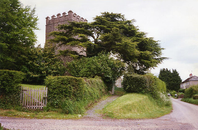
Church of St John, Skilgate

The Anglican Church of St John in Skilgate, Somerset, England was built in the 14th century. It is a Grade II* listed building. == History == The church...

Skilgate

Skilgate is a village and civil parish 5 miles (8 km) east of Dulverton and 8 miles (13 km) west of Wiveliscombe in the Somerset West and Taunton district...

Upton, Somerset

Upton is a village and civil parish north of Skilgate in Somerset, England. It is situated on a hill above the eastern end of Wimbleball Lake. == History... ==

Morebath

Morebath is an upland village in the county of Devon, England. It is mostly given over to sheep-farming, and situated on the southern edge of Exmoor. An...

Have you been to Skilgate Wood?

Leave your review of Skilgate Wood below (or comments, questions and feedback).