Broadwood Plantation
Wood, Forest in Somerset Somerset West and Taunton
England
Broadwood Plantation
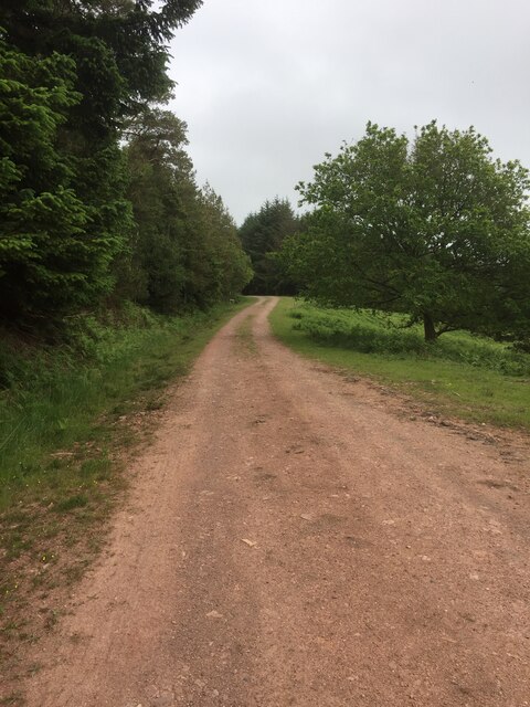
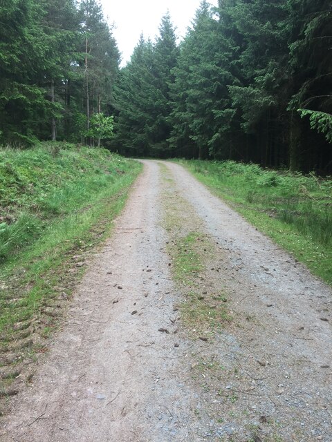
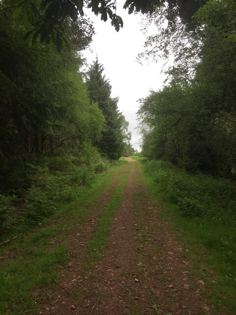
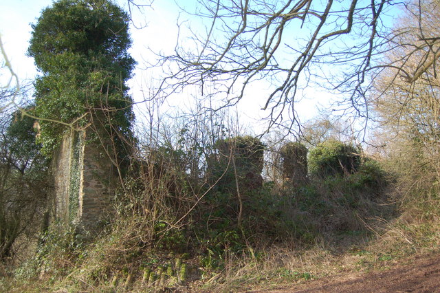
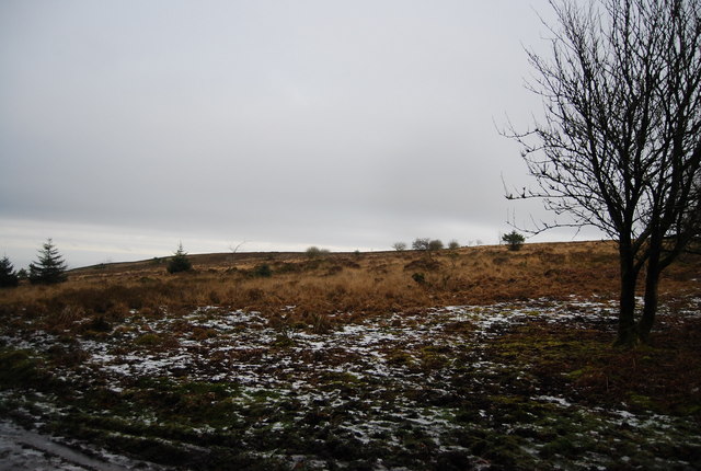
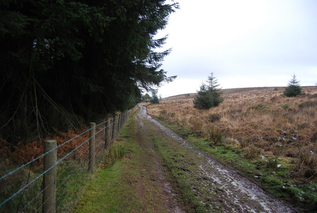
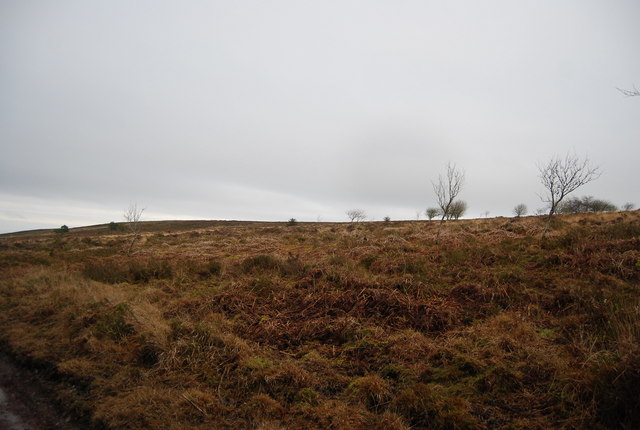
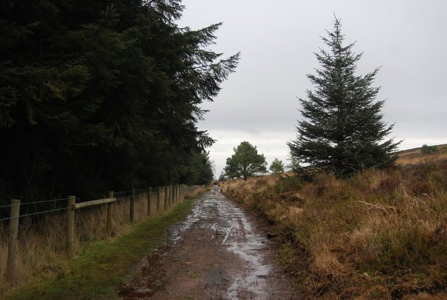
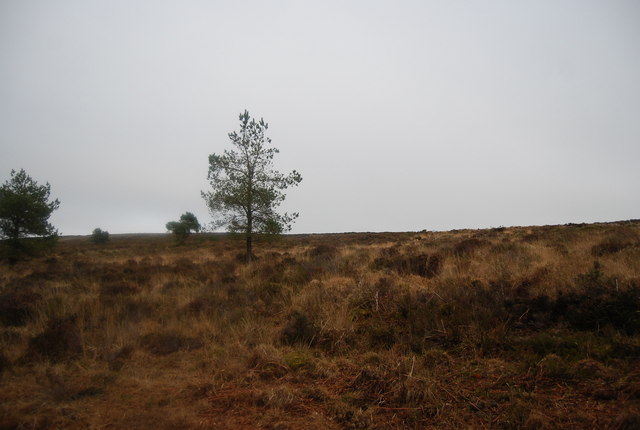
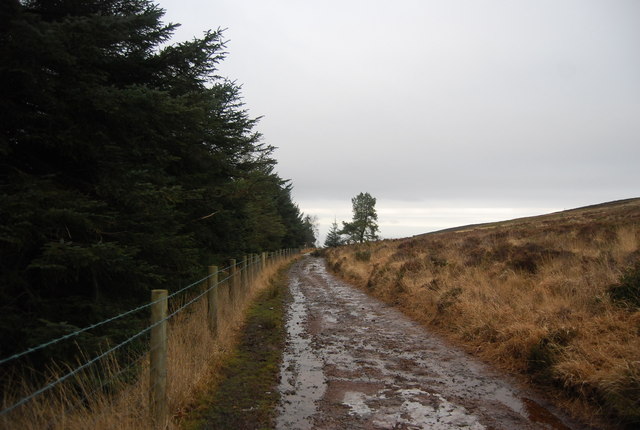
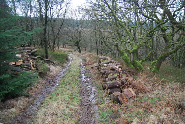
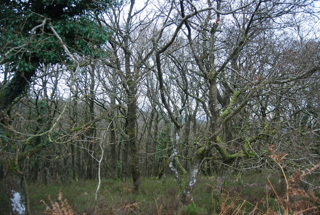
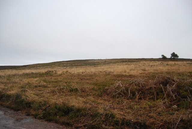
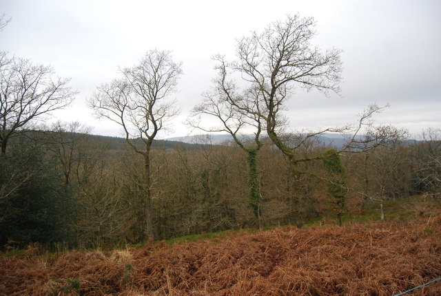
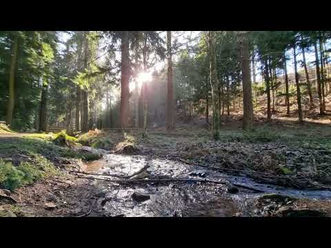
Broadwood Plantation is a picturesque and historic estate located in Somerset, England. Situated amidst a dense wood and forest area, the plantation spans across vast acres of land. The plantation is known for its stunning natural beauty, with towering trees, lush greenery, and a tranquil ambiance that attracts visitors from near and far.
The origins of Broadwood Plantation can be traced back to the 18th century when it was established by the prominent Broadwood family. Originally used for agricultural purposes, the plantation gradually evolved into a private estate renowned for its grandeur and elegance. The main house, a beautiful Georgian-style mansion, stands as the centerpiece of the estate and showcases the architectural charm of the era.
Surrounding the main house are carefully manicured gardens that add to the plantation's allure. These gardens feature vibrant flower beds, enchanting pathways, and well-maintained lawns, providing a perfect setting for leisurely strolls and outdoor activities. Additionally, the plantation boasts a small lake, which further enhances its scenic appeal.
Broadwood Plantation is not only a popular destination for nature lovers and history enthusiasts but also serves as a venue for various events and celebrations. The estate offers exquisite event spaces, including a banquet hall and outdoor pavilions, making it an ideal location for weddings, corporate gatherings, and other special occasions.
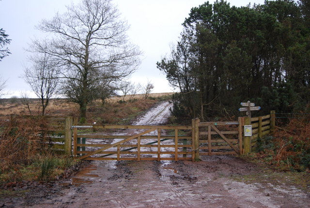
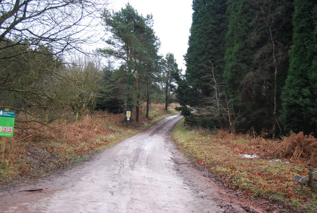
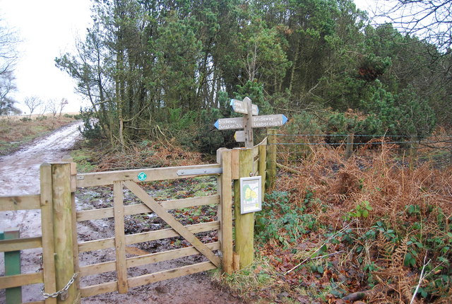
Visitors to Broadwood Plantation can enjoy guided tours of the house, exploring its well-preserved interiors and learning about the rich history of the estate. The plantation also offers recreational activities such as hiking trails, picnicking spots, and fishing opportunities, ensuring a fulfilling experience for all visitors.
Overall, Broadwood Plantation stands as a testament to Somerset's natural beauty and historical heritage, providing a serene and captivating retreat for visitors of all ages.
If you have any feedback on the listing, please let us know in the comments section below.
Broadwood Plantation Images
Images are sourced within 2km of 51.161146/-3.4647984 or Grid Reference SS9741. Thanks to Geograph Open Source API. All images are credited.
Broadwood Plantation is located at Grid Ref: SS9741 (Lat: 51.161146, Lng: -3.4647984)
Administrative County: Somerset
District: Somerset West and Taunton
Police Authority: Avon and Somerset
What 3 Words
///frowns.honeybees.bouncing. Near Minehead, Somerset
Nearby Locations
Related Wikis

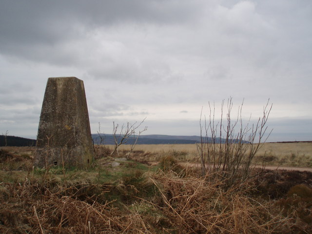
Long Wood Enclosure
Long Wood Enclosure is an enclosure which may have been a univallate Iron Age hill fort, in the West Somerset district of Somerset, England. The hill fort...
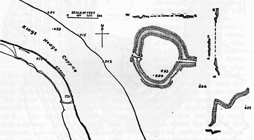
Bat's Castle
Bats Castle is an Iron Age hillfort at the top of a 213 metres (699 ft) high hill in the parish of Carhampton south south west of Dunster in Somerset,...

Black Ball Camp
Black Ball Camp is an Iron Age hillfort South West of Dunster, Somerset, England on the northern summit of Gallox Hill. It is a Scheduled Monument.It is...

Gallox Bridge, Dunster
The Gallox Bridge in Dunster, Somerset, England dates from the 15th century. It has been designated as a Grade I listed building and scheduled monument...

Grabbist Hillfort
Grabbist Hillfort is an Iron Age oval hillfort or defended enclosure, west of Dunster in Somerset, England. The site is 885.8 feet (270.0 m) long and 219...

Dunster Working Watermill
Dunster Working Watermill (also known as Castle Mill) is a restored 18th century watermill, situated on the River Avill, close to Gallox Bridge, in the...

Dunster Castle
Dunster Castle is a former motte and bailey castle, now a country house, in the village of Dunster, Somerset, England. The castle lies on the top of a...

Dunster
Dunster is a village and civil parish in Somerset, England, within the north-eastern boundary of Exmoor National Park. It lies on the Bristol Channel 2...
Related Videos
Searching for the lost village of Clicket on Exmoor!
It's a village that has been left to nature for more than 100 years. But the evidence of a community long gone is still there to find to ...


Tall Trees at Nutcombe Bottom in Dunster #dunster
Tall Trees at Nutcombe Bottom in Dunster View our channel for more ways to Discover Dunster https://www.dunster.org.uk.
Nutcombe Bottom, Tall Trees Trail in Dunster Somerset February 2023
Nutcombe Bottom, Tall Trees Trail in Dunster Somerset February 2023.
Nearby Amenities
Located within 500m of 51.161146,-3.4647984Have you been to Broadwood Plantation?
Leave your review of Broadwood Plantation below (or comments, questions and feedback).