Hats Wood
Wood, Forest in Somerset Somerset West and Taunton
England
Hats Wood
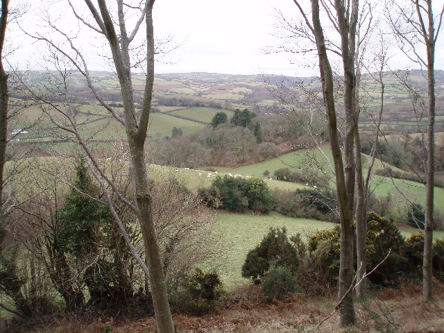
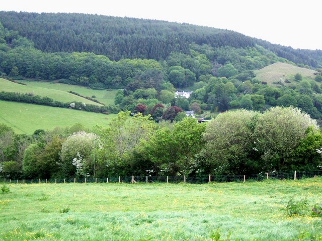
Hats Wood, located in Somerset, England, is a picturesque woodland area that offers a serene escape from the hustle and bustle of everyday life. The wood is situated near the village of Wood, and covers an area of approximately 20 acres. It is part of the larger Forest of Somerset, known for its rich biodiversity and natural beauty.
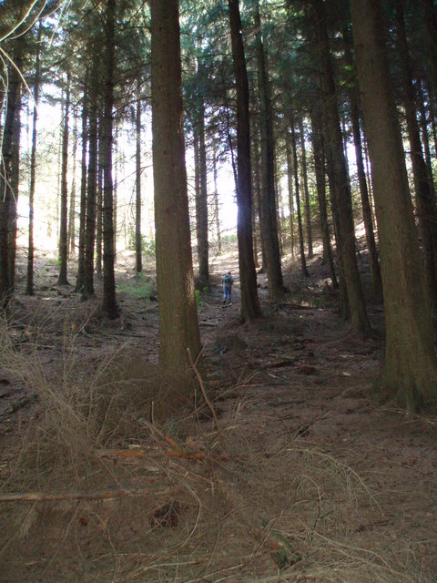
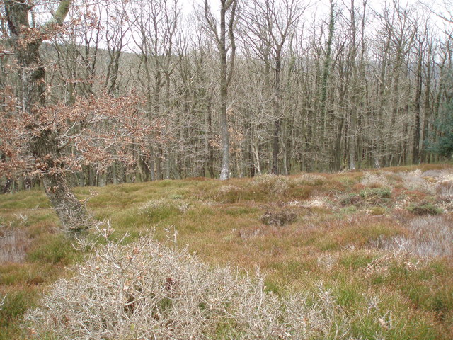
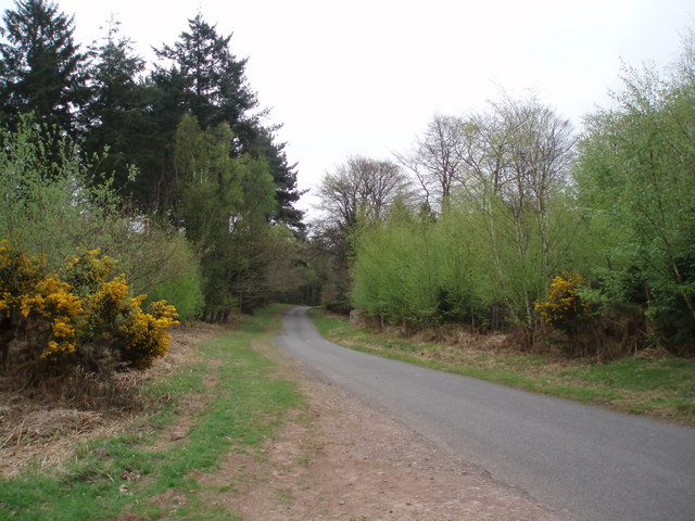
Hats Wood is characterized by its dense canopy of trees, primarily consisting of oak, beech, and ash. These towering trees provide shelter and habitat for a wide variety of wildlife, including birds, squirrels, and deer. The forest floor is adorned with a carpet of wildflowers, creating a vibrant and colorful landscape during the spring and summer months.
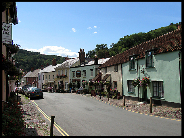
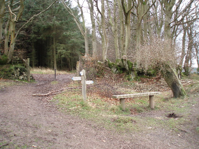
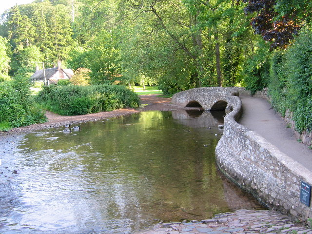
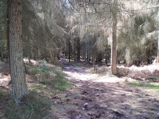
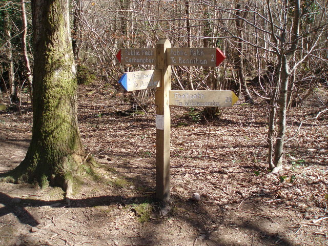
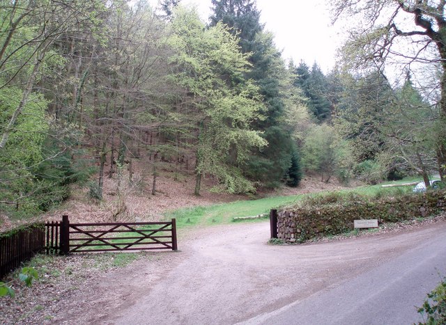
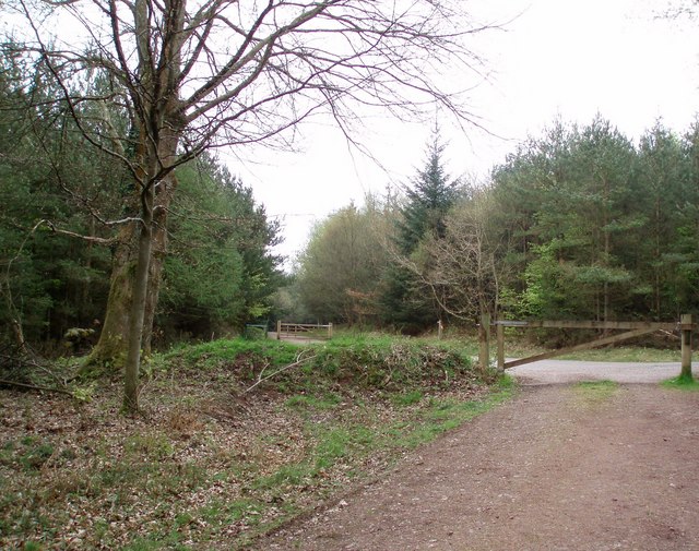
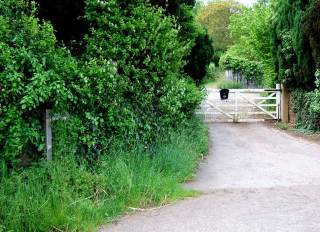
The wood is crisscrossed with a network of footpaths, allowing visitors to explore its hidden corners and discover its many wonders. These paths lead to a small stream that meanders through the forest, adding to the tranquility and charm of the area. There are also picnic areas and benches scattered throughout the wood, providing opportunities for visitors to relax and soak in the peaceful atmosphere.
Hats Wood is a popular spot for nature lovers, hikers, and birdwatchers. Its secluded location and diverse ecosystem make it an ideal place for wildlife observation and photography. The wood is managed by a local conservation group, ensuring its protection and preservation for future generations to enjoy.
In conclusion, Hats Wood is a beautiful woodland area in Somerset, offering a peaceful retreat in the heart of nature. Its lush vegetation, diverse wildlife, and tranquil ambiance make it a must-visit destination for anyone seeking a connection with the natural world.
If you have any feedback on the listing, please let us know in the comments section below.
Hats Wood Images
Images are sourced within 2km of 51.167533/-3.4653297 or Grid Reference SS9741. Thanks to Geograph Open Source API. All images are credited.
Hats Wood is located at Grid Ref: SS9741 (Lat: 51.167533, Lng: -3.4653297)
Administrative County: Somerset
District: Somerset West and Taunton
Police Authority: Avon and Somerset
What 3 Words
///rules.rumble.reduction. Near Minehead, Somerset
Nearby Locations
Related Wikis

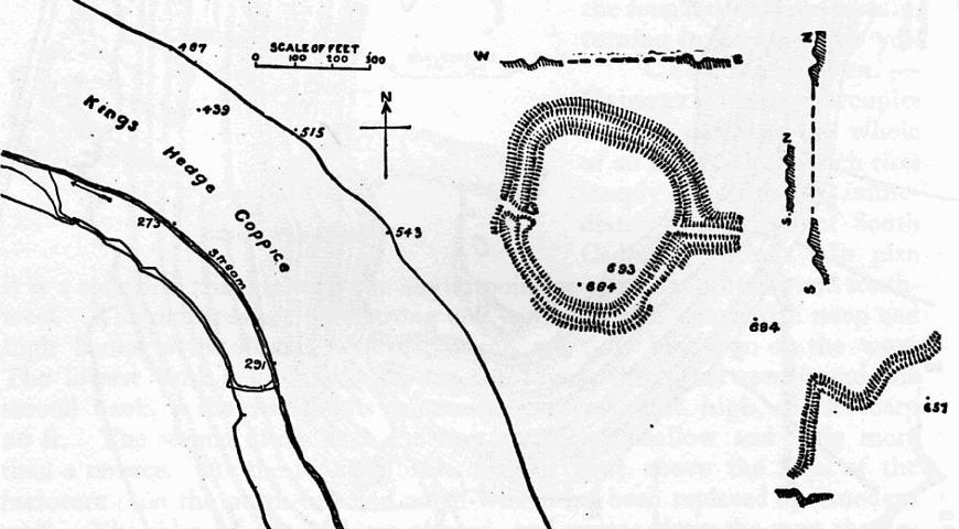
Long Wood Enclosure
Long Wood Enclosure is an enclosure which may have been a univallate Iron Age hill fort, in the West Somerset district of Somerset, England. The hill fort...

Black Ball Camp
Black Ball Camp is an Iron Age hillfort South West of Dunster, Somerset, England on the northern summit of Gallox Hill. It is a Scheduled Monument.It is...
Bat's Castle
Bats Castle is an Iron Age hillfort at the top of a 213 metres (699 ft) high hill in the parish of Carhampton south south west of Dunster in Somerset,...

Grabbist Hillfort
Grabbist Hillfort is an Iron Age oval hillfort or defended enclosure, west of Dunster in Somerset, England. The site is 885.8 feet (270.0 m) long and 219...

Gallox Bridge, Dunster
The Gallox Bridge in Dunster, Somerset, England dates from the 15th century. It has been designated as a Grade I listed building and scheduled monument...

Dunster Working Watermill
Dunster Working Watermill (also known as Castle Mill) is a restored 18th century watermill, situated on the River Avill, close to Gallox Bridge, in the...

Dunster Castle
Dunster Castle is a former motte and bailey castle, now a country house, in the village of Dunster, Somerset, England. The castle lies on the top of a...
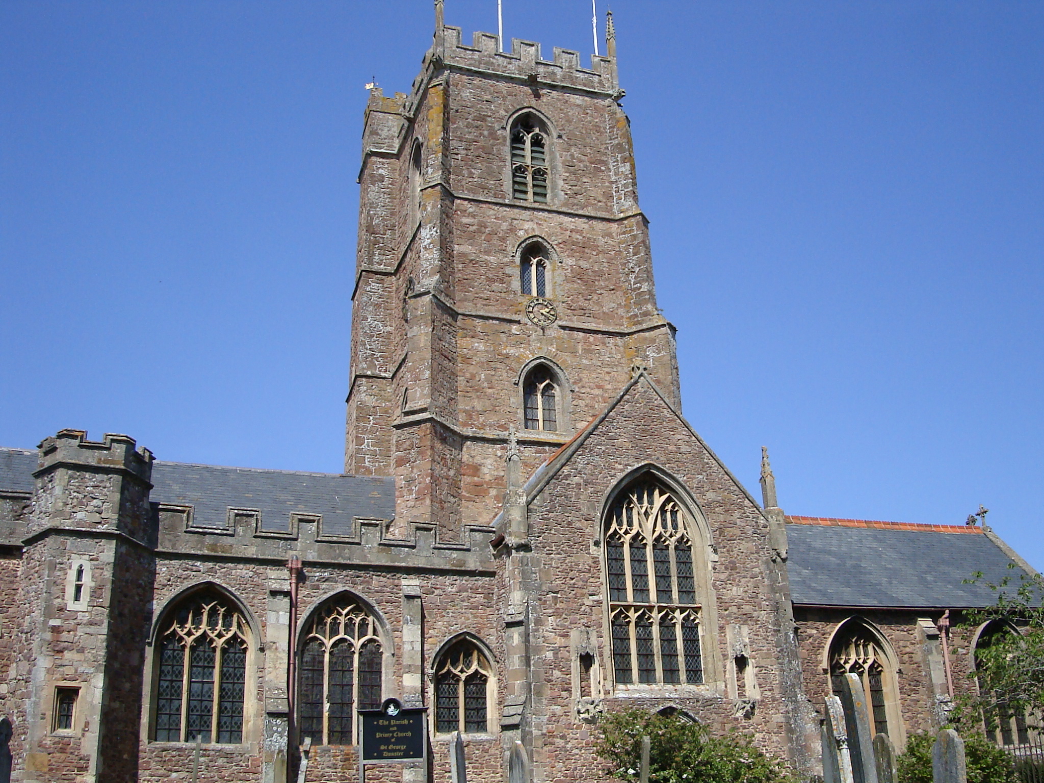
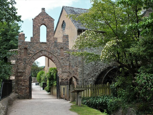
Dunster Priory
Dunster Priory was established as a Benedictine monastery around 1100 in Dunster, Somerset, England. The first church in Dunster was built by William de...
Nearby Amenities
Located within 500m of 51.167533,-3.4653297Have you been to Hats Wood?
Leave your review of Hats Wood below (or comments, questions and feedback).