Hurscombe Plantation
Wood, Forest in Somerset Somerset West and Taunton
England
Hurscombe Plantation

Hurscombe Plantation is a picturesque wood located in Somerset, England. Spanning over a vast area, this plantation is a popular destination for nature enthusiasts, hikers, and those seeking a tranquil escape from the hustle and bustle of everyday life.
Nestled amidst the rolling hills of Somerset, Hurscombe Plantation boasts a diverse range of flora and fauna. The woodland is predominantly made up of broadleaf trees, such as oak, beech, and ash, which offer a majestic canopy overhead. Walking through the plantation, visitors are greeted by a carpet of bluebells in spring, creating a stunning display of color.
The plantation is also home to a variety of wildlife, providing a haven for many species. Birdwatchers can spot a range of feathered friends, including woodpeckers, owls, and various species of songbirds. Mammals such as deer, badgers, and foxes can also be found within the woodland, adding to the natural beauty and biodiversity of the area.
Hurscombe Plantation features a network of well-maintained trails, allowing visitors to explore the wood at their own pace. These trails cater to both casual strollers and more experienced hikers, providing a range of options for all levels of fitness. Along the paths, visitors can enjoy breathtaking views of the surrounding countryside, enhancing the overall experience.
Whether it's for a leisurely stroll, a family picnic, or a chance to immerse oneself in nature's wonders, Hurscombe Plantation offers a serene and captivating experience for all who venture into its enchanting depths.
If you have any feedback on the listing, please let us know in the comments section below.
Hurscombe Plantation Images
Images are sourced within 2km of 51.079609/-3.4677175 or Grid Reference SS9732. Thanks to Geograph Open Source API. All images are credited.


Hurscombe Plantation is located at Grid Ref: SS9732 (Lat: 51.079609, Lng: -3.4677175)
Administrative County: Somerset
District: Somerset West and Taunton
Police Authority: Avon and Somerset
What 3 Words
///strictest.verve.obstruct. Near Dulverton, Somerset
Nearby Locations
Related Wikis
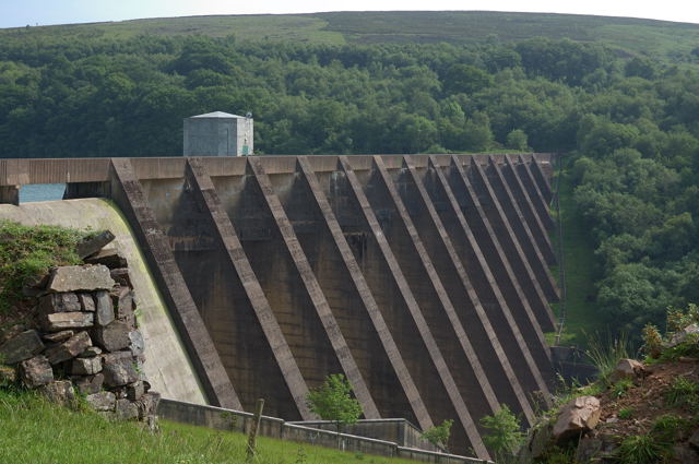
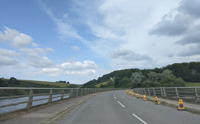
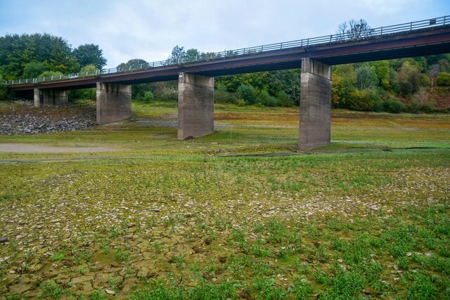
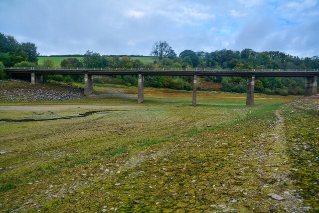
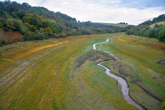
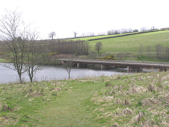
Wimbleball Lake
Wimbleball Lake on Exmoor in Somerset, England, is a water supply reservoir constructed in the 1970s and completed in 1979. The 161 feet (49 m) high dam...

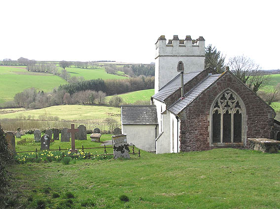
Church of St Mary Magdalene, Withiel Florey
The Anglican Church of St Mary Magdalene in Withiel Florey, Somerset, England was built in the 12th century. It is a Grade II* listed building. == History... ==

Brompton Regis
Brompton Regis (formerly known as Kingsbrompton) is a village and civil parish in the Somerset West and Taunton district of Somerset, England about 5 miles...

Church of St Mary, Brompton Regis
The Anglican Church of St Mary in Brompton Regis, Somerset, England was built in the 13th century. It is a Grade II* listed building. == History == The...
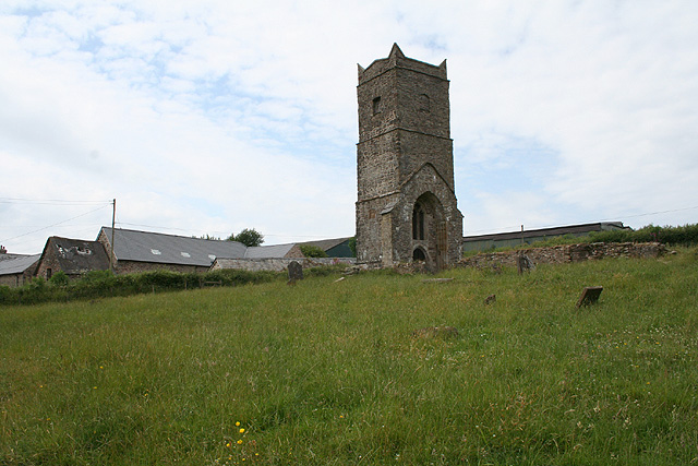
Old Church of St James, Upton
The Old St James's Church is a former church in the village of Upton, Somerset, England, of which only the tower remains, overlooking Wimbleball Lake....

Luxborough Road railway station
Luxborough Road (sometimes referred to as "Langham" or "Langham Hill") was an intermediate station on the West Somerset Mineral Railway (WSMR), which was...

Haddon Hill
Haddon Hill is a prominent east–west aligned ridge in west Somerset, England, close to Hartford within the civil parish of Brompton Regis. It lies on the...

Gupworthy railway station
Gupworthy (sometimes referred to as "Goosemoor") was originally intended as an intermediate station on the West Somerset Mineral Railway (WSMR), but neither...
Nearby Amenities
Located within 500m of 51.079609,-3.4677175Have you been to Hurscombe Plantation?
Leave your review of Hurscombe Plantation below (or comments, questions and feedback).