Dyehouse Wood

Wood, Forest in Somerset Somerset West and Taunton

England

Dyehouse Wood

Bridge in village of Bury The bridge and ford crossing the River Haddeo in the village of Bury on Somerset.
Bridge in village of Bury Credit: Philip Halling

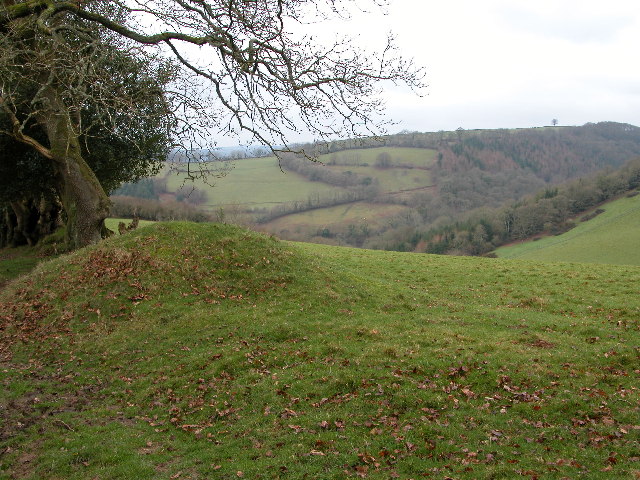
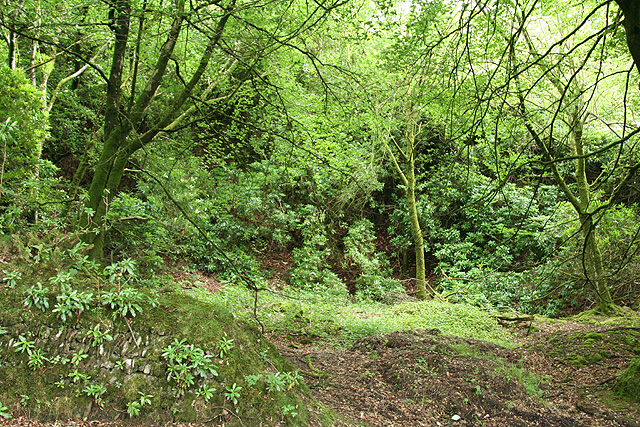
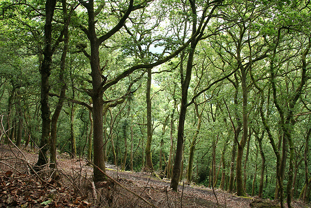
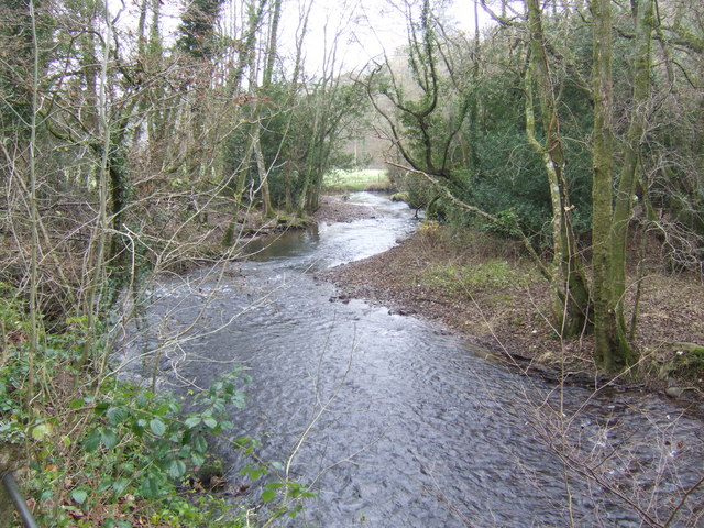
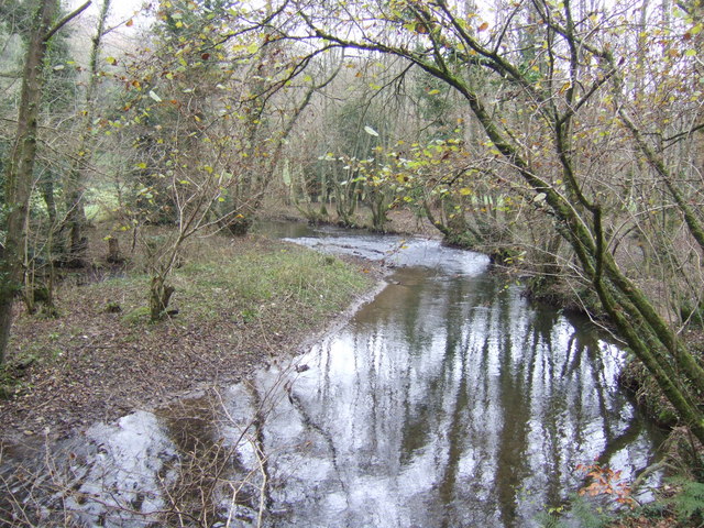
Dyehouse Wood is a beautiful woodland located in Somerset, England. Situated near the village of Witham Friary, it covers an area of approximately 30 hectares. The wood is a designated Site of Special Scientific Interest (SSSI) due to its rich biodiversity and historical significance.

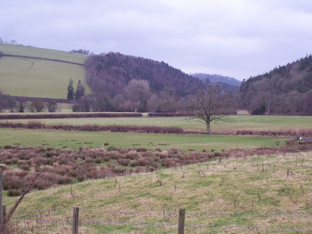
The wood is mainly composed of broadleaf trees, including oak, ash, beech, and birch. These trees create a dense canopy, providing a sheltered habitat for a variety of wildlife species. The forest floor is adorned with a carpet of bluebells and wild garlic in the spring, creating a stunning display of colors.

Dyehouse Wood has a long history dating back to the medieval period when it was used for timber production. It was also an important site for the dyeing industry in the 17th and 18th centuries, hence the name "Dyehouse." The wood was a source of natural dyes, such as woad and madder, which were used to color fabrics.

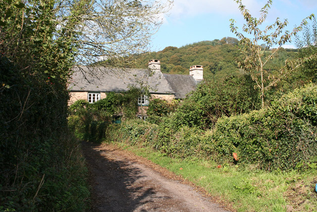
Today, the wood is managed by local conservation organizations in collaboration with the Forestry Commission. The management aims to preserve the natural habitat and protect the diverse range of species that call Dyehouse Wood their home. The wood is open to the public, and visitors can enjoy walking trails that wind through the ancient trees, providing a peaceful and tranquil setting for nature lovers.

In conclusion, Dyehouse Wood in Somerset is a picturesque woodland with a rich history and vibrant ecosystem. Its diverse flora and fauna make it a haven for wildlife enthusiasts and an ideal place for a peaceful retreat in nature.

If you have any feedback on the listing, please let us know in the comments section below.

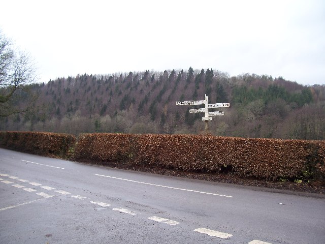
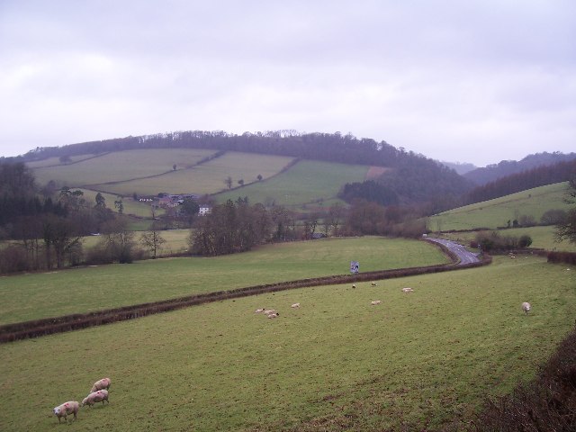
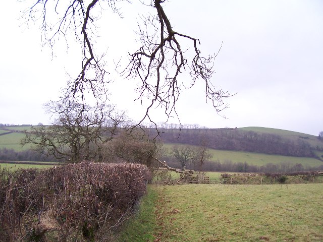
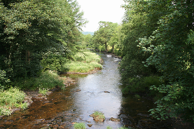
Dyehouse Wood Images

Images are sourced within 2km of 51.030706/-3.510082 or Grid Reference SS9426. Thanks to Geograph Open Source API. All images are credited.

Bridge in village of Bury The bridge and ford crossing the River Haddeo in the village of Bury on Somerset.
Bridge in village of Bury
The bridge and ford crossing the River Haddeo in the village of Bury on Somerset.
Haddeo Valley The Haddeo valley viewed from the Haddon Lane, above the village of Bury.
Haddeo Valley
The Haddeo valley viewed from the Haddon Lane, above the village of Bury.
Brompton Regis: ford and packhorse bridge at Bury Crossing the river Haddeo, a tributary of the Exe
Brompton Regis: ford and packhorse bridge at Bury
Crossing the river Haddeo, a tributary of the Exe
Brompton Regis: Hunt’s Farm The farm offers bed and breakfast and has organic eggs for sale
Brompton Regis: Hunt’s Farm
The farm offers bed and breakfast and has organic eggs for sale
Farmland near Willishayes Farm Farmland just south of Willishayes Farm, looking southwards
Farmland near Willishayes Farm
Farmland just south of Willishayes Farm, looking southwards
River Exe flood plain The river Exe emerges from the steep wooded valley into a flood plain and flows south (right to left) along the row of trees in the middle distance, to meet with the river Barle at the "Meeting of the Waters" towards the southern end of this square.
River Exe flood plain
The river Exe emerges from the steep wooded valley into a flood plain and flows south (right to left) along the row of trees in the middle distance, to meet with the river Barle at the "Meeting of the Waters" towards the southern end of this square.
Bury Cross The junction of 'Bury Cross', looking west towards Pixton Hill.
Bury Cross
The junction of 'Bury Cross', looking west towards Pixton Hill.
Machine Cross The road junction 'Machine Cross', and the Exe valley. The river Exe flows south along the far (western) edge of the valley floor.
Machine Cross
The road junction 'Machine Cross', and the Exe valley. The river Exe flows south along the far (western) edge of the valley floor.
Devon Fields Devon fields and hedges. Looking south towards the centre of the square.
Devon Fields
Devon fields and hedges. Looking south towards the centre of the square.
Dulverton: the Barle at Allers Wood Looking north-north-west from one of the access roads into Pixton Park, a private estate. Nearby a public footpath runs through fields to Dulverton town
Dulverton: the Barle at Allers Wood
Looking north-north-west from one of the access roads into Pixton Park, a private estate. Nearby a public footpath runs through fields to Dulverton town
Dulverton: entrance to Pixton Park House There are several entrances to the private estate, of which this is one. Some of the others have lodges or gatehouses. Looking west-north-west
Dulverton: entrance to Pixton Park House
There are several entrances to the private estate, of which this is one. Some of the others have lodges or gatehouses. Looking west-north-west
Brompton Regis: old quarry On Bury Hill by the road from Machine Cross, and now populated with rhododendrons. Looking north east
Brompton Regis: old quarry
On Bury Hill by the road from Machine Cross, and now populated with rhododendrons. Looking north east
Brompton Regis: Barlynch Wood A hanging wood in the Exe valley. Looking south-south-west
Brompton Regis: Barlynch Wood
A hanging wood in the Exe valley. Looking south-south-west
Dulverton: the Exe above Helebridge Looking north-north-east towards Barlynch Wood
Dulverton: the Exe above Helebridge
Looking north-north-east towards Barlynch Wood
Brompton Regis: heather on Haddon Hill Looking north
Brompton Regis: heather on Haddon Hill
Looking north
River Haddeo near Bury, Somerset View downstream near to the point where it meets up with the Exe.
River Haddeo near Bury, Somerset
View downstream near to the point where it meets up with the Exe.
River Haddeo - upstream A meander presents itself nicely by the minor road to Bury enabling an up- and downstream shot from the same spot!
River Haddeo - upstream
A meander presents itself nicely by the minor road to Bury enabling an up- and downstream shot from the same spot!
Hele Bridge Kayakers below the low stone bridge over the river Exe at Helebridge
Hele Bridge
Kayakers below the low stone bridge over the river Exe at Helebridge
Show me another place!

Dyehouse Wood is located at Grid Ref: SS9426 (Lat: 51.030706, Lng: -3.510082)

Administrative County: Somerset

District: Somerset West and Taunton

Police Authority: Avon and Somerset

What 3 Words

///proposals.rods.hires. Near Dulverton, Somerset

Related Wikis

Bury Castle, Brompton Regis

Bury Castle near Brompton Regis in the English county of Somerset was an Iron Age univallate hillfort which was reused with the creation of a motte after...

River Haddeo

The River Haddeo on Exmoor in Somerset, England flows from the Wimbleball Lake to the River Exe. The valley of the river consists of three tributary valleys...

Bury Bridge

Bury Bridge at Bury in the parish of Brompton Regis within the English county of Somerset is a medieval packhorse bridge. It has been scheduled as an ancient...

Brushford, Somerset

Brushford is a village and civil parish 2 miles (3.2 km) south of Dulverton and 12 miles (19 km) north of Tiverton in Devon, in the Somerset West and Taunton...

St George's Church, Morebath

St George's Church, Morebath is a Grade II* listed parish church in the Church of England Diocese of Exeter in Morebath, Devon. It is part of the Hukeley...

Morebath

Morebath is an upland village in the county of Devon, England. It is mostly given over to sheep-farming, and situated on the southern edge of Exmoor. An...

Morebath Junction railway station

Morebath Junction Halt was a railway halt near the junction of the Devon and Somerset Railway and Exe Valley Railway in Devon, South West England. �...

Exebridge

Exebridge is a village that lies on the border between Devon and Somerset, England. It lies at the confluence of the Barle and Exe rivers. Exebridge is...

Nearby Amenities

Located within 500m of 51.030706,-3.510082
Dyehouse Wood
Place: locality
Lat/Long: 51.0307363/-3.5100819
Lower Copse
Place: locality
Lat/Long: 51.0310944/-3.5077758
Poor Tenement Plantation
Place: locality
Lat/Long: 51.030192/-3.5069493
Pixy Copse
Place: locality
Lat/Long: 51.0276935/-3.514157
The data included in this document is from www.openstreetmap.org. The data is made available under ODbL.

Have you been to Dyehouse Wood?

Leave your review of Dyehouse Wood below (or comments, questions and feedback).