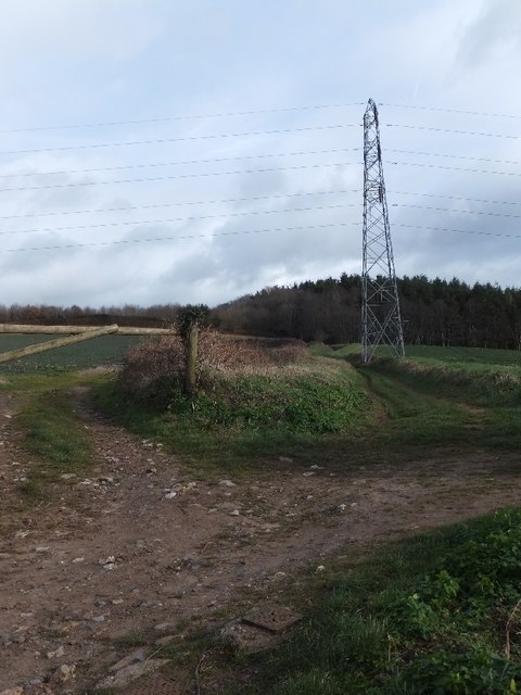
Clumpit Wood
Wood, Forest in Devon Teignbridge
England
Clumpit Wood
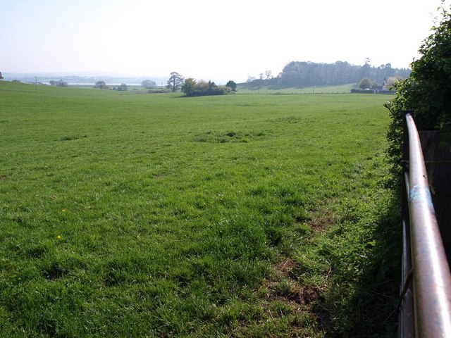
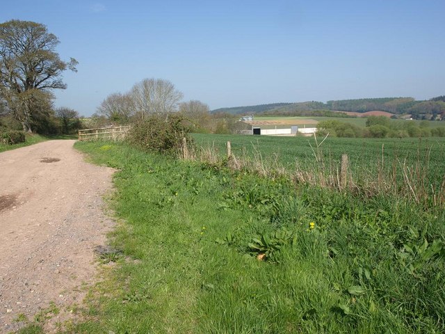
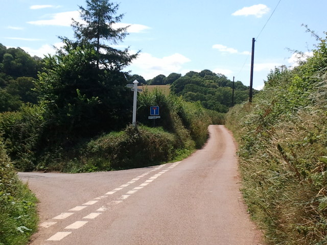
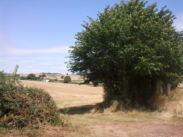
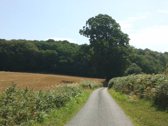
Clumpit Wood is a picturesque forest located in the county of Devon, England. Covering an area of approximately 100 acres, this ancient wood is a haven for nature enthusiasts and offers a tranquil escape from the bustling city life.
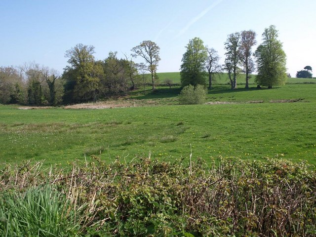
The wood is characterized by its dense vegetation, consisting primarily of oak, beech, and hazel trees. These majestic giants create a thick canopy, allowing only dappled sunlight to filter through, creating an enchanting and peaceful atmosphere. The forest floor is covered in a carpet of wildflowers, ferns, and mosses, adding to the wood's natural beauty.
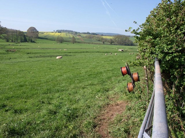
Clumpit Wood is home to a diverse range of wildlife. Visitors may spot a variety of bird species, including woodpeckers, owls, and songbirds. The wood provides a habitat for mammals such as deer, foxes, and badgers, which can often be seen foraging among the undergrowth. Numerous insects and butterflies also thrive in this woodland ecosystem.
The wood is crisscrossed with a network of well-maintained trails, allowing visitors to explore its beauty at their own pace. These trails lead to secluded clearings, where one can enjoy a picnic or simply sit and listen to the soothing sounds of nature.
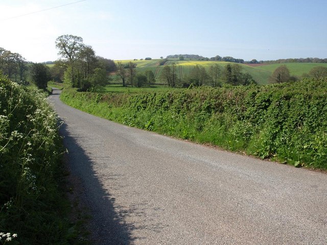
Clumpit Wood is a popular destination for hikers, photographers, and nature lovers alike. Its serene atmosphere and breathtaking scenery make it an ideal location for those seeking a peaceful retreat in the heart of Devon's countryside.
If you have any feedback on the listing, please let us know in the comments section below.
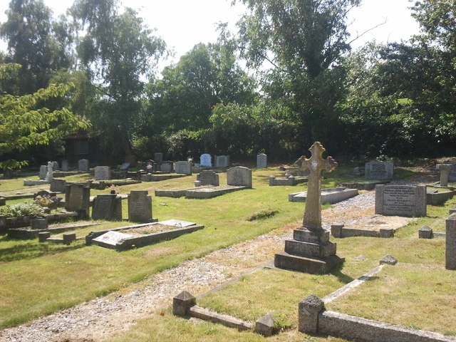
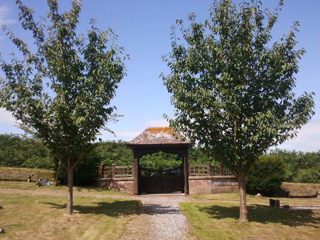
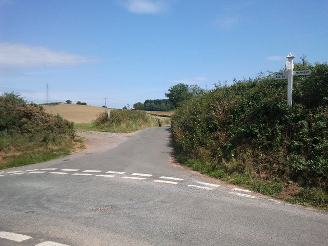
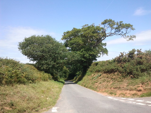
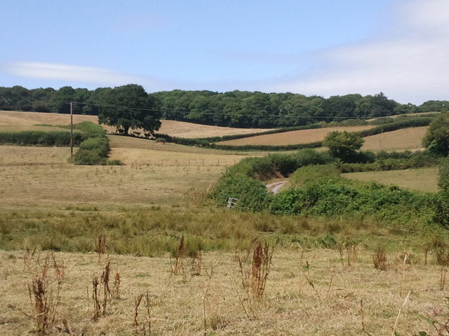
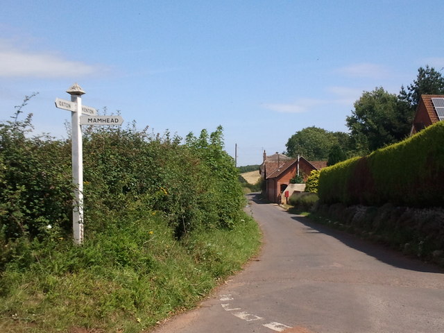
Clumpit Wood Images
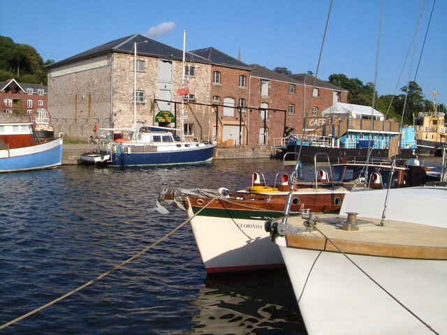
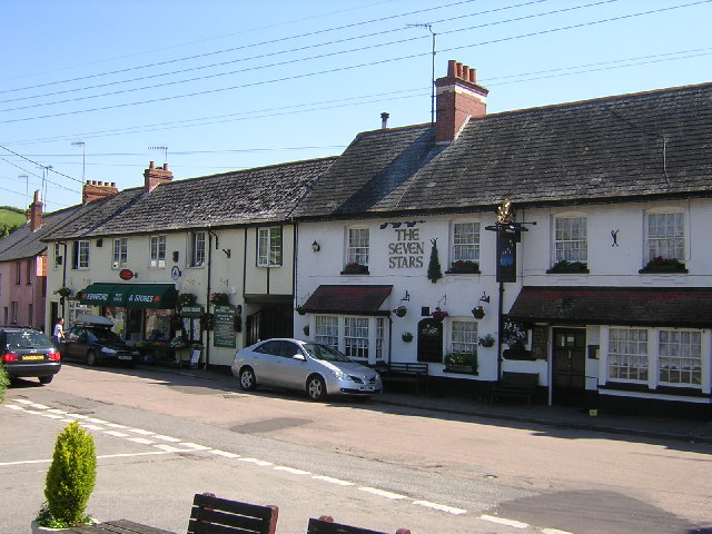
Images are sourced within 2km of 50.645468/-3.4975397 or Grid Reference SX9483. Thanks to Geograph Open Source API. All images are credited.

Clumpit Wood is located at Grid Ref: SX9483 (Lat: 50.645468, Lng: -3.4975397)
Administrative County: Devon
District: Teignbridge
Police Authority: Devon and Cornwall
What 3 Words
///selling.burglars.outbid. Near Kenton, Devon
Nearby Locations
Related Wikis

Kenton, Devon
Kenton is a village and civil parish located near Exeter, the county town of Devon, England. It has one restaurant, a hairdresser, a primary school, a...
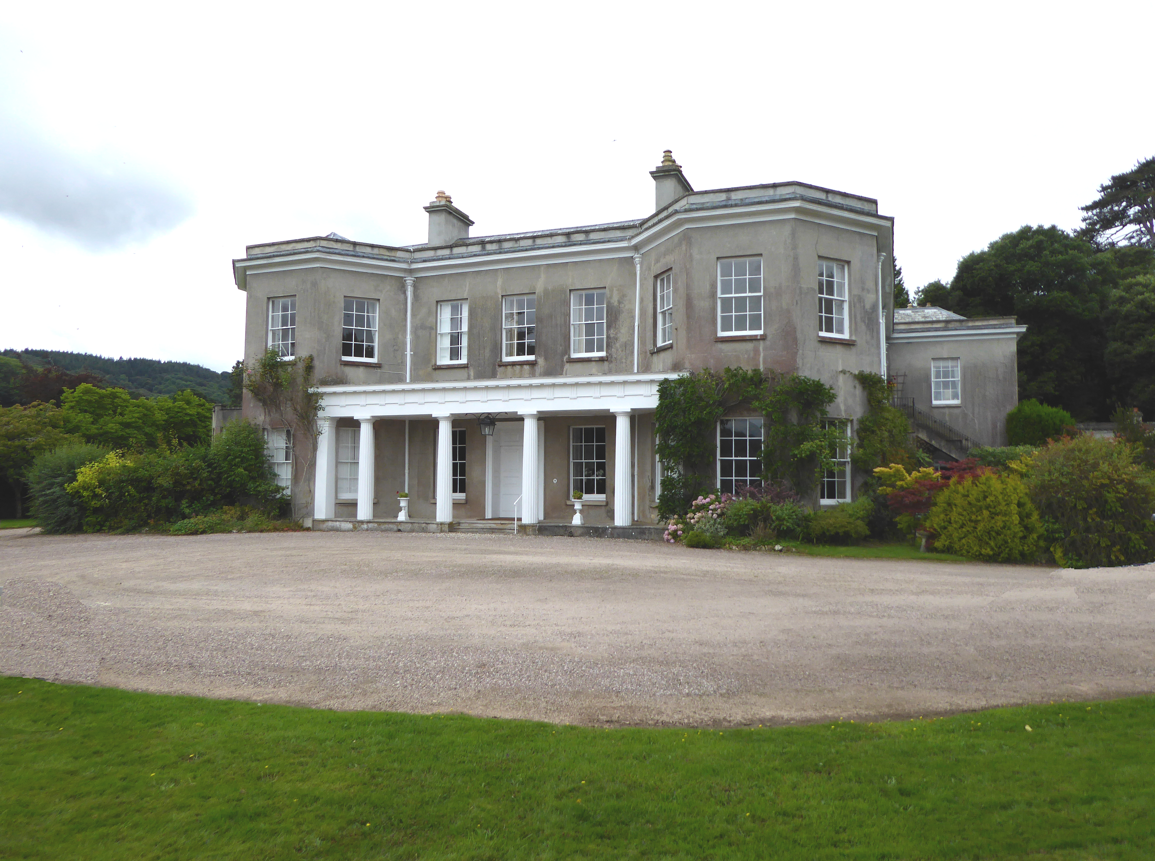
Oxton, Kenton
Oxton in the parish of Kenton in South Devon is a historic estate long held by the Martyn family, a junior branch of the Norman family of FitzMartin, feudal...
Kenn, Devon
Kenn is a village and civil parish situated in Devon, England, approximately 5 miles to the south of Exeter. It lies in the district of Teignbridge, and...
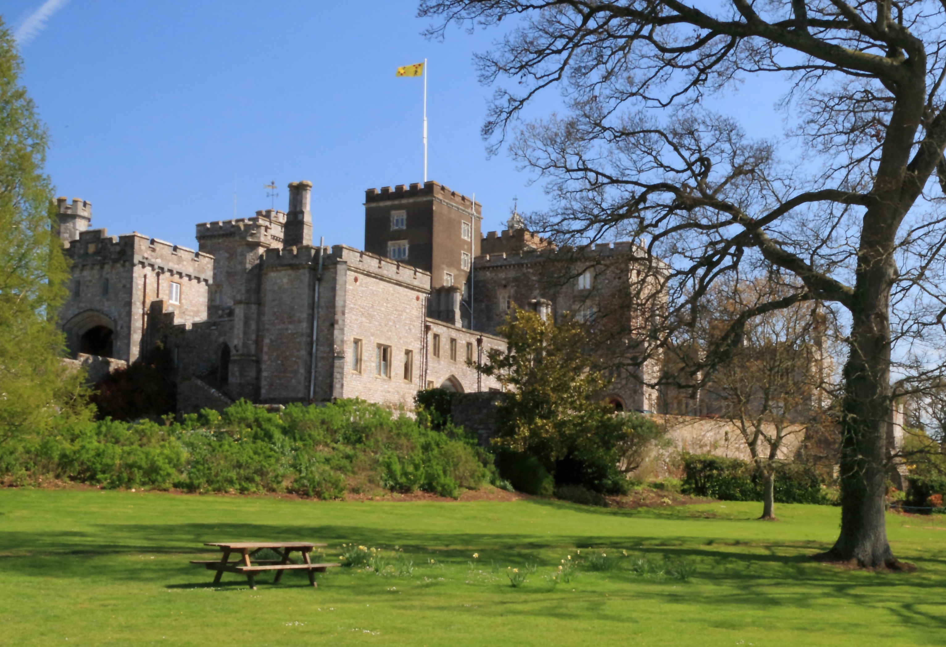
Powderham Castle
Powderham Castle is a fortified manor house situated within the parish and former manor of Powderham, within the former hundred of Exminster, Devon, about...

Mamhead
Mamhead is a rural village and civil parish near Dawlish and Kenton in Devon, South West England, in the Teignbridge local authority area. Current community...
Exeter Ship Canal
The Exeter Ship Canal, also known as the Exeter Canal is a canal leading from (and beside) the River Exe to Exeter Quay in the city of Exeter, Devon, England...

Mamhead House
Mamhead House, Mamhead, Devon, is a country house dating from 1827. Its origins are older but the present building was constructed for Robert William Newman...
Kennford
Kennford is a village situated in the Teignbridge district of Devon, England. Kennford is four miles (6 km) to the south of Exeter in the civil parish...
Nearby Amenities
Located within 500m of 50.645468,-3.4975397Have you been to Clumpit Wood?
Leave your review of Clumpit Wood below (or comments, questions and feedback).