Diamond Wood
Wood, Forest in Devon Mid Devon
England
Diamond Wood

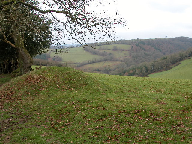
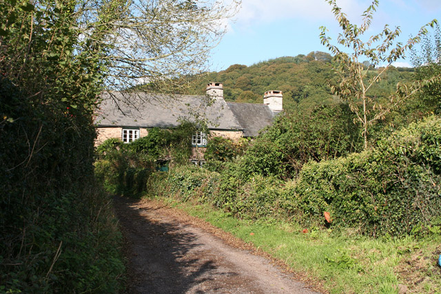
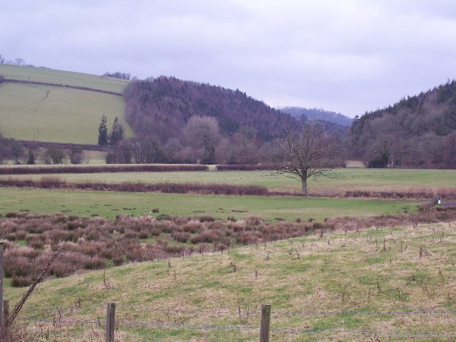
Diamond Wood is a picturesque forest located in the county of Devon, England. Spanning over a vast area, this woodland is known for its stunning natural beauty and diverse range of flora and fauna. The forest is situated in the heart of the countryside, surrounded by rolling hills and meandering rivers, creating a tranquil and peaceful atmosphere.
The name "Diamond Wood" is derived from the presence of a rare species of tree called the Diamond Oak, which can only be found in this particular forest. These majestic trees are renowned for their unique diamond-shaped leaves, which shimmer and glisten when sunlight filters through the canopy. The Diamond Oak is considered a symbol of beauty and grace, making Diamond Wood a truly special place.
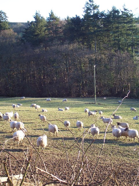
The forest is home to a rich and diverse ecosystem, offering a habitat to a wide variety of wildlife. Visitors may encounter deer, foxes, rabbits, and a myriad of bird species as they explore the walking trails that crisscross the woodland. The forest is also known for its vibrant wildflowers, particularly in the spring and summer months, when the forest floor is carpeted with colorful blooms.
Diamond Wood offers several amenities to visitors, including well-maintained picnic areas, nature trails, and camping spots. The forest is a popular destination for outdoor enthusiasts, providing ample opportunities for hiking, birdwatching, and photography. The peaceful ambiance and stunning natural surroundings make Diamond Wood a perfect escape from the hustle and bustle of everyday life.
If you have any feedback on the listing, please let us know in the comments section below.
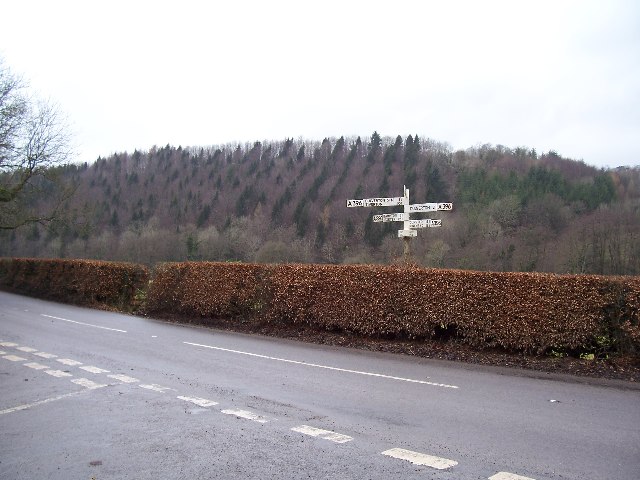
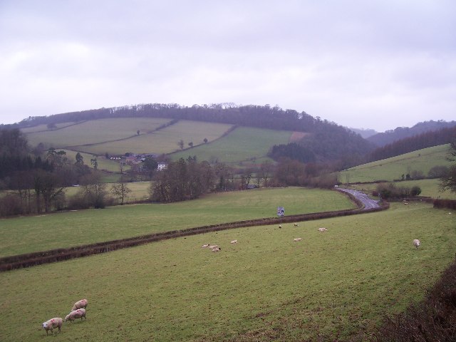
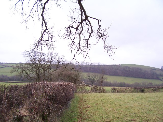
Diamond Wood Images
Images are sourced within 2km of 51.026348/-3.5055911 or Grid Reference SS9426. Thanks to Geograph Open Source API. All images are credited.


Diamond Wood is located at Grid Ref: SS9426 (Lat: 51.026348, Lng: -3.5055911)
Administrative County: Devon
District: Mid Devon
Police Authority: Devon and Cornwall
What 3 Words
///lawyer.tastes.flicked. Near Dulverton, Somerset
Related Wikis

Bury Castle, Brompton Regis
Bury Castle near Brompton Regis in the English county of Somerset was an Iron Age univallate hillfort which was reused with the creation of a motte after...

River Haddeo
The River Haddeo on Exmoor in Somerset, England flows from the Wimbleball Lake to the River Exe. The valley of the river consists of three tributary valleys...

Bury Bridge
Bury Bridge at Bury in the parish of Brompton Regis within the English county of Somerset is a medieval packhorse bridge. It has been scheduled as an ancient...

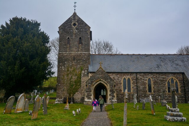
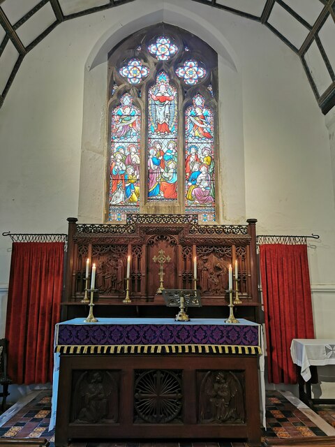
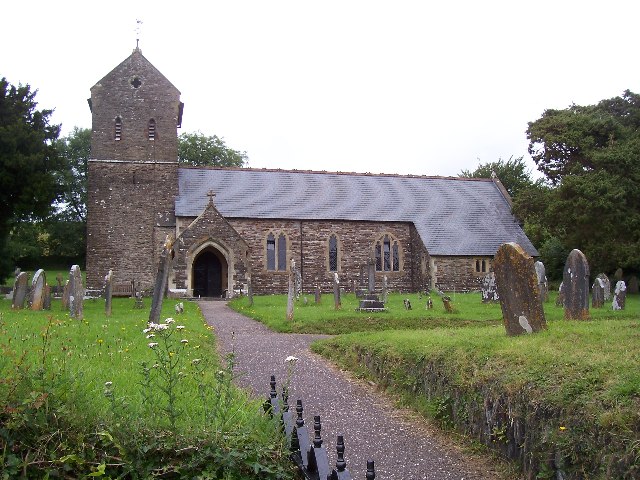
St George's Church, Morebath
St George's Church, Morebath is a Grade II* listed parish church in the Church of England Diocese of Exeter in Morebath, Devon. It is part of the Hukeley...

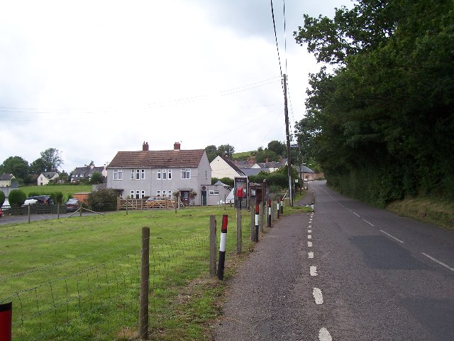
Morebath
Morebath is an upland village in the county of Devon, England. It is mostly given over to sheep-farming, and situated on the southern edge of Exmoor. An...

Morebath Junction railway station
Morebath Junction Halt was a railway halt near the junction of the Devon and Somerset Railway and Exe Valley Railway in Devon, South West England. �...

Exebridge
Exebridge is a village that lies on the border between Devon and Somerset, England. It lies at the confluence of the Barle and Exe rivers. Exebridge is...

Brushford, Somerset
Brushford is a village and civil parish 2 miles (3.2 km) south of Dulverton and 12 miles (19 km) north of Tiverton in Devon, in the Somerset West and Taunton...
Nearby Amenities
Located within 500m of 51.026348,-3.5055911Have you been to Diamond Wood?
Leave your review of Diamond Wood below (or comments, questions and feedback).