Poor Tenement Plantation
Wood, Forest in Somerset Somerset West and Taunton
England
Poor Tenement Plantation

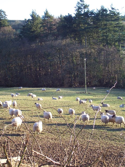
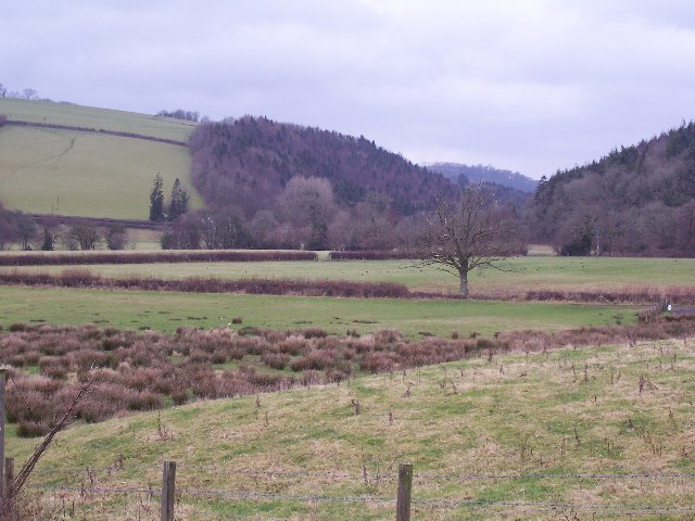
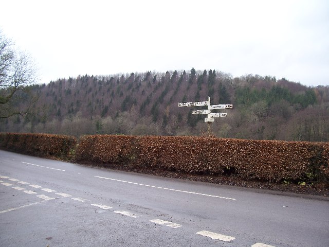
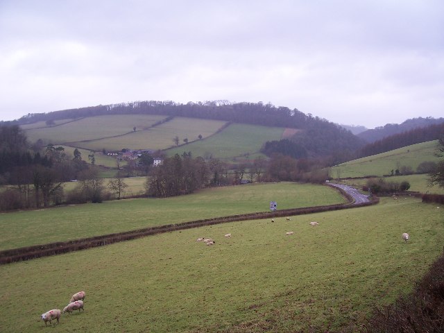
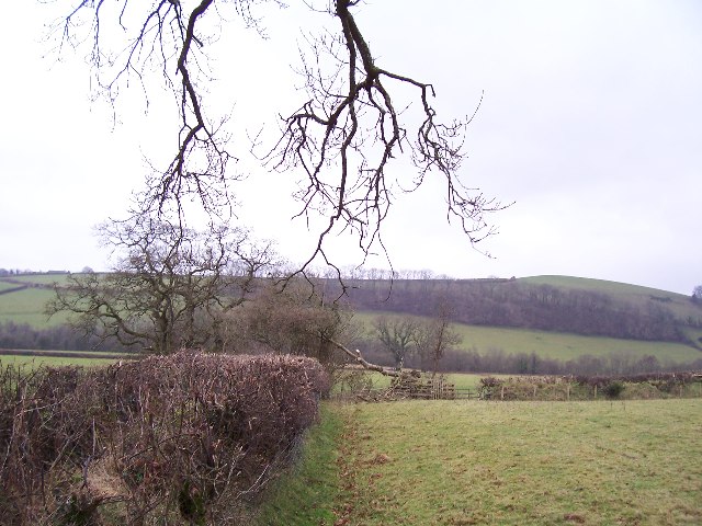
Poor Tenement Plantation, Somerset (Wood, Forest) is a historic estate located in Somerset County, England. Spanning over a vast area of lush greenery and woodland, this plantation holds significant historical and cultural value.
The estate was originally established in the 17th century and has since played a vital role in the local economy and community. The plantation primarily focuses on timber production, with extensive forests of oak, beech, and pine trees covering the land. These trees are carefully managed and harvested, providing a sustainable source of timber for various industries.
Aside from its economic importance, Poor Tenement Plantation is also known for its natural beauty and ecological significance. It serves as a haven for diverse flora and fauna, offering a habitat for numerous species of birds, mammals, and insects. The woodland is meticulously preserved, ensuring the conservation of the local ecosystem.
The plantation is open to the public, allowing visitors to explore its picturesque trails and immerse themselves in the tranquility of nature. It offers guided tours, educational programs, and recreational activities, catering to both locals and tourists. Visitors can indulge in activities like hiking, birdwatching, or simply enjoying a picnic amidst the scenic surroundings.
Moreover, Poor Tenement Plantation has a rich historical past, with several historically significant buildings and landmarks scattered throughout the estate. These include ancient ruins, stone walls, and remnants of old structures, offering a glimpse into the region's past.
Overall, Poor Tenement Plantation, Somerset (Wood, Forest) stands as a testament to the region's natural splendor, ecological importance, and historical significance.
If you have any feedback on the listing, please let us know in the comments section below.
Poor Tenement Plantation Images
Images are sourced within 2km of 51.029753/-3.5079404 or Grid Reference SS9426. Thanks to Geograph Open Source API. All images are credited.


Poor Tenement Plantation is located at Grid Ref: SS9426 (Lat: 51.029753, Lng: -3.5079404)
Administrative County: Somerset
District: Somerset West and Taunton
Police Authority: Avon and Somerset
What 3 Words
///property.snowballs.gravel. Near Dulverton, Somerset
Related Wikis

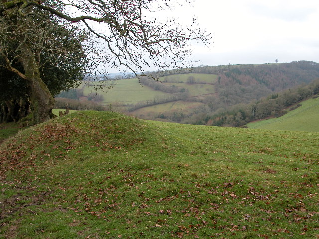
Bury Castle, Brompton Regis
Bury Castle near Brompton Regis in the English county of Somerset was an Iron Age univallate hillfort which was reused with the creation of a motte after...

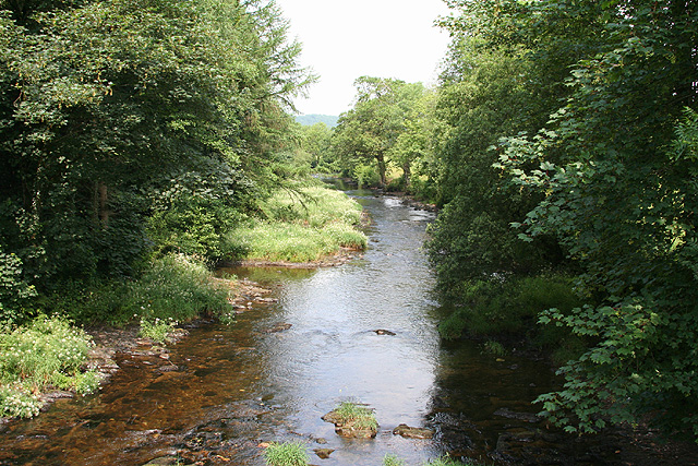
River Haddeo
The River Haddeo on Exmoor in Somerset, England flows from the Wimbleball Lake to the River Exe. The valley of the river consists of three tributary valleys...

Bury Bridge
Bury Bridge at Bury in the parish of Brompton Regis within the English county of Somerset is a medieval packhorse bridge. It has been scheduled as an ancient...

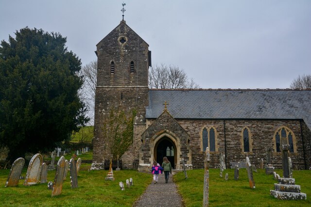
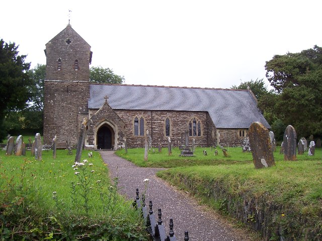
St George's Church, Morebath
St George's Church, Morebath is a Grade II* listed parish church in the Church of England Diocese of Exeter in Morebath, Devon. It is part of the Hukeley...

Morebath
Morebath is an upland village in the county of Devon, England. It is mostly given over to sheep-farming, and situated on the southern edge of Exmoor. An...

Morebath Junction railway station
Morebath Junction Halt was a railway halt near the junction of the Devon and Somerset Railway and Exe Valley Railway in Devon, South West England. �...

Brushford, Somerset
Brushford is a village and civil parish 2 miles (3.2 km) south of Dulverton and 12 miles (19 km) north of Tiverton in Devon, in the Somerset West and Taunton...

Exebridge
Exebridge is a village that lies on the border between Devon and Somerset, England. It lies at the confluence of the Barle and Exe rivers. Exebridge is...
Nearby Amenities
Located within 500m of 51.029753,-3.5079404Have you been to Poor Tenement Plantation?
Leave your review of Poor Tenement Plantation below (or comments, questions and feedback).