Lower Copse

Wood, Forest in Somerset Somerset West and Taunton

England

Lower Copse

Morebath : Timewell Hill, B3190 Looking along the road.
Morebath : Timewell Hill, B3190 Credit: Lewis Clarke

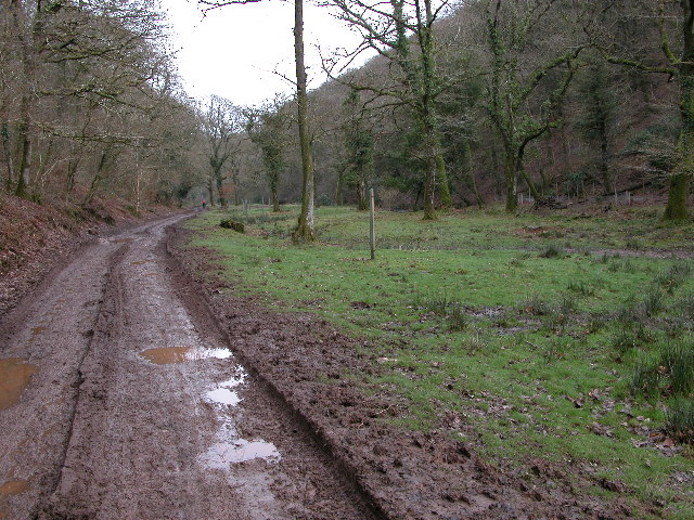
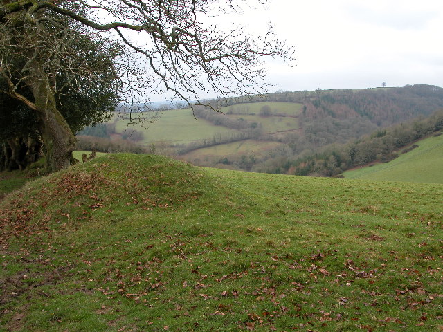
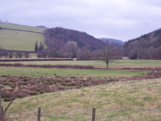
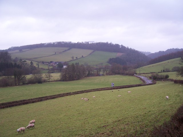
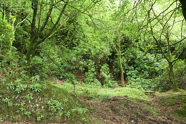
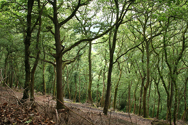
Lower Copse is a picturesque woodland located in the county of Somerset, England. Situated in the southwest of the country, it covers an area of approximately 100 acres and is part of the larger Mendip Hills Area of Outstanding Natural Beauty.

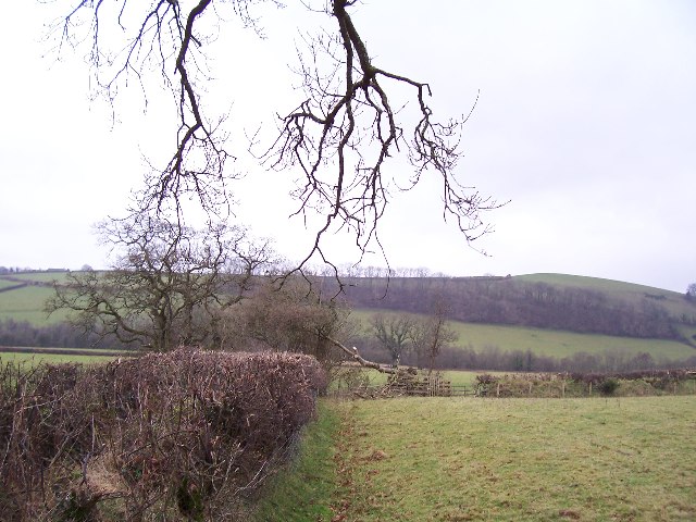
The woodland is primarily composed of deciduous trees, including oak, beech, and ash, which create a vibrant and diverse ecosystem. The forest floor is adorned with a rich carpet of wildflowers and ferns, adding to the enchanting atmosphere of the area.

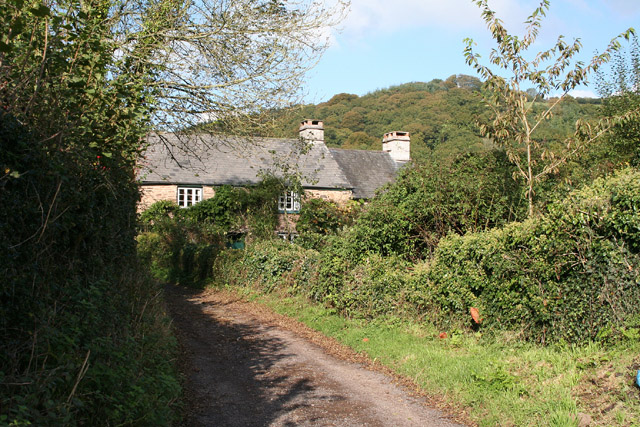
Lower Copse is known for its tranquil ambiance, offering visitors a peaceful retreat from the hustle and bustle of everyday life. The towering trees provide shade and seclusion, making it an ideal destination for nature lovers and outdoor enthusiasts. The woodland is crisscrossed by a network of well-maintained footpaths, allowing visitors to explore and appreciate the natural beauty at their own pace.

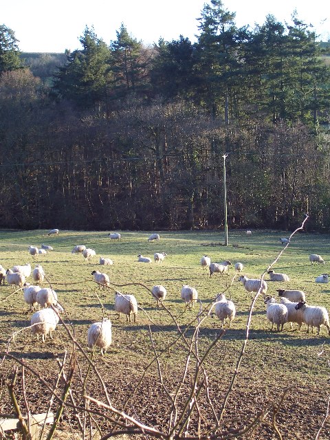
Wildlife thrives in Lower Copse, with a variety of bird species, such as woodpeckers and owls, calling the woodland home. Deer, badgers, and squirrels can also be spotted among the trees, adding to the charm and biodiversity of the area.

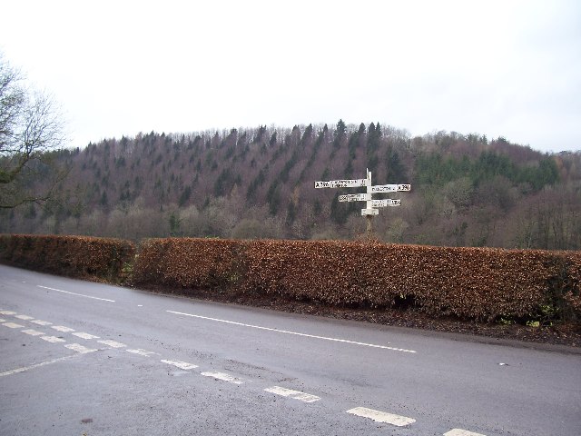
Lower Copse is a popular destination for hiking, birdwatching, and nature photography. Its accessibility and natural beauty make it an attractive option for both locals and tourists alike. Whether seeking solitude or a closer connection with nature, Lower Copse offers a serene and captivating experience for all who visit.

If you have any feedback on the listing, please let us know in the comments section below.

Lower Copse Images

Images are sourced within 2km of 51.031558/-3.5067297 or Grid Reference SS9426. Thanks to Geograph Open Source API. All images are credited.

Morebath : Timewell Hill, B3190 Looking along the road.
Morebath : Timewell Hill, B3190
Looking along the road.
Morebath : Timewell Hill, B3190 A car tries to barge through cattle which have escaped onto the road.
Morebath : Timewell Hill, B3190
A car tries to barge through cattle which have escaped onto the road.
Morebath : Timewell Hill, B3190 Looking along the road where cows have caused some traffic issues.
Morebath : Timewell Hill, B3190
Looking along the road where cows have caused some traffic issues.
Morebath : Timewell Hill, B3190 Looking along a road with cows in it.
Morebath : Timewell Hill, B3190
Looking along a road with cows in it.
Haddeo Valley Lady Harriet Acland's drive in the Haddeo valley near the village of Bury.
Haddeo Valley
Lady Harriet Acland's drive in the Haddeo valley near the village of Bury.
Bridge in village of Bury The bridge and ford crossing the River Haddeo in the village of Bury on Somerset.
Bridge in village of Bury
The bridge and ford crossing the River Haddeo in the village of Bury on Somerset.
Haddeo Valley The Haddeo valley viewed from the Haddon Lane, above the village of Bury.
Haddeo Valley
The Haddeo valley viewed from the Haddon Lane, above the village of Bury.
Brompton Regis: ford and packhorse bridge at Bury Crossing the river Haddeo, a tributary of the Exe
Brompton Regis: ford and packhorse bridge at Bury
Crossing the river Haddeo, a tributary of the Exe
Brompton Regis: Hunt’s Farm The farm offers bed and breakfast and has organic eggs for sale
Brompton Regis: Hunt’s Farm
The farm offers bed and breakfast and has organic eggs for sale
Farmland near Willishayes Farm Farmland just south of Willishayes Farm, looking southwards
Farmland near Willishayes Farm
Farmland just south of Willishayes Farm, looking southwards
River Exe flood plain The river Exe emerges from the steep wooded valley into a flood plain and flows south (right to left) along the row of trees in the middle distance, to meet with the river Barle at the "Meeting of the Waters" towards the southern end of this square.
River Exe flood plain
The river Exe emerges from the steep wooded valley into a flood plain and flows south (right to left) along the row of trees in the middle distance, to meet with the river Barle at the "Meeting of the Waters" towards the southern end of this square.
Bury Cross The junction of 'Bury Cross', looking west towards Pixton Hill.
Bury Cross
The junction of 'Bury Cross', looking west towards Pixton Hill.
Machine Cross The road junction 'Machine Cross', and the Exe valley. The river Exe flows south along the far (western) edge of the valley floor.
Machine Cross
The road junction 'Machine Cross', and the Exe valley. The river Exe flows south along the far (western) edge of the valley floor.
Devon Fields Devon fields and hedges. Looking south towards the centre of the square.
Devon Fields
Devon fields and hedges. Looking south towards the centre of the square.
Morebath: Timewell House Looking north on the Bampton-Watchet road
Morebath: Timewell House
Looking north on the Bampton-Watchet road
Dulverton: entrance to Pixton Park House There are several entrances to the private estate, of which this is one. Some of the others have lodges or gatehouses. Looking west-north-west
Dulverton: entrance to Pixton Park House
There are several entrances to the private estate, of which this is one. Some of the others have lodges or gatehouses. Looking west-north-west
Brompton Regis: old quarry On Bury Hill by the road from Machine Cross, and now populated with rhododendrons. Looking north east
Brompton Regis: old quarry
On Bury Hill by the road from Machine Cross, and now populated with rhododendrons. Looking north east
Brompton Regis: Barlynch Wood A hanging wood in the Exe valley. Looking south-south-west
Brompton Regis: Barlynch Wood
A hanging wood in the Exe valley. Looking south-south-west
Show me another place!

Lower Copse is located at Grid Ref: SS9426 (Lat: 51.031558, Lng: -3.5067297)

Administrative County: Somerset

District: Somerset West and Taunton

Police Authority: Avon and Somerset

What 3 Words

///puts.replayed.shepherdess. Near Dulverton, Somerset

Related Wikis

Bury Castle, Brompton Regis

Bury Castle near Brompton Regis in the English county of Somerset was an Iron Age univallate hillfort which was reused with the creation of a motte after...

Bury Bridge

Bury Bridge at Bury in the parish of Brompton Regis within the English county of Somerset is a medieval packhorse bridge. It has been scheduled as an ancient...

River Haddeo

The River Haddeo on Exmoor in Somerset, England flows from the Wimbleball Lake to the River Exe. The valley of the river consists of three tributary valleys...

St George's Church, Morebath

St George's Church, Morebath is a Grade II* listed parish church in the Church of England Diocese of Exeter in Morebath, Devon. It is part of the Hukeley...

Morebath

Morebath is an upland village in the county of Devon, England. It is mostly given over to sheep-farming, and situated on the southern edge of Exmoor. An...

Morebath Junction railway station

Morebath Junction Halt was a railway halt near the junction of the Devon and Somerset Railway and Exe Valley Railway in Devon, South West England. �...

Brushford, Somerset

Brushford is a village and civil parish 2 miles (3.2 km) south of Dulverton and 12 miles (19 km) north of Tiverton in Devon, in the Somerset West and Taunton...

Barlynch Priory

Barlynch Priory (also known as St Nicholas's Priory and sometimes spelled Barlich Priory) in Brompton Regis, Somerset, England was an Augustinian priory...

Nearby Amenities

Located within 500m of 51.031558,-3.5067297
Bury
Is In: Somerset, England, UK
Name Lt: Beris
Place: hamlet
Lat/Long: 51.0359187/-3.5065337
Dyehouse Wood
Place: locality
Lat/Long: 51.0307363/-3.5100819
Lower Copse
Place: locality
Lat/Long: 51.0310944/-3.5077758
Poor Tenement Plantation
Place: locality
Lat/Long: 51.030192/-3.5069493
Fifth Fusiliers Plantation
Place: locality
Lat/Long: 51.0284117/-3.5033548
Dyehouse Corner
Place: locality
Lat/Long: 51.0342808/-3.5042119
Telephone
Booth: K6
Covered: booth
Listed Status: Grade II
Lat/Long: 51.0351453/-3.505907
The data included in this document is from www.openstreetmap.org. The data is made available under ODbL.

Have you been to Lower Copse?

Leave your review of Lower Copse below (or comments, questions and feedback).