Cleave Copse

Wood, Forest in Devon Mid Devon

England

Cleave Copse

Bickleigh : The River Exe A heron at the weir.
Bickleigh : The River Exe Credit: Lewis Clarke

Cleave Copse is a serene woodland located in Devon, England. Nestled within the picturesque countryside, it is renowned for its natural beauty and tranquil atmosphere. Spanning over a vast area, the copse is a haven for nature enthusiasts and outdoor adventurers alike.

The copse primarily consists of a dense cover of trees, predominantly oak and beech, creating a majestic canopy that provides shade and shelter for a diverse range of flora and fauna. The woodland floor is adorned with an array of wildflowers, including bluebells, primroses, and violets, which bloom in vibrant colors during the spring months.

Walking trails wind their way through Cleave Copse, offering visitors the opportunity to explore this enchanting woodland. The paths lead to hidden clearings, babbling brooks, and small ponds, adding to the charm and allure of the copse. The peaceful ambiance, interrupted only by the sounds of chirping birds and rustling leaves, makes it a perfect retreat for those seeking solace in nature.

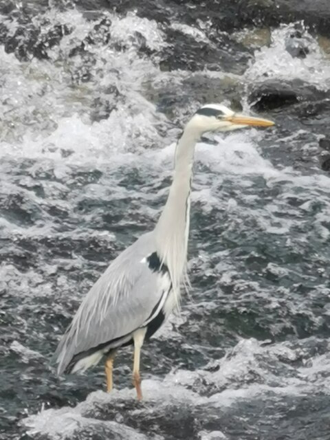
Cleave Copse is also home to a diverse range of wildlife. Deer, squirrels, and various bird species can often be spotted among the trees, adding an element of excitement and natural beauty to every visit. The copse is an ideal location for birdwatching enthusiasts, with species such as woodpeckers, thrushes, and owls making their homes within its boundaries.

Overall, Cleave Copse is a captivating woodland that showcases the stunning natural landscapes of Devon. Its abundant flora and fauna, coupled with its peaceful ambiance, make it a must-visit destination for anyone seeking solace in the beauty of nature.

If you have any feedback on the listing, please let us know in the comments section below.

Cleave Copse Images

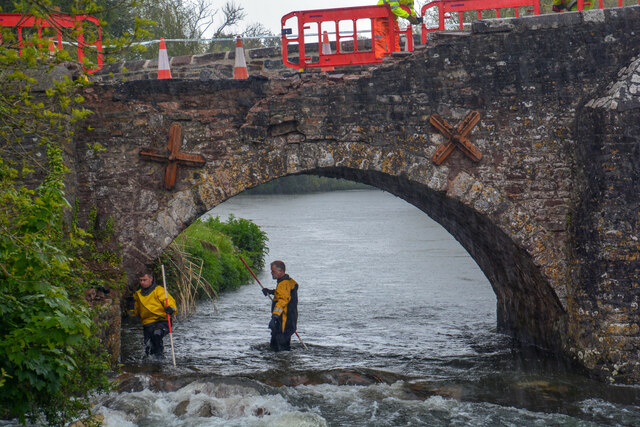
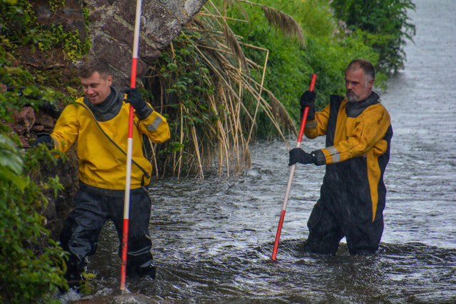
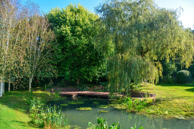
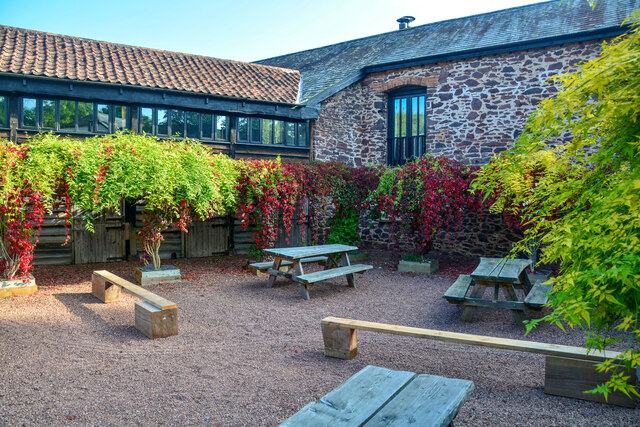
Images are sourced within 2km of 50.860493/-3.5012789 or Grid Reference SS9407. Thanks to Geograph Open Source API. All images are credited.

Bickleigh : The River Exe A heron at the weir.
Bickleigh : The River Exe
A heron at the weir.
Bickleigh : Bickleigh Bridge The Bickleigh Bridge over the River Exe. Somehow a lorry driver has managed to bash a part of the structure.
Bickleigh : Bickleigh Bridge
The Bickleigh Bridge over the River Exe. Somehow a lorry driver has managed to bash a part of the structure.
Bickleigh : A396 A lorry has become wedged while trying to cross the Bickleigh Bridge.
Bickleigh : A396
A lorry has become wedged while trying to cross the Bickleigh Bridge.
Bickleigh : A396 On the Bickleigh Bridge where an HGV has got into some difficulty. He attempted to cross the bridge, but then reversed back into the wall.
Bickleigh : A396
On the Bickleigh Bridge where an HGV has got into some difficulty. He attempted to cross the bridge, but then reversed back into the wall.
Bickleigh : A396 A lorry stuck in a precarious position on the Bickleigh Bridge.
Bickleigh : A396
A lorry stuck in a precarious position on the Bickleigh Bridge.
Bickleigh : Bickleigh Bridge Looking towards the Bickleigh Bridge and the River Exe. The lorry is stuck after taking out some of the wall.
Bickleigh : Bickleigh Bridge
Looking towards the Bickleigh Bridge and the River Exe. The lorry is stuck after taking out some of the wall.
Bickleigh : Bickleigh Bridge A recovery team lift the HGV from its spot where it has become stuck on the bridge.
Bickleigh : Bickleigh Bridge
A recovery team lift the HGV from its spot where it has become stuck on the bridge.
Bickleigh : Bickleigh Bridge Looking towards Bickleigh Bridge and the damage done by a passing HGV.
Bickleigh : Bickleigh Bridge
Looking towards Bickleigh Bridge and the damage done by a passing HGV.
Bickleigh : Bickleigh Bridge Looking towards Bickleigh Bridge and the damage done by a passing HGV.
Bickleigh : Bickleigh Bridge
Looking towards Bickleigh Bridge and the damage done by a passing HGV.
Bickleigh : Bickleigh Bridge People from the highways agency look to potential damage underneath the bridge.
Bickleigh : Bickleigh Bridge
People from the highways agency look to potential damage underneath the bridge.
Bickleigh : River Exe Looking towards people inspecting the Bickleigh Bridge.
Bickleigh : River Exe
Looking towards people inspecting the Bickleigh Bridge.
Bickleigh : Valleyside Escapes A pond at Valleyside Escapes.
Bickleigh : Valleyside Escapes
A pond at Valleyside Escapes.
Bickleigh : Valleyside Escapes The courtyard of Valleyside Escapes.
Bickleigh : Valleyside Escapes
The courtyard of Valleyside Escapes.
Bickleigh : Stone Lane Stone Lane heads through the countryside.
Bickleigh : Stone Lane
Stone Lane heads through the countryside.
Bickleigh : Bickleigh Castle Once considerably larger, Bickleigh now comprises a group of buildings from various periods which together formed a water castle.
Bickleigh : Bickleigh Castle
Once considerably larger, Bickleigh now comprises a group of buildings from various periods which together formed a water castle.
Bickleigh : Bickleigh Castle The castle and surrounding buildings are now used principally to host weddings, and also house parties, events and a bed & breakfast.
Bickleigh : Bickleigh Castle
The castle and surrounding buildings are now used principally to host weddings, and also house parties, events and a bed & breakfast.
Bickleigh : Bickleigh Castle A night scene from Bickleigh Castle.
Bickleigh : Bickleigh Castle
A night scene from Bickleigh Castle.
Bickleigh : Castle Grounds In the grounds of Bickleigh Castle.
Bickleigh : Castle Grounds
In the grounds of Bickleigh Castle.
Show me another place!

Cleave Copse is located at Grid Ref: SS9407 (Lat: 50.860493, Lng: -3.5012789)

Administrative County: Devon

District: Mid Devon

Police Authority: Devon and Cornwall

What 3 Words

///pounds.distorts.solution. Near Tiverton, Devon

Related Wikis

Devon Railway Centre

The Devon Railway Centre is in the village of Bickleigh in Mid Devon, England, at the former Cadeleigh railway station on the closed Great Western Railway...

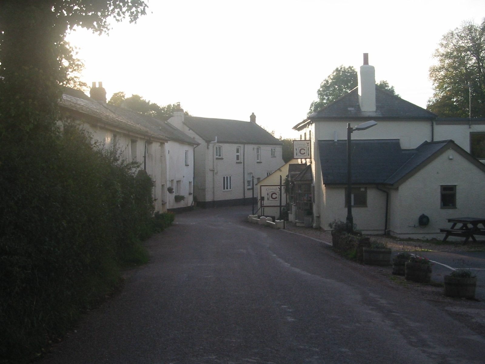
Bickleigh, Mid Devon

Bickleigh is a village and civil parish in the Mid Devon district of Devon, England, about four miles south of Tiverton. It is in the former hundred of...

The Fisherman's Cot

The Fisherman's Cot is an inn on the A3072 road to the northwest of Bickleigh near Tiverton, in northeastern Devon. It is operated by Marston's Inns and...
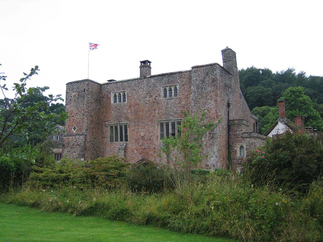
Bickleigh Castle

Bickleigh Castle is a fortified manor house that stands on the banks of the River Exe at Bickleigh in Devon, England. Once considerably larger, Bickleigh...

Butterleigh

Butterleigh is a village and civil parish in Mid Devon, England situated about three miles south east of Tiverton. The village includes a public house...

Cadeleigh

Cadeleigh is a small village in the county of Devon in England. It sits in the hills above the valley of the River Exe and is about 15 km (9 miles) north...

Cadbury Castle, Devon

Cadbury Castle is an Iron Age Hillfort close to Bickleigh, Devon, England. It was later encamped by the Parliamentarian forces during the English Civil...

Cranmore Castle

Cranmore Castle is an Iron Age earthwork situated on a hillside above the Devon town of Tiverton in south-west England. Its National Grid reference is...

Nearby Amenities

Located within 500m of 50.860493,-3.5012789
Waterway: weir
Lat/Long: 50.8601937/-3.5057801
Bus Stop
East Barton
Bench: no
Bin: no
Bus: yes
Lit: no
Naptan AtcoCode: 1100DEA57212
Naptan Bearing: NE
Naptan BusStopType: CUS
Naptan Indicator: NE-bound
Naptan LocalityName: Bickleigh
Naptan NaptanCode: dvngptdt
Naptan NptgLocality: E0045285
Naptan Status: act
Naptan StopType: BCT
Naptan Street: A396
Naptan TimingStatus: OTH
Public Transport: platform
Shelter: no
Source: naptan
Tactile Paving: no
Lat/Long: 50.8635167/-3.5054117
Bus Stop
East Barton
Bench: no
Bin: no
Bus: yes
Lit: no
Naptan AtcoCode: 1100DEA57213
Naptan Bearing: SW
Naptan BusStopType: CUS
Naptan Indicator: SW-bound
Naptan LocalityName: Bickleigh
Naptan NaptanCode: dvngptdw
Naptan NptgLocality: E0045285
Naptan Status: act
Naptan StopType: BCT
Naptan Street: A396
Naptan TimingStatus: OTH
Public Transport: platform
Shelter: no
Source: naptan
Tactile Paving: no
Lat/Long: 50.8633466/-3.5053351
Barrier: cattle_grid
Lat/Long: 50.8578603/-3.4979553
Give Way
Direction: backward
Lat/Long: 50.8634333/-3.5054152
The data included in this document is from www.openstreetmap.org. The data is made available under ODbL.

Have you been to Cleave Copse?

Leave your review of Cleave Copse below (or comments, questions and feedback).