Midlands Copse
Wood, Forest in Devon Mid Devon
England
Midlands Copse
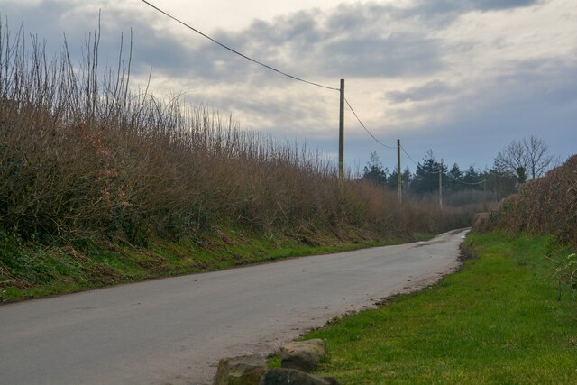
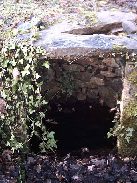
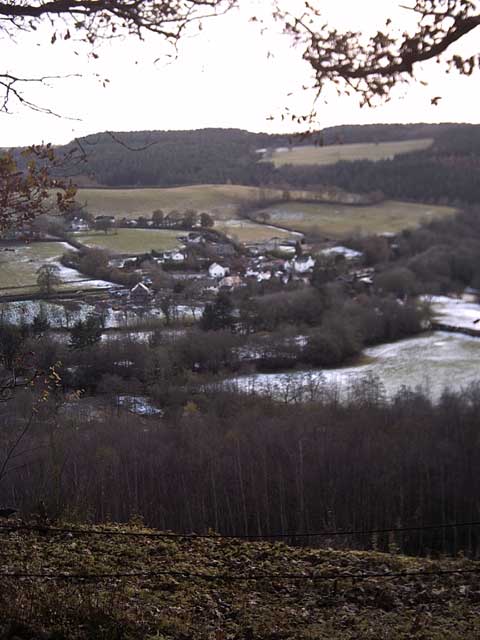
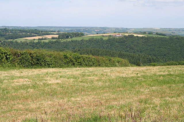
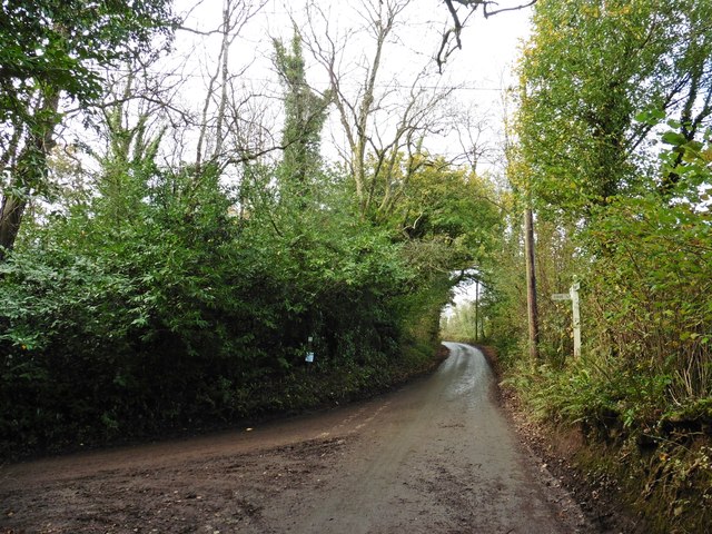
Midlands Copse is a charming woodland located in the county of Devon, England. Situated in the heart of the picturesque Midland Valley, this copse covers an area of approximately 50 acres and is a haven for nature enthusiasts and outdoor lovers alike.
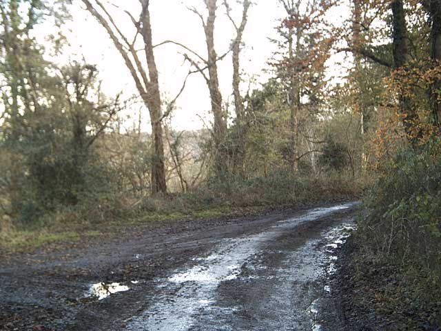
The copse is primarily composed of native deciduous trees such as oak, beech, and ash, which create a dense canopy providing shade and shelter to a variety of wildlife. The forest floor is adorned with a vibrant carpet of bluebells during the springtime, creating a visually stunning landscape.
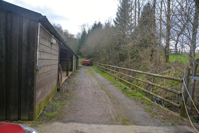
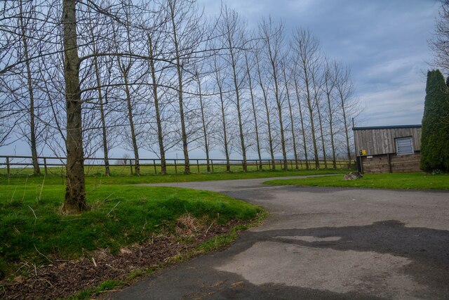
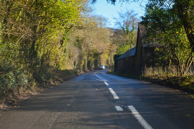
Traversing through the copse, visitors will find a network of well-maintained walking trails that meander through the trees, offering an opportunity to explore and immerse oneself in the natural beauty of the woodland. These trails range in difficulty, catering to both casual strollers and avid hikers.
The copse is home to a diverse range of flora and fauna, with sightings of deer, foxes, badgers, and a plethora of bird species being common. Birdwatchers will be delighted by the chance to spot species such as woodpeckers, nightingales, and owls, among others.
Midlands Copse is a popular destination for outdoor activities such as picnicking, wildlife photography, and nature walks. It is also a designated nature reserve, ensuring the preservation and protection of its unique ecosystem.
With its tranquil ambiance, abundant wildlife, and picturesque trails, Midlands Copse offers a serene escape from the hustle and bustle of everyday life, making it a must-visit destination for nature enthusiasts and those seeking a peaceful retreat in the heart of Devon.
If you have any feedback on the listing, please let us know in the comments section below.
Midlands Copse Images
Images are sourced within 2km of 50.958189/-3.5078149 or Grid Reference SS9418. Thanks to Geograph Open Source API. All images are credited.


Midlands Copse is located at Grid Ref: SS9418 (Lat: 50.958189, Lng: -3.5078149)
Administrative County: Devon
District: Mid Devon
Police Authority: Devon and Cornwall
What 3 Words
///subplot.report.harmony. Near Tiverton, Devon
Nearby Locations
Related Wikis

Castle Close
Castle Close is a circular earthwork located near Stoodleigh in Mid Devon, England at OS grid reference SS937181. It is described on maps as a settlement...

Cove, Devon
Cove is a small village in the county of Devon, England. It is 4 miles north of Tiverton and 2 miles from Bampton in the Exe Valley some 450 feet above...

Stoodleigh
Stoodleigh is a village and civil parish in the Mid Devon district of Devon, England, located 6 miles (10 km) north of Tiverton and 5 miles (8 km) south...

River Batherm
The River Batherm is a river which flows through Somerset and Devon in England. The river rises on high ground near the village of Sperry Barton, between...

Washfield
Washfield is a village, parish and former manor in Devon, England, situated about 2 miles north-west of Tiverton. The parish church is dedicated to St...

Knightshayes Court
Knightshayes Court is a Victorian country house near Tiverton, Devon, England, designed by William Burges for the Heathcoat-Amory family. Nikolaus Pevsner...

Bampton, Devon
Bampton is a small town and parish in northeast Devon, England, on the River Batherm, a tributary of the River Exe. It is about 6 miles (9.7 km) north...

Oakfordbridge
Oakfordbridge is a village in Devon, England. == References == The geographic coordinates are from the Ordnance Survey. == External links == Media related...
Nearby Amenities
Located within 500m of 50.958189,-3.5078149Have you been to Midlands Copse?
Leave your review of Midlands Copse below (or comments, questions and feedback).