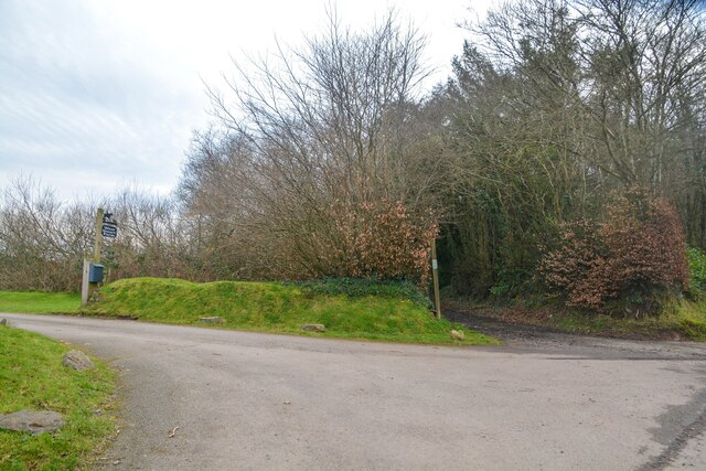
Parkwood Plantation

Wood, Forest in Devon Mid Devon

England

Parkwood Plantation

Stoodleigh : Country Lane A small lane heading through the countryside.
Stoodleigh : Country Lane Credit: Lewis Clarke

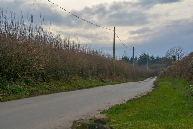
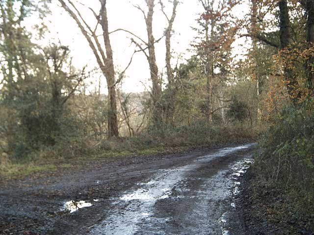
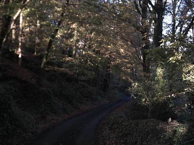
Parkwood Plantation is a sprawling forest located in Devon, England. Known for its lush greenery and diverse wildlife, this woodland paradise is a popular destination for nature enthusiasts and outdoor adventurers alike.

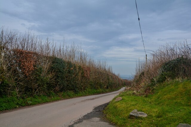
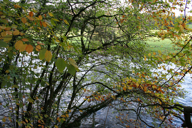
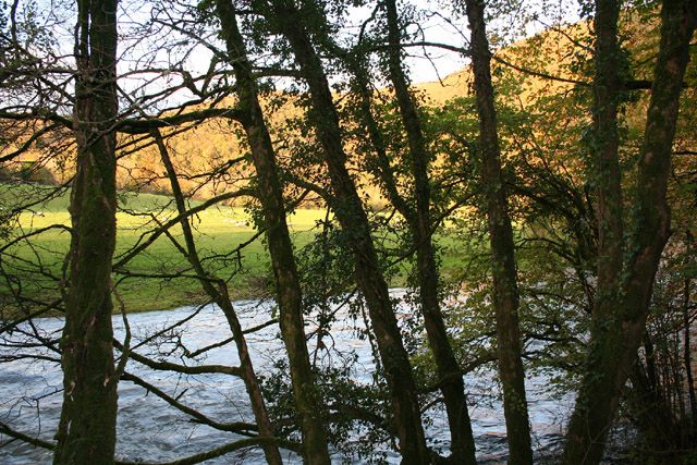
Covering an area of approximately 500 acres, Parkwood Plantation is characterized by its dense canopy of ancient trees, including oak, beech, and birch. These towering giants provide a haven for a wide variety of birds, such as woodpeckers, owls, and songbirds, making it a paradise for birdwatchers. The forest floor is blanketed with a rich carpet of ferns, wildflowers, and mosses, creating a picturesque setting for hikers and photographers.

The plantation is crisscrossed by a network of well-maintained walking trails, offering visitors the opportunity to explore its beauty at their own pace. These trails range from easy strolls to more challenging hikes, providing something for every level of fitness. Along the way, there are numerous benches and picnic spots, allowing visitors to take a break and admire the tranquil surroundings.

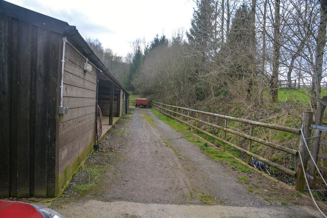
For those seeking a more immersive experience, Parkwood Plantation also offers camping facilities. The designated camping area provides a rustic and peaceful setting, allowing visitors to spend the night under the stars and wake up to the soothing sounds of nature.

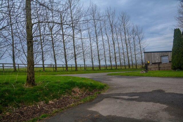
In addition to its natural beauty, Parkwood Plantation also plays a crucial role in conservation efforts. The forest is carefully managed to maintain its ecological balance and preserve its biodiversity. Regular monitoring and conservation activities ensure that the woodland remains a thriving habitat for a wide range of plant and animal species.

Visiting Parkwood Plantation is not only an opportunity to reconnect with nature but also a chance to contribute to the preservation of this precious ecosystem.

If you have any feedback on the listing, please let us know in the comments section below.

Parkwood Plantation Images

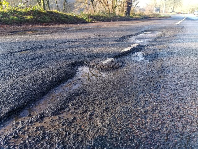
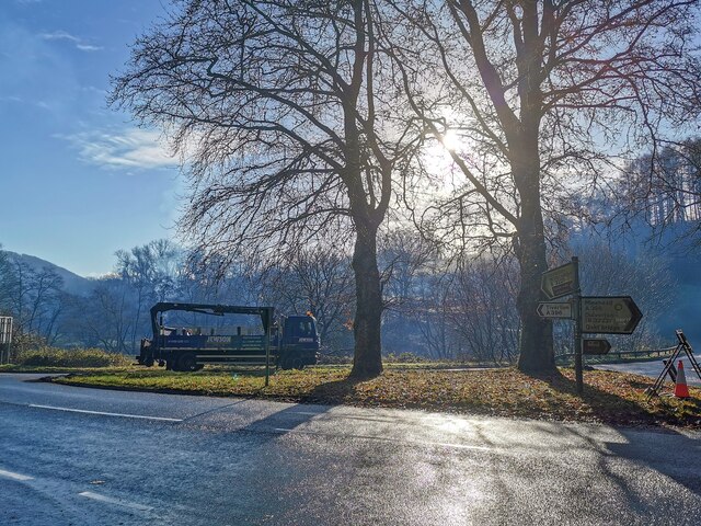
Images are sourced within 2km of 50.969828/-3.508377 or Grid Reference SS9420. Thanks to Geograph Open Source API. All images are credited.

Stoodleigh : Country Lane A small lane heading through the countryside.
Stoodleigh : Country Lane
A small lane heading through the countryside.
Stoodleigh : West Steart Farm Looking along a track by a barn.
Stoodleigh : West Steart Farm
Looking along a track by a barn.
Stoodleigh : West Steart Farm A road heads to the farm.
Stoodleigh : West Steart Farm
A road heads to the farm.
Stoodleigh : Country Lane A small lane.
Stoodleigh : Country Lane
A small lane.
Stoodleigh : Country Lane A small lane heads off to West Steart Farm.
Stoodleigh : Country Lane
A small lane heads off to West Steart Farm.
Bampton : The A396 The A396 at Black Cat Junction.
Bampton : The A396
The A396 at Black Cat Junction.
Oakford : Stuckeridge Bridge Road bridge over the River Exe. Probably early C19, C20 parapets. Dressed stone brought to course, steel parapet balustrades. 3-span bridge with segmental arches and cutwaters. Road and bridge not shown on 1809 OS map, probably a turnpike road and bridge.
Oakford : Stuckeridge Bridge
Road bridge over the River Exe. Probably early C19, C20 parapets. Dressed stone brought to course, steel parapet balustrades. 3-span bridge with segmental arches and cutwaters. Road and bridge not shown on 1809 OS map, probably a turnpike road and bridge.
Bampton : River Exe Looking across the flooded River Exe.
Bampton : River Exe
Looking across the flooded River Exe.
Bampton : River Exe The River Exe has burst its banks.
Bampton : River Exe
The River Exe has burst its banks.
Bampton : Gate A gate which has been flooded by the River Exe.
Bampton : Gate
A gate which has been flooded by the River Exe.
Bampton : A396 A pothole which had just torn my tyre to shreds.
Bampton : A396
A pothole which had just torn my tyre to shreds.
Bampton : The Black Cat A window of a garage with many old stickers, particularly for the former south west television franchises on ITV, Westcountry and TSW.
Bampton : The Black Cat
A window of a garage with many old stickers, particularly for the former south west television franchises on ITV, Westcountry and TSW.
Bampton : A396 Looking across the A396 at Black Cat junction.
Bampton : A396
Looking across the A396 at Black Cat junction.
Bampton : A396 The road is closed due to a fatal fire.
Bampton : A396
The road is closed due to a fatal fire.
Tiverton: the Exe at Cove Cleave The river flows strongly after the early November rains
Tiverton: the Exe at Cove Cleave
The river flows strongly after the early November rains
Tiverton: the Exe at Cove Cleave The river flows strongly after the early November rains
Tiverton: the Exe at Cove Cleave
The river flows strongly after the early November rains
Exe Valley Way near Holmingham Wood The Way leaves the valley and climbs up to the ridge above Holmingham Quarry.
Exe Valley Way near Holmingham Wood
The Way leaves the valley and climbs up to the ridge above Holmingham Quarry.
Exe Valley Way near Bampton So this isn't the Exe Valley, this is the Batherm Valley. But Bampton a nice place to visit so the way goes this way.
Exe Valley Way near Bampton
So this isn't the Exe Valley, this is the Batherm Valley. But Bampton a nice place to visit so the way goes this way.
Show me another place!

Parkwood Plantation is located at Grid Ref: SS9420 (Lat: 50.969828, Lng: -3.508377)

Administrative County: Devon

District: Mid Devon

Police Authority: Devon and Cornwall

What 3 Words

///leads.suitcase.reflected. Near Tiverton, Devon

Related Wikis

Cove, Devon

Cove is a small village in the county of Devon, England. It is 4 miles north of Tiverton and 2 miles from Bampton in the Exe Valley some 450 feet above...
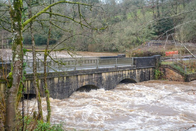
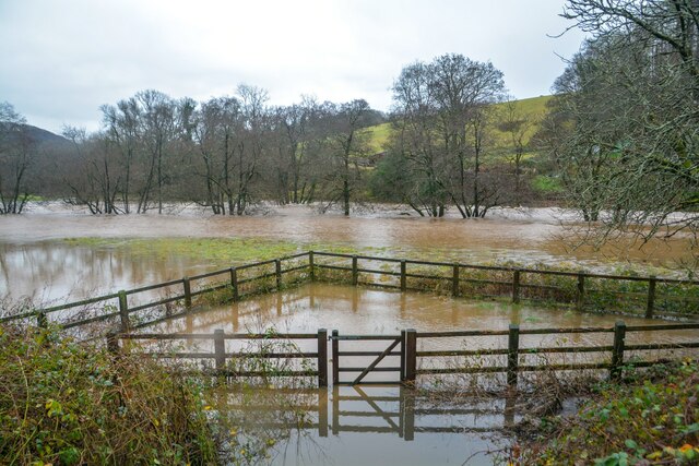
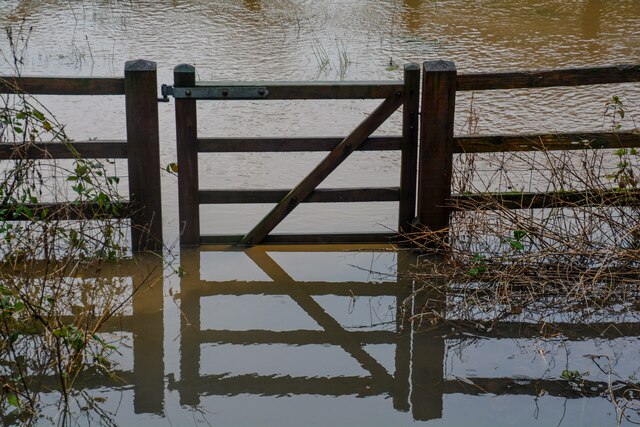
River Batherm

The River Batherm is a river which flows through Somerset and Devon in England. The river rises on high ground near the village of Sperry Barton, between...

Castle Close

Castle Close is a circular earthwork located near Stoodleigh in Mid Devon, England at OS grid reference SS937181. It is described on maps as a settlement...

Stoodleigh

Stoodleigh is a village and civil parish in the Mid Devon district of Devon, England, located 6 miles (10 km) north of Tiverton and 5 miles (8 km) south...

Nearby Amenities

Located within 500m of 50.969828,-3.508377
Power: pole
Source: bing
Lat/Long: 50.9669874/-3.5134752
Power: pole
Source: bing
Lat/Long: 50.9669958/-3.5120939
Power: pole
Source: bing
Lat/Long: 50.9669984/-3.5110384
Power: pole
Source: bing
Lat/Long: 50.9670051/-3.5099736
Power: pole
Source: bing
Lat/Long: 50.9670127/-3.5088699
Power: pole
Source: bing
Lat/Long: 50.9669418/-3.507911
Power: pole
Source: bing
Lat/Long: 50.9668691/-3.5070674
Power: pole
Source: bing
Lat/Long: 50.9667695/-3.5057746
Power: pole
Source: bing
Lat/Long: 50.9666757/-3.5044979
Power: pole
Source: bing
Lat/Long: 50.9665034/-3.5037683
Power: pole
Source: bing
Lat/Long: 50.9713022/-3.5119531
Power: pole
Source: bing
Lat/Long: 50.9715648/-3.5106535
Power: pole
Source: bing
Lat/Long: 50.9711003/-3.5129763
Power: pole
Source: bing
Lat/Long: 50.9703377/-3.5146688
Power: pole
Source: bing
Lat/Long: 50.9707684/-3.514587
Power: pole
Source: bing
Lat/Long: 50.9698682/-3.5147479
Power: pole
Source: bing
Lat/Long: 50.9691132/-3.5148767
The data included in this document is from www.openstreetmap.org. The data is made available under ODbL.

Have you been to Parkwood Plantation?

Leave your review of Parkwood Plantation below (or comments, questions and feedback).