East Wood

Wood, Forest in Somerset Somerset West and Taunton

England

East Wood

The old Methodist Chapel, Wheddon Cross Built in 1893 to replace an earlier chapel, it is now a private residence. In the foreground is the A396 Tiverton to Minehead road.
The old Methodist Chapel, Wheddon Cross Credit: Martin Tester

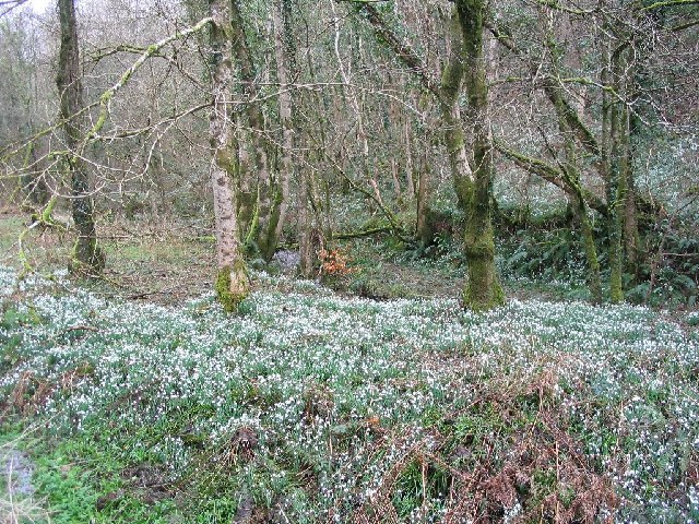
East Wood is a picturesque village located in Somerset, England. Situated in the heart of the Somerset Levels, it is surrounded by stunning natural landscapes, including lush woodlands and enchanting forests. The village is known for its abundant wildlife and tranquil atmosphere, making it an ideal destination for nature enthusiasts and those seeking a peaceful retreat.

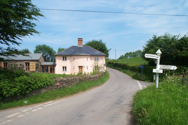
The village of East Wood is characterized by its charming thatched-roof cottages, which add to its traditional and rustic appeal. The local community is close-knit and welcoming, creating a warm and friendly atmosphere for both residents and visitors alike.

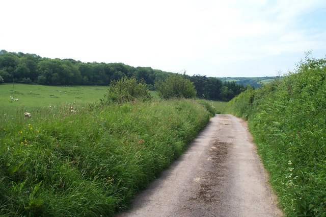
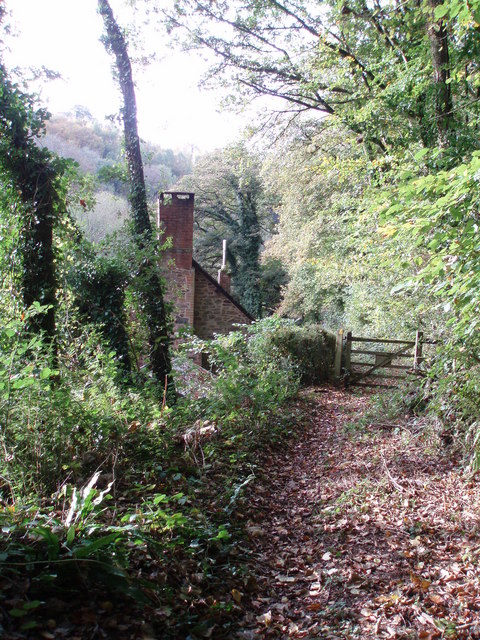
The surrounding woodlands offer a variety of recreational activities for outdoor enthusiasts. Walking trails crisscross through the dense forests, providing opportunities for leisurely strolls or more challenging hikes. The woodlands are also home to an array of flora and fauna, making it a haven for birdwatchers and nature lovers.

East Wood is conveniently located near several popular attractions. The historic town of Glastonbury, famous for its iconic Tor and annual music festival, is just a short drive away. Additionally, the beautiful city of Bath, known for its Roman baths and stunning Georgian architecture, is within easy reach.

Overall, East Wood, Somerset offers a peaceful and idyllic retreat for those seeking a break from the hustle and bustle of city life. Its beautiful woodlands, friendly community, and proximity to popular attractions make it a desirable destination for visitors and a charming place to call home.

If you have any feedback on the listing, please let us know in the comments section below.
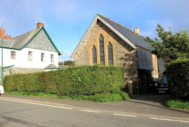
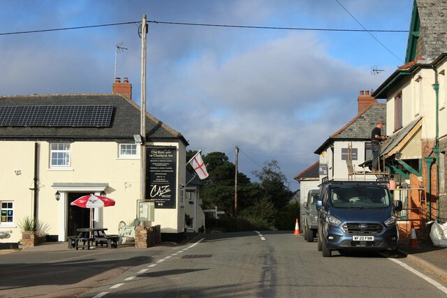
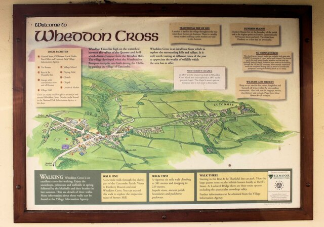
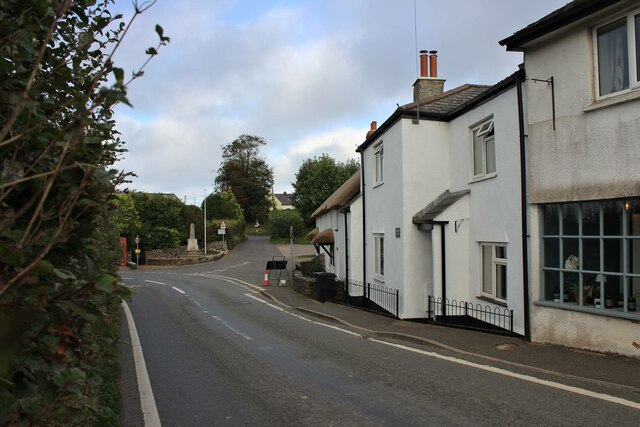
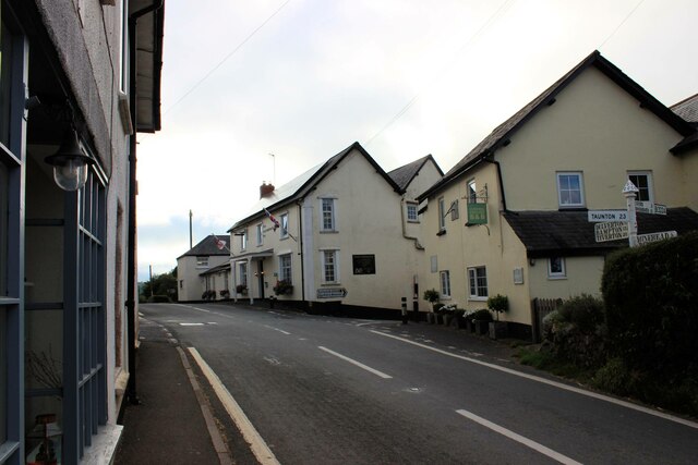
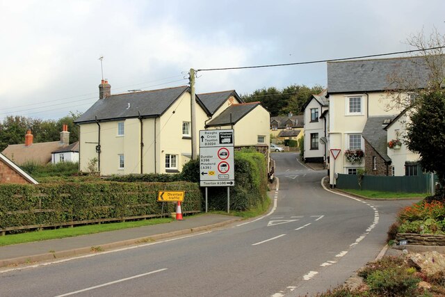
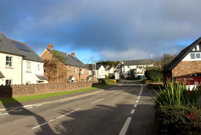
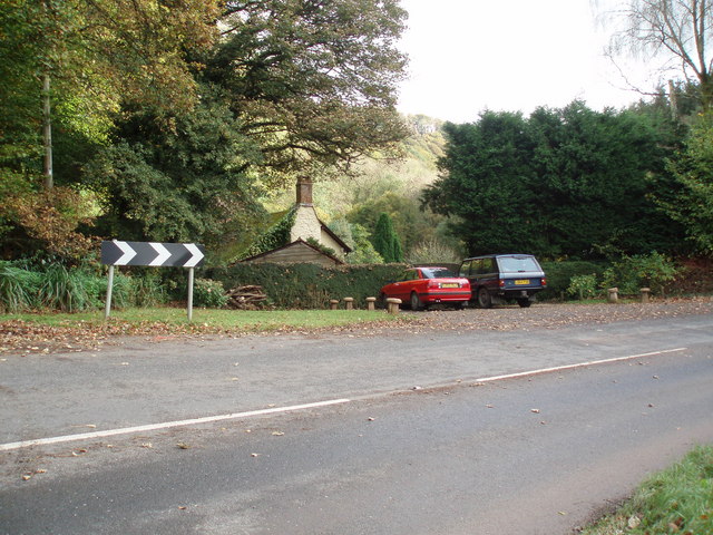
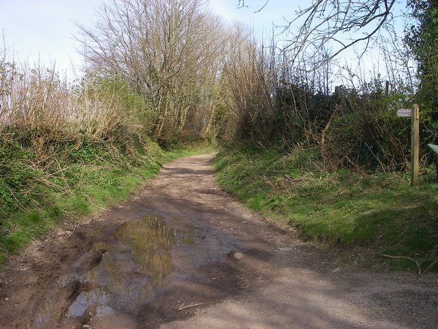
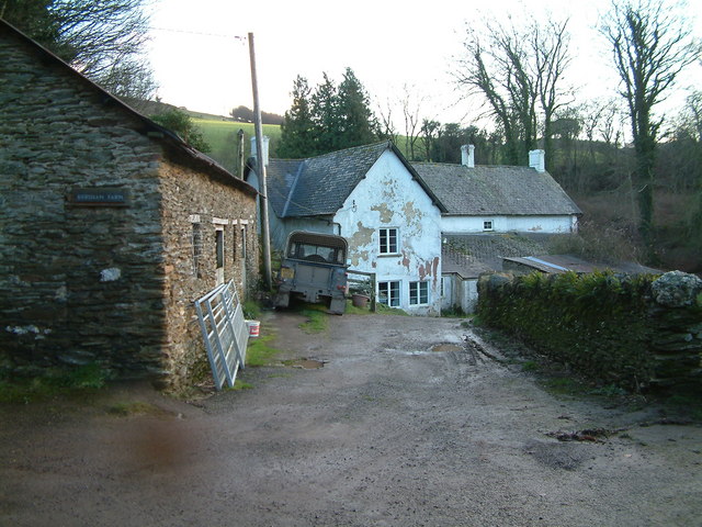
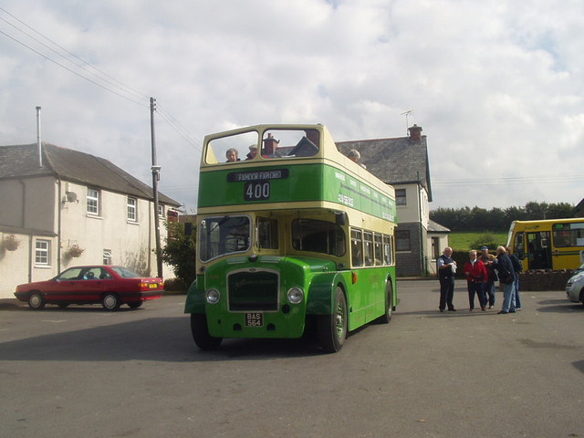
East Wood Images

Images are sourced within 2km of 51.145076/-3.5142412 or Grid Reference SS9439. Thanks to Geograph Open Source API. All images are credited.

The old Methodist Chapel, Wheddon Cross Built in 1893 to replace an earlier chapel, it is now a private residence. In the foreground is the A396 Tiverton to Minehead road.
The old Methodist Chapel, Wheddon Cross
Built in 1893 to replace an earlier chapel, it is now a private residence. In the foreground is the A396 Tiverton to Minehead road.
The Rest & Be Thankful Inn, Wheddon Cross Looking north along the A396 Tiverton to Minehead road. Immediately beyond the Inn is the very restricted junction where the B3224 crosses.
The Rest & Be Thankful Inn, Wheddon Cross
Looking north along the A396 Tiverton to Minehead road. Immediately beyond the Inn is the very restricted junction where the B3224 crosses.
Village information board, Wheddon Cross Wheddon Cross lies in the parish of Cutcombe. The village was developed when the Bampton to Minehead turnpike (now the A396) was built in the 1820s, bypassing the village of Cutcombe.
Village information board, Wheddon Cross
Wheddon Cross lies in the parish of Cutcombe. The village was developed when the Bampton to Minehead turnpike (now the A396) was built in the 1820s, bypassing the village of Cutcombe.
Norman Cottage, Wheddon Cross The pair of thatched semi-detached cottages (late C18-early C19) are Grade II listed buildings, see: <span class="nowrap"><a title="https://britishlistedbuildings.co.uk/101345718-norman-cottage-cutcombe#.YVcPs33TXIU" rel="nofollow ugc noopener" href="https://britishlistedbuildings.co.uk/101345718-norman-cottage-cutcombe#.YVcPs33TXIU">Link</a><img style="margin-left:2px;" alt="External link" title="External link - shift click to open in new window" src="https://s1.geograph.org.uk/img/external.png" width="10" height="10"/></span> . The whole block including the nearer 3rd cottage appears to be known as 'Norman Cottage'. Beyond, the road for Cutcombe veers off to the right with the village war memorial at the junction.
I've subsequently discovered that the just-visible telephone kiosk is a K6 type which apparently warrants it being Grade II listed too! See: <span class="nowrap"><a title="https://britishlistedbuildings.co.uk/101057316-k6-telephone-kiosk-wheddon-cross-cutcombe#.YVcQ2H3TXIU" rel="nofollow ugc noopener" href="https://britishlistedbuildings.co.uk/101057316-k6-telephone-kiosk-wheddon-cross-cutcombe#.YVcQ2H3TXIU">Link</a><img style="margin-left:2px;" alt="External link" title="External link - shift click to open in new window" src="https://s1.geograph.org.uk/img/external.png" width="10" height="10"/></span> .
Norman Cottage, Wheddon Cross
The pair of thatched semi-detached cottages (late C18-early C19) are Grade II listed buildings, see: LinkExternal link . The whole block including the nearer 3rd cottage appears to be known as 'Norman Cottage'. Beyond, the road for Cutcombe veers off to the right with the village war memorial at the junction. I've subsequently discovered that the just-visible telephone kiosk is a K6 type which apparently warrants it being Grade II listed too! See: LinkExternal link .
Wheddon Cross, the cross roads Looking south along the A396 Minehead to Tiverton road. On the right are Sundial House & The Rest and be Thankful Inn. In between is the very restricted junction where the B3224 crosses.
Wheddon Cross, the cross roads
Looking south along the A396 Minehead to Tiverton road. On the right are Sundial House & The Rest and be Thankful Inn. In between is the very restricted junction where the B3224 crosses.
Wheddon Cross, the cross roads The road markings on the B3224 from Exford give some idea of the restricted nature of the junction it makes with the A396.
Wheddon Cross, the cross roads
The road markings on the B3224 from Exford give some idea of the restricted nature of the junction it makes with the A396.
Approaching Wheddon Cross from the west The Rest and be Thankful Inn is prominent at the crossroads. In the immediate foreground the petrol station sign casts a shadow across the B3224.
Approaching Wheddon Cross from the west
The Rest and be Thankful Inn is prominent at the crossroads. In the immediate foreground the petrol station sign casts a shadow across the B3224.
Snow Drop Valley North Hawkwell Woods in early spring.
Snow Drop Valley
North Hawkwell Woods in early spring.
CUTCOMBE, Somerset The church of St John
CUTCOMBE, Somerset
The church of St John
The track to Stowey Farm
House at Couple Cross, in the Brendon Hills
Modern Mosaic The side wall of the public conveniences in Wheddon Cross car park have been decorated with this large mosaic of Exmoor. The bottom right hand corner identifies it as a "Community Project 1992-1995."
Modern Mosaic
The side wall of the public conveniences in Wheddon Cross car park have been decorated with this large mosaic of Exmoor. The bottom right hand corner identifies it as a "Community Project 1992-1995."
Sully Sully consists of one cottage. Photo taken from the footpath in the woods behind the cottage.
Sully
Sully consists of one cottage. Photo taken from the footpath in the woods behind the cottage.
Sully, on the A396 near Wheddon Cross. The one and only dwelling in Sully.
Sully, on the A396 near Wheddon Cross.
The one and only dwelling in Sully.
Cutcombe: Old Stowey Looking down on the farm from the road between Heath Poult Cross and Timberscombe with Croydon Hill on the skyline. View east-north-east
Cutcombe: Old Stowey
Looking down on the farm from the road between Heath Poult Cross and Timberscombe with Croydon Hill on the skyline. View east-north-east
Putham Lane Leading east from Cutcombe - this is one of many restricted byways in this part of Exmoor.
Putham Lane
Leading east from Cutcombe - this is one of many restricted byways in this part of Exmoor.
Kersham Farm
Kersham Farm
Calling at Wheddon Cross Open-topped Bristol Lodekka BAS564 calling at the car park at Wheddon Cross with the 'Exmoor Explorer' service.
Calling at Wheddon Cross
Open-topped Bristol Lodekka BAS564 calling at the car park at Wheddon Cross with the 'Exmoor Explorer' service.
Show me another place!

East Wood is located at Grid Ref: SS9439 (Lat: 51.145076, Lng: -3.5142412)

Administrative County: Somerset

District: Somerset West and Taunton

Police Authority: Avon and Somerset

What 3 Words

///voters.limiting.fists. Near Minehead, Somerset

Related Wikis

Church of St John, Cutcombe

The Anglican Church of St John in Cutcombe, Somerset, England was built in the 13th and 14th centuries. It is a Grade II* listed building. == History... ==

Cutcombe

Cutcombe is a village and civil parish 9 miles (14 km) south of Minehead and north of Dulverton straddling the ridge between Exmoor and the Brendon Hills...

Timberscombe

Timberscombe is a village and civil parish on the River Avill 2.5 miles (4 km) south-west of Dunster, and 5.5 miles (9 km) south of Minehead within the...

Brendon Hills

The Brendon Hills are a range of hills in west Somerset, England. The hills merge level into the eastern side of Exmoor and are included within the Exmoor...

St Mary's Church, Luxborough

The Anglican St Mary's Church at Luxborough within the English county of Somerset dates from the 13th century. It is a Grade II listed building.The chancel...

Wootton Courtenay

Wootton Courtenay is a village and civil parish on Exmoor in the Somerset West and Taunton district of Somerset, England. The parish includes the hamlets...

Luxborough

Luxborough is a small village and civil parish located some 6 miles (9.7 km) south of Dunster, lying amongst the Brendon Hills and the Exmoor National...

Gupworthy railway station

Gupworthy (sometimes referred to as "Goosemoor") was originally intended as an intermediate station on the West Somerset Mineral Railway (WSMR), but neither...

Nearby Amenities

Located within 500m of 51.145076,-3.5142412
The data included in this document is from www.openstreetmap.org. The data is made available under ODbL.

Have you been to East Wood?

Leave your review of East Wood below (or comments, questions and feedback).