Stowey Wood
Wood, Forest in Somerset Somerset West and Taunton
England
Stowey Wood
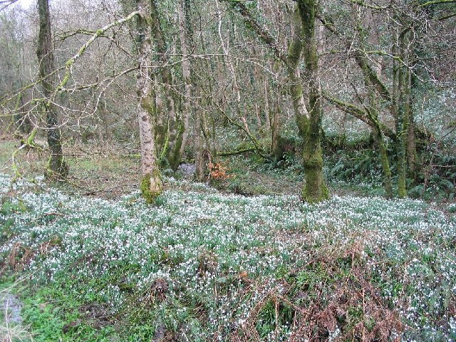
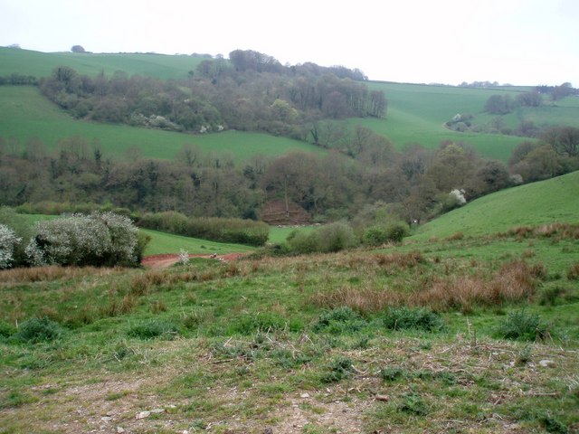
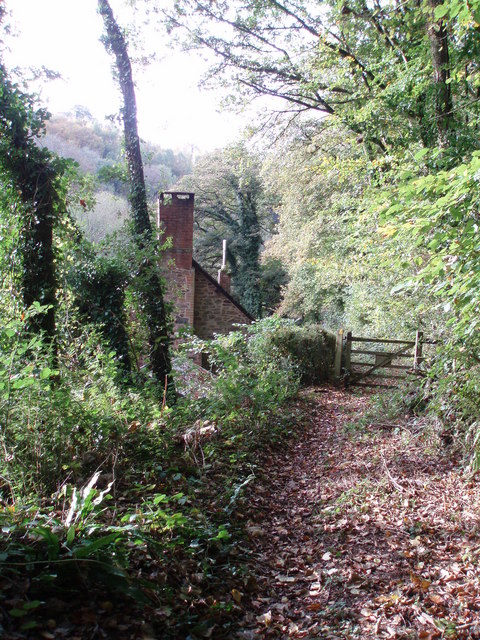
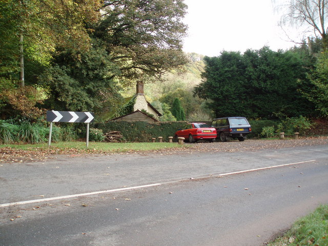
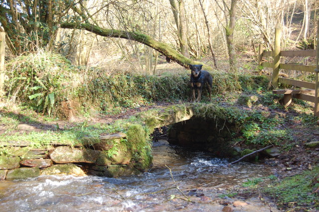
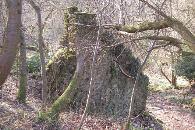
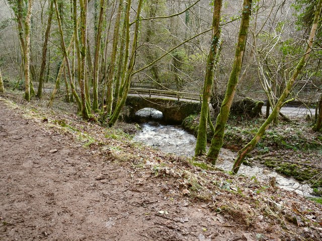
Stowey Wood is a picturesque woodland located in Somerset, England. Covering an area of approximately 220 acres, it is situated near the village of Nether Stowey in the Quantock Hills, which is an Area of Outstanding Natural Beauty.
This ancient woodland is predominantly made up of broadleaf trees, including oak, beech, and ash. The trees are well-established and create a dense canopy that provides shelter and habitat for a variety of wildlife species. The forest floor is covered in a thick carpet of moss, ferns, and wildflowers, which adds to the overall beauty of the wood.
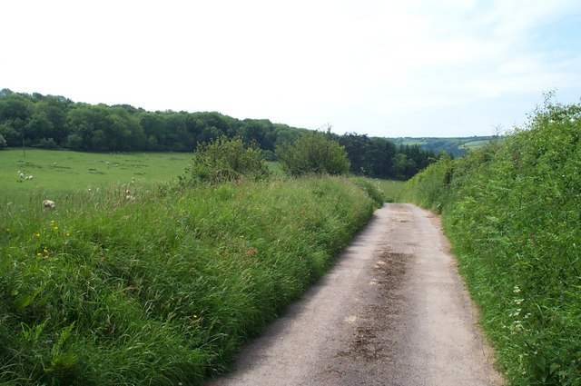
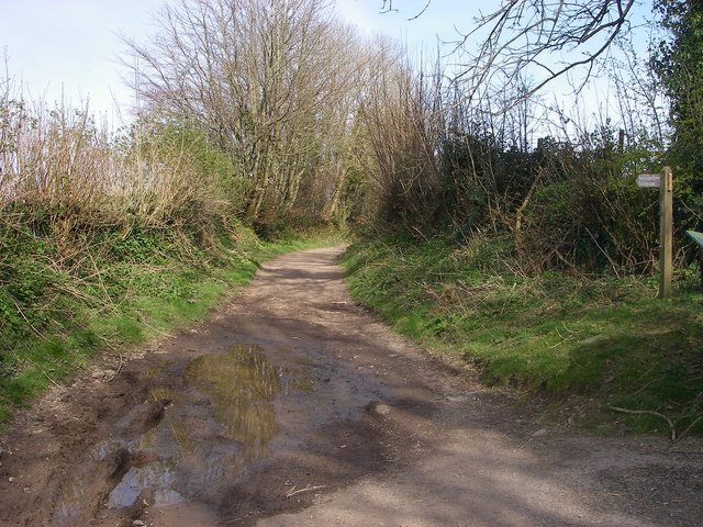
Stowey Wood is a popular destination for nature enthusiasts, hikers, and photographers. There are several well-maintained walking trails that wind through the forest, allowing visitors to explore its diverse flora and fauna. The wood offers a tranquil escape from the hustle and bustle of everyday life, with its peaceful atmosphere and soothing sounds of birdsong.
The woodland is also home to a range of wildlife, including deer, badgers, foxes, and a variety of bird species. Birdwatchers can spot woodpeckers, owls, and various songbirds among the treetops. In spring and summer, the forest comes alive with the vibrant colors of butterflies and dragonflies.
Stowey Wood is managed by the Forestry Commission, who ensure its conservation and protection. It is open to the public throughout the year, providing an opportunity for people to connect with nature and enjoy the beauty of this woodland gem in Somerset.
If you have any feedback on the listing, please let us know in the comments section below.
Stowey Wood Images
Images are sourced within 2km of 51.146191/-3.5121332 or Grid Reference SS9439. Thanks to Geograph Open Source API. All images are credited.


Stowey Wood is located at Grid Ref: SS9439 (Lat: 51.146191, Lng: -3.5121332)
Administrative County: Somerset
District: Somerset West and Taunton
Police Authority: Avon and Somerset
What 3 Words
///songbird.burst.adjusting. Near Minehead, Somerset
Nearby Locations
Related Wikis

Church of St John, Cutcombe
The Anglican Church of St John in Cutcombe, Somerset, England was built in the 13th and 14th centuries. It is a Grade II* listed building. == History... ==
Cutcombe
Cutcombe is a village and civil parish 9 miles (14 km) south of Minehead and north of Dulverton straddling the ridge between Exmoor and the Brendon Hills...

Timberscombe
Timberscombe is a village and civil parish on the River Avill 2.5 miles (4 km) south-west of Dunster, and 5.5 miles (9 km) south of Minehead within the...

Brendon Hills
The Brendon Hills are a range of hills in west Somerset, England. The hills merge level into the eastern side of Exmoor and are included within the Exmoor...

St Mary's Church, Luxborough
The Anglican St Mary's Church at Luxborough within the English county of Somerset dates from the 13th century. It is a Grade II listed building.The chancel...

Wootton Courtenay
Wootton Courtenay is a village and civil parish on Exmoor in the Somerset West and Taunton district of Somerset, England. The parish includes the hamlets...

Luxborough
Luxborough is a small village and civil parish located some 6 miles (9.7 km) south of Dunster, lying amongst the Brendon Hills and the Exmoor National...

Gupworthy railway station
Gupworthy (sometimes referred to as "Goosemoor") was originally intended as an intermediate station on the West Somerset Mineral Railway (WSMR), but neither...
Nearby Amenities
Located within 500m of 51.146191,-3.5121332Have you been to Stowey Wood?
Leave your review of Stowey Wood below (or comments, questions and feedback).