Stanterton Wood
Wood, Forest in Devon Mid Devon
England
Stanterton Wood

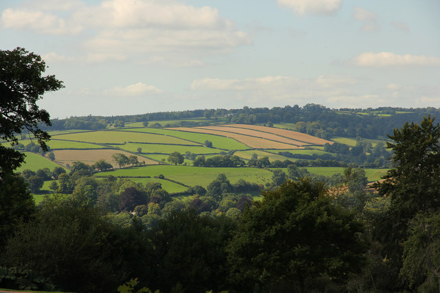
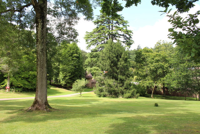
Stanterton Wood is a picturesque forest located in Devon, England. Spanning over a vast area, this wood is renowned for its natural beauty and diverse range of flora and fauna. It attracts nature enthusiasts, hikers, and photographers from all over due to its unique features and tranquil ambiance.
The wood is characterized by its dense canopy of trees, including oak, beech, and ash, which provide a sheltered habitat for various animal species. The forest floor is adorned with a rich carpet of moss, ferns, and wildflowers, creating a vibrant and colorful landscape throughout the year.
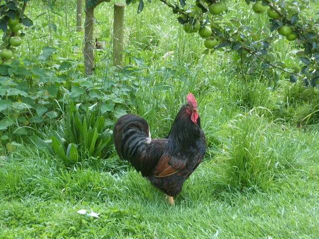
Stanterton Wood is crisscrossed by a network of winding footpaths and trails, allowing visitors to explore its hidden corners and discover its hidden gems. Along the trails, one can encounter several species of birds, such as woodpeckers, owls, and warblers, as well as small mammals like badgers and foxes.
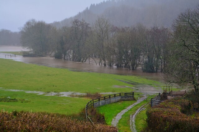
The wood also boasts a small river that meanders through its heart, offering a soothing soundtrack of babbling water. This river not only adds to the beauty of the forest but also serves as a vital water source for the surrounding flora and fauna.
With its enchanting beauty and peaceful atmosphere, Stanterton Wood offers a perfect escape from the hustle and bustle of daily life. Whether one is seeking a leisurely stroll, a challenging hike, or simply a moment of tranquility amidst nature, this Devon woodland is an ideal destination.
If you have any feedback on the listing, please let us know in the comments section below.
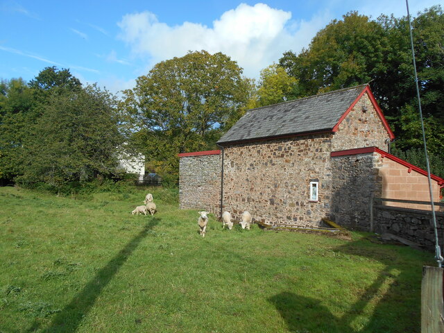
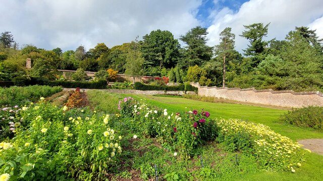
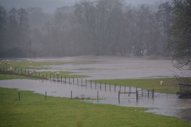
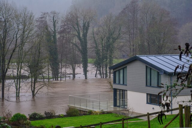
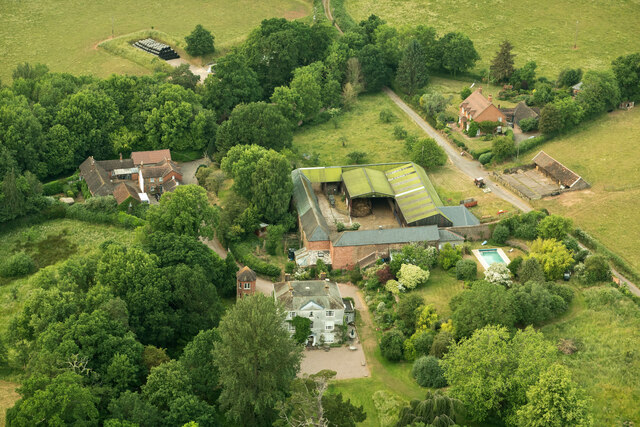
Stanterton Wood Images
Images are sourced within 2km of 50.937433/-3.5057343 or Grid Reference SS9416. Thanks to Geograph Open Source API. All images are credited.


Stanterton Wood is located at Grid Ref: SS9416 (Lat: 50.937433, Lng: -3.5057343)
Administrative County: Devon
District: Mid Devon
Police Authority: Devon and Cornwall
What 3 Words
///trifling.radically.divorcing. Near Tiverton, Devon
Related Wikis

Washfield
Washfield is a village, parish and former manor in Devon, England, situated about 2 miles north-west of Tiverton. The parish church is dedicated to St...

Castle Close
Castle Close is a circular earthwork located near Stoodleigh in Mid Devon, England at OS grid reference SS937181. It is described on maps as a settlement...

Knightshayes Court
Knightshayes Court is a Victorian country house near Tiverton, Devon, England, designed by William Burges for the Heathcoat-Amory family. Nikolaus Pevsner...

Calverleigh
Calverleigh (anciently Calwoodleigh) is a village and former civil parish and manor, now in the parish of Loxbeare, in the Mid Devon district, in the county...

Tiverton High School
Tiverton High School is a state secondary school located in Tiverton, Devon, England. It is located on the outskirts of the town, and has a close working...

Loxbeare
Loxbeare is a village and civil parish in Devon, England. The church is from the twelfth century and the tower is probably Norman. It is dedicated to St...
Tiverton Cemetery
Tiverton Cemetery is the burial ground for the town of Tiverton in Devon. The cemetery covers eight acres and is owned and maintained by Mid Devon Council...

Bolham, Devon
Bolham is a village in the parish of Tiverton in Devon, England. It was the object of much attention in December 2011 when a Stags head, said to resemble...
Nearby Amenities
Located within 500m of 50.937433,-3.5057343Have you been to Stanterton Wood?
Leave your review of Stanterton Wood below (or comments, questions and feedback).